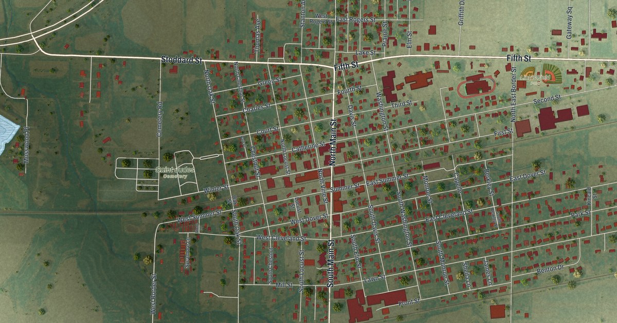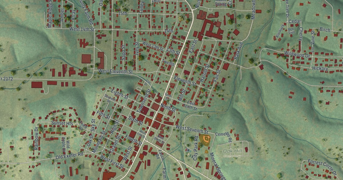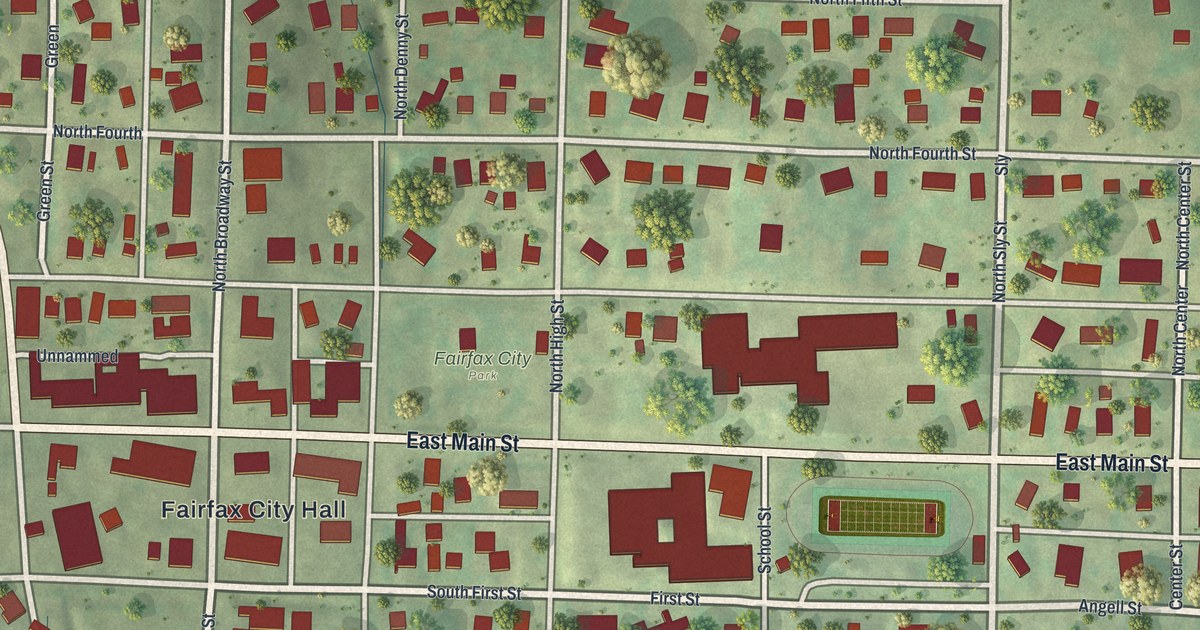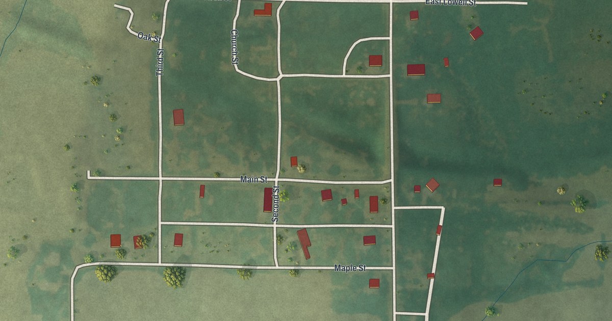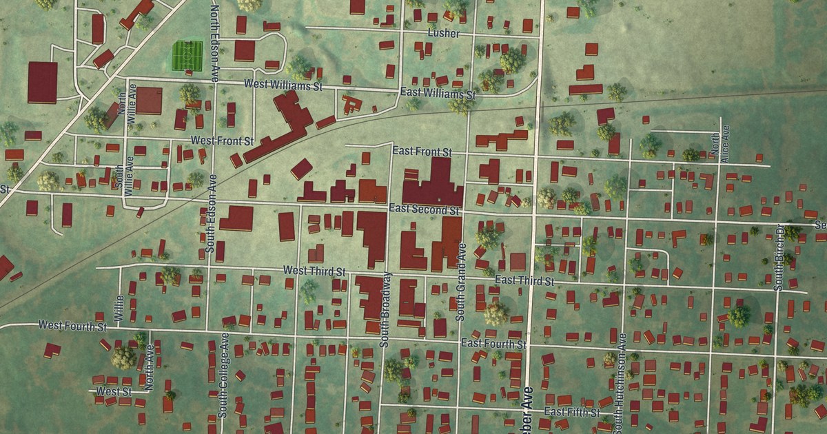
If you grew up in Salisbury, went to school here or still have family near South Broadway, this map gives you plenty to find. It's a new aerial view of Salisbury in Chariton County, Missouri, made from modern data and given a vintage look. Numbered streets from West Second Street down to West Twelfth Street cross the town. North Weber Avenue and South Weber Avenue run through town near the middle of the print. More than 1,200 buildings are drawn in deep red over soft green hills.
South Broadway, Weber Avenue and the city park
Start downtown, where South Broadway crosses East Second Street. Red building shapes cluster around that corner. One block north is East Front Street. Keep going north on North Broadway, past Lusher and Iowa Street, to East Minnesota Street near the top. A long diagonal road runs from the left edge toward the upper middle of the print. Now find North Weber Avenue, a few blocks east of Broadway. It runs straight down the middle of the print.
Follow it south, where it becomes South Weber Avenue. In the lower half of the print, a ball diamond sits in Salisbury city park beside City Park Street, just west of Weber. Right by the park, a road heads east. It's labeled Co Road Pp, then East Ninth Street, then Salisbury Road near the right edge. West of the park, West Ninth, West Tenth and West Eleventh Streets step down the lower left. Morningside Drive and Melody Lane curve through the blocks below. Many roads are labeled, and each red shape is a building, so zoom in on the preview and look for yours.
Two spots in town are on the National Register of Historic Places. The Salisbury Square Historic District takes in nine addresses on South Broadway, from 402 to 508. It was listed in 2009. The Fabrishous and Sarah A. Thomas House, at 302 East Second Street, was listed in 1999. Both sit within a few blocks of the downtown corner where this tour started.
Mount Nebo church and the 1830 tornado
An 1883 book, the History of Howard and Chariton Counties, tells two early stories from around here. It says the pioneer church was Mount Nebo. The Baptists built it about three miles west of the present town of Salisbury. The same book says a tornado came through about September 10, 1830. It swept through part of Salisbury township. Now look at the left side of the print. Minnesota Road crosses open fields near the top left. West Second Street appears farther down among the town's buildings.
For someone who grew up near South Weber Avenue
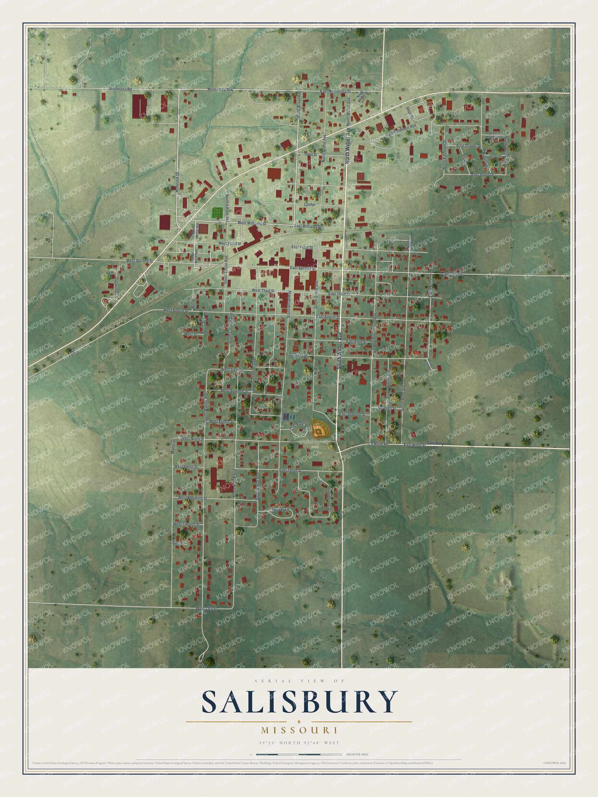
Created by KNOWOL in 2026, this map of Salisbury shows the town's streets and buildings. The title panel reads "Aerial View of Salisbury, Missouri," with the coordinates 39°25' North and 92°48' West.
It fits a kitchen, a den or a hallway where family photos hang. It's a good gift for someone who grew up in Salisbury, played ball at the city park or knows South Broadway, especially if they've moved away. Open the preview, zoom in and find the street you know. See sizes and frames for the Salisbury map.