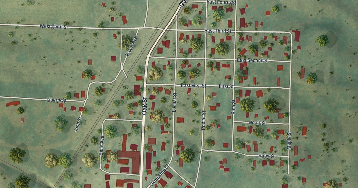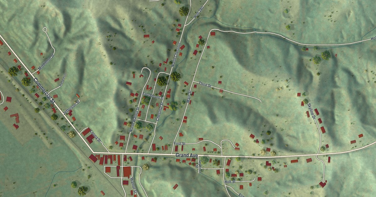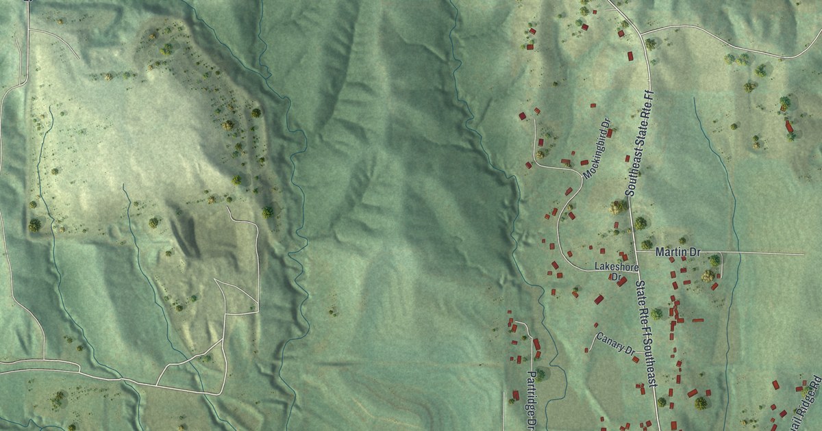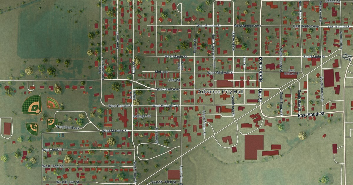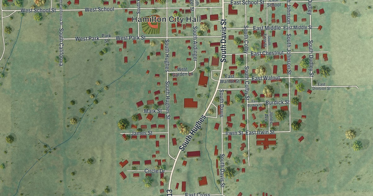
If you grew up in Hamilton, have family in town, or drive North Davis Street most days, this map gives you plenty to find. It's a modern aerial view of Hamilton in Caldwell County, Missouri, built from modern data with a vintage look. Soft green land is shaded all around, and about 960 buildings are drawn in red. The town sits in the middle of the sheet, around Hamilton City Hall. A wide road crosses near the bottom, and green shaded land fills the corners.
Hamilton City Hall, Davis Street and West Berry Street
Start at Hamilton City Hall near the middle of the print. West Berry Street runs just above it. Follow West Berry east to South Davis Street. North Davis Street carries on above that crossing, past West Bird Street, West Samuel Street, West Sixth Street and West Eighth Street. East Samuel Street is labeled on the other side of Davis. Head south on South Davis toward Irwin Street, which runs east across the lower part of town. Many roads are named, and each red shape is a building, so zoom in on the preview and look for yours.
How Hamilton's first house went up in 1856
A county history covering Caldwell County says Davis was made trustee of Hamilton's Town Company. He built the first house in Hamilton and moved into it in April 1856. The same book names the first settler in Hamilton Township. Nathaniel Marsh settled near the Daviess County line in 1837, about three miles northwest of town. That was almost 20 years before the first house went up in Hamilton.
Today Hamilton City Hall marks the middle of the map. The National Register lists the P.A. Switzer Residence at 211 East Samuel Street, with a 2024 listing date. East Samuel Street is printed on the map, along with West Samuel Street. Cemetery Road is printed near the upper left of the map.
For someone who knows Davis Street in Hamilton
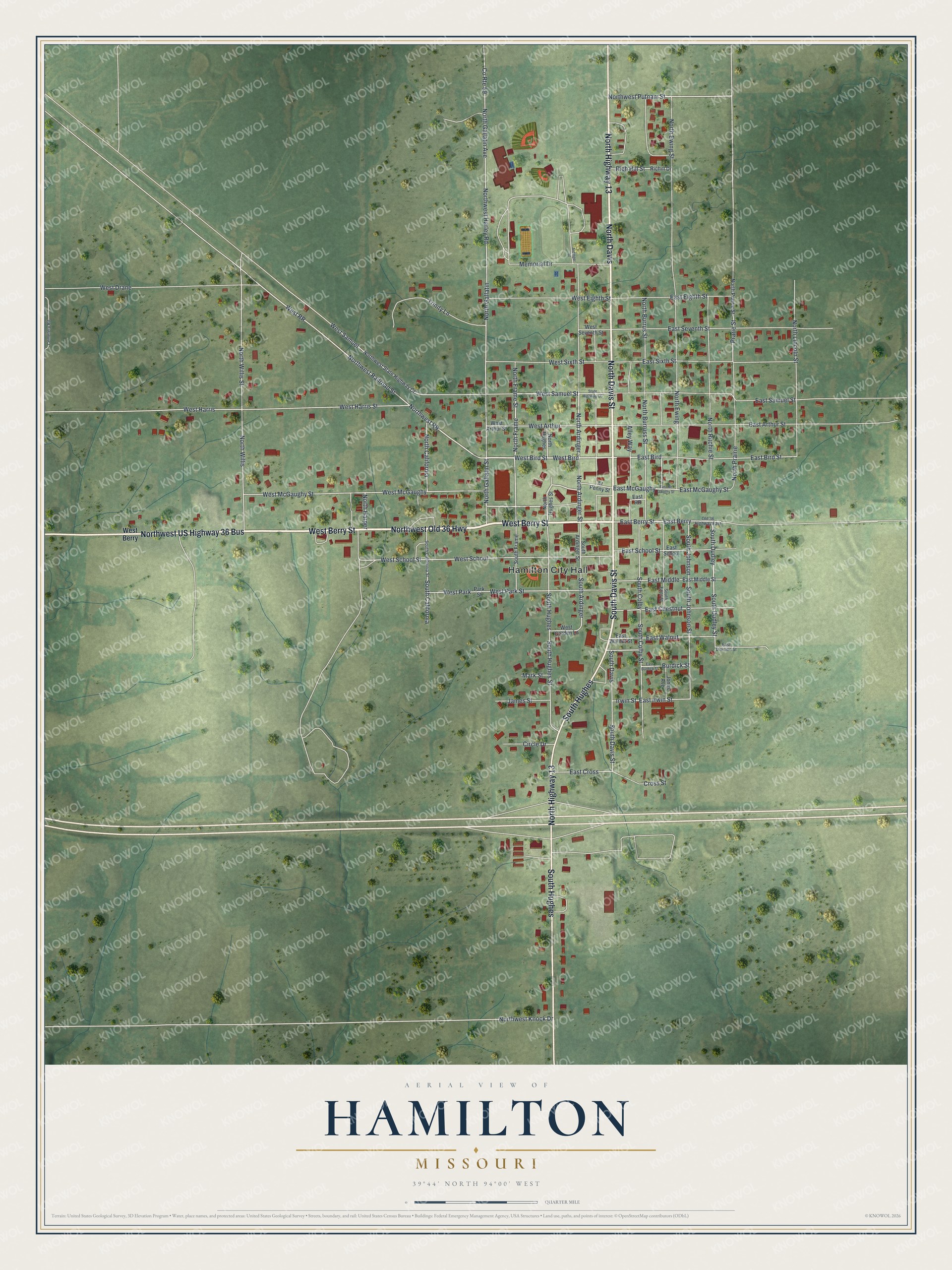
Created by KNOWOL in 2026, this Hamilton map shades the land and draws each building in deep red against soft green country. It fits a kitchen, a den or an office wall where someone can stop and find a familiar block. The title panel reads "Aerial View of Hamilton, Missouri" with the coordinates 39°44' North, 94°00' West.
It's a thoughtful gift for someone who grew up near Hamilton City Hall, moved away from Caldwell County, or still has family on West Berry Street. Open the preview, zoom in and find the street you know. See sizes and frames for the Hamilton map.