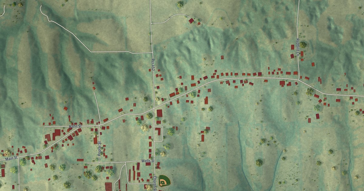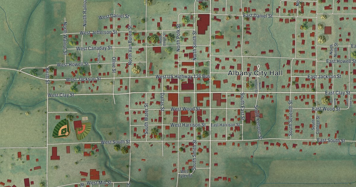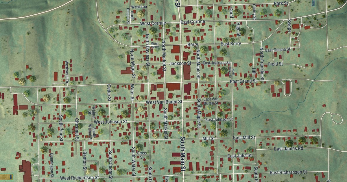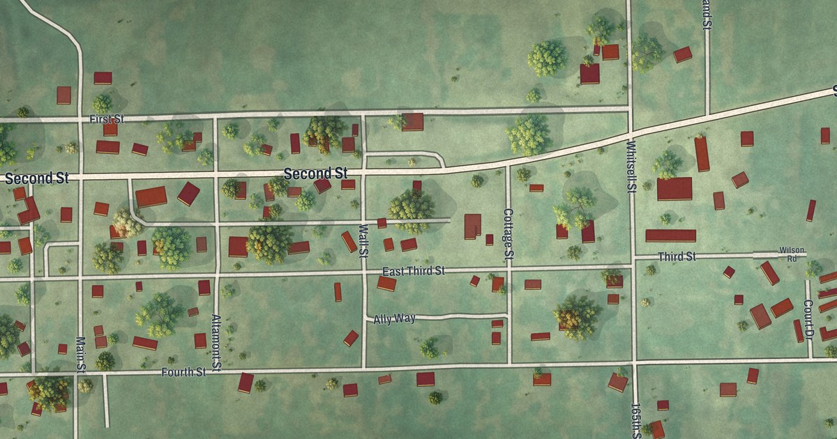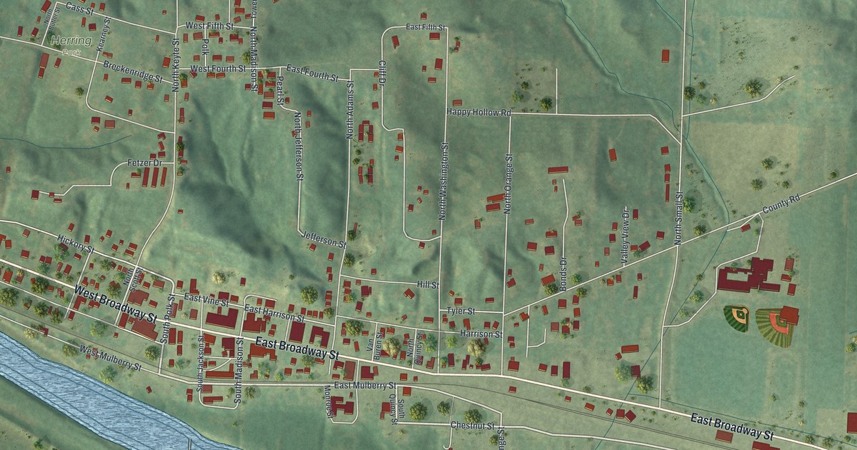
If you grew up in Brunswick, or you still come home to see family along Broadway, this map puts the whole town in one frame. It's a modern aerial view of Brunswick in Chariton County, Missouri, drawn from modern data with a vintage feel. West Broadway Street and East Broadway Street run the length of town, and a wide blue river curves along the lower left. Red buildings climb the side streets toward green hills in the north. Flat farm fields open up to the south and east.
West Broadway Street, Fourth Street and Herring Park
Start downtown, where West Broadway Street turns into East Broadway Street and the red buildings sit closest together. East Harrison Street and East Vine Street run just above it. East Mulberry Street and South Madison Street lie just below. Now head west on West Broadway Street toward the bend in the river. Hickory Street, Filmore Street and Crystal Alley sit north of West Broadway Street. West Mulberry Street runs down close to the water.
Back downtown, follow North Madison Street uphill to West Fourth Street and East Fourth Street. Breckenridge Street is farther north. Herring Park is west of North Madison Street, near Breckenridge Street. Cass Street, Douglas Street and Clay Street sit near the top of town. Back on East Broadway Street, head east. Tyler Street and Hill Street sit above Broadway. County Road runs northeast toward the top right. Between it and East Broadway, look for a big group of red buildings. Many roads are labeled, and each red shape is a building, so zoom in on the preview and find yours.
How Brunswick grew as a river shipping town
An 1883 county history says Brunswick was first built on the banks of the Missouri River. That made the town a market and an excellent shipping point for the farms around it. The book says tobacco was perhaps the farmer's main source of wealth in the years before the Civil War. It also records that the first house in Brunswick was a log house. The first bank in town was a branch of the Merchants' Bank.
On the map, West Broadway Street and East Broadway Street still follow the low, flat ground where that river town grew. The side streets climb north into the hills. East Broadway keeps going past the last houses, out through the fields to the right edge of the sheet.
For someone who grew up off Broadway in Brunswick
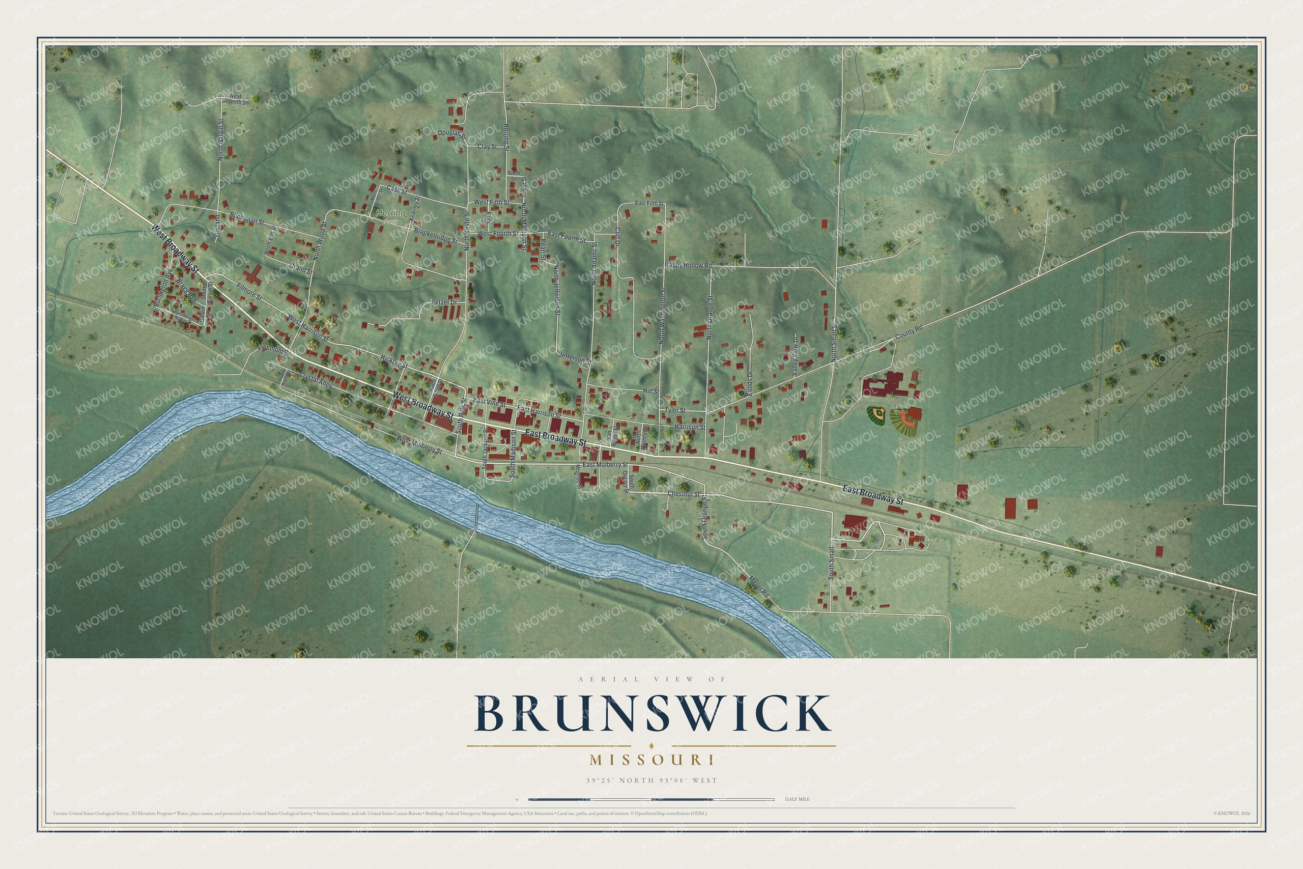
Created by KNOWOL in 2026, this Brunswick map marks 612 buildings in red. The hill shading comes from USGS elevation data, so the rise north of Broadway is the real shape of the land. The title panel reads "Aerial View of Brunswick, Missouri," with the coordinates 39°25' North, 93°08' West and a half-mile scale bar.
It suits a kitchen, a den or a farmhouse office. It's a thoughtful gift for someone who grew up near Herring Park, moved away from Chariton County, or still has family on the streets off Broadway. Open the preview, zoom in and find a street you know. See sizes and frames for the Brunswick map.