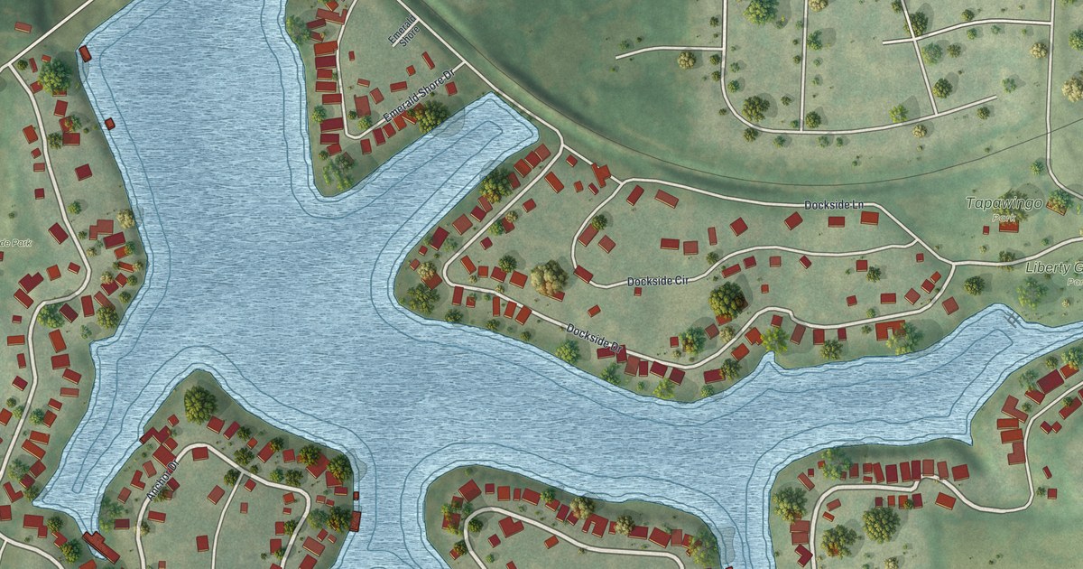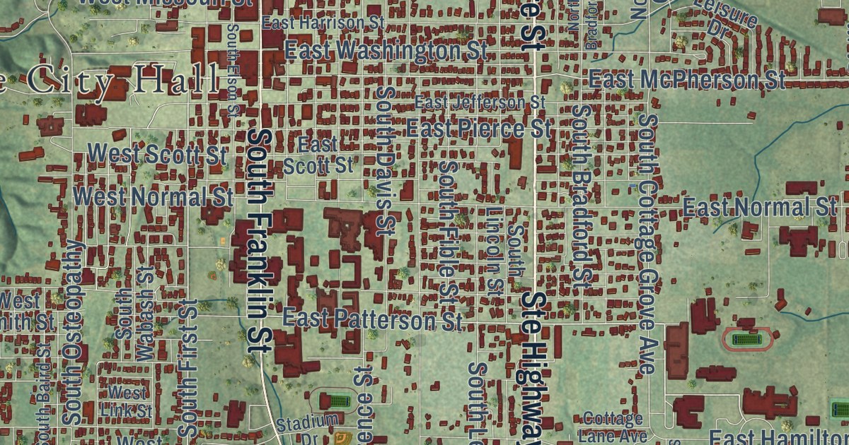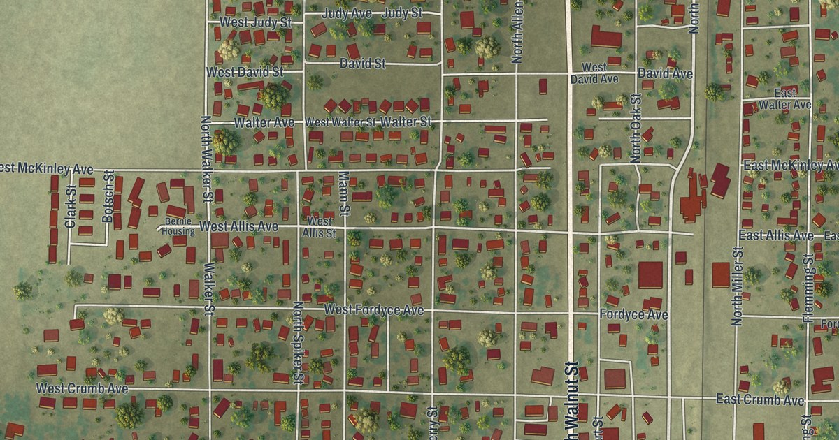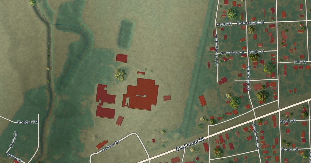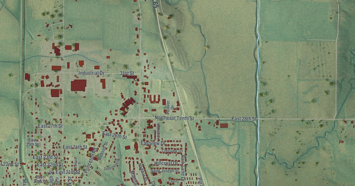
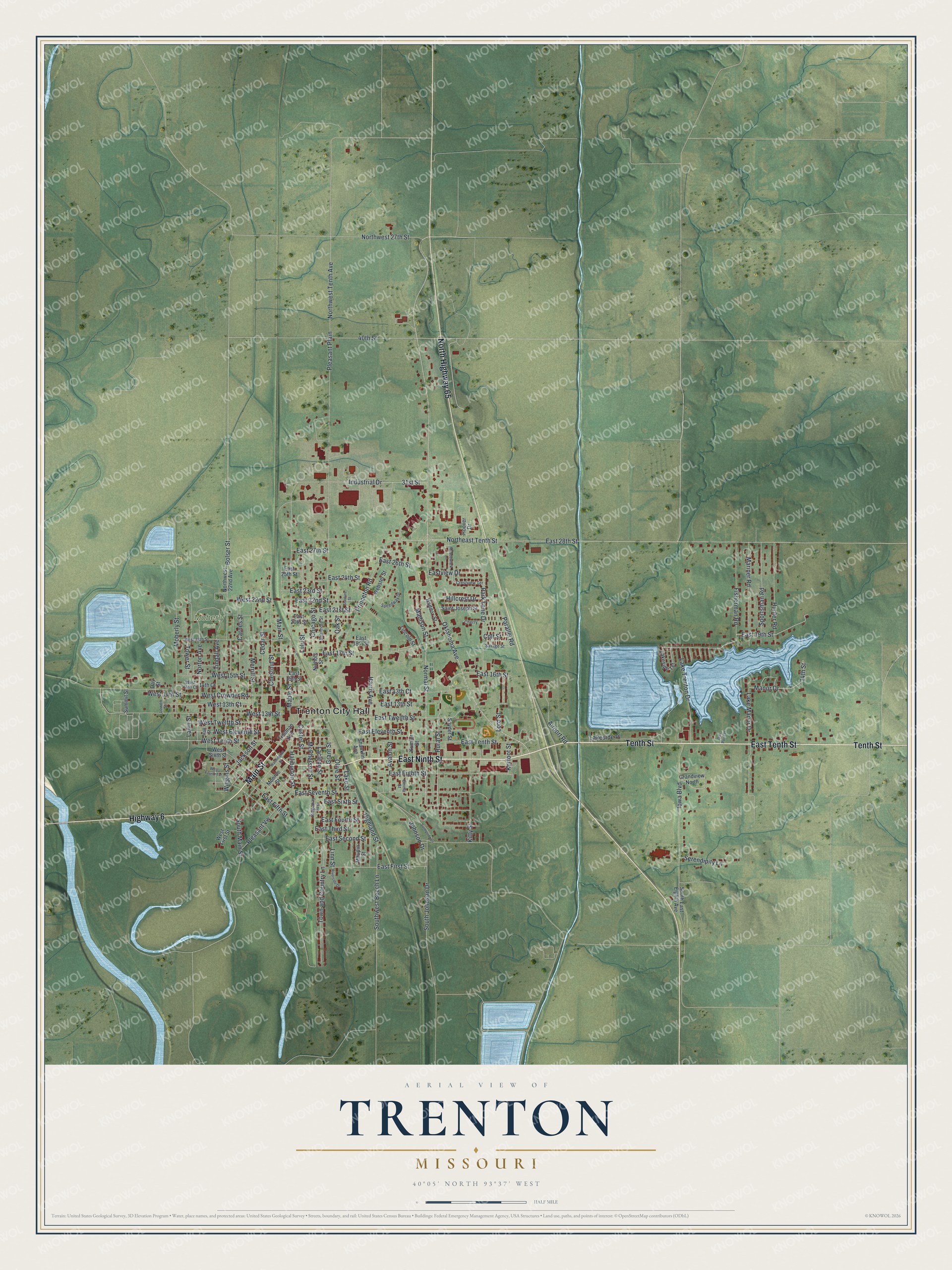
This beautifully detailed map of Trenton, Missouri was created in 2026 using aerial imagery combined with modern topographical, census, street and landmark data. It’s a one-of-a-kind view of Trenton that combines accurate data with a vintage aesthetic. The map shows every building in its true location, many of the roads carry their names, and the shaded topographic relief shows the shape of the land.
Explore an aerial view of Trenton, Missouri
On the map you’ll find Trenton City Hall and Moberly Park, along with East Ninth Street, Tenth Street, Main Street, East Tenth Street, North Highway 65, Highway 6, Oklahoma Avenue, West Tenth Street, Rural Street, East Sixth Street, and more. If you look closely you can even find your house accurately drawn in its correct location. Zoom in on the preview to look for yours.
Did you know this piece of Trenton, Missouri history?
From the State Historical Society of Missouri: "Trenton, the county seat of Grundy County, was named from the city in New Jersey. The town was first known as Lomax’s Store until 1841 as James Lomax had a store there."
Take a closer look at the Trenton map
Street and place names on the Trenton, Missouri map
These names are printed on the map of Trenton, Missouri.
Places: Trenton City Hall and Moberly Park.
Streets and roads: East Ninth Street, Tenth Street, Main Street, East Tenth Street, North Highway 65, Highway 6, Oklahoma Avenue, West Tenth Street, Rural Street, East Sixth Street, West Eleventh Street, Normal Street.
More street names, A to Z
14th Court, 14th Street, 31st Street, 40th Street, Airport Road, Avalon Street, Baltimore Street, Bolser Street, Carnes Street, Cedar Street, Cherry, Chestnut Street, Chicago Street, Colt Street, Crestview Terrace, Custer Street, Day Street, East 13th Court, East 13th Street, East 15th Street, East 16th Street, East 17th Street, East 18th Street, East 19th Street, East 20th Street, East 21st Street, East 22nd Street, East 23rd Street, East 24th Street, East 25th Street, East 26th Street, East 27th Street, East 28th Street, East Eighth Street, East Eleventh Street, East Fifth Street, East First Street, East Fourth Street, East Second Street, East Seventh Street, East Third Street, East Twelfth Street, Eastview Drive, Emma Street, Fisherman Road, Grandview North, Grant Street, Haddox Street, Haliburton Street, Hall Street, Harris Avenue, Highland Street, Hillcrest Drive, Hoover Drive, Hunter Road, Industrial Drive, Iowa Boulevard, Jackson Street, Johnson Drive, Kerfoot Street, Kitty Street, Kumler Street, Laclede Street, Lake Manor Drive, Lakeside Place, Lakeside Terrace, Lake Street, Lake Trenton Drive, Lawn Street, Lincoln Street, Linn Street, Lord Street, Lowen Street, Lulu Street, Mable Street, Madison Street, Manor Drive, Mariner Road, Maupin Street, McPherson Street, Meadowlark Lane, Merrill Street, Moberly Street, Monroe Street, Nichols Street, Northeast Tenth Street, Northwest 22nd Avenue, Northwest 27th Street, Northwest Tenth Avenue, Norton Avenue, Oak Point Place, Oak Street, Olive Street, Parallel Road, Park Lane Drive, Pleasant Plain, Pleasant Vw, Princeton Road, Ridgeway Avenue, Riverside Drive, Saint Joseph Street, Savage Street, Serendipity Lane, Shanklin Avenue, Snyder Street, South East Eighth Avenue, South Johnson Drive, South Main Street, Southwest Beech Lane, Speedway Drive, Sportsman Road, Stanture Street, Summit Street, Sunnyside Drive, Tindall Avenue, Tinsman Avenue, Tower Street, Town and Country Lane, Washington Street, Webster Street, West 13th Court, West 13th Street, West 14th Court, West 14th Street, West 15th Street, West 18th Street, West 22nd Street, West Crowder Road, West First Street, West Fourth Terrace, West Sixth Street, West Twelfth Street, Wiggins Street.
See the Trenton, Missouri map on a wall
The Trenton map as an 18 x 24 inch print in a black frame.

This beautifully detailed map of Trenton makes an attractive addition to your office, library, or den, and it can even be used to teach children the geography and history of the area. It also makes a great gift for anyone who grew up in Trenton or moved away. When you’re done exploring, click here to get your copy of the Trenton map.