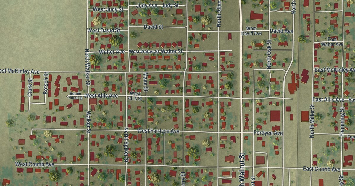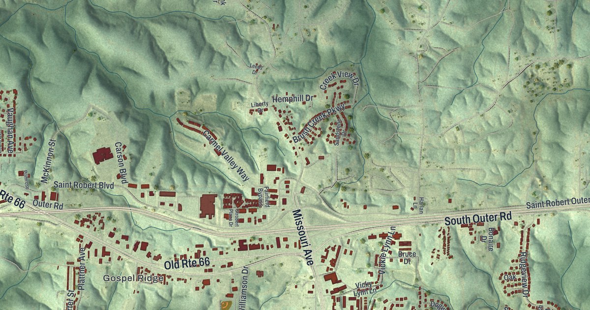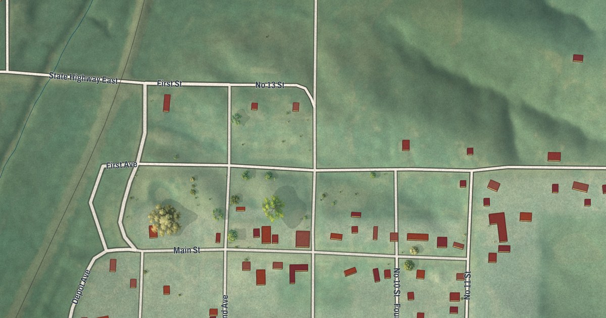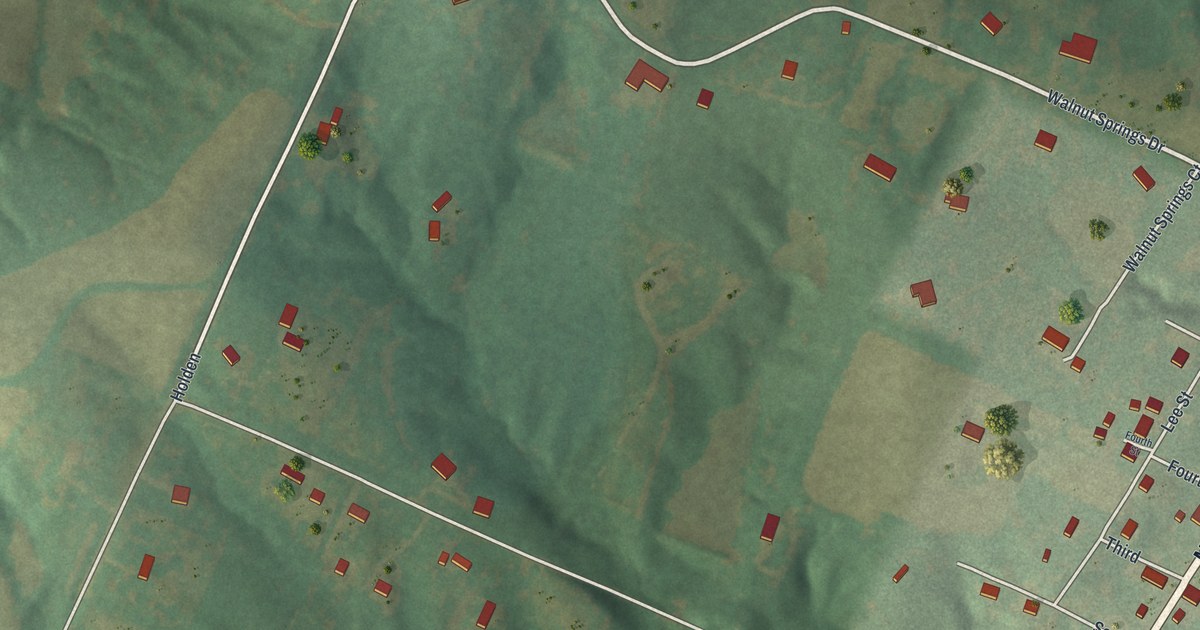
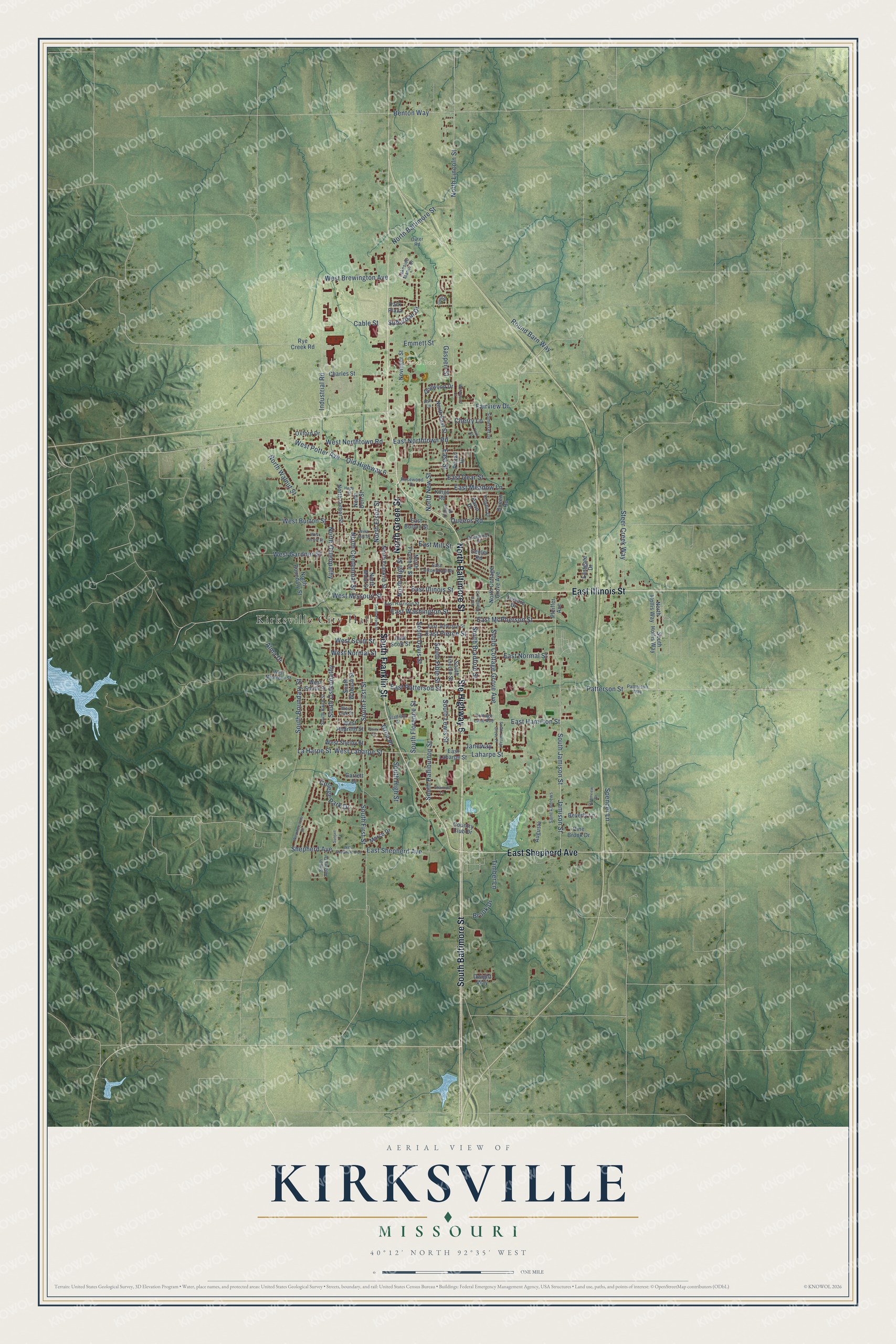
This beautifully detailed map of Kirksville, Missouri was created in 2026 using aerial imagery combined with modern topographical, census, street and landmark data. It’s a one-of-a-kind view of Kirksville that combines accurate data with a vintage aesthetic. The map shows every building in its true location, many of the roads carry their names, and the shaded topographic relief shows the shape of the land.
Explore an aerial view of Kirksville, Missouri
On the map you’ll find Kirksville City Hall, Maple Hill Cemetery, and North Park, along with East Illinois Street, South Franklin Street, Ste Highway 6, North Green Street, South Baltimore Street, North Baltimore Street, East Shepherd Avenue, Jamison Street, East McPherson Street, and more. If you look closely you can even find your house accurately drawn in its correct location. Zoom in on the preview to look for yours.
Did you know this piece of Kirksville, Missouri history?
The Battle of Kirksville was fought from August 6 to 9, 1862, during the Civil War. Union troops under John McNeil forced Confederate volunteers led by Joseph Porter out of the city. Nearly all of the 150 to 200 dead were Confederates. Afterward, McNeil executed several prisoners who had broken their parole.
Take a closer look at the Kirksville map
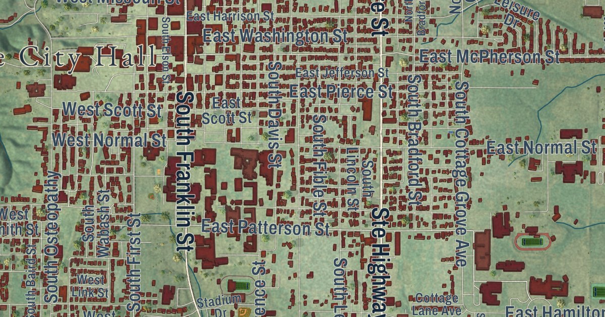
Street and place names on the Kirksville, Missouri map
These names are printed on the map of Kirksville, Missouri.
Places: Kirksville City Hall and North Park.
Streets and roads: Ste Highway 6, East Illinois Street, South Baltimore Street, North Baltimore Street, South Franklin Street, North Green Street, East Shepherd Avenue, Old Highway 6, North Elson Street, Fairview Drive, Jamison Street, East Patterson Street.
More street names, A to Z
Alma Drive, Ash Lane, Augusta, Benton Way, Beverly Lane, Brook Drive, Cable Street, Center Road, Charles Street, Cherry Lane, College Park Drive, Cottage Lane Avenue, Country Club Drive, Crown Drive, Dawnview Drive, Dogwood Drive, Dwight Way, East Burton Street, East Cottonwood Street, East Dear Street, Eastgate Drive, East Hamilton Street, East Harrison Street, East Jefferson Street, East Laharpe Street, East McPherson Street, East Meadow Lane, East Mill Street, East Normal Street, East Northtown Road, East Pierce Street, East Scott Street, East Street, East Washington Street, Emmett Street, Garrett Drive, Gasperi Street, Grim Drive, Grim Place, Hope Street, Industrial Road, Janeway, Kings Road, Knights Drive, Laharpe Street, La Harpe Street, Lakeside Manor Drive, Leisure Drive, Marco Drive, North Boundary Street, North Bradford Street, North Centennial Street, North Cottage Grove Avenue, North Don Street, North East Street, North Florence Street, North Franklin Street, North High Street, North Hollis Way, North Lincoln Street, North Luther Street, North Main Street, North New Street, North Osteopathy, North Walnut Street, Novinger Street, Outer Road, Overbrook Drive, Oxford Drive, Park Plaza, Patterson Street, Patterson Way, Pawn Drive, Pfeiffer Avenue, Pine Brook Drive, Pintail Drive, Quail Drive, Queen Road, Queens Road, Rosewood Drive, Round Barn Way, Rye Creek Road, Saint Andrews, Shannon Lane, Shepherd Avenue, Somerset Drive, South Adams Drive, South Baird Street, South Boundary Street, South Bradford Street, South Cottage Grove Avenue, South Cottage Grove Place, South Davis Street, South Elson Street, South Fible Street, South First Street, South Florence Street, South Halliburton Street, South High Street, South Hollis Way, South Jamison Street, South Lewis Street, South Lincoln Street, South Osteopathy, South Wabash Street, Spencer Lane, Stadium Drive, Steer Creek Way, Suburban Drive, Sunset Cv, Timber Lane, Weatherstone Drive, West Brewington Avenue, West Burton Street, West Gardner Street, West Hildreth Street, West Laharpe Street, West Link Street, West Locust Street, West Michigan Street, West Mill Street, West Missouri Street, West Normal Street, West Northtown Road, West Potter Avenue, West Scott Street, West Shelby Street, West Shepherd Avenue, West Smith Street, Woodwind Court, York Street.
See the Kirksville, Missouri map on a wall
The Kirksville map as an 18 x 24 inch print in a black frame.

This beautifully detailed map of Kirksville makes an attractive addition to your office, library, or den, and it can even be used to teach children the geography and history of the area. It also makes a great gift for anyone who grew up in Kirksville or moved away. When you’re done exploring, click here to get your copy of the Kirksville map.