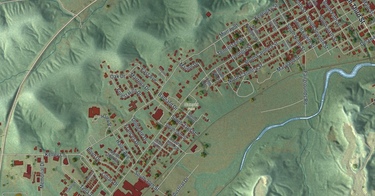
If you grew up in Louisiana, still have family in town, or know Georgia Street by heart, this map has a lot for you to find. It's a modern aerial view of Louisiana in Pike County, Missouri, made from modern data with a vintage look. More than 2,000 buildings are marked in deep red. A wide blue river fills the upper right corner, and green hills fold around the town on the other sides. Up close, you can find your own block.
From Mansion Street to Elmwood and Wallace Park
Start at Mansion Street in the upper right, where it runs down to the wide blue river. A thin line carries the road across the water to the far bank. North Third Street follows the riverfront south from there, through the thickest cluster of red buildings. Now find Georgia Street near the river and follow it southwest. It's the long road that crosses the whole sheet. Kentucky, Tennessee and North Carolina Streets head the same way close beside it.
Georgia Street leaves the older grid and heads toward Elmwood, printed near the middle of the sheet. Wallace Park is just to the west, with Memorial Drive close by. Kelly Lane runs west from there toward the hills. Back at the top of town, Frankford Road heads west, and Riverview Cemetery sits just above it. Down by the water, Clinton Street lies just south of where a creek meets the river. Many of the roads are labeled, and each red shape is a building, so zoom in on the preview and look for yours.
How Louisiana got its name
An 1883 history of Pike County says the town was laid out by James Jones. He was the first surveyor of the county. The book also settles a question about the name. Louisiana was named for the state of Louisiana. The name didn't come, the book says, from "the beautiful face of some mythical Louise, as many have imagined." Now look at the street names printed on this map. Georgia, Kentucky, Tennessee, Maryland, Alabama, Texas, Iowa, Ohio, Nebraska and Delaware Streets all carry state names, too. So do North Carolina and South Carolina Streets.
Louisiana's National Register places on Third and Georgia Streets
Ten places in Louisiana are on the National Register of Historic Places, and each one has an address on a printed street. The Louisiana Public Library is at 121 North Third Street. The Luce-Dyer House and the Goodman-Stark House are on North Third, too. The house and carriage house of Governor Lloyd Crow Stark are at 1401 Georgia Street. Farther west on Georgia are the Captain George and Attella Barnard House and the Pike County Hospital. The Charles Bacon House is at 819 Kentucky Street. Bethel Chapel AME Church stands where Sixth and Tennessee Streets meet. Downtown, the City Market is on South Main Street, and the Chicago and Alton Railroad Depot is on South Third.
For anyone who knows Georgia Street in Louisiana
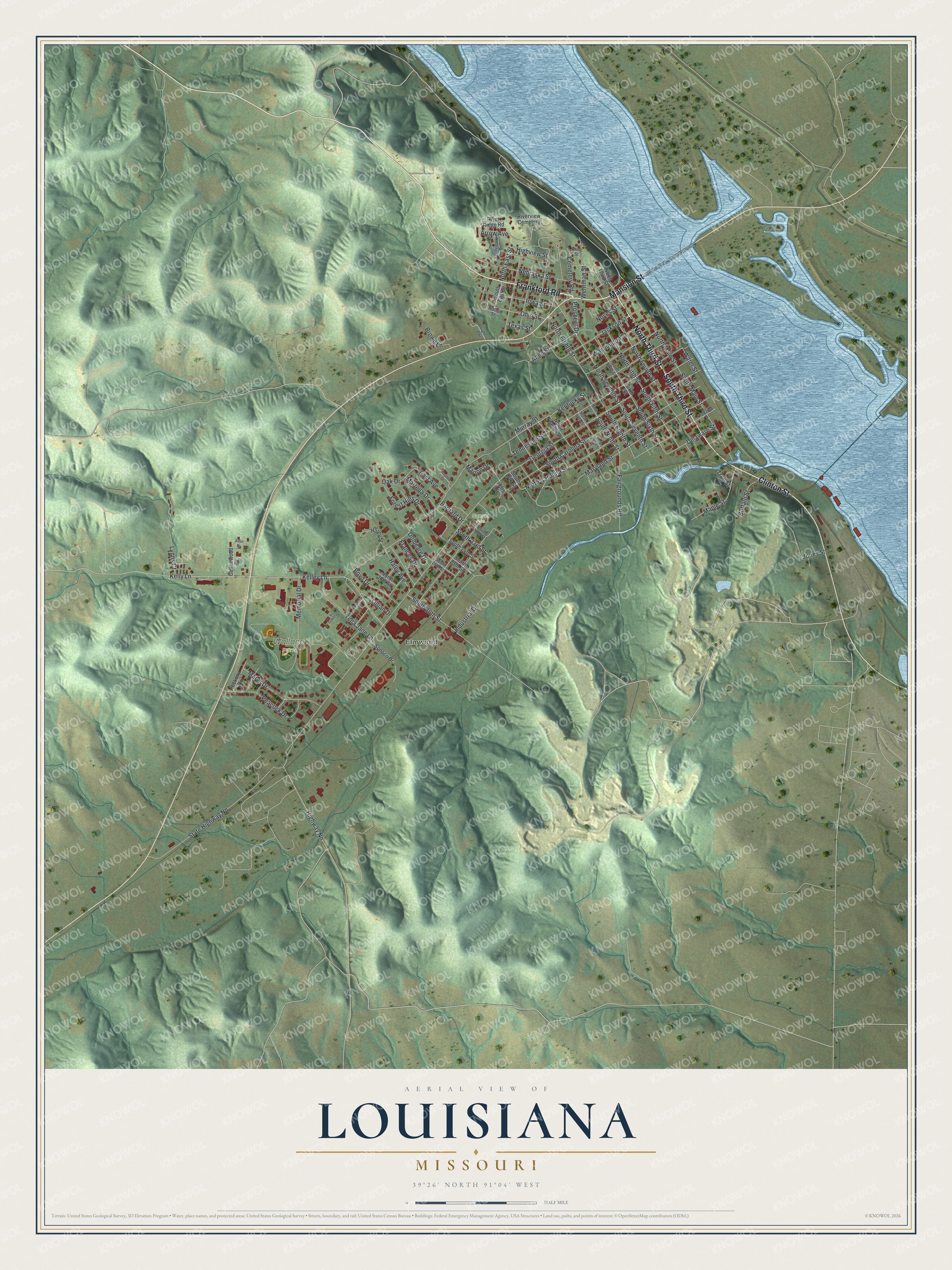
Created by KNOWOL in 2026, this Louisiana map suits an office, a den or a front room. The hills are shaded from USGS elevation data, and the buildings are marked in deep red. The title panel reads "Aerial View of Louisiana, Missouri," with the coordinates 39°26' North, 91°04' West and a half-mile scale bar.
It's a thoughtful gift for someone who grew up near Wallace Park, borrowed books at the Louisiana Public Library, or moved away from Pike County. Open the preview and follow Georgia Street to a block you know. See sizes and frames for the Louisiana map.