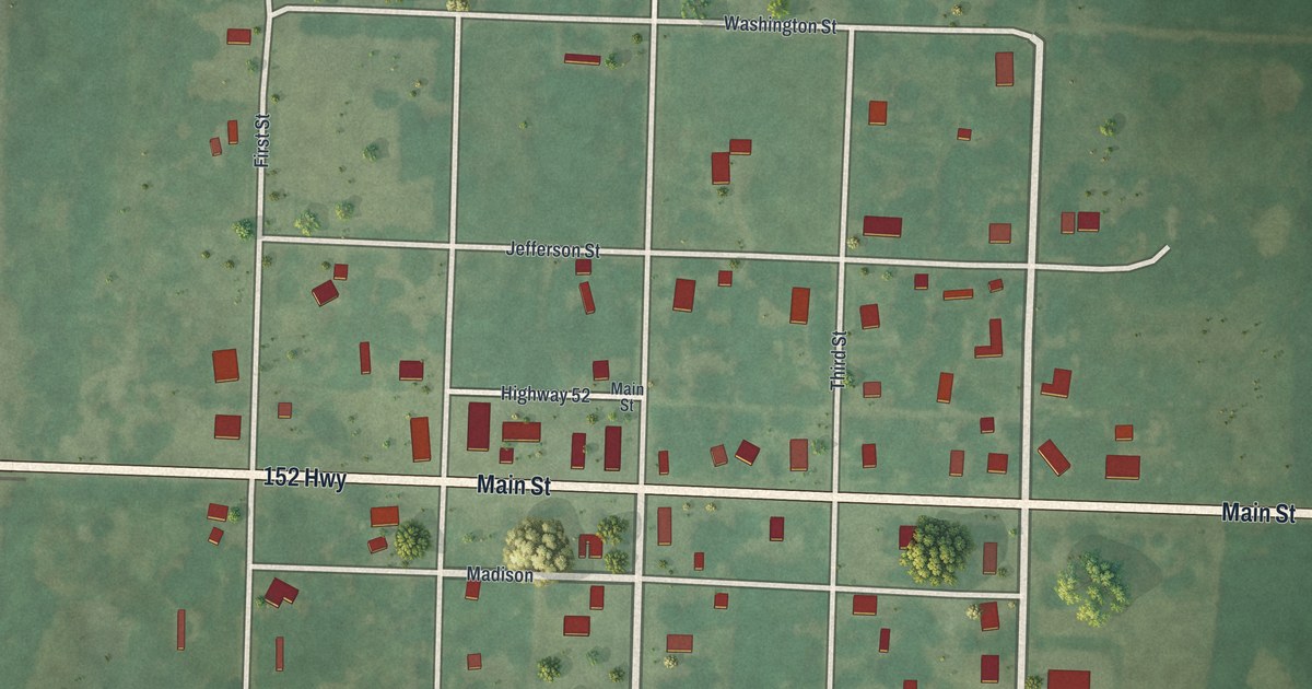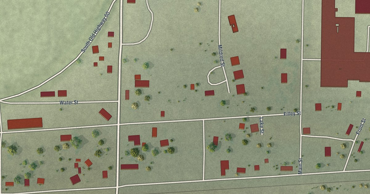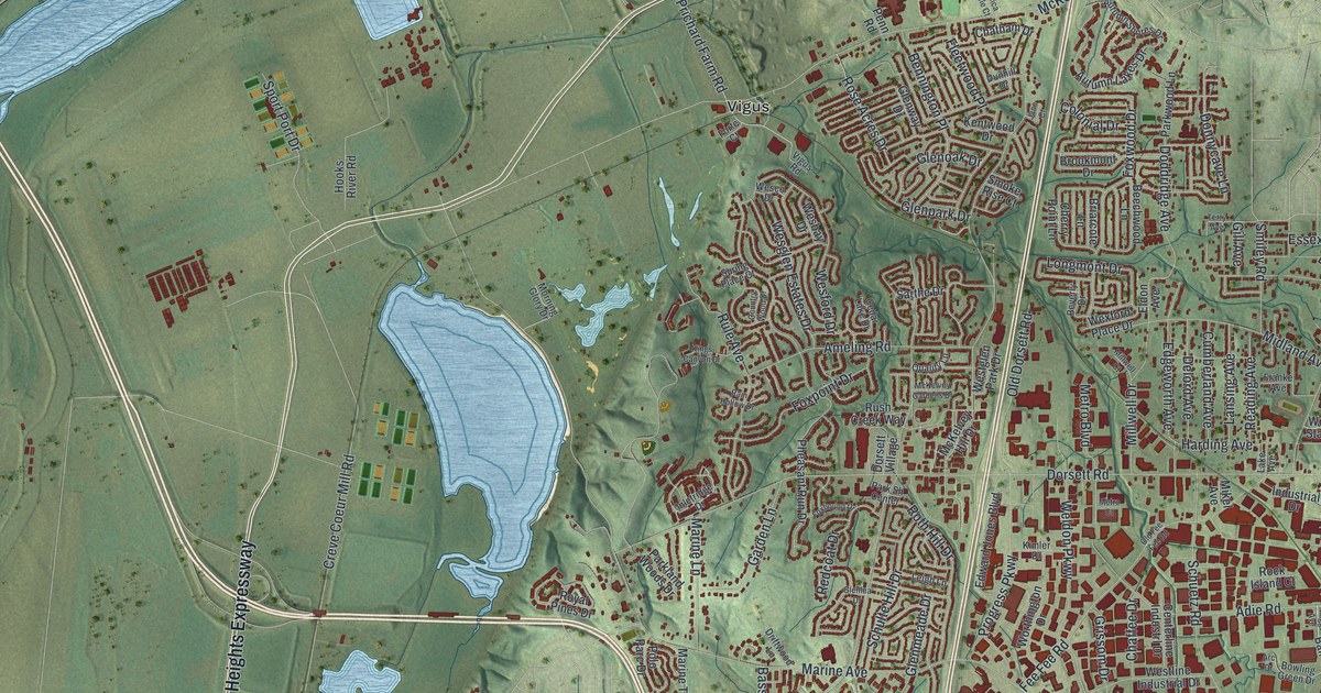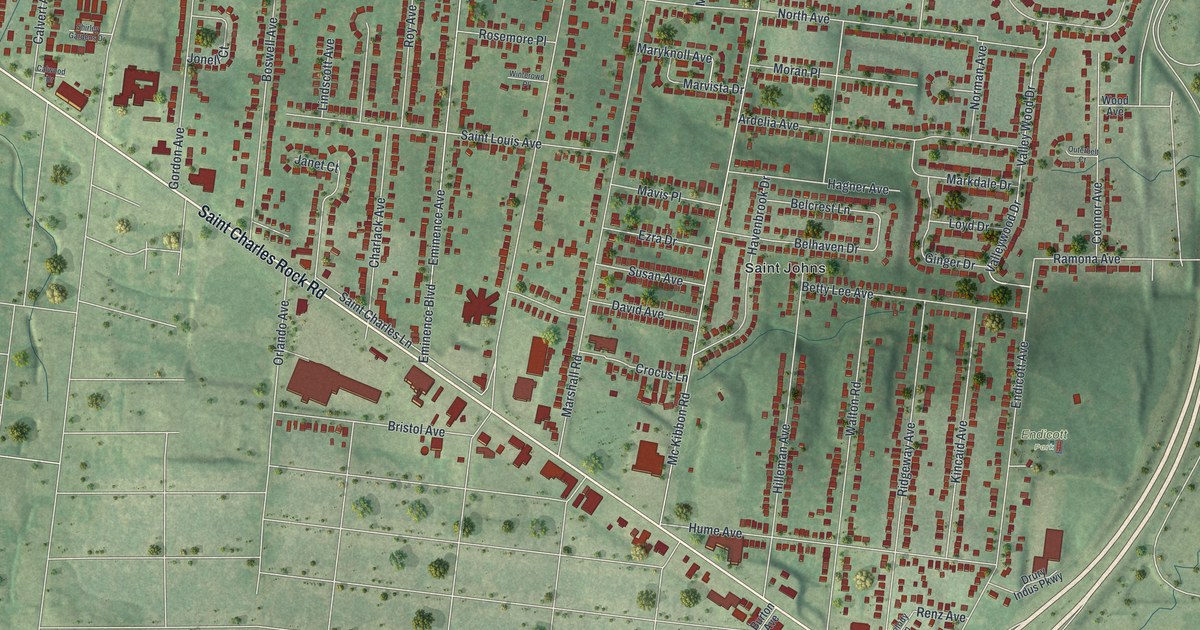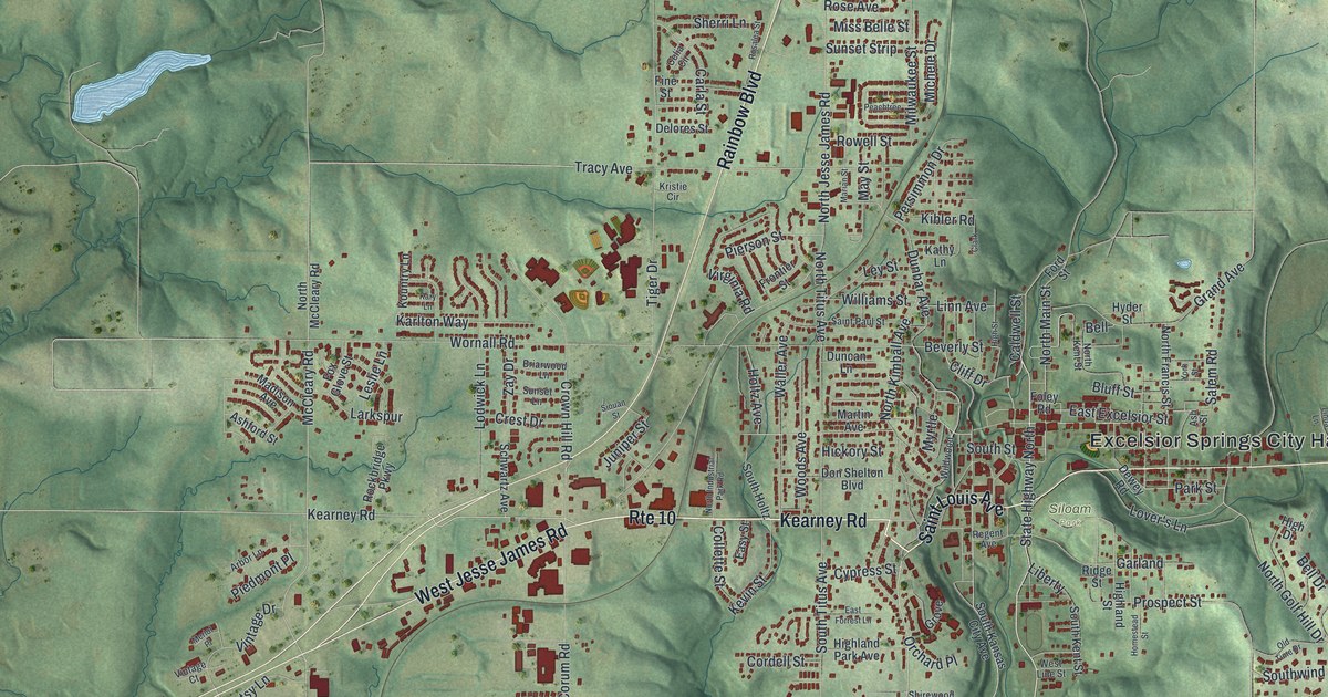
If you grew up in Excelsior Springs, or you still drive Isley Boulevard past City Hall, this map gives you a lot to find. It's a modern aerial view of Excelsior Springs in Clay County, Missouri, made from modern data and given a vintage look. Green shaded hills fold around the town, and more than 5,500 buildings are marked in deep red. Small blue lakes sit out in the hills to the northeast and northwest. Downtown sits just right of the middle, with neighborhoods spreading out along the roads in every direction.
From City Hall to Golf Hill and Crescent Lake
Start at Excelsior Springs City Hall, printed in large letters just right of the middle of the sheet. Isley Boulevard runs east from there. Stay on it and it turns into Old 10 Highway near the right side. Just south of Isley, Golf Hill sits up on the rise. The Excelsior Springs Golf Course spreads out below it, with Fredericksburg Road running along its lower edge. Farther east, Doniphan Lake Road heads south through the hills.
Now go back to City Hall and take Saint Louis Avenue south. It passes Siloam Park and winds down to Crescent Lake, where Lake Maurer Road runs by a small blue pond. To head west, pick up Kearney Road, which carries a Rte 10 label through the middle of town. West Jesse James Road splits off to the southwest. Up north, Rainbow Boulevard climbs past Tracy Avenue to Plummers Road and Meadowlark Lane. Many roads are labeled, and each red shape is a building, so zoom in on the preview and look for yours.
Why the post office was first called Yiginti
The town's post office didn't always go by that name. According to an 1885 county history, the post office opened in March 1881. For about two years it was called Yiginti instead. The same book says an old Mormon settler was the first to work the land here, about 40 years before it was written. The spring of 1881 brought trouble, too. A hack, a kind of hired coach, ran between Vibbard on the Wabash Railroad and Excelsior Springs. It was robbed three miles east of town by a band thought to be tied to the James gang. You can see that direction on the map: start at City Hall and follow Isley Boulevard east toward Old 10 Highway. Downtown, close to City Hall, the Hall of Waters was listed on the National Register in 1983. The Elms Hotel was added in 1985.
For anyone who knows Isley Boulevard and Golf Hill
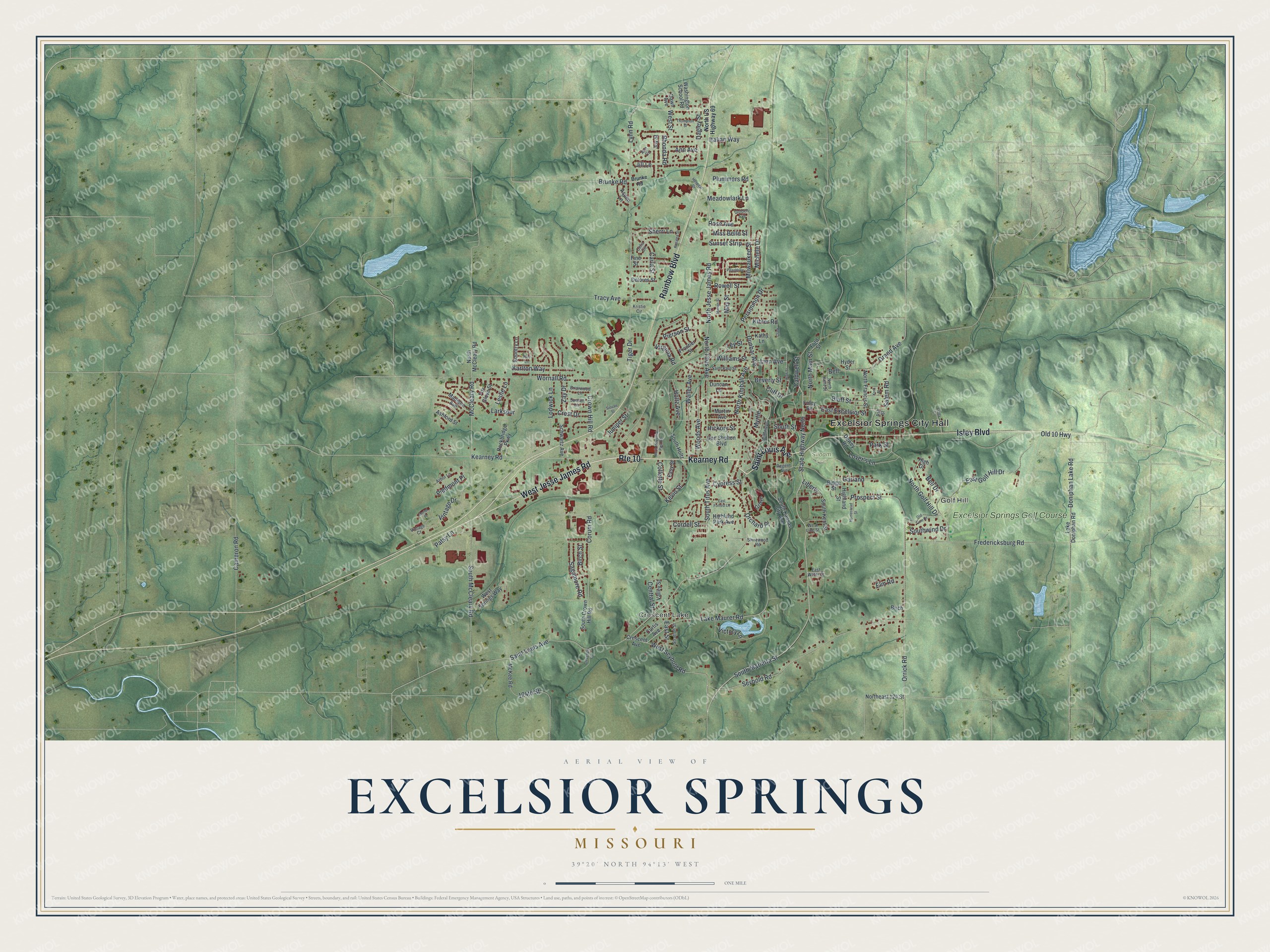
Created by KNOWOL in 2026, this map of Excelsior Springs shows the town's steep hills in soft green shading built from USGS elevation data. The creek valleys cut deep lines through the land around downtown. The title panel reads "Aerial View of Excelsior Springs, Missouri" with the coordinates 39°20' North, 94°13' West and a one-mile scale bar.
It fits a kitchen, a den or an office wall. It's a thoughtful gift for someone who grew up here and moved away, or who played a round at the Excelsior Springs Golf Course on Golf Hill. Open the preview, start at City Hall and trace a road you know. See sizes and frames for the Excelsior Springs map.