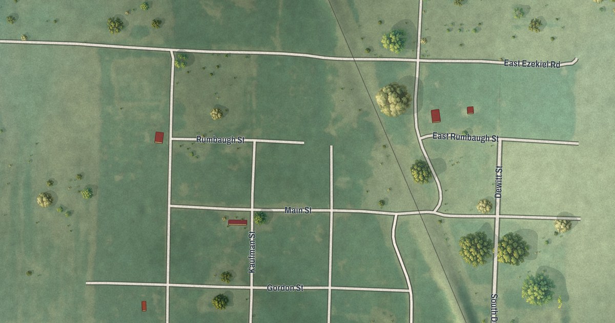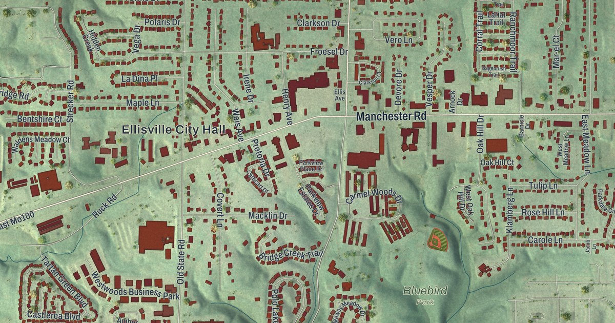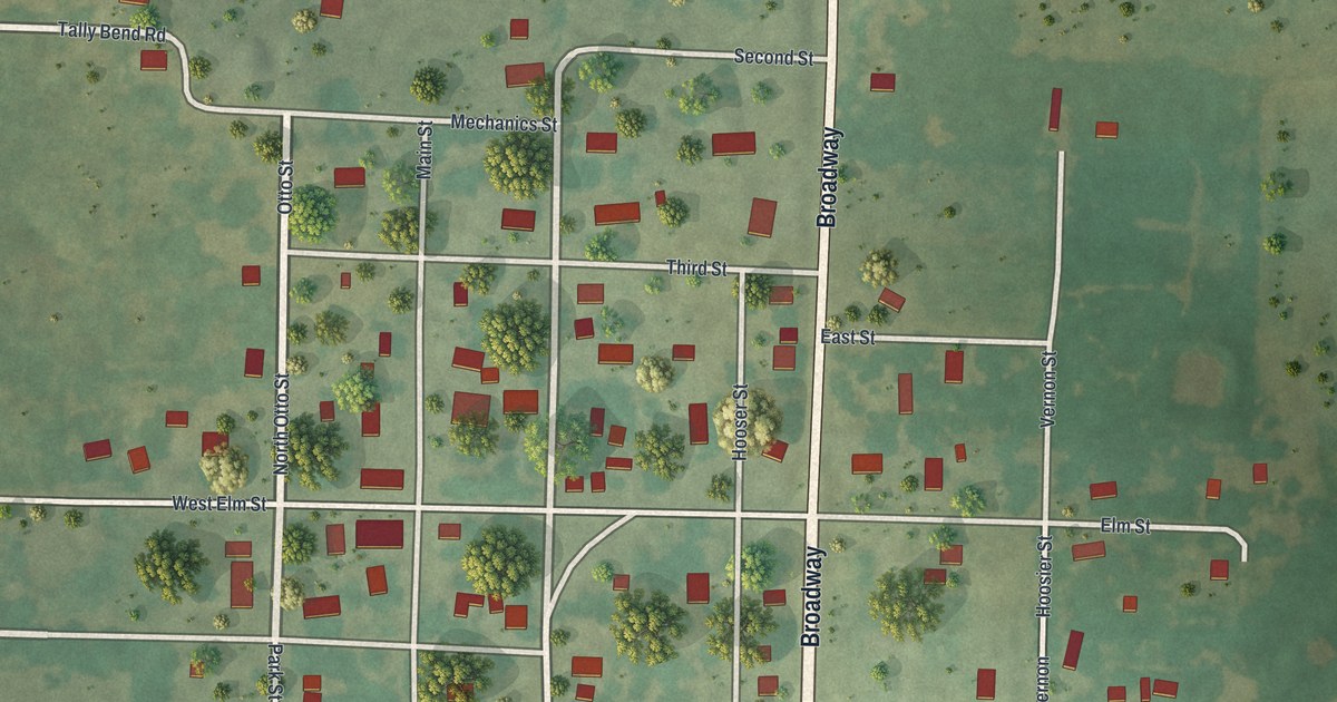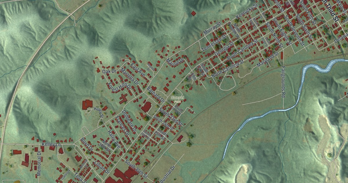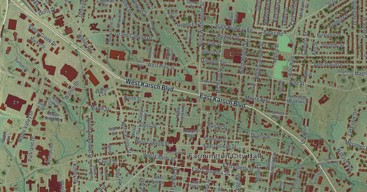
If you grew up in Farmington, or you still have family near Karsch Boulevard or Columbia Street, this map is for you. It's a modern aerial view of Farmington, built from current data with a vintage look, in St. Francois County, Missouri. The town sits in soft green hills, with thousands of small red buildings packed around Farmington City Hall. Thin blue creeks run through the hills.
Streets of Farmington, from Karsch Boulevard to Columbia Street
On this map you'll find West Karsch Boulevard, East Karsch Boulevard, West Columbia Street, East Columbia Street, North Washington Street, South Washington Street, Sainte Genevieve Avenue, Potosi Street, West Liberty Street, North Franklin Street, Maple Valley Drive, Farmington City Hall, Crown Pointe Golf Club, De Lassus, and more. Each red shape is a building, so zoom in on the preview and look for yours.
How Farmington was laid out in 1822
Farmington's story as a town goes back to 1822. That year, Henry Poston laid out the town. The land was given by a man named David Murphy. The State Historical Society of Missouri keeps this account in its old file of Missouri place names. Farmington City Hall is printed near the middle of the sheet. Two printed streets, Murphy Avenue and Murphys Way, carry the same last name as the man who gave the land.
National Register places near West Columbia Street
Some of Farmington's older places are on the National Register of Historic Places. One is the St. Francois County Jail and Sheriff's Residence at 11 North Franklin Street. The James Robinson McCormick House is at 324 West Columbia Street. The East Columbia Historic District takes in 202 East Columbia Street. The Farmington State Hospital No. 4 Cemetery is listed too. It sits on the east side of Pullan Road, south of Doubet Road.
A Farmington map, from Columbia Street to Crown Pointe
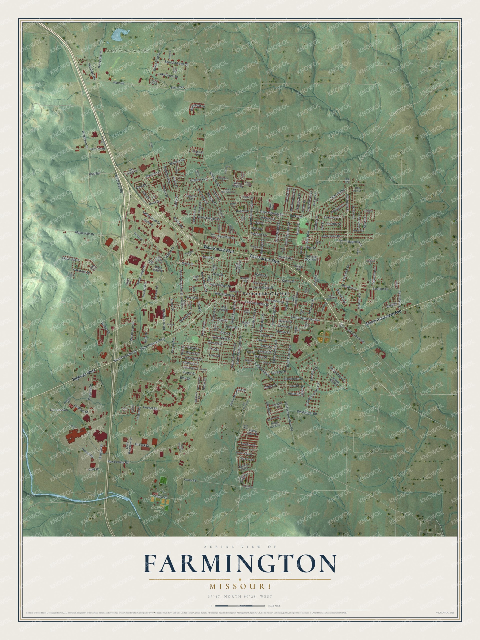
Created by KNOWOL in 2026, this print shows Farmington in muted greens, with shaded hills, thin blue creeks and buildings in deep red. The title panel reads "Aerial View of Farmington, Missouri" with the coordinates 37°47' North 90°25' West.
It looks good in a living room, a hallway or a home office. It also makes a thoughtful gift for someone who grew up off West Columbia Street and moved away. Open the preview and find the streets you know. See sizes and frames for the Farmington map.