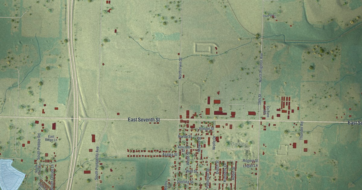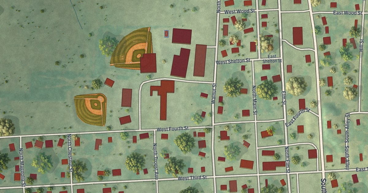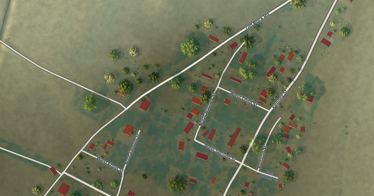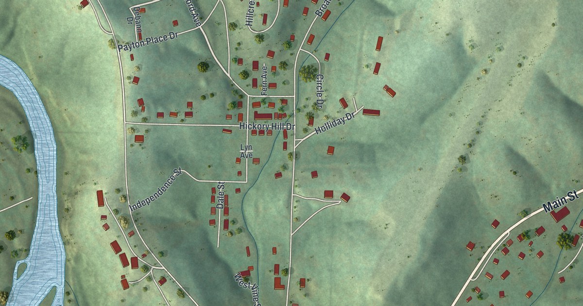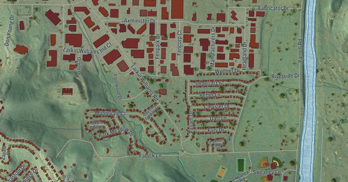
If you grew up in Fenton, look for your old street on this print. It's a modern aerial view made with modern data and a vintage feel, showing Fenton in St. Louis County, Missouri. Red buildings line the streets, green hills rise around them, and a blue river curves through the view.
Fenton City Hall and familiar streets
On this map you'll find Gravois Road, Smizer Mill Road, Main Street, Fenton City Hall, Fenton City Park, George Winter Park, Bowles Avenue, Larkin Williams Road, Center Street, Water Street, Fenton Plaza, and more. Each red shape is a building, so zoom in on the preview and look for yours.
Fenton got its name from a family. The historic Ramsay Place Names File says it was named for a member of the Fenton family. That's all the record says. On the print, the town's name is set large in the title panel, and Fenton City Hall and Fenton Plaza are both labeled.
A Fenton map for home
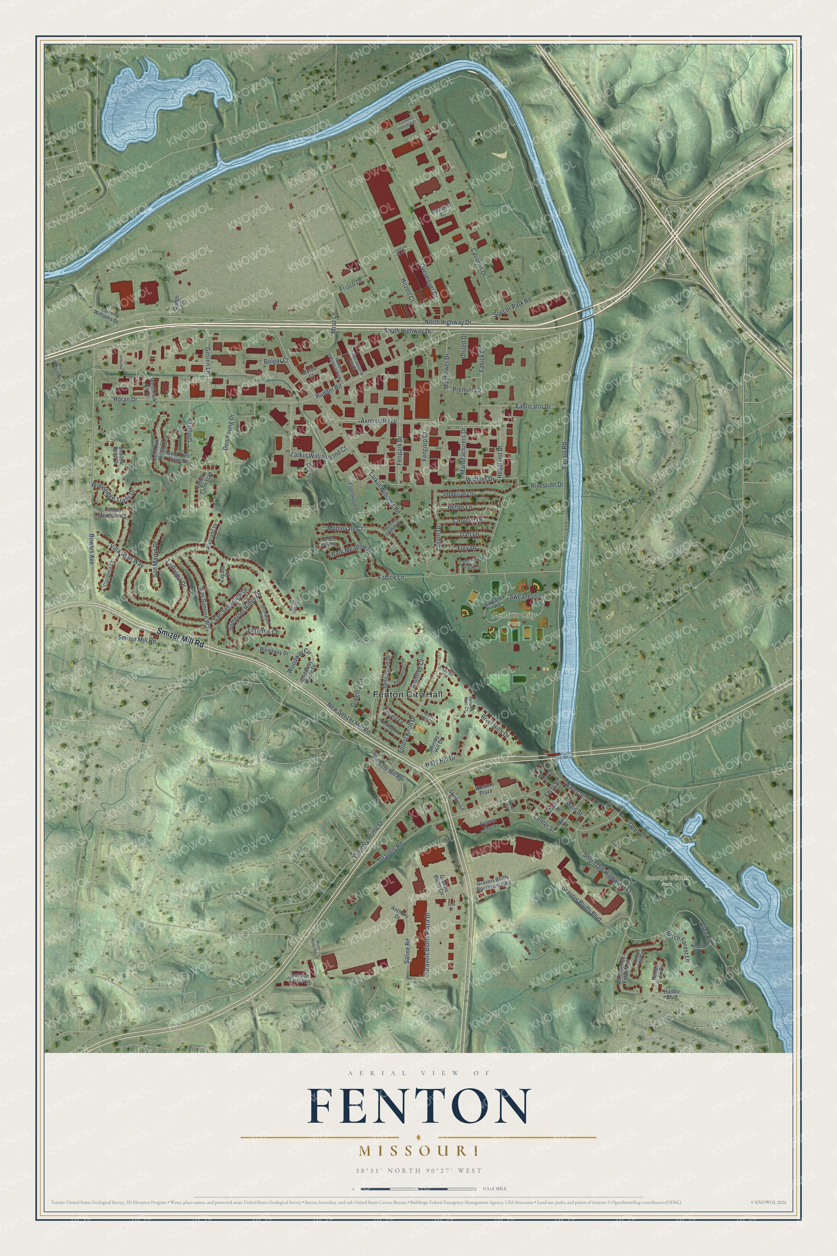
Created by KNOWOL in 2026, this print pairs green shaded hills with blue water and red buildings. A cream border surrounds the view. The title panel reads AERIAL VIEW OF FENTON, MISSOURI, with 38°31' NORTH 90°27' WEST below.
Hang it in a living room, office, or entryway to keep home close. It's a thoughtful gift for someone who spent time at Fenton City Park or moved away from town. Open the preview and look for the streets you remember. See sizes and frames for the Fenton map.