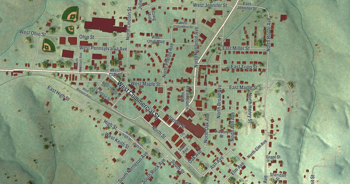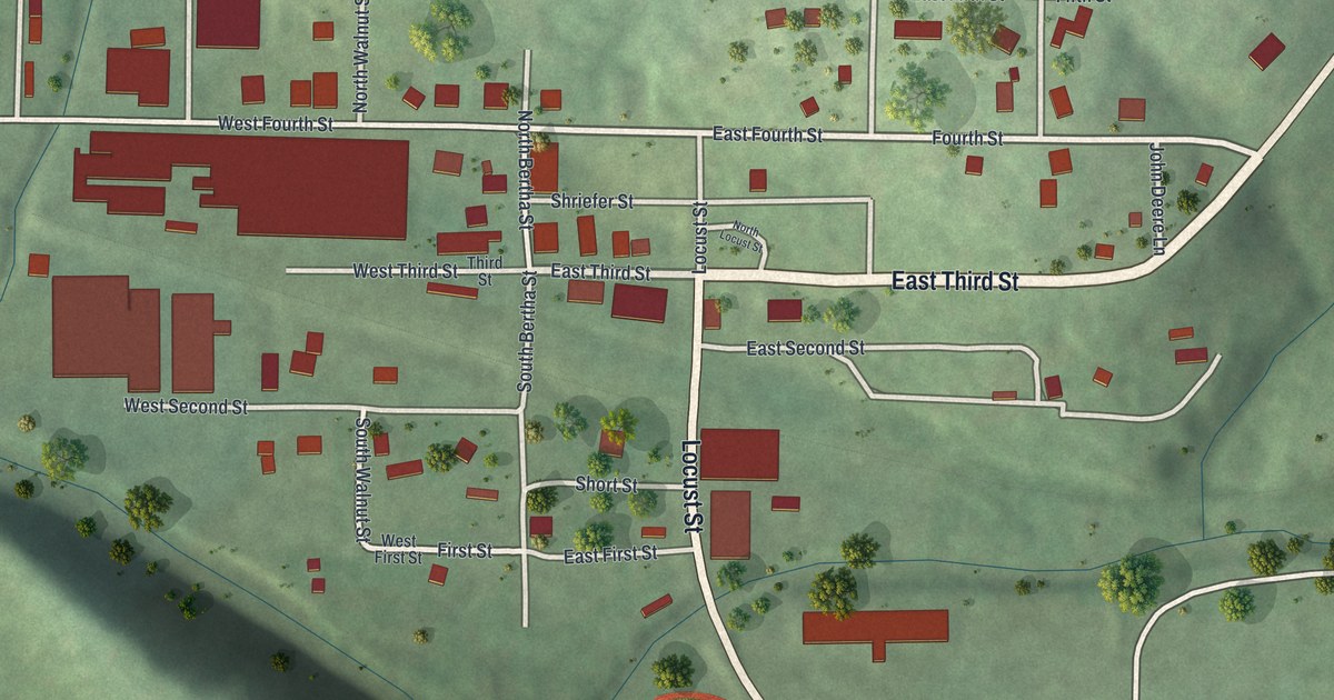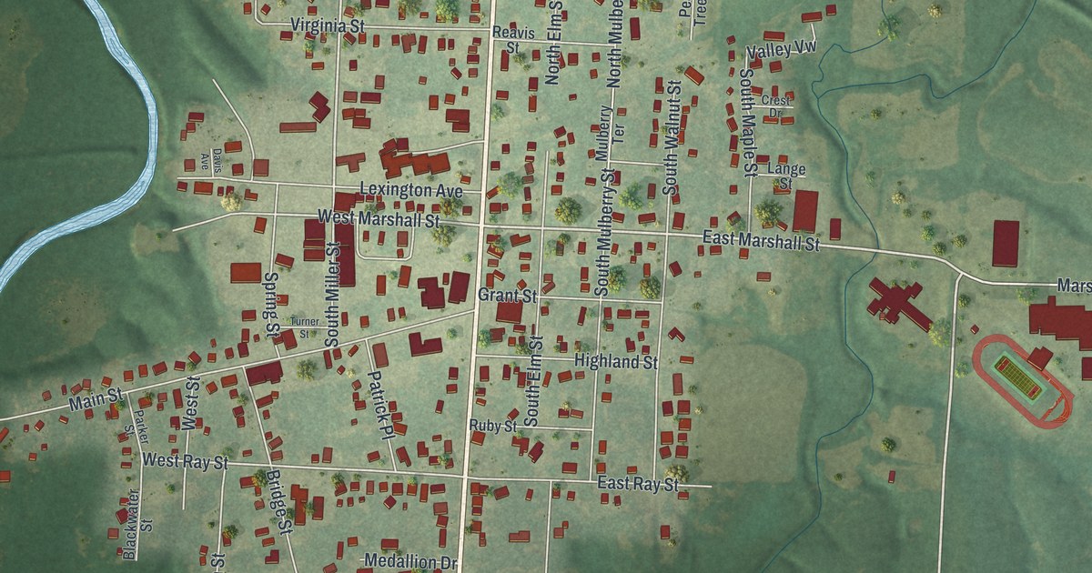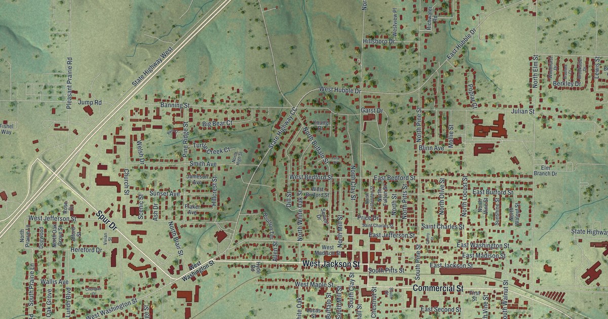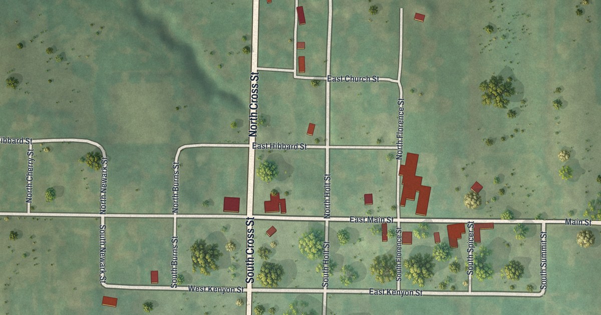
If you grew up in Fillmore, or you still have family in town or on the land around it, this map puts the whole place on one sheet. It's a modern aerial view of Fillmore in Andrew County, Missouri, built from modern data and finished with a vintage feel. Cross Street runs from the top of the print to the bottom, and Main Street runs straight across it. The town's red buildings gather near that crossing. Green hills and wide fields fill the rest of the sheet, and small creeks wind through the low ground up north.
Cross Street, East Main Street and the Kenyon Streets in Fillmore
Start where Main Street meets Cross Street, right in the middle of the map. North Cross Street heads up the sheet, and South Cross Street heads down. Now turn east on East Main Street. The biggest group of red buildings sits near North Florence Street. Keep going past South Spicer Street and South Summit Street. After that, the road runs on as Main Street all the way to the right edge.
Go back to the crossing and head north on North Cross Street. East Hibbard Street turns right. Farther east, East Church Street meets North Burns Street. Head south instead, and you'll pass West Kenyon and East Kenyon Streets, then Hanner Street and East Hershaw Street. On the west side, West Main Street runs out past North Newark Street. West Hibbard Street makes a loop above it. Every red shape is a building, and lots of the roads carry names. Zoom in on the preview and find your house.
Fillmore's first hotel at Main and Cross Streets
An 1888 history of Andrew County says Levi Churchill was the first settler on the site of Fillmore. Some of the earliest neighbors were Thomas Chambers, Andrew Chambers, Richard Dunn, James Dunn and Thomas Smither. The same book names the town's first hotel. Jefferson Griffith kept it. It stood on the corner of Main and Cross Streets, just south of James League's store building.
You can still find Main and Cross Streets on the print, with red building marks around the crossing.
For someone who knows the corner of Main and Cross in Fillmore
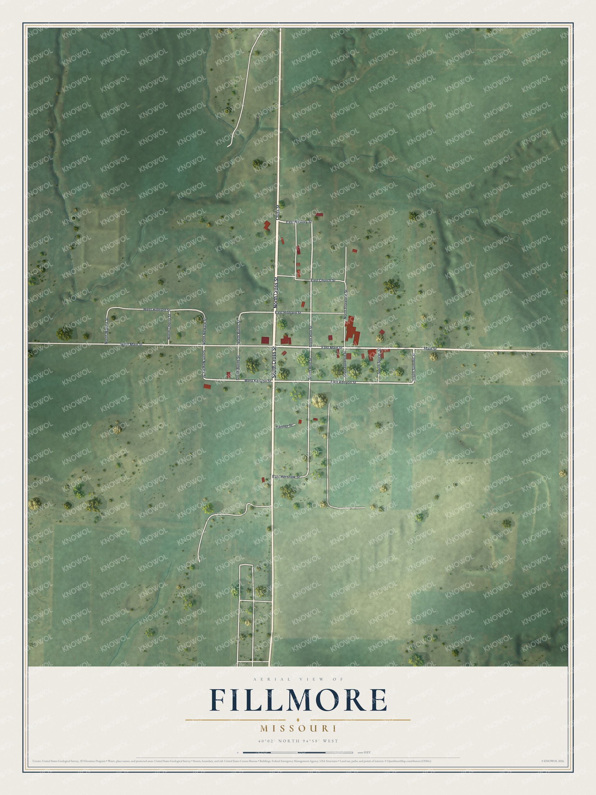
Created by KNOWOL in 2026, this Fillmore map shows soft green hills shaded from USGS elevation data, thin winding creeks, and buildings marked in deep red. The title panel reads "Aerial View of Fillmore, Missouri" with the coordinates 40°02' North, 94°58' West and a scale bar.
Hang it in a kitchen, a front room or an office. It's a good gift for someone who grew up near the corner of Main and Cross Streets, or for a friend who left Andrew County and still calls Fillmore home. Open the preview, zoom in and follow Cross Street to the house you know. See sizes and frames for the Fillmore map.