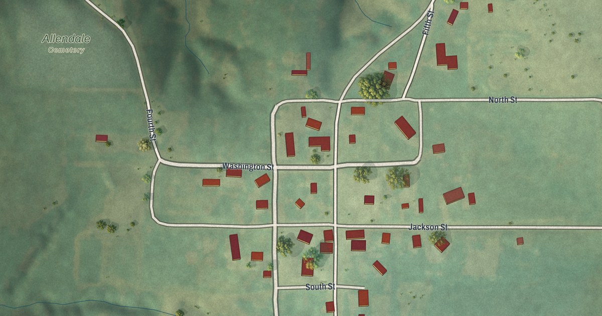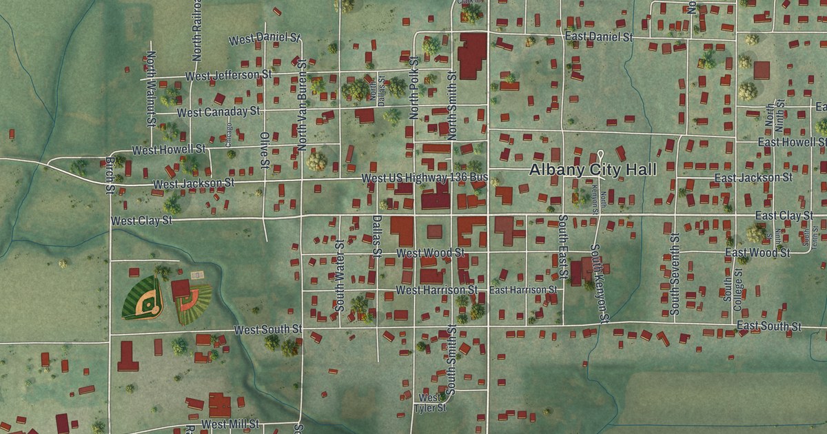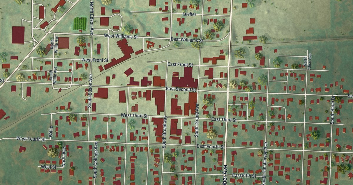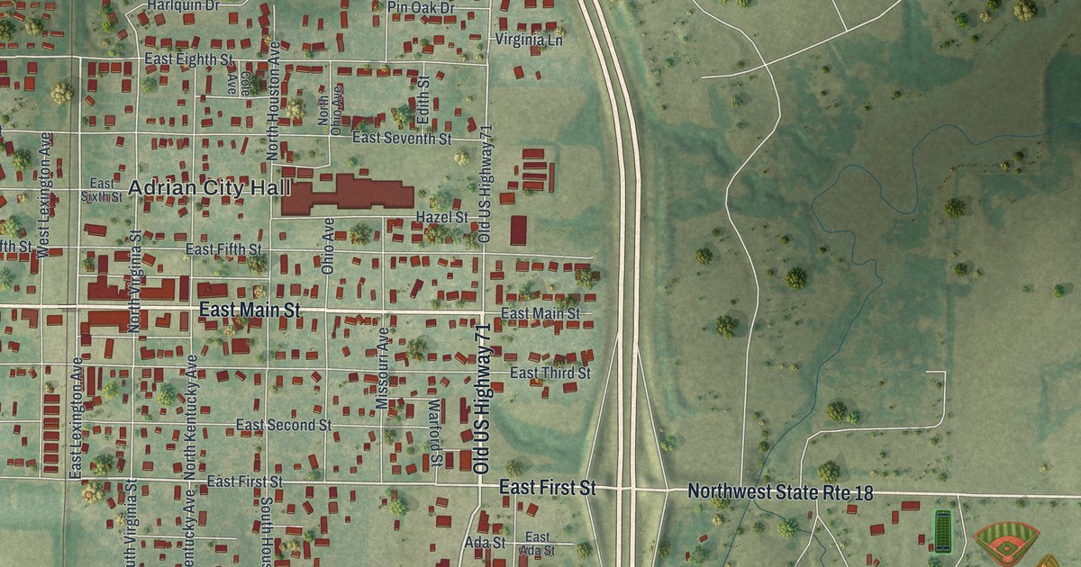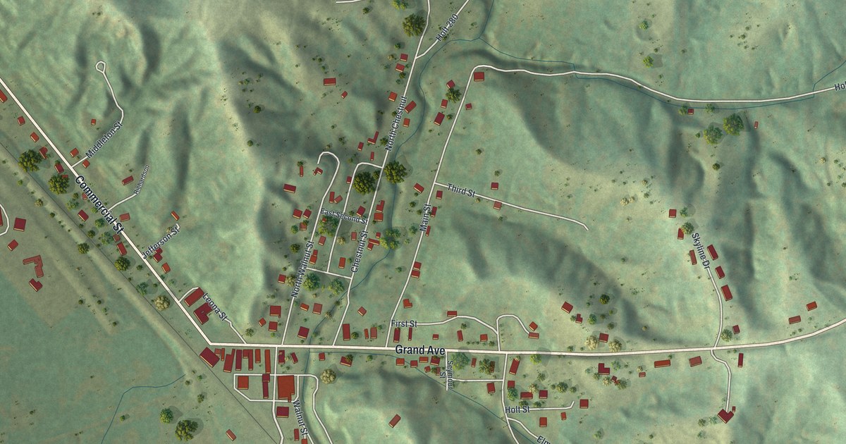
If you grew up in Forest City, went to school here, or still have family along Grand Avenue or Commercial Street, this map puts the whole town on one sheet. It's a modern aerial view of Forest City in Holt County, Missouri, made from modern data and given a vintage artistic feel. The town sits right where steep green hills meet a wide, flat valley floor. Commercial Street runs along the foot of those hills, and Grand Avenue heads east into them. There are 231 buildings marked in red, and a rail line runs across the flat ground.
Commercial Street, Grand Avenue and Forest City Cemetery
Start where Grand Avenue meets Commercial Street. The downtown blocks sit right at that corner. Follow Commercial Street northwest along the foot of the hills. Jefferson Street and Middleton Street branch off it on the way. Near the top left, you'll reach Collins Street, and Holt 290 crosses the flat land out there. Now go back to Grand Avenue and head east. Just north of Grand Avenue, you'll find Chestnut, Leona and Seymour Streets. Main Street heads north into the hills. Holt 280 is printed farther up the sheet.
South of Grand Avenue, look for Walnut Street, Holt Street and Elm. Farther east, Skyline Drive crosses Grand Avenue and winds into the hills. North of that, Holt 290 runs east through a long valley. Forest City Cemetery is named on the hill beside it, near the right edge. Down in the lower left, Holt 295 and Mayapple Road cross the flat farm ground. Many of the roads are labeled, and each red shape is a building, so zoom in on the preview and look for yours.
The first hotel near Commercial Street in Forest City
Forest City's early days show up in an 1882 history of Holt and Atchison Counties. The book says the first school in Forest City met in the winter of 1857-58, in a small frame building. The first hotel was a two-story frame house near the north end of Commercial Street. Follow the printed Commercial Street up toward the top left corner to find that end of town. The same book tells of a Methodist meeting in the summer of 1844. It was held up a hollow that led from the old mill in the north part of Forest City. The book calls it one of the earliest, if not the first, of its kind. Main Street and Holt 280 are printed farther north in the hills. Today the town's City Hall is on the National Register of Historic Places. It was listed in 1979.
For anyone who knows Grand Avenue and Commercial Street
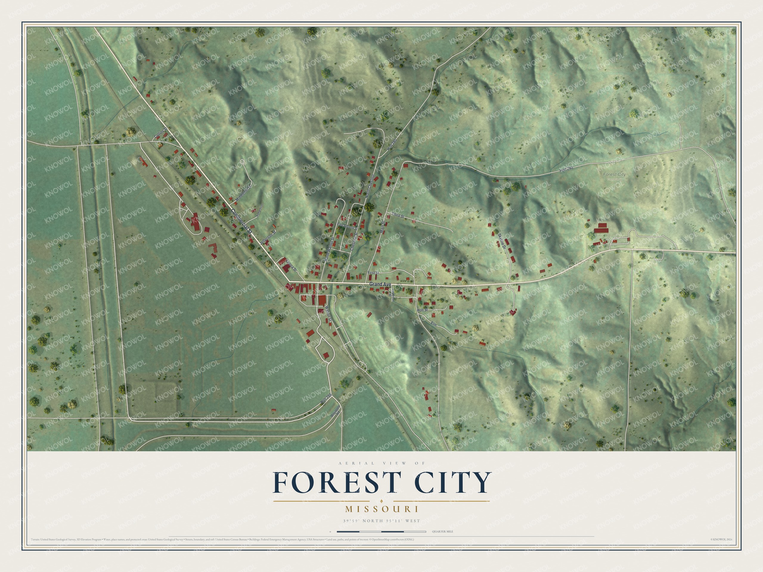
Created by KNOWOL in 2026, this Forest City map shows shaded green hills, pale roads and red buildings, with a cream margin and thin navy border lines. The hill shading comes from USGS elevation data. The title panel reads "Aerial View of Forest City, Missouri" with the coordinates 39°59' North, 95°11' West and a quarter-mile scale bar.
It suits a kitchen, a front room or an office. It's a thoughtful gift for someone who grew up near Grand Avenue and moved away, or for family who still visit Forest City Cemetery. Open the preview, zoom in and find the block you know. See sizes and frames for the Forest City map.