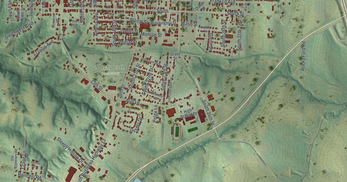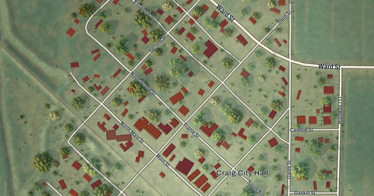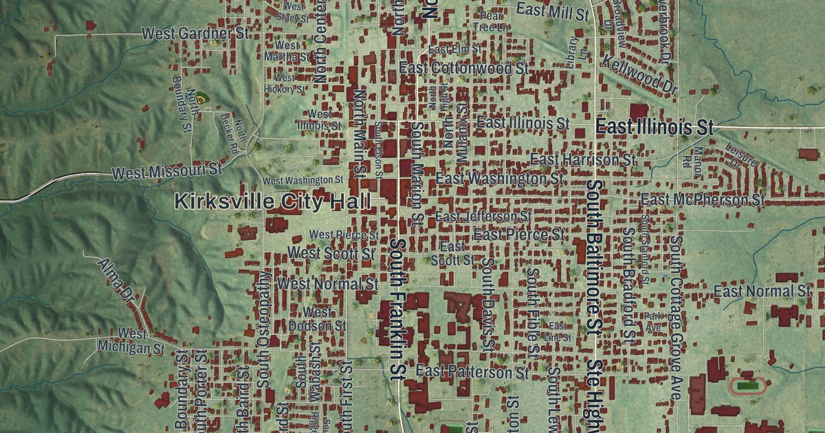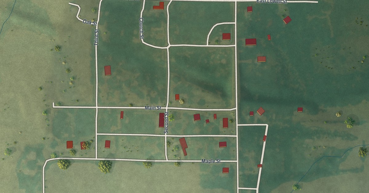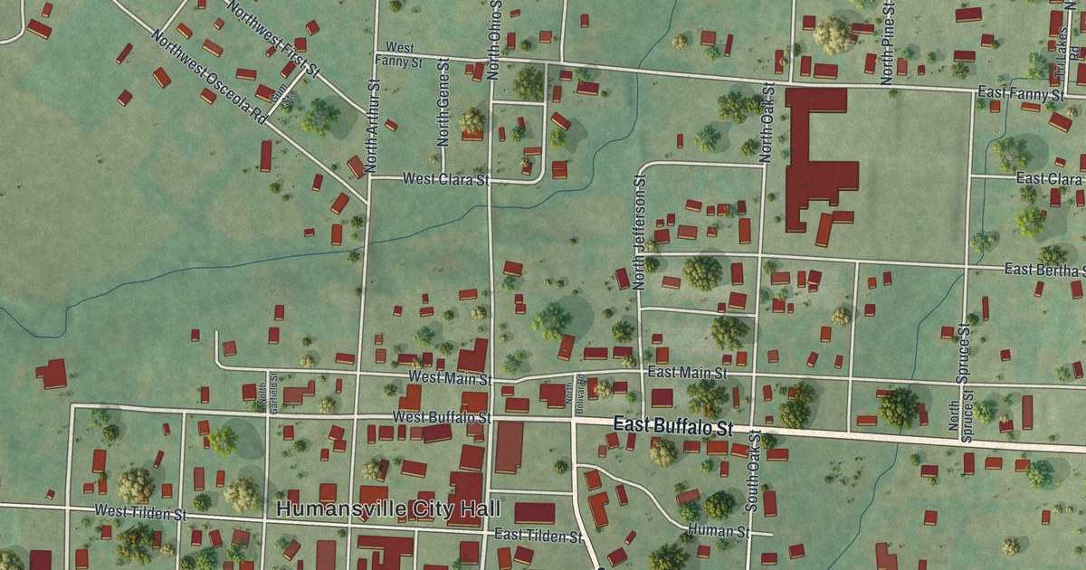
If you grew up in Humansville or still have family near East Buffalo Street, this map puts the whole town and the hills around it on one sheet. It's a modern aerial view of Humansville, a small city in Polk County, Missouri, made from modern data with a vintage artistic feel. More than 500 buildings are marked in red, packed into a grid of streets around City Hall. Past the edge of town, white roads run out across green fields dotted with trees. Thin blue creeks wind through the low ground.
Humansville City Hall, East Buffalo Street and South Bolivar Road
Start at Humansville City Hall, printed near the middle of the sheet. Just above it, East Buffalo Street heads east all the way to the right edge. West Main and East Main Streets run beside it on the north side. Now head south from City Hall. West Tilden, West English and West Fisher Streets cross the blocks in rows. West Mill and East Mill Streets sit along the bottom of town.
South Bolivar Road leaves downtown near City Hall and slants to the southeast. Follow it toward the bottom right corner, and you'll see Humansville Cemetery east of the road. At the right side of town, State Highway East runs north past East Bertha, East Clara and East Fanny Streets. To the west, State Highway North runs out past Church Street. North of downtown, West Fanny, West Clara and West Sixth Streets fill the blocks. A wide, straight road cuts across the lower left at a slant. Many roads are labeled, and each red shape is a building, so zoom in on the preview and look for yours.
Humansville in 1889: a rail stop, a school and a shared church
An 1889 Goodspeed county history lists Humansville as a station on the Clinton branch of the Gulf road. The other Polk County stops on that line were Dunnegan, Fair Play, Aldrich and Sharon. The same book says the town's school was a two-story building. The 1889 history called the school building inadequate. A big new brick school was one of their most cherished plans. The book also notes that a Methodist Episcopal class met for worship in the Baptist Church.
The George Dimmitt Memorial Hospital on South Bolivar Road
Another piece of Humansville history sits right off downtown. The George Dimmitt Memorial Hospital, at 102 South Bolivar Road, was added to the National Register of Historic Places in 2012. Dimmitt Road is labeled in the upper left corner of the map.
For someone who knows East Buffalo Street in Humansville
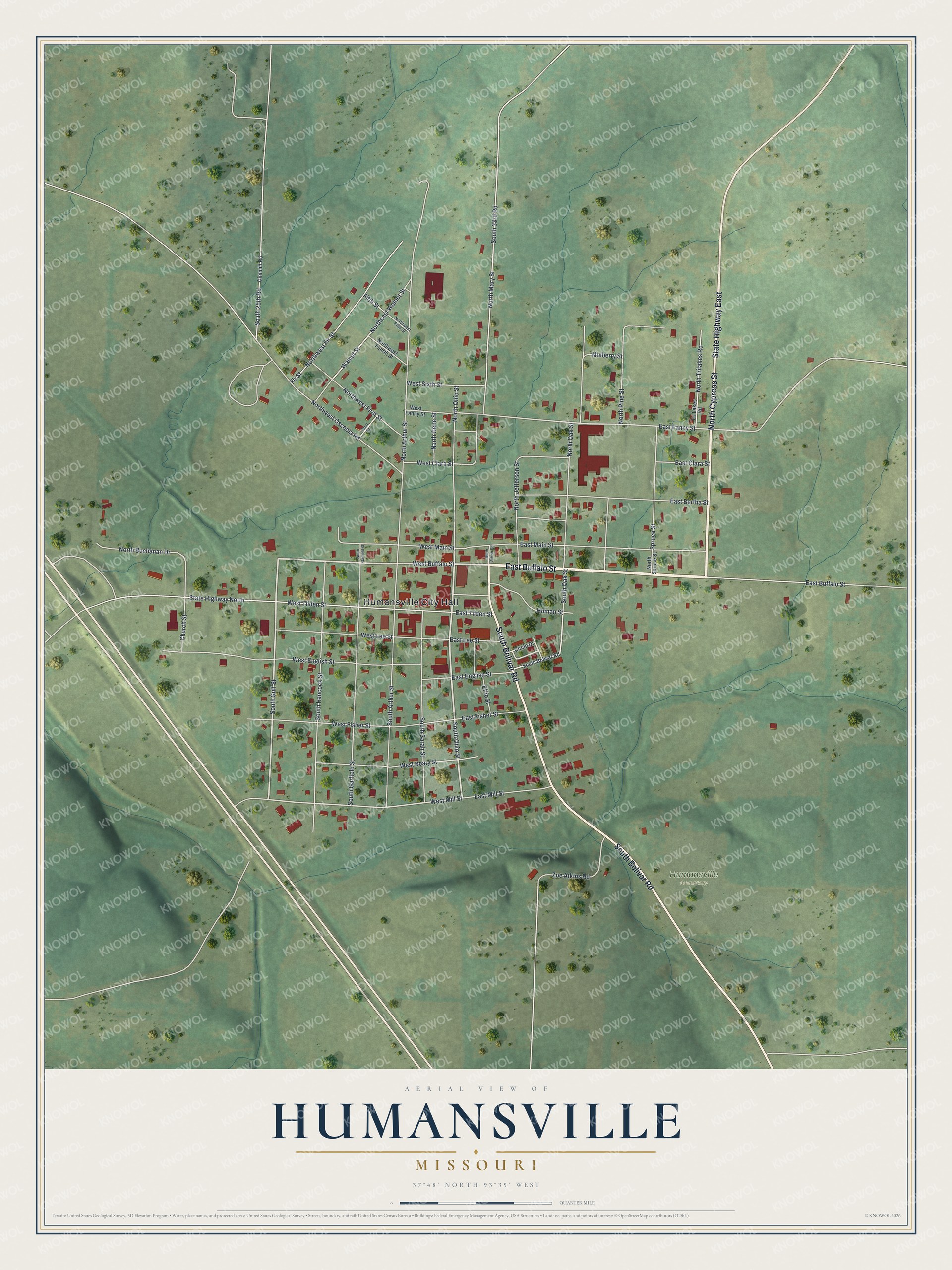
Created by KNOWOL in 2026, this map of Humansville shows the rolling land in shades of green. Roads are drawn in white, and each building is a small red shape. The title panel reads "Aerial View of Humansville, Missouri" with the coordinates 37°48' North, 93°35' West and a quarter-mile scale bar.
It suits a kitchen, a den or a front hall. It's a thoughtful gift for someone who grew up a few blocks from Humansville City Hall and moved away. Open the preview, zoom in and find the street you know. See sizes and frames for the Humansville map.