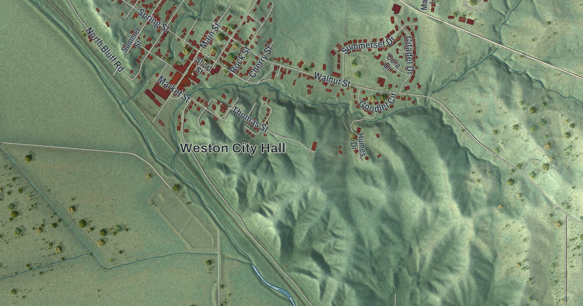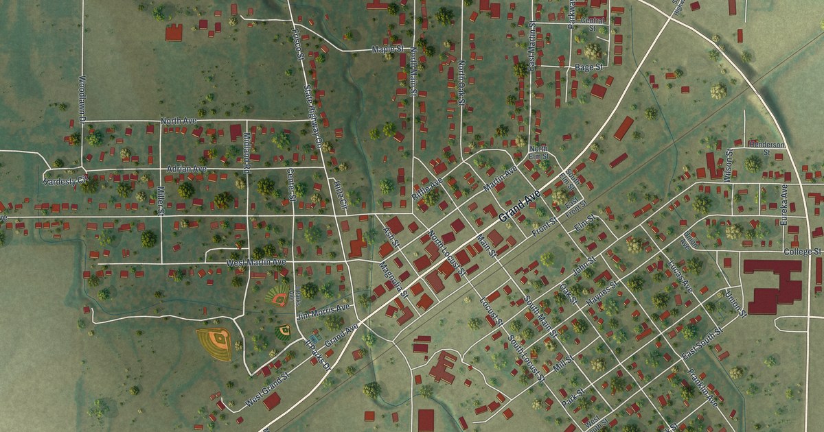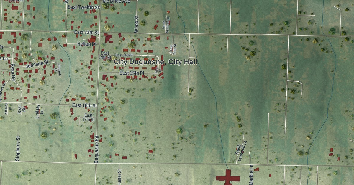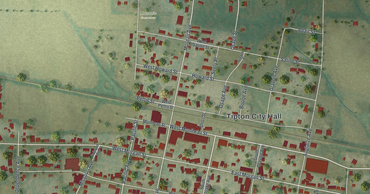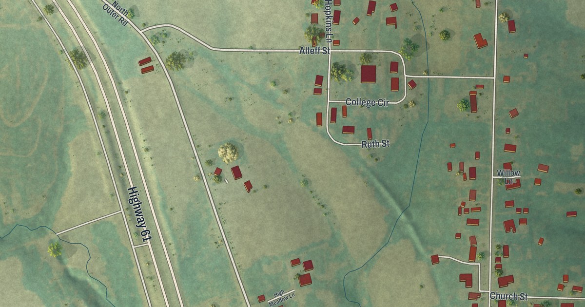
If you grew up in Eolia, look for your family's street here. This modern aerial view of Eolia in Pike County, Missouri pairs modern data with a vintage feel. Red buildings stand among green fields, with Highway 61 and the town's smaller streets in view.
Main Street and the roads of Eolia
On this map you'll find Highway 61, North Main Street, South Main Street, Church Street, Washington Street, Green Street, Elsom Street, East Elsom Street, Vo Tech Road, College Circle, Ruth Street, Alleff Street, and more. Each red shape is a building, so zoom in on the preview and look for yours.
The name in the map's title panel has a windy story. The State Historical Society of Missouri's place-name account credits surveyor Frank Meriwether with naming Eolia for Aeolus, the god of wind. According to that account, he said the survey day was one of the windiest he'd ever seen. That day's weather became part of the town's name.
Eolia's name on your wall
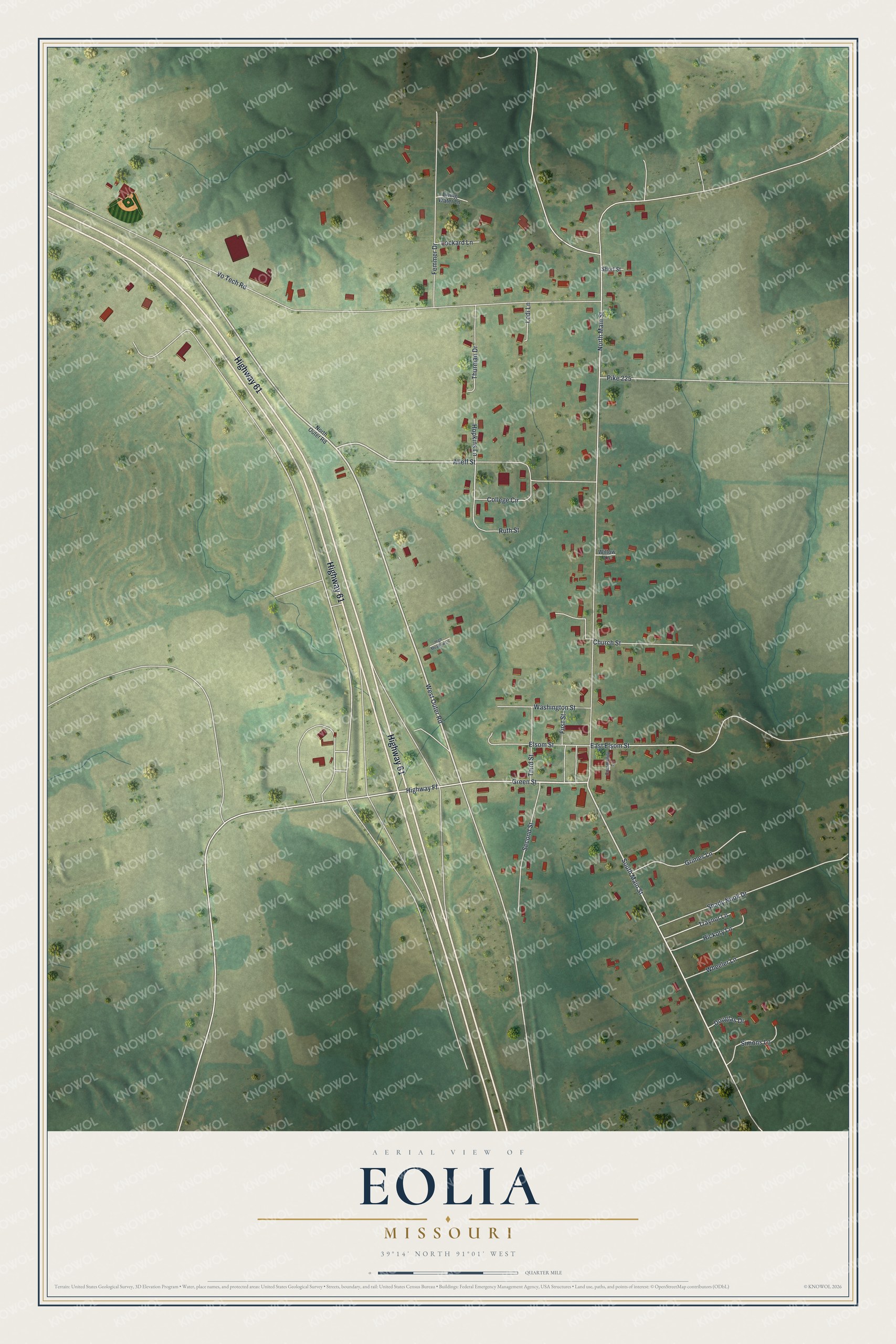
Created by KNOWOL in 2026, the print pairs soft green land with red buildings and pale roads. A cream border surrounds the view. The title panel reads AERIAL VIEW OF EOLIA, MISSOURI, with 39°14' NORTH 91°01' WEST below.
Hang it in a living room, home office, or entryway. It's a gift for someone who grew up near Church Street and now lives far from home. Open the preview to look for the streets you know. See sizes and frames for the Eolia map.