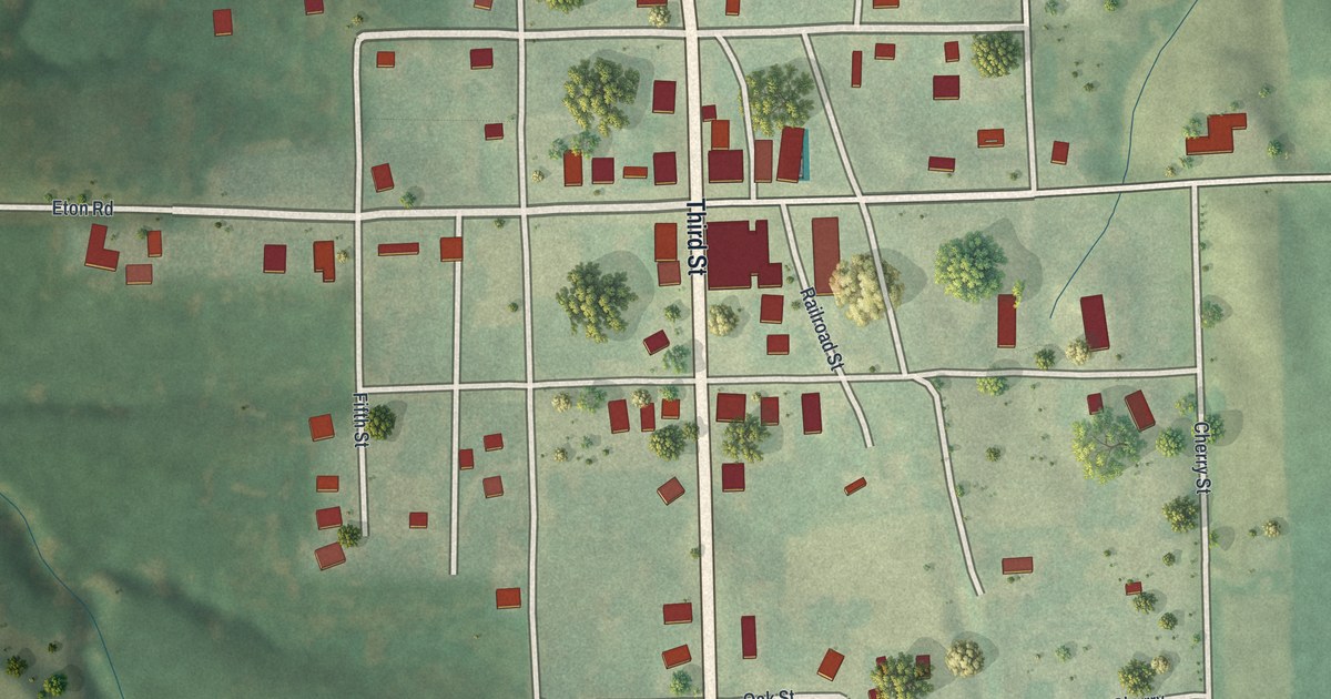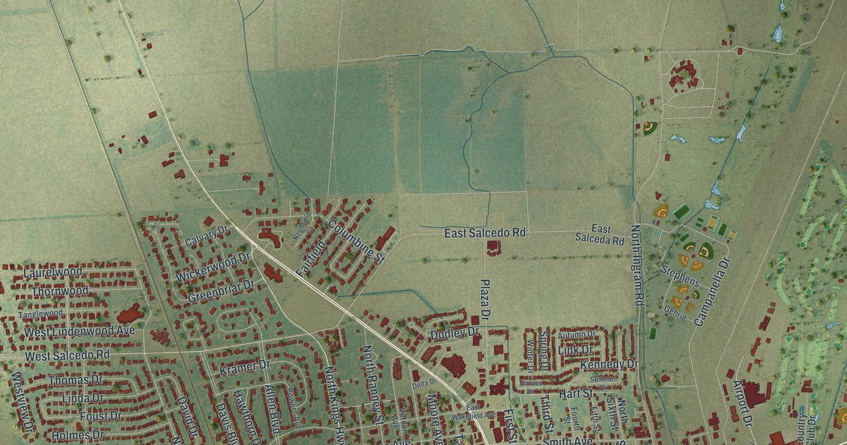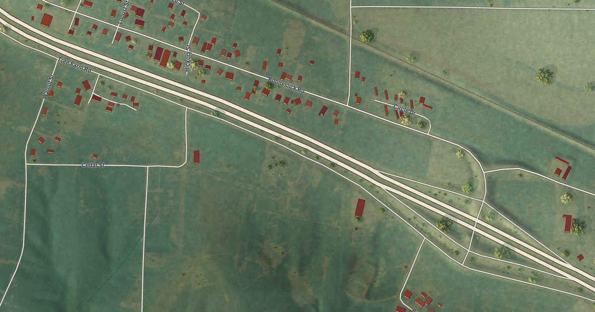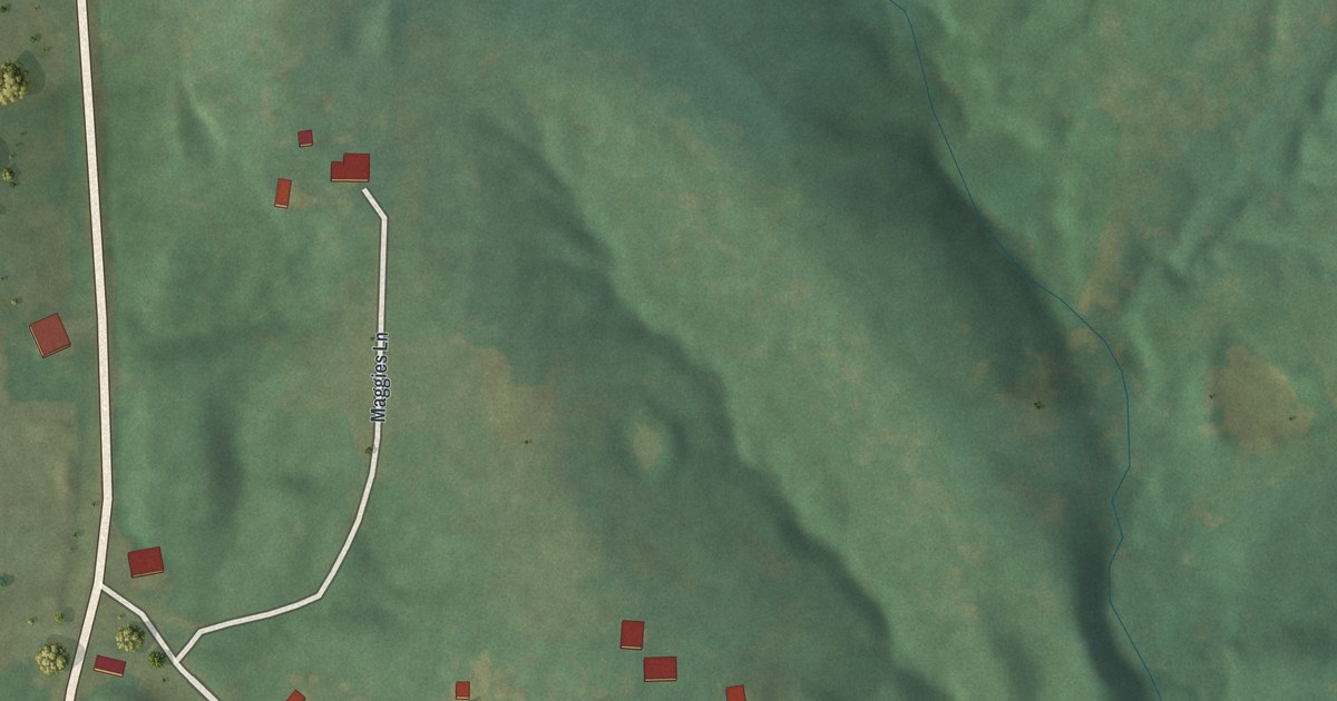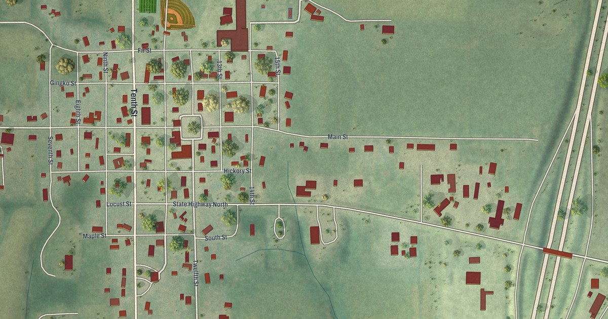
If you grew up in Eagleville or still have family near Main Street, this map is for you. It's a modern aerial view of Eagleville in Harrison County, Missouri, made from modern data and given a vintage feel. The town's grid of numbered streets sits in the middle of the sheet. A running track and ball field mark the north side of town. Green farm hills roll out on every side, and a wide divided highway runs down the right edge.
Main Street, Tenth Street and the Eagleville Grid
On this map you'll find Main Street, West Main Street, Tenth Street, State Highway North, Locust Street, Hickory Street, Maple Street, Gingko Street, Fir Street, South Street, Seventh Street, Ninth Street, Eleventh Street, 15th Street, East 240th Avenue, and more. Each red shape is a building, so zoom in on the preview and look for yours.
How Eagleville Kept Its Trade Without a Railroad
Eagleville is one of the old towns of Harrison County. In 1921 it still wasn't on a railroad. The closest train line was at Blythedale, about four miles away. Even so, the town held on to an important place for trade. That's what a 1921 History of Harrison County, Missouri says. Eagleville had a bank, an excellent high school and several important stores. It sat in the center of rich farm country. About 340 people lived here in 1920. You can still see that farm country on the map, with fields and hills around the town grid.
Church life started early here too. Before 1858, the Methodists met in a log schoolhouse near the village. About 1859 they bought a lot in Eagleville and later built a frame church. Rev. John Woodward started a Baptist church here in April 1864. James Graves, who founded the New Hampton Herald, also edited a paper at Eagleville.
Keep Eagleville's Main Street Close
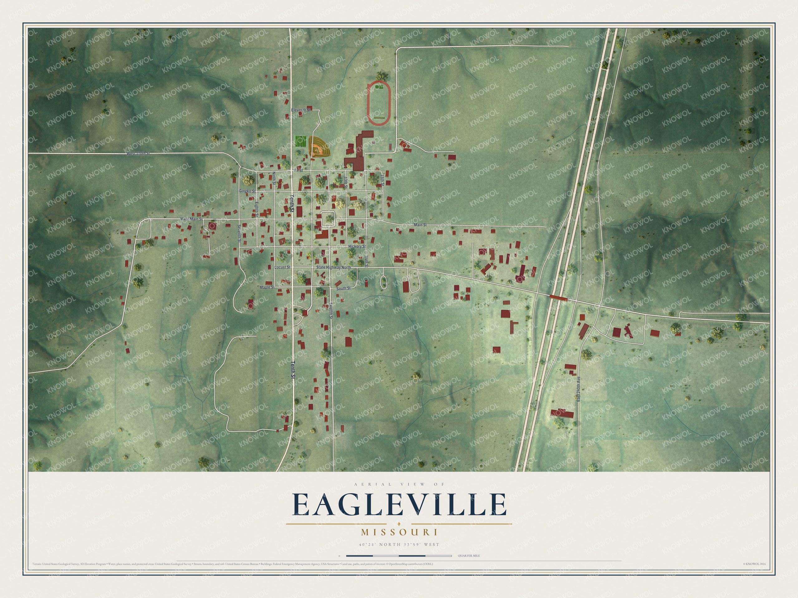
Created by KNOWOL in 2026, this print shows Eagleville's streets and red buildings over shaded green hills and farm fields. The title panel reads "Aerial View of Eagleville, Missouri" with the coordinates 40°28' North 93°59' West.
It fits a living room, a hallway or a home office. It's a good gift for someone who grew up on Main Street or went to school in Eagleville and has since moved away. Open the preview and find the streets you know. See sizes and frames for the Eagleville map.