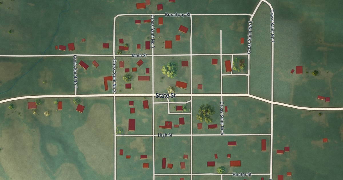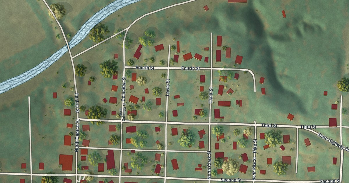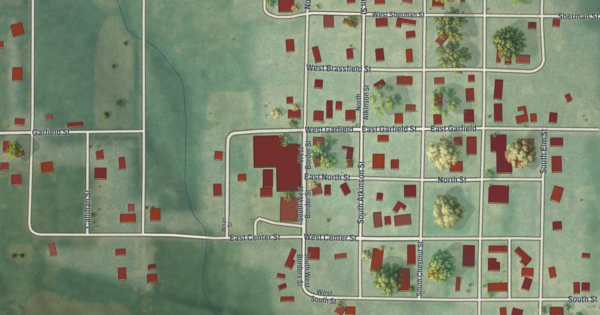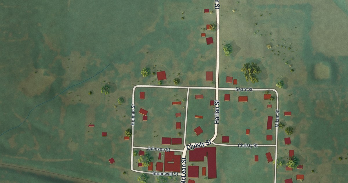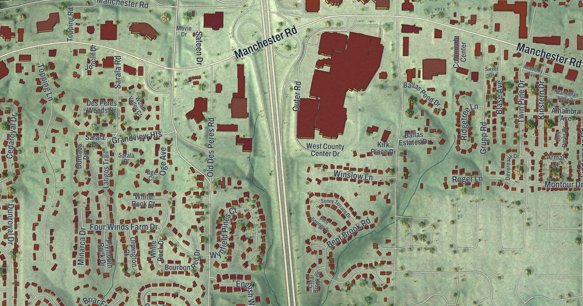
If you grew up in Des Peres, look for your old street here. This modern aerial view uses modern data for a vintage feel of Des Peres, Missouri, in St. Louis County. Red buildings fill the blocks, and green shading brings out the hills. Des Peres City Hall and Manchester Road give you familiar places to start.
Manchester Road and Barrett Station Road
On this map you'll find Manchester Road, Des Peres City Hall, Des Peres Road, Barrett Station Road, Dougherty Ferry Road, North Ballas Road, Bopp Road, Old Des Peres Road, Highland Avenue, Oak Drive, Barretts, and more. Each red shape is a building, so zoom in on the preview and look for yours.
Barrett Station Road also offers a link to nearby history. The National Register lists Barretts Tunnels at 3015 Barrett Station Road in Kirkwood. The tunnels became a listed historic district in 1978. On this print, you can find the Barretts name and Barrett Station Road among the streets beyond central Des Peres. They're useful details for anyone who knows this wider stretch of home.
Des Peres City Hall on your wall
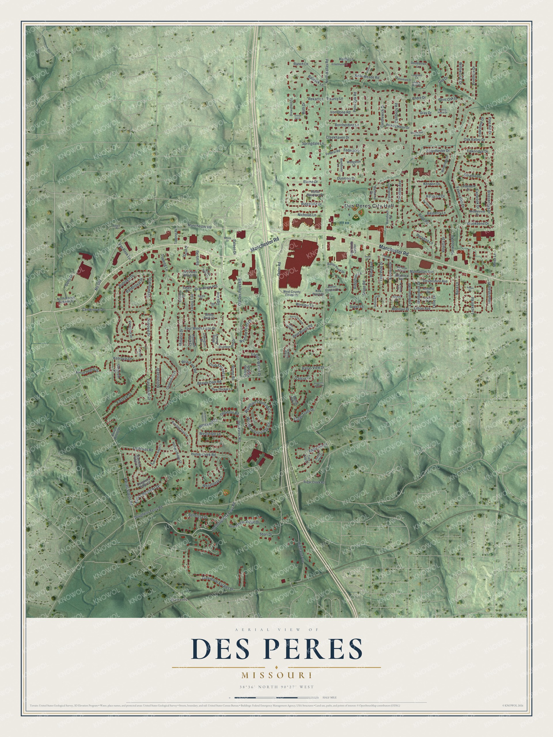
Created by KNOWOL in 2026, the print pairs soft green terrain with red buildings and pale roads. A cream border surrounds the view. The title panel reads AERIAL VIEW OF, DES PERES, MISSOURI, with 38°36' NORTH 90°27' WEST below.
Hang it in a living room, office, or entryway. It's a gift for someone who grew up near Manchester Road and now lives far away. Open the preview and look for the block you'd like to keep close. See sizes and frames for the Des Peres map.