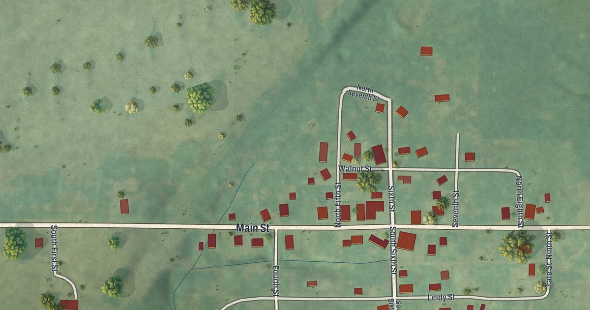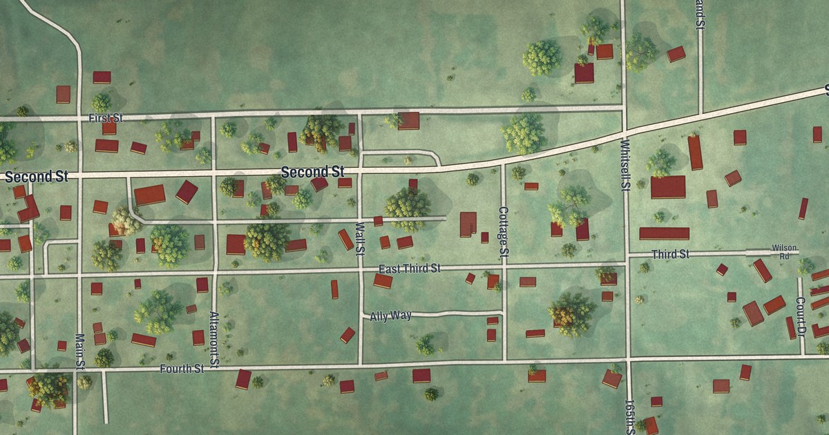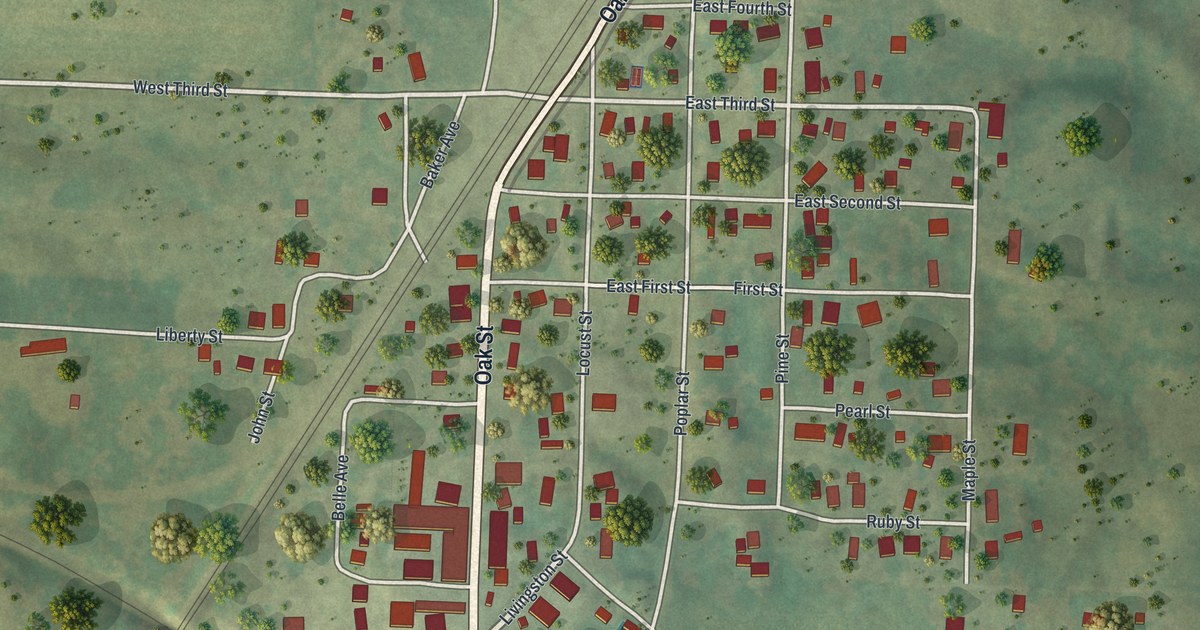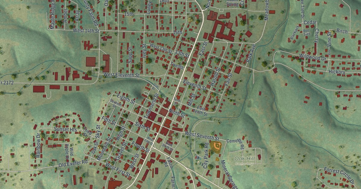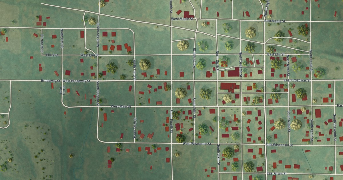
If you grew up in Breckenridge, or you still have family on the streets off Broadway, this map gives you the whole town to find. It's a modern aerial view of Breckenridge in Caldwell County, Missouri, built from modern data and finished with a vintage look. Red buildings fill a neat grid of streets in the middle. Green farm fields spread out on every side, with thin blue creeks winding through them. Rose Hill Cemetery sits just south of town.
Broadway Street, Division Street and Rose Hill Cemetery
On this map you'll find Broadway Street, Rose Hill Cemetery, Division Street, East Broadway Street, West Broadway Street, North Seventh Street, East Elm Street, East Maple Street, East Oak Street, East Main Street, East Wisconsin Street, East Grant Street, West Main Street, West Wisconsin Street, West Colfax Street, and more. Each red shape is a building, so zoom in on the preview and look for yours.
The old millstone brought to Breckenridge
A 1923 county history says a millstone was lifted from a creek bed and placed in Breckenridge's city park. The book calls it the only relic of the old mill.
The map marks 333 buildings in red, from East Oak Street down to Division Street. The same county history says Breckenridge had "perhaps the oldest couple living in the United States."
For someone who grew up off Broadway Street in Breckenridge
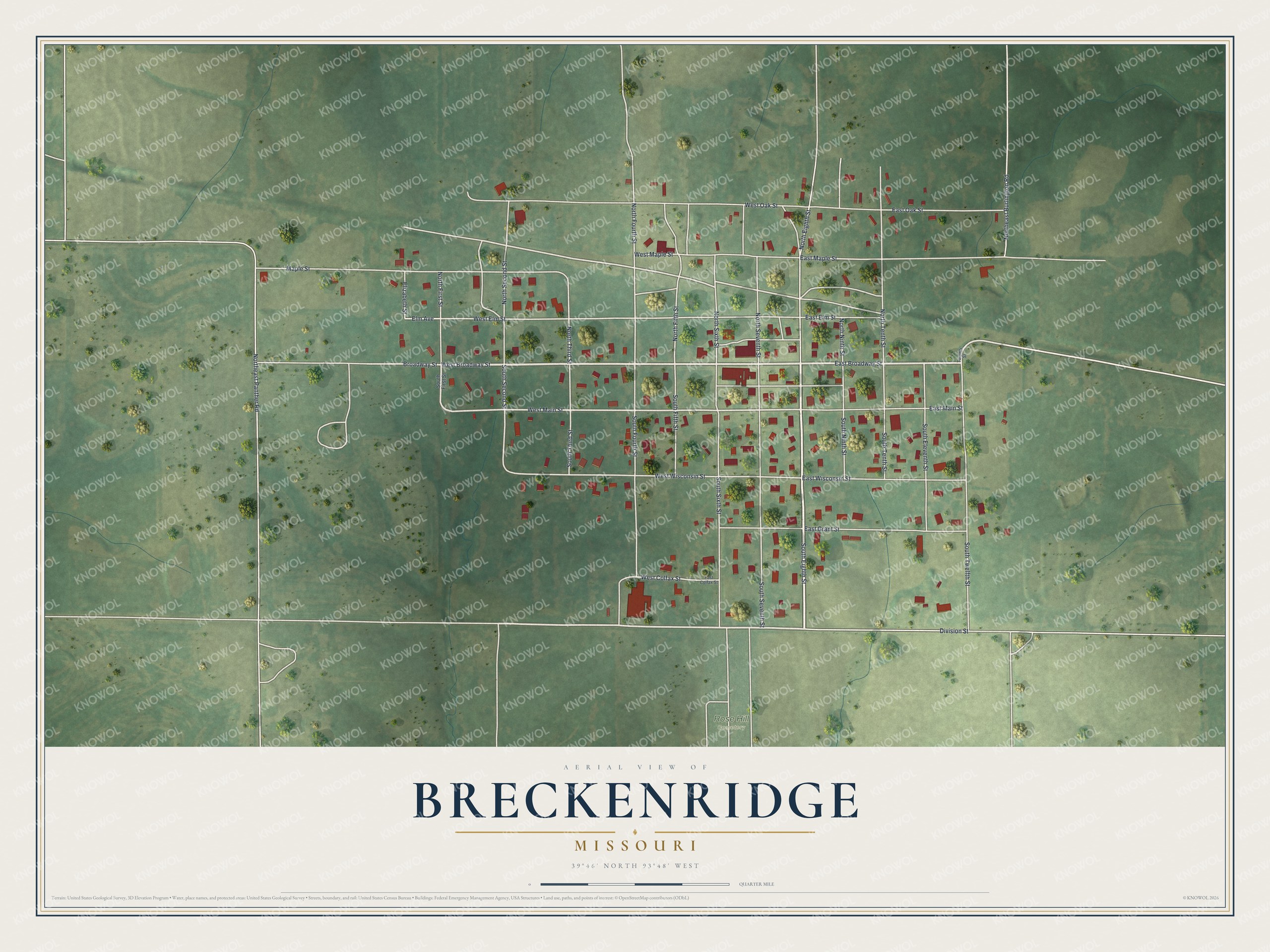
Created by KNOWOL in 2026, this Breckenridge map marks 333 buildings in red on the town's street grid, with blue creeks around it. The title panel reads "Aerial View of Breckenridge, Missouri," with the coordinates 39°46' North, 93°48' West and a quarter-mile scale bar.
It fits a kitchen, a den or a farmhouse office. It's a thoughtful gift for someone who grew up near Broadway Street, moved away from Caldwell County, or has family buried at Rose Hill Cemetery. Open the preview, zoom in and find a street you know. See sizes and frames for the Breckenridge map.