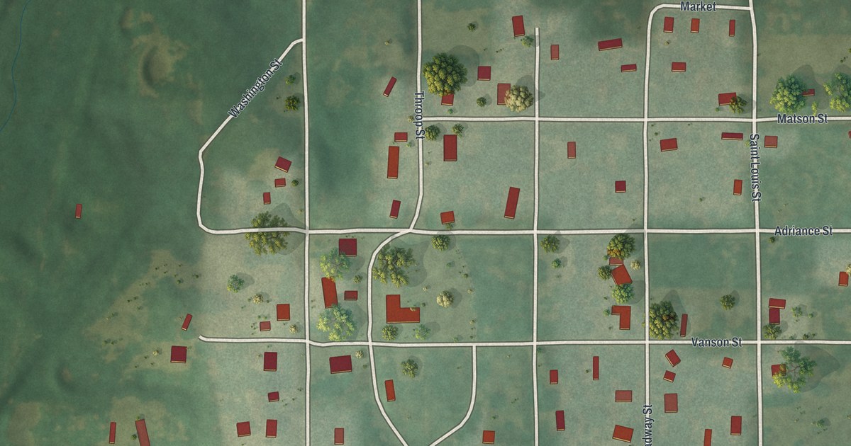
If you grew up in Utica, look for your old street on this print. It's a modern aerial view of Utica in Livingston County, Missouri, made with modern data and a vintage feel. Red buildings dot a small street grid, with green land stretching beyond it.
Saint Louis Street and the streets of Utica
On this map you'll find Saint Louis Street, Broadway Street, Washington Street, Matson Street, Adriance Street, Fellows Street, Mead Street, Division Street, Nettleton Street, Marble Street, Josephine Street, Brick Road, and more. Each red shape is a building, so zoom in on the preview and look for yours.
The 2020 Census counted 222 people in Utica village. This view gives you a sense of its scale. Small blocks form the heart of the map, with trees and open ground between buildings. Beyond those blocks, scattered red buildings stand among broad stretches of green. You can take in the village and its setting in one view. Brick Road, Highway Spur 36 and Liv 429 are printed too, so the roads out of the village are here as well.
Saint Louis Street and Broadway Street on your wall
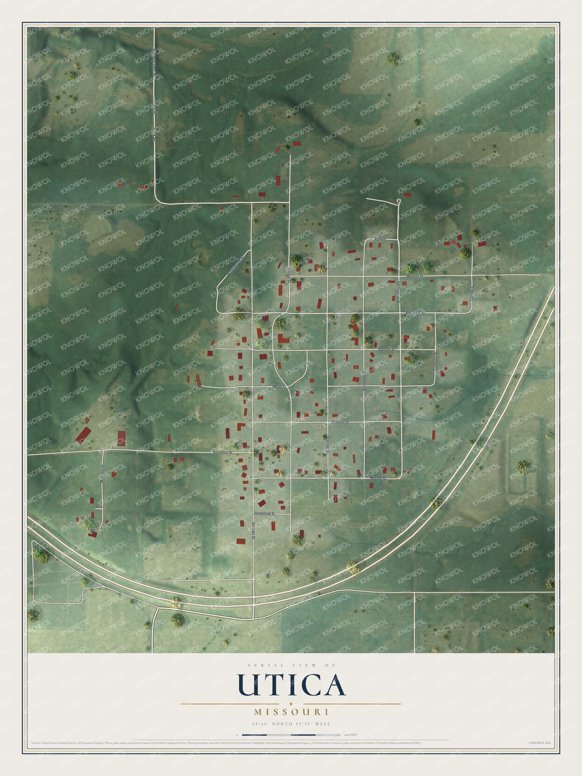
Created by KNOWOL in 2026, the print pairs soft green land with red buildings and pale roads. A cream border and dark blue lettering give it a vintage feel. The title panel reads AERIAL VIEW OF, UTICA, MISSOURI, and 39°45' NORTH 93°38' WEST.
Hang it in a living room, home office, or entryway. It's a gift for anyone who grew up in Utica or still calls it home. Open the preview to find a familiar block and take a closer look. See sizes and frames for the Utica map.