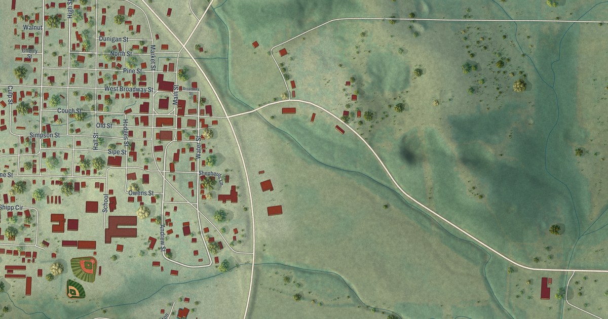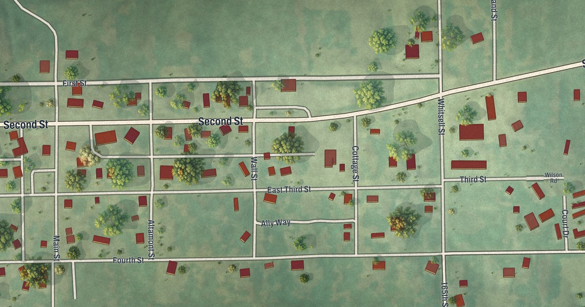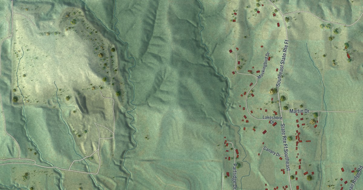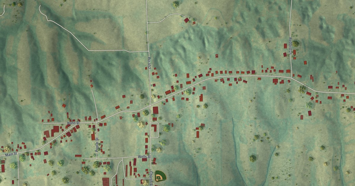
If you grew up in Lexington, went to school here or still have family in town, this map gives you plenty to find. It's a modern aerial view of Lexington in Lafayette County, Missouri, made from modern data and given a vintage look. Almost 3,000 buildings are drawn in dark red, and the green hills are shaded so the ridges and hollows stand out. A wide blue river cuts across the top left corner. The view runs from there south past Marshall School Road into open farm country.
Main Street, City Park and Machpelah Cemetery
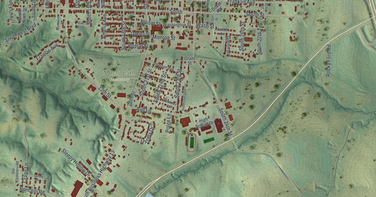
Start downtown on Main Street, where the red buildings sit closest together. Head west and the street runs toward the bluff above the river. Down near the water, Commerce Street and Riverfront Street sit at the top left of the sheet. Now turn back east. Franklin Avenue and South Street run beside Main, just to the south. Keep going east past 20th Street and 26th Street to 30th Street. There the town thins out, and a long highway runs down the right side.
North of Main, Clinton Street and Wood Street climb toward City Park. You'll spot its small blue lake, with Park Road, Lakeview Drive and Poolview Drive close by. South of downtown, Machpelah Cemetery fills an open patch in the middle of the map. Past it, High School Drive leads to a group of large buildings and green fields. From there the town stretches south along one long road. Look for Sleepy Hollow Drive, Outer Road, Gilead Rupe Road and Marshall School Road, then Brooke Road near the bottom. Many roads are labeled and each red shape is a building, so zoom in on the preview and look for yours.
Old houses on Aull Lane and South Street
The National Register of Historic Places lists many old buildings in and around Lexington. The Lafayette County Courthouse stands on the public square downtown. The Cumberland Presbyterian Church is at 112 South 13th Street, just off Main. The Waddell House is at 1704 South Street. Aull Lane has two listed houses a few doors apart, at 2321 and 2326. One of them is the Spratt, Allen and Aull House, and the lane carries that same Aull name.
A Lexington blacksmith from 1835 to 1868
A 1910 history of Lafayette County tells of a blacksmith who came to Lexington from Virginia in 1835. He worked at his trade in town for 33 years. In 1868 he left his shop and bought a farm one mile south of town. He farmed there until he died in 1886. The same book tells of a banker who helped open the first bank in Lexington after the Civil War. Follow the long road south past Machpelah Cemetery on the map. You'll see the houses thin out and the farm fields take over.
For someone who knows Main Street in Lexington
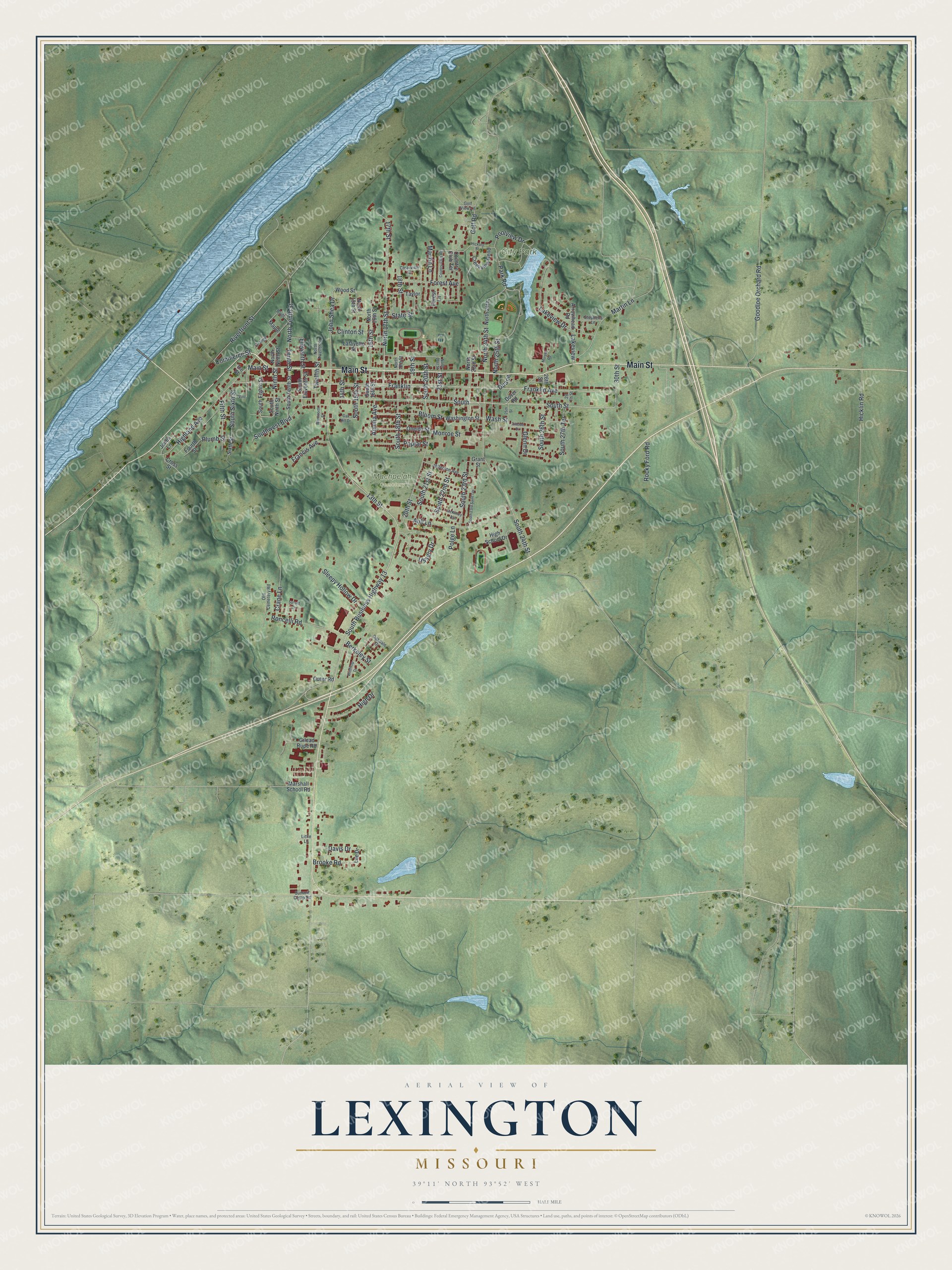
Created by KNOWOL in 2026, this Lexington map fits an office, a den or a front hall. The hills are shaded from USGS elevation data, and the buildings stand out in deep red against soft green. The title panel reads "Aerial View of Lexington, Missouri" with 39°11' North, 93°52' West and a half-mile scale bar.
It makes a thoughtful gift for someone who grew up near City Park, went to school off High School Drive or moved away from Lafayette County. Open the preview, zoom in on Main Street and find a block you know. See sizes and frames for the Lexington map.