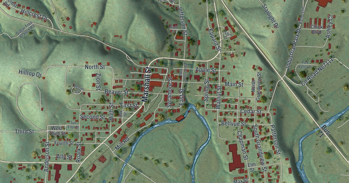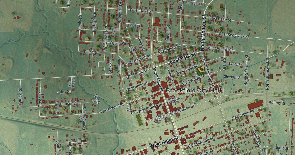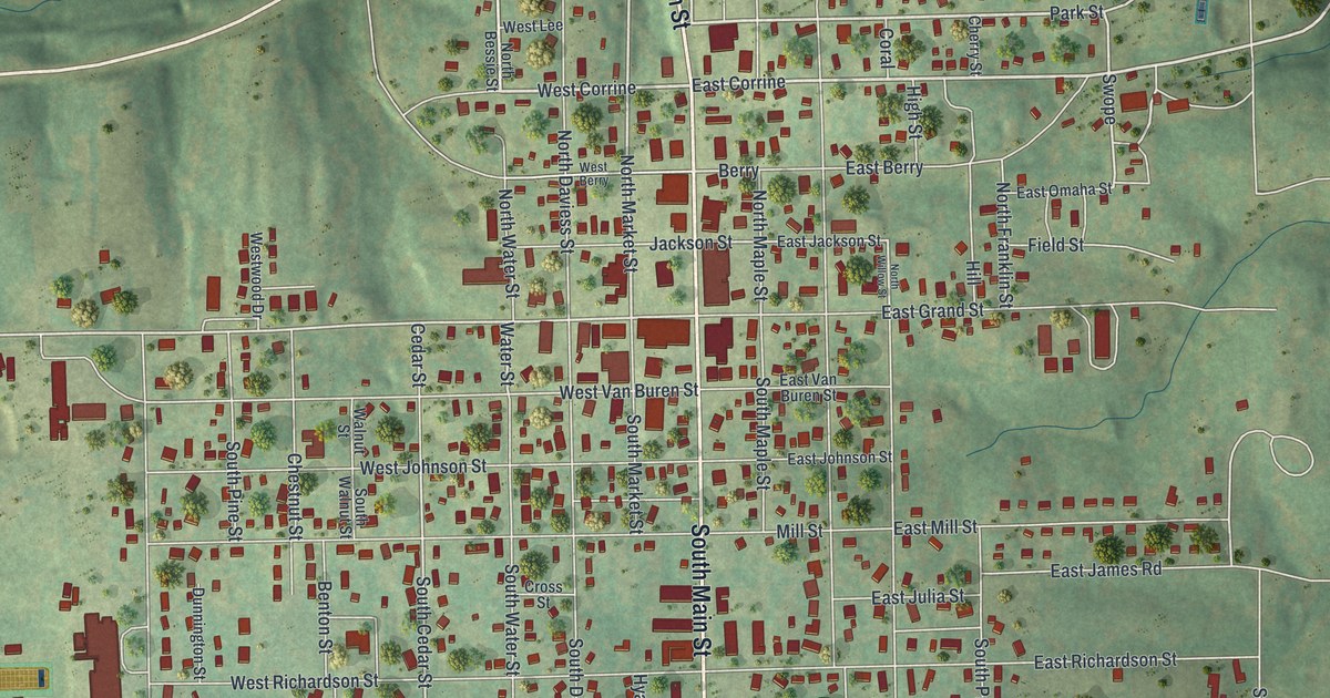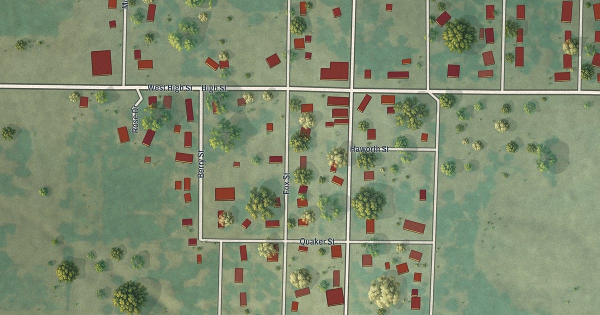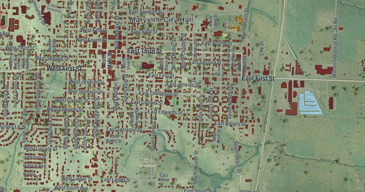
If you grew up in Maryville, went to school here, or still have family in town, this map gives you a lot to find. It's a modern aerial view of Maryville in Nodaway County, Missouri, made from modern data with a vintage look. Almost 5,000 buildings are drawn in deep red on soft green hills. Maryville City Hall sits near the middle of town. East First Street runs east past a row of pale blue ponds, and a wide blue river runs down the right side of the sheet.
Maryville City Hall, East First Street and University Drive
Start at Maryville City Hall, printed in the middle of town. East Third Street and East First Street run east from there, and West First Street heads west. North Main Street and South Main Street cross the center from top to bottom. Now follow East First Street east. You'll leave the blocks behind and pass Wilson Industrial Road and the pale blue ponds. Keep going and you'll reach the river on the right edge.
Back in town, head northwest to University Drive, College Park Drive and Memorial Drive. College Avenue runs just below them, near Judah Park. Oak Hill Cemetery sits at the top of town, and Miriam Cemetery is south of downtown. South Main Street carries on past Volunteer Avenue, and near the bottom you'll find Thunderbird Drive and Horsepower Drive. Many of the roads are labeled, and each red shape is a building, so zoom in on the preview and look for yours.
Maryville's Main Street on the National Register
Three places on Main Street are on the National Register of Historic Places. The Nodaway County Courthouse stands at Third and Main Streets, and it was listed in 1979. The Maryville Post Office, at 509 North Main Street, was added in 2022. A structure called the Big Pump, at 903 South Main Street, was listed in 1980. On the west side, the Thomas Gaunt House at 703 College Avenue was listed in 1979. The Administration Building at 800 University Drive followed in 2010. Follow North Main Street down to South Main Street on the map and you'll pass the blocks where the first three stand.
The first mill in Nodaway County in 1840
Maryville's county has an early first. An 1882 history of Nodaway County says a settler named Cox came from Ohio in 1840. He built the first mill in Nodaway County. It stood on the One Hundred and Two River, eight miles south of Maryville. South Main Street leads out of town in that direction. Today Maryville is a city of 10,633 people, according to the 2020 Census.
For anyone who knows Main Street in Maryville
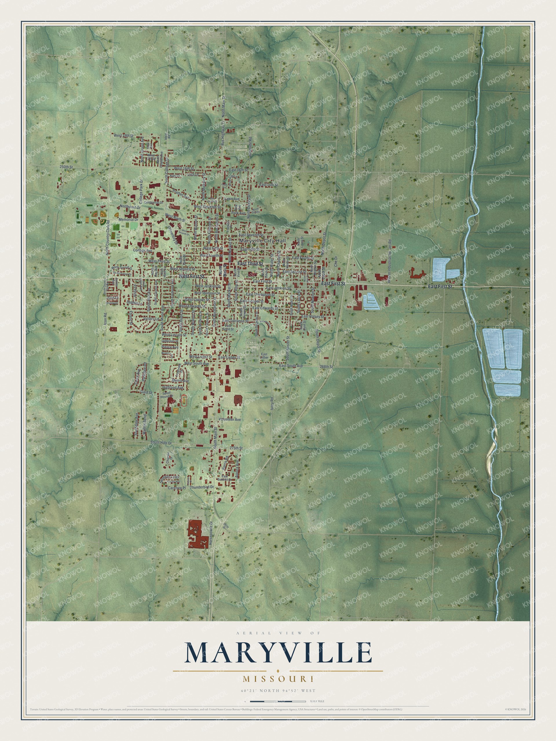
Created by KNOWOL in 2026, this Maryville map shows the town's streets, buildings and shaded hills. The hills come from USGS elevation data, and the streets come from Census Bureau records. The title panel reads "Aerial View of Maryville, Missouri" with 40°21' North, 94°52' West and a half-mile scale bar.
It fits a den, a kitchen or an office wall. It's also a good gift for someone who grew up near the Nodaway County Courthouse and moved away, or for a family with roots in Nodaway County. Open the preview, zoom in and find a street you know. See sizes and frames for the Maryville map.