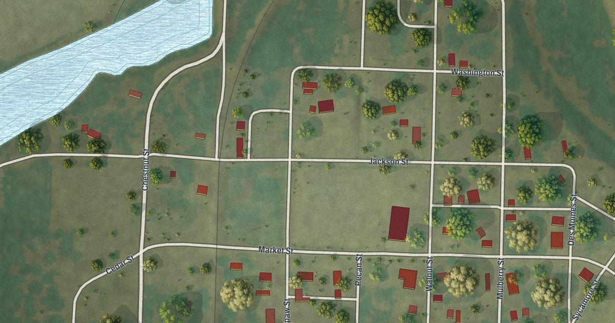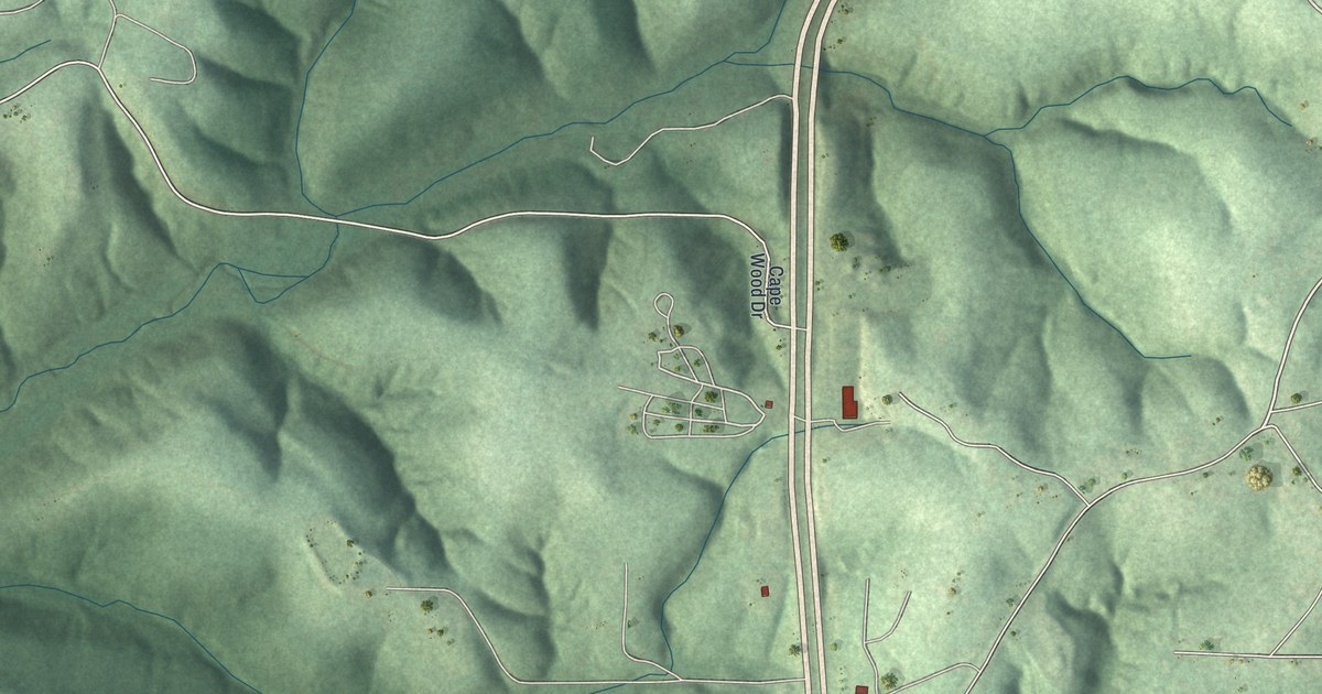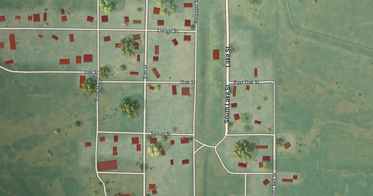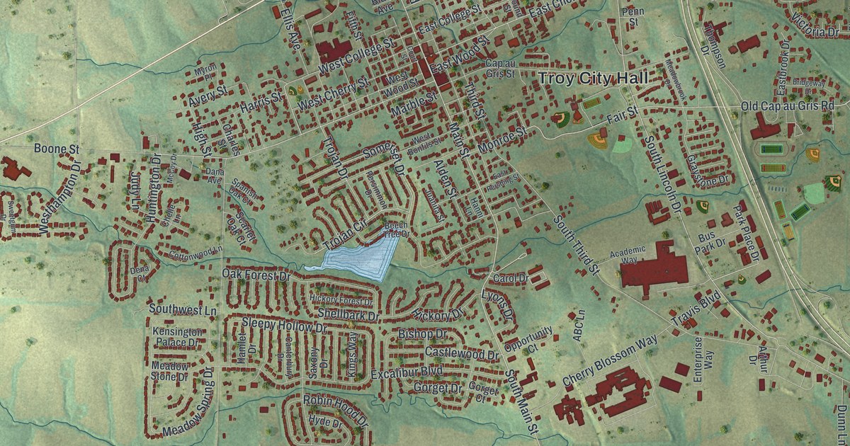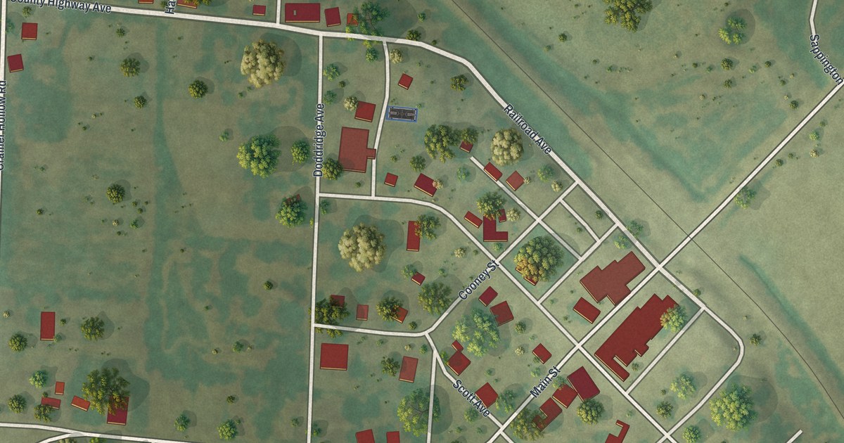
If you grew up in Blackwater, here's a way to keep its streets close. This modern aerial view of Blackwater in Cooper County, Missouri uses modern data with a vintage feel. Red buildings stand among green fields and trees, with a broad blue waterway nearby.
Main Street and Blackwater's Name
On this map you'll find Main Street, Railroad Avenue, Trigg Avenue, Scott Avenue, Park Avenue, County Highway Avenue, Fray Street, Doddridge Avenue, Cooney Street, Davis Avenue, Hinkle Street, Rucker Street, and more. Each red shape is a building, so zoom in on the preview and look for yours.
Blackwater took its name from a stream, according to the State Historical Society of Missouri's place-name account. That link to water is easy to picture in this view. Beyond the buildings around Main Street, a broad blue waterway crosses the green land. Smaller blue lines wind through the fields near town. The print gives those waters room alongside the streets and homes.
Blackwater's Streets on Your Wall
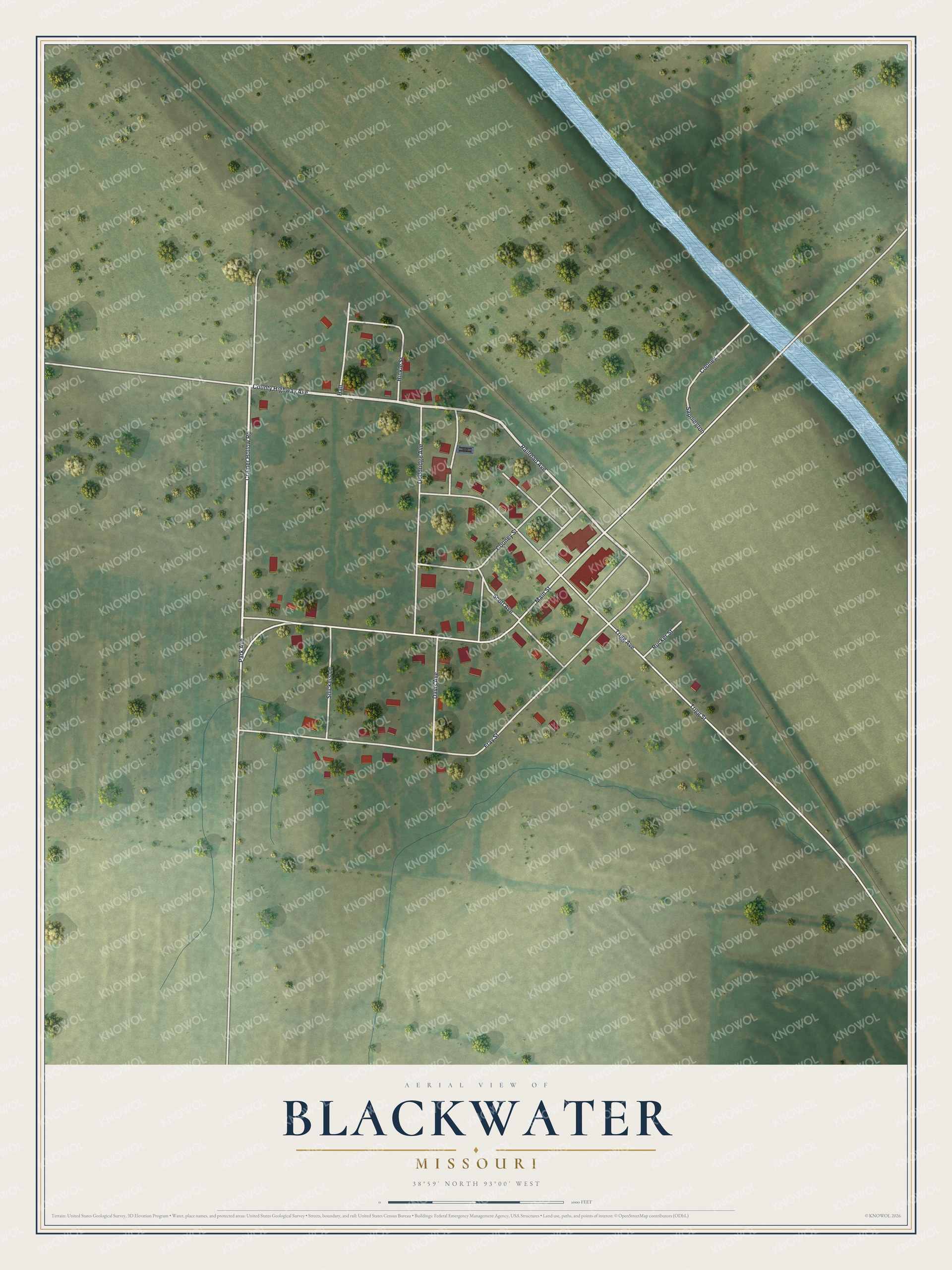
Created by KNOWOL in 2026, this print pairs soft green land with blue water, red buildings and a cream border. The title panel reads AERIAL VIEW OF BLACKWATER, MISSOURI, with 38°59' NORTH 93°00' WEST below.
Hang it in a living room, home office or entryway. It's a thoughtful gift for someone with family ties to Main Street. Open the preview to find a familiar block and take a closer look at Blackwater. See sizes and frames for the Blackwater map.