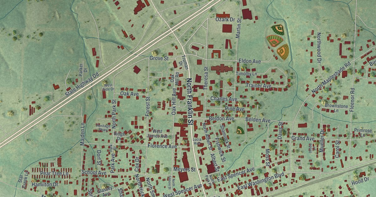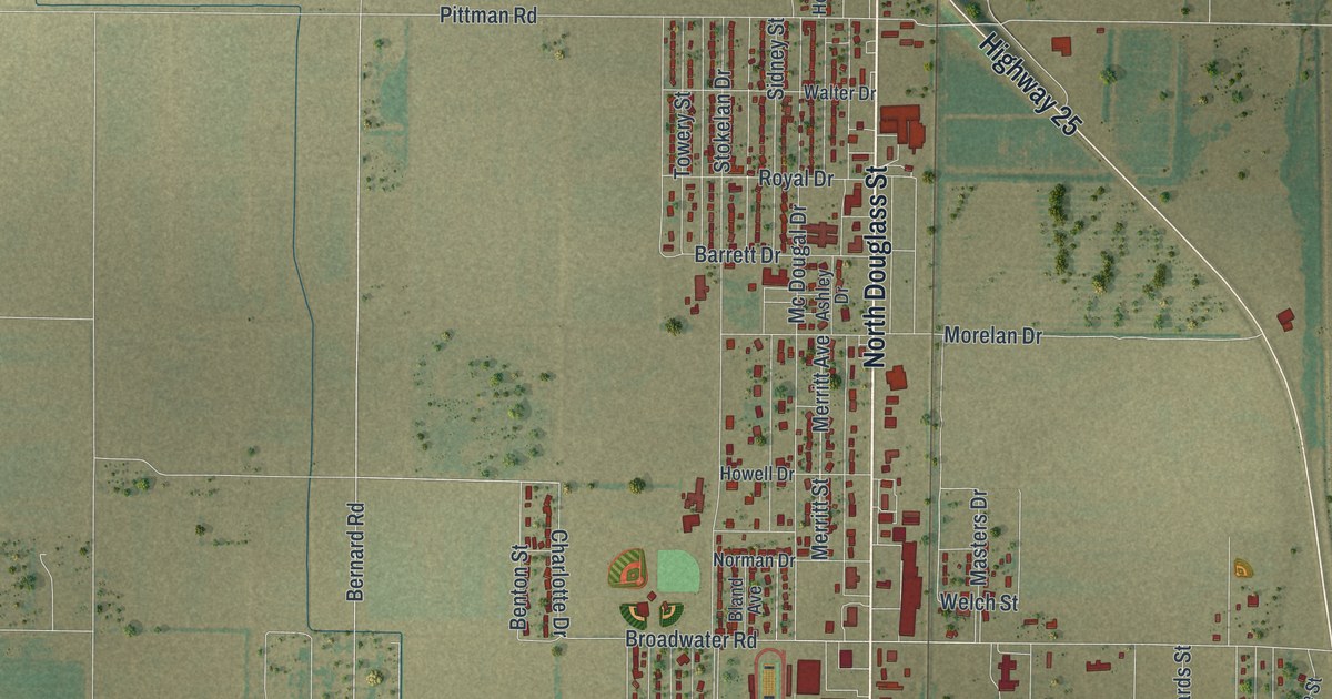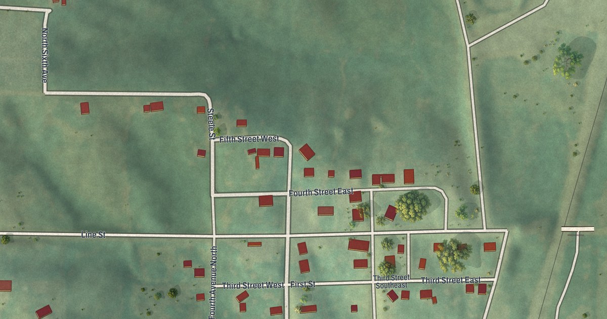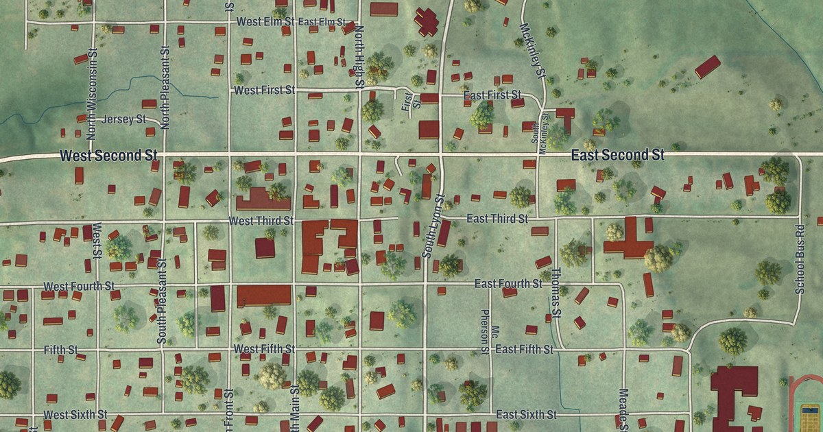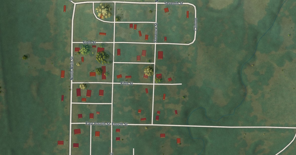
If you grew up on Main Street in Blairstown, or your family still has a place near Wall Street, this map is for you. It's a modern aerial view of Blairstown in Henry County, Missouri, made from modern data and given a vintage feel. The town's small grid of streets sits in the middle of the sheet. Green farm fields, tree lines and a winding creek spread out all around it, and a blue river curves down the left side.
How Blairstown got its name
On this map you'll find Main Street, North Main Street, Wall Street, North Wall Street, First Street, Second Street, Third Street, Fourth Street, Fifth Street, Sixth Street, Seventh Street, Florence Street, North Rush Street, East Second Street, and more. Each red shape is a building, so zoom in on the preview and look for yours.
Blairstown was a railroad town from the start. A railroad company laid it out. The 1919 History of Henry County, Missouri says the town was named in honor of John I. Blair, whom it calls "a noted capitalist." The book says Blairstown was located on July 9, and building started right away. When it was written, the book called Blairstown "a thriving little city of 1,000 of the best people on earth." Look for Main Street and Wall Street among the numbered streets at the center of the map.
A bank and a building boom in Blairstown
The town kept growing. The same history lists a new bank at Blairstown in a busy season for the whole county. In one later year, Blairstown claimed it had spent 75,000 dollars on building. Hard days came too. The book notes that a bad storm hit Blairstown and the country around it on a July 1.
Main Street and Wall Street, ready for your wall
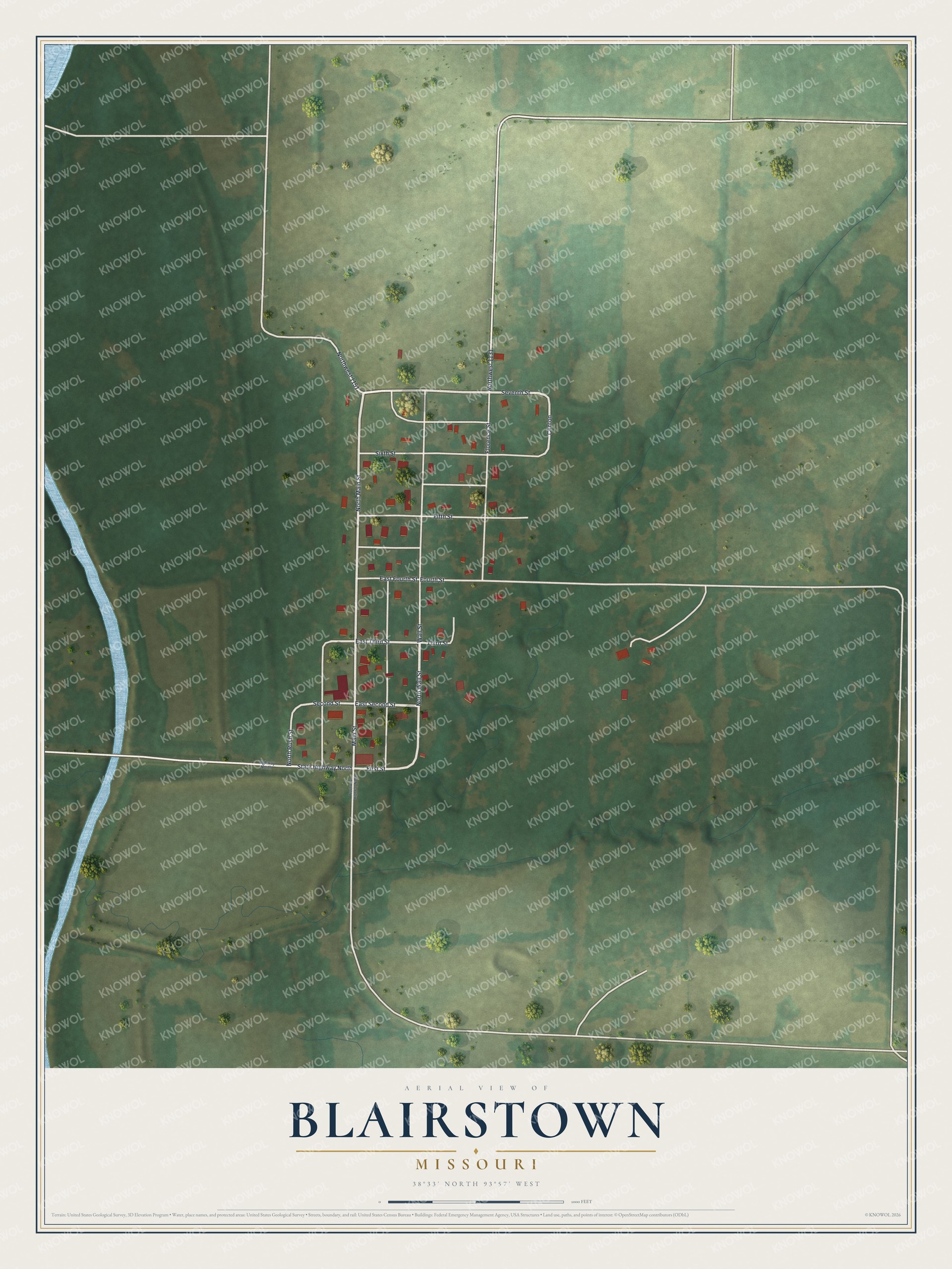
Created by KNOWOL in 2026, this print shows Blairstown from above in soft greens, with pale roads, red buildings, round trees and a blue river along the left edge. The title panel at the bottom reads "Aerial View of Blairstown, Missouri" with the coordinates 38°33' North 93°57' West.
It fits a living room, a front hall, a den or a farmhouse kitchen. It's a good gift for someone who grew up near Main Street in Blairstown and moved away, or for a family that has farmed near town for years. Open the preview and find the streets you know. See sizes and frames for the Blairstown map.