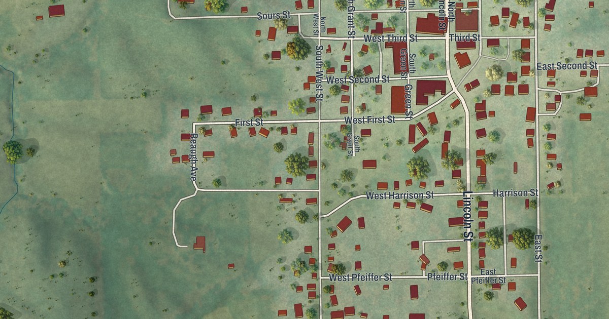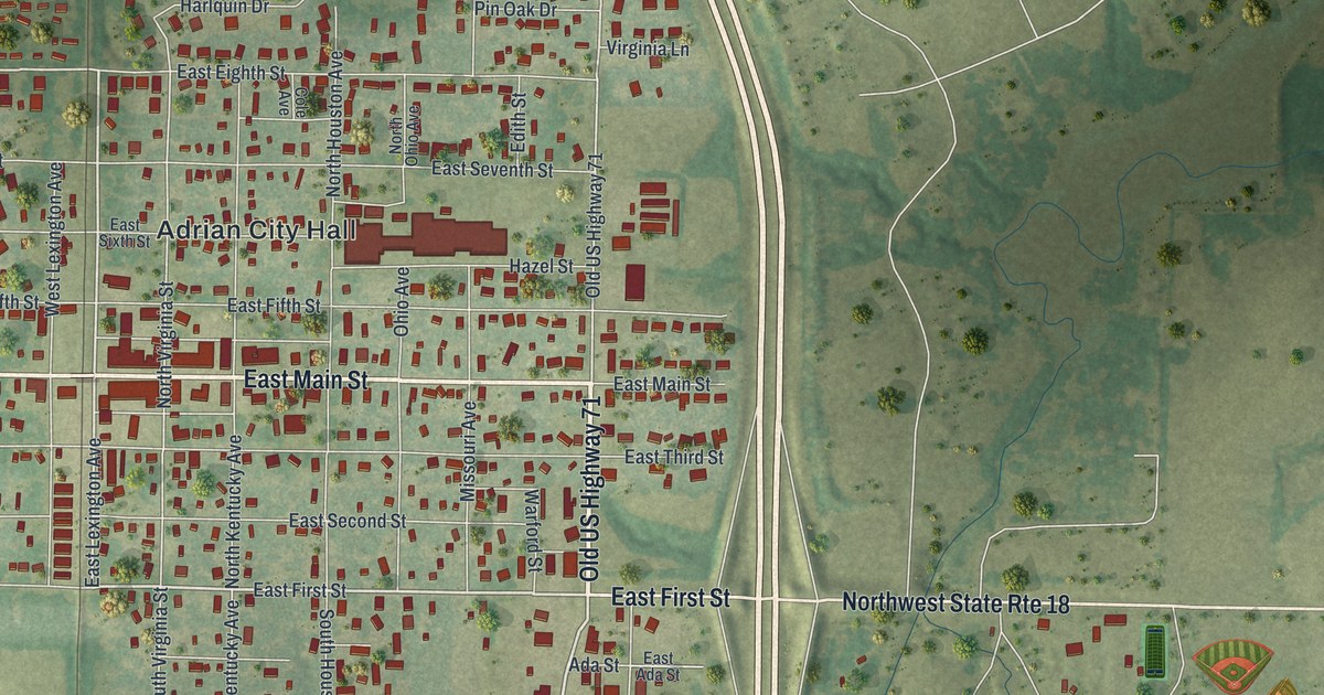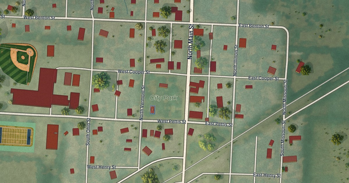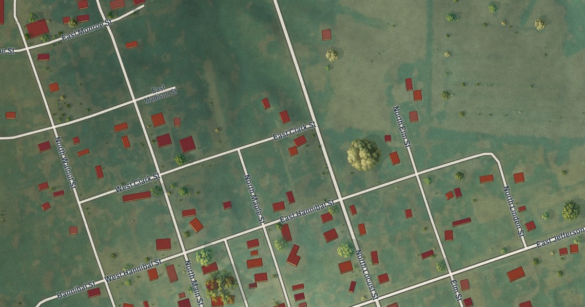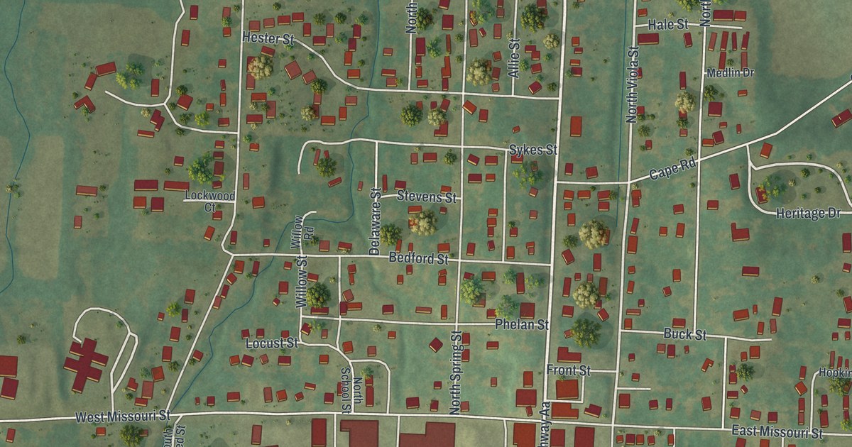
If you grew up near the Stoddard County Courthouse in Bloomfield, or your family still lives off Prairie Street, this map is for you. It's a new aerial view of Bloomfield in Stoddard County, Missouri, made from modern data and given a vintage look. You'll see more than 1,000 red building shapes, the white lines of the town's streets, and the green fields and low hills all around.
How Bloomfield got its name
On this map you'll find North Prairie Street, South Prairie Street, East Court Street, West Court Street, Cape Road, Bloomfield Avenue, West Missouri Street, East Missouri Street, Depot Road, Stoddard Road, South School Street, Crowley Ridge Drive, Heritage Drive, and more. Each red shape is a building, so zoom in on the preview and look for yours.
Bloomfield's name comes from flowers. John McComb, Michael Rodney and Henry Shaner chose the site and laid out the town in 1835. They found a large field of flowers there. So they called the new town Bloomfield. That account comes from the place names file kept by the State Historical Society of Missouri. Today the map shows Bloomfield as a grid of streets and red buildings, with green fields and low hills around it.
The courthouse at Prairie and Court
The Stoddard County Courthouse stands where Prairie Street meets Court Street, near the middle of the map. It was added to the National Register of Historic Places in 1984. Not far off, the Henry Miller House sits at 106 Cape Road. It joined the National Register in 2018. Both are close to the thickest cluster of red buildings, right in the heart of town.
Bloomfield from Prairie Street to Cape Road

Created by KNOWOL in 2026, this print shows Bloomfield from above in soft greens, with red buildings and white streets. The hills to the south and west are shaded so you can see the lay of the land. The title panel reads "Aerial View of Bloomfield, Missouri" with the coordinates 36°53' North 89°56' West.
It fits well in a living room, a hallway or a home office. It's a thoughtful gift for someone who grew up near the Stoddard County Courthouse and now lives far away. Open the preview and find the street you know. See sizes and frames for the Bloomfield map.