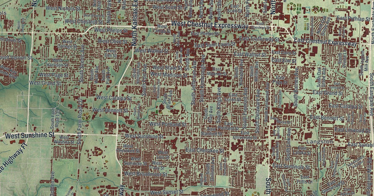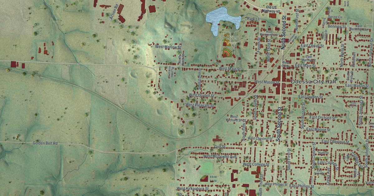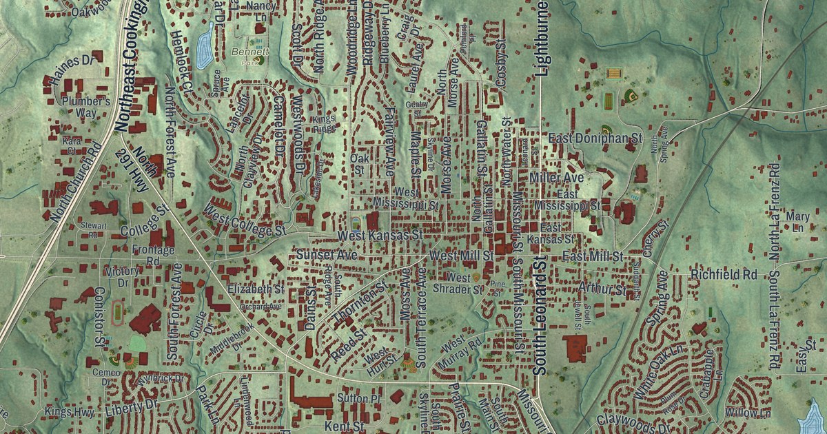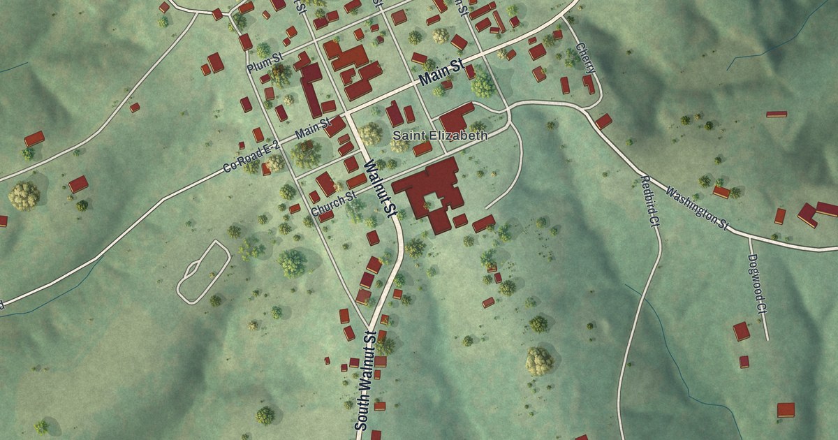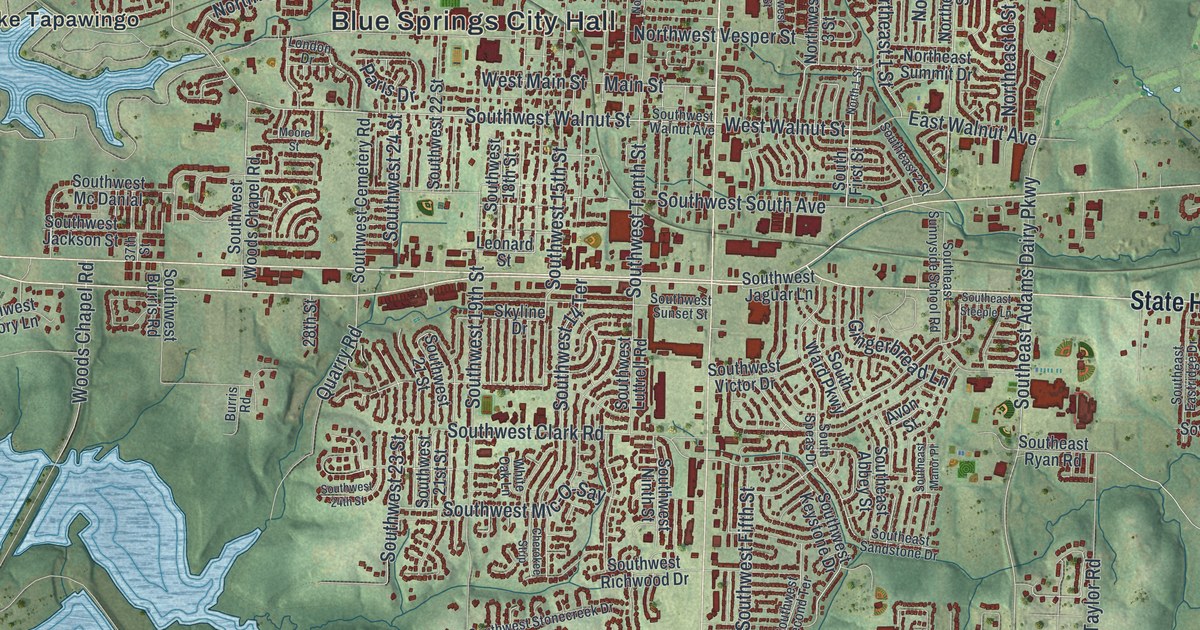
If you grew up in Blue Springs, this print gives you familiar streets to find again. It's a modern aerial view of Blue Springs in Jackson County, Missouri, made with modern data and a vintage feel. Red buildings fill the street grid, with green hills and blue water around them.
Blue Springs City Hall and familiar streets
On this map you'll find Blue Springs City Hall, Main Street, Adams Dairy Parkway, Lake Tapawingo, Northwest State Highway 7, Northwest Jefferson Street, Southwest Walnut Street, Woods Chapel Road, Northwest Vesper Street, Southwest Moreland School Road, and more. Each red shape is a building, so zoom in on the preview and look for yours.
Blue Springs took its name from water flowing out of a hillside. The 1881 History of Jackson County says the spring flowed from the side of a hill into a tributary of the Little Blue River. A post office took the name in 1845. A small village grew around it, with stores run by Franklin Smith and Riley Slaughter. In 1879, the village moved to the railroad. On today's map, you can find the town that grew up there. Start with the Blue Springs City Hall label and look for the blocks you know.
A Blue Springs map for Main Street and Lake Tapawingo
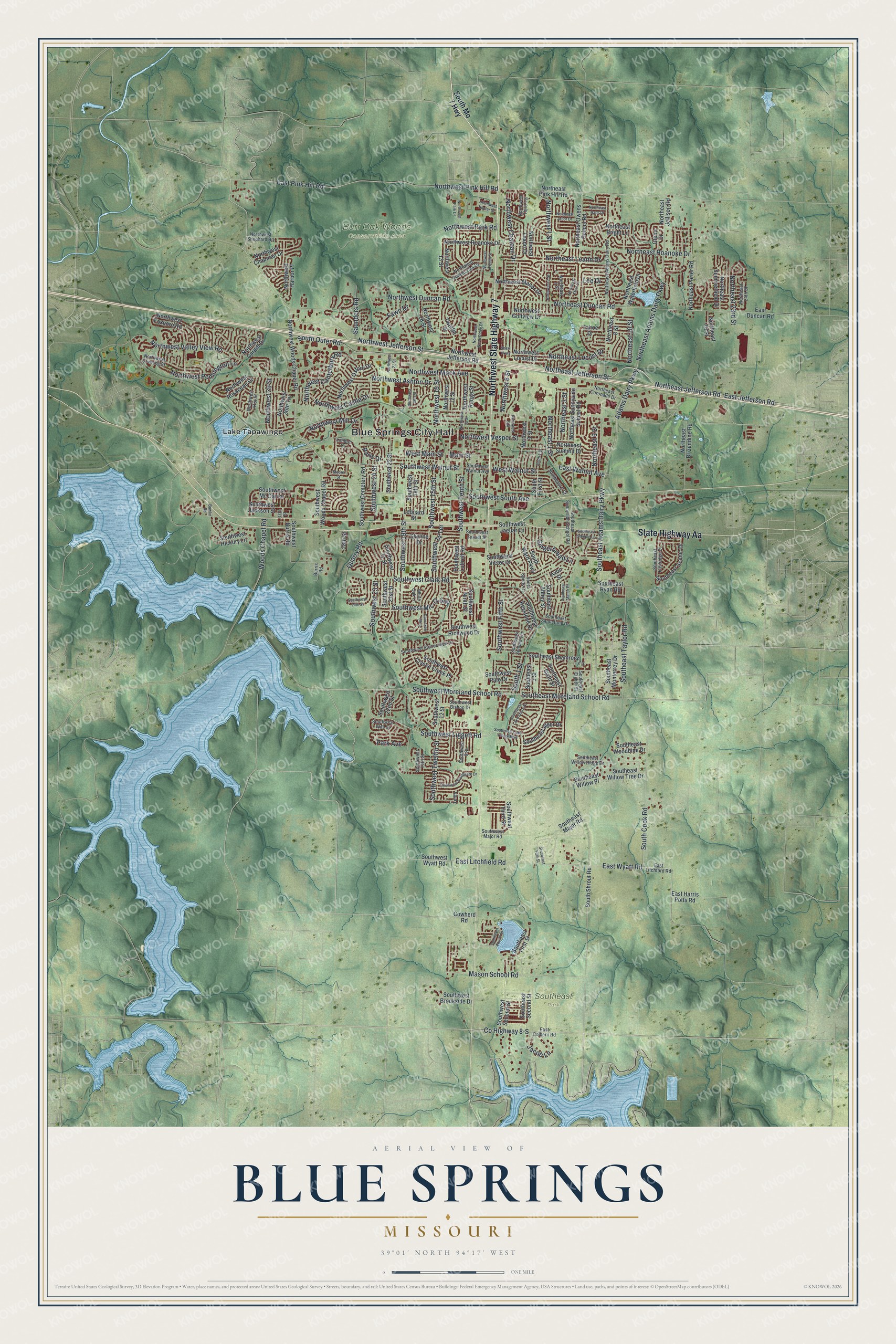
Created by KNOWOL in 2026, the print pairs green shaded hills with blue water and small red buildings. A cream border surrounds the view. The title panel reads AERIAL VIEW OF, BLUE SPRINGS, MISSOURI, with 39°01' NORTH 94°17' WEST below.
Hang it in a living room, office, or entryway. It's a thoughtful gift for someone who grew up near Main Street or has family in Blue Springs. Open the preview and look for Main Street and the other streets you know. See sizes and frames for the Blue Springs map.