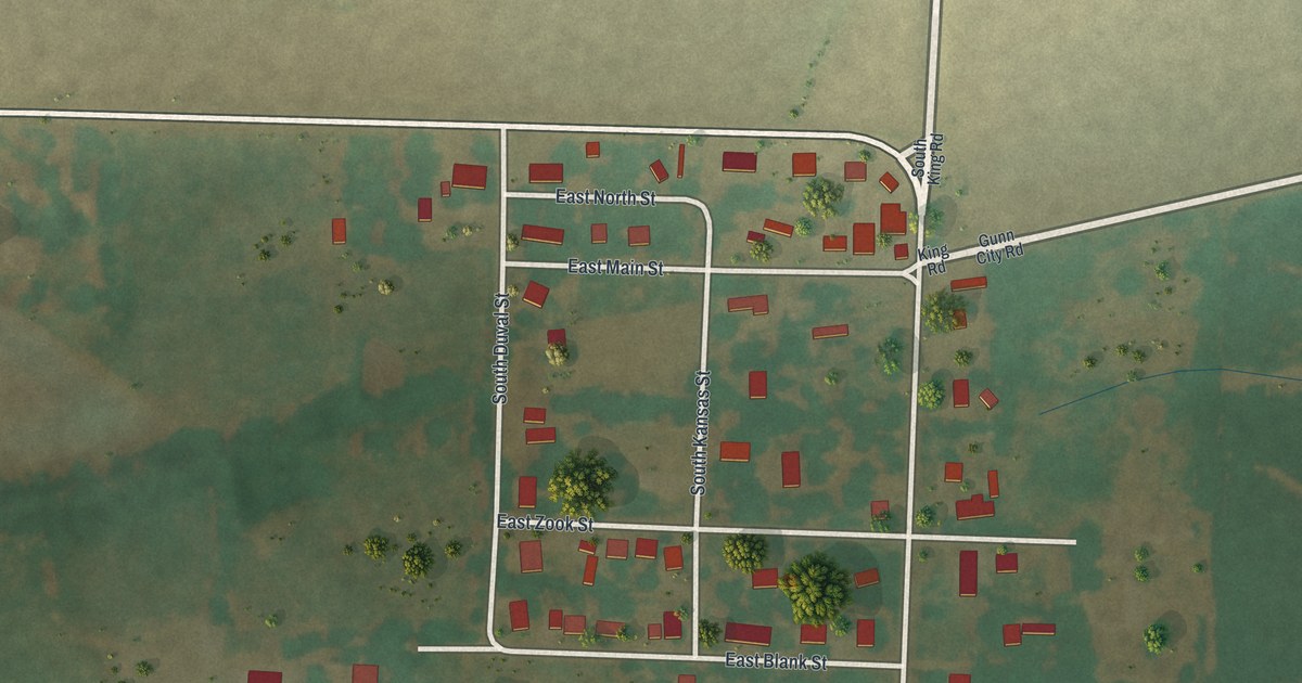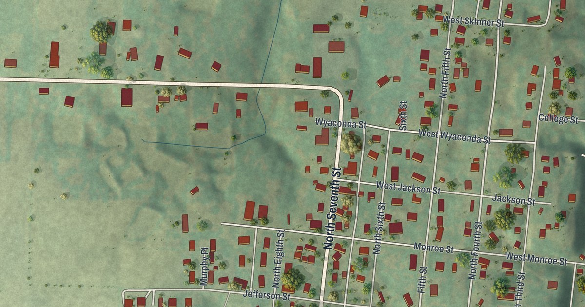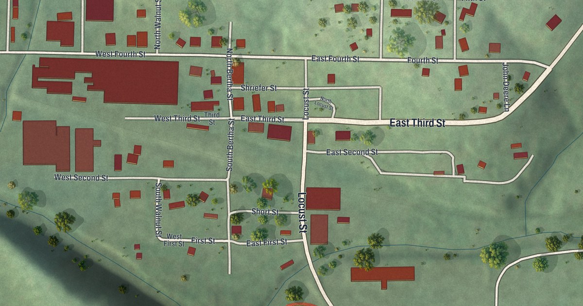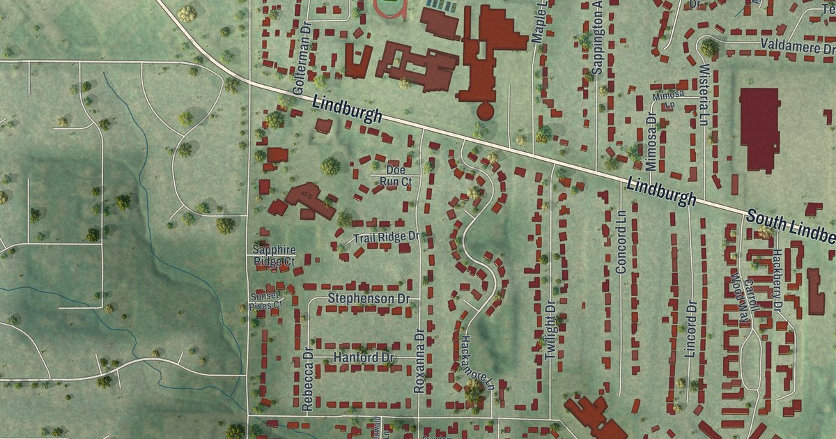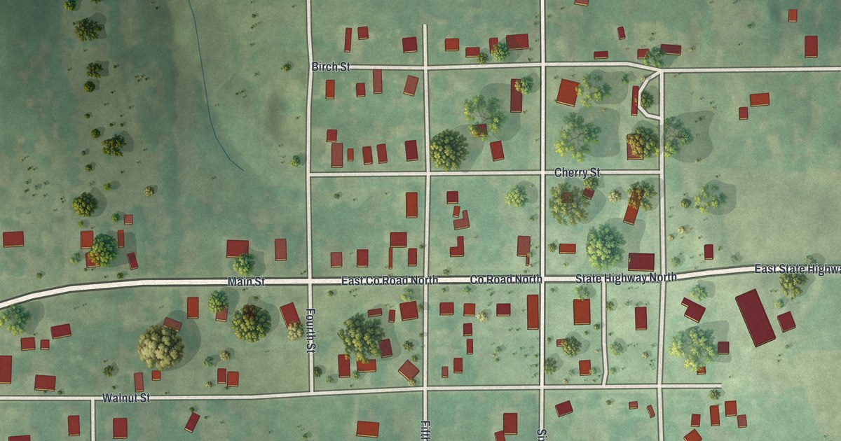
If you grew up in Blythedale or still have family on its quiet streets, this map was made with you in mind. It's a modern aerial view of Blythedale in Harrison County, Missouri, made from modern data and given a soft vintage look. The small town grid sits in the middle, with red buildings along Main Street and the streets around it. Green hills and thin blue creeks roll off to the northwest, and country roads run out to the edges of the sheet.
Main Street and the streets of Blythedale
On this map you'll find Main Street, State Highway North, East State Highway North, Co Road North, East Co Road North, Walnut Street, Cherry Street, Birch Street, Oak Street, Maple Street, Fourth Street, Fifth Street, Sixth Street, Seventh Street, 262nd Avenue, and more. Each red shape is a building, so zoom in on the preview and look for yours.
Three churches in three years in Blythedale
The 1921 History of Harrison County says the railroad led to the platting and building up of Blythedale. Three churches were organized within about three years. A Presbyterian church was organized in Blythedale in 1883. A Christian church followed in the spring of 1884. The Baptist church was organized in October 1885. An 1888 county history adds that the Union Sunday school met in town, with an average of forty students.
By 1921, the same book called Blythedale a thriving village of 294 people. It was an important trading and shipping point, and it had a solid bank. The book also said the town was known for the excellency of its public schools. In the spring of 1920, Latter Day Saint members who had moved to town bought a church building from the United Brethren denomination, and regular meetings began there. On the map, the small grid of streets sits around Main Street, with open green land on every side.
A Blythedale map for home or a gift
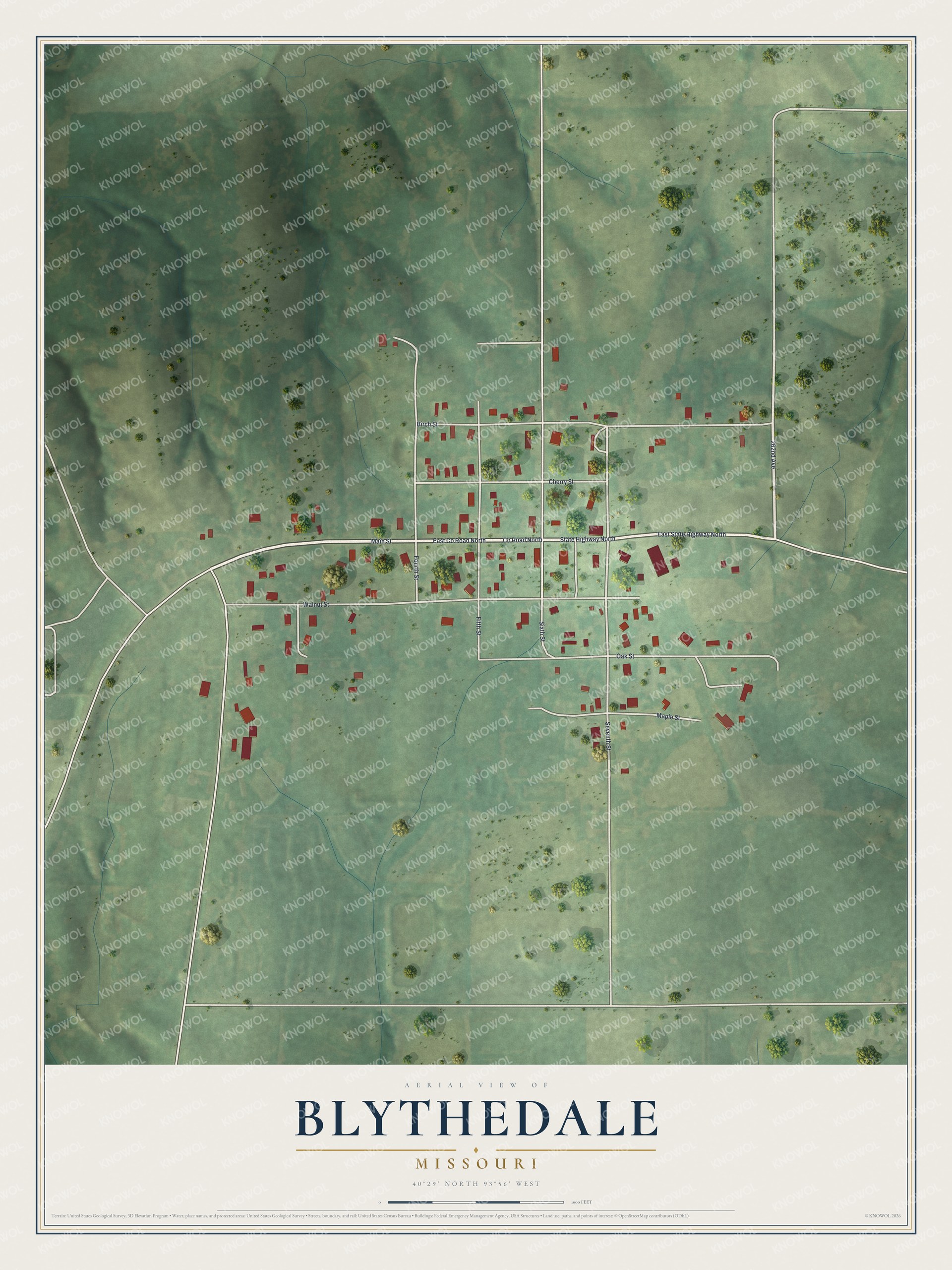
Created by KNOWOL in 2026, this print shows Blythedale from above in soft greens, with red buildings, pale roads and thin blue creeks. The title panel reads Aerial View of Blythedale, Missouri, with the coordinates 40°29' North 93°56' West.
It fits a living room, a kitchen or a hallway. It's a good gift for someone who grew up near Main Street and moved away, or for a family with deep roots in Harrison County. Open the preview and find your own street. See sizes and frames for the Blythedale map.