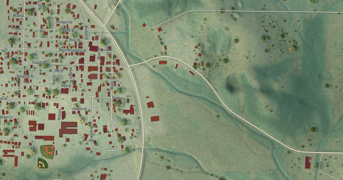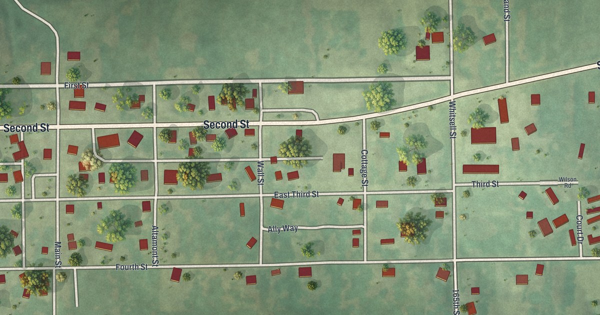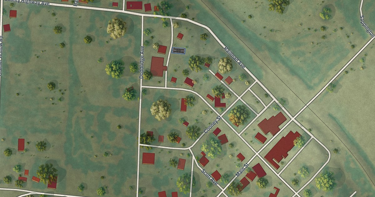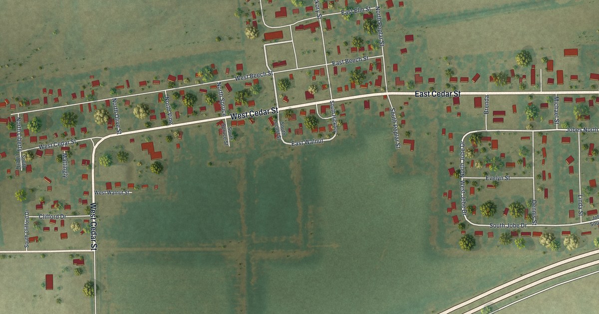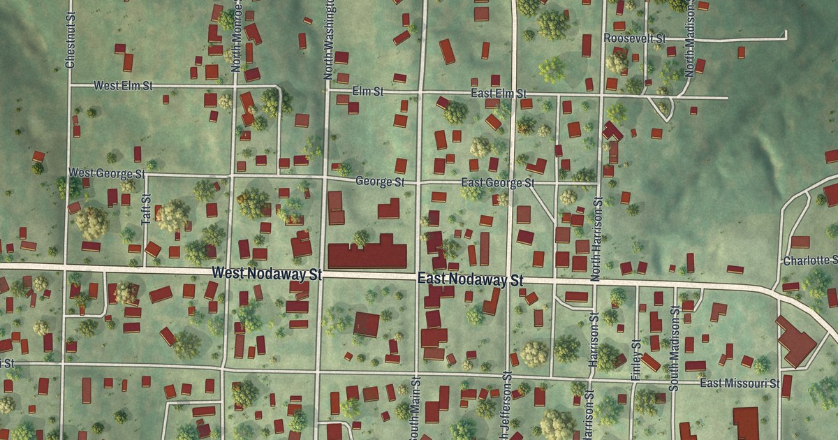
If you grew up on Nodaway Street or still have family in Oregon, this print shows the town you know. It's a modern aerial view of Oregon in Holt County, Missouri, made from modern data and given a vintage look. You'll see the tidy grid of streets around downtown, the buildings drawn in red and Oregon Cemetery just southeast of the center. Green hills roll in from every side, and deep creek valleys cut in from the south.
How Oregon's Town Site Came to Holt County
On this map you'll find Nodaway Street, North Main Street, South Main Street, North Washington Street, South Washington Street, North Jefferson Street, East Missouri Street, West Missouri Street, East Pine Street, West Elm Street, Barbour Avenue, Oakvale Road, Oregon Cemetery, and more. Each red shape is a building, so zoom in on the preview and look for yours.
Oregon's story starts in 1839. That year a group of settlers made homes near the spot. The History of Holt County, printed in 1917, names Burnett, Harmon G. Noland and John Gibson among them. Burnett staked a claim on the land that later became the town. Then it was decided that the county held the title to that land. So Burnett moved to his farm north of town. The book says he later became a well-known and wealthy man in California. Oregon grew up on the county's land, and its blocks now spread out from Nodaway Street and Main Street.
Richard Brown and Thorp's Mill Near Oregon
Oregon's early neighbors left their mark far away, too. An 1882 county history says Brownville, Nebraska, was named for Richard Brown. He was a well-known Holt County farmer. His place sat right next to the Oregon town site. Another early name was Thorp's Mill. John Thorp ran it on Mill Creek, about two miles southeast of Oregon. The 1917 history says it was the first business of its kind in the county.
Nodaway Street and Oregon on Your Wall
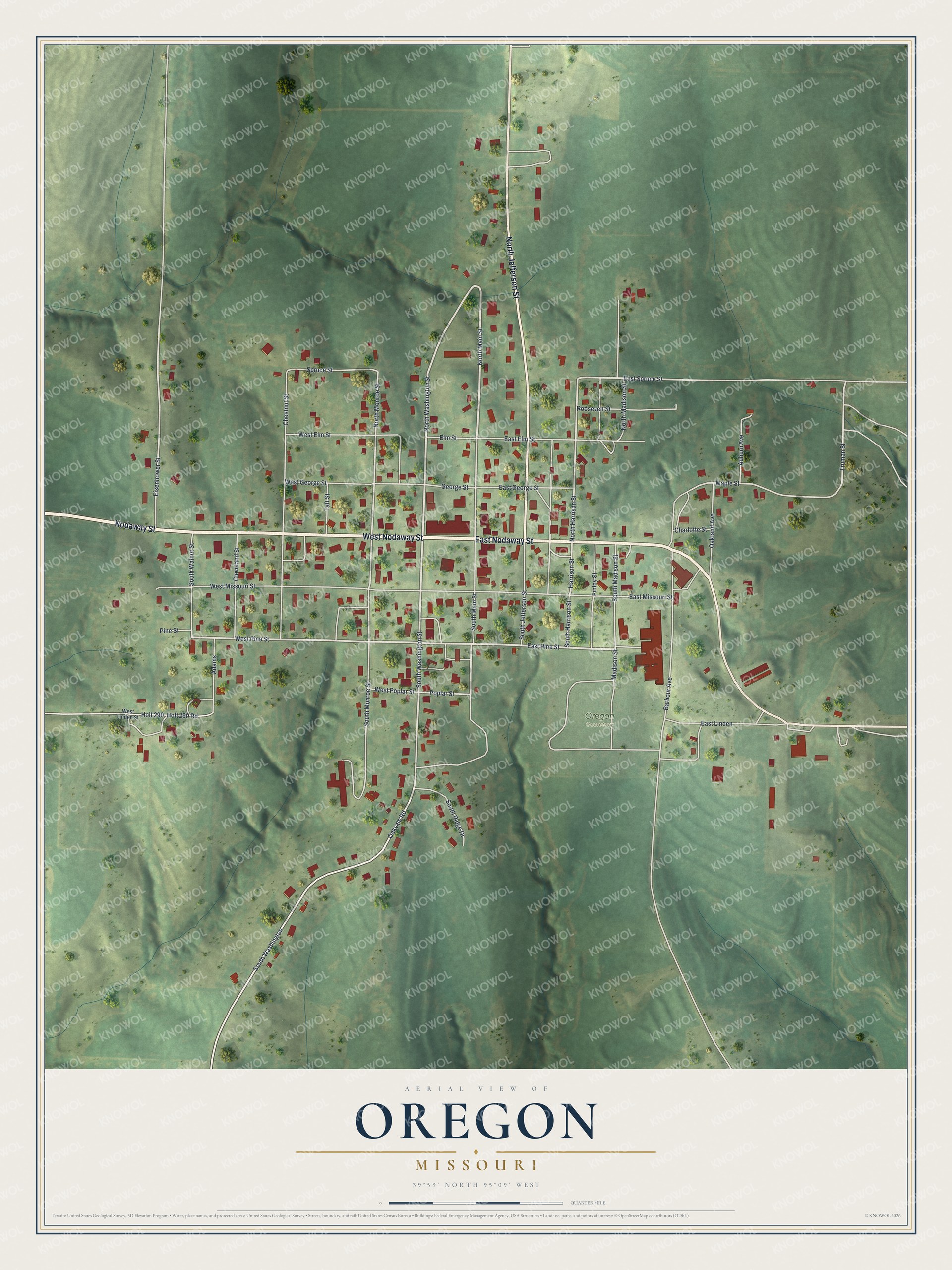
Created by KNOWOL in 2026, this print shows Oregon from above in soft greens, with shaded hills, pale roads and red buildings. The title panel at the bottom reads "Aerial View of Oregon, Missouri" with the coordinates 39°59' North 95°09' West.
It suits a living room, a hallway, a den or an office. It's a good gift for anyone who moved away from Holt County, or for someone who still drives down Nodaway Street every day. Open the preview and find the block you know best. See sizes and frames for the Oregon map.