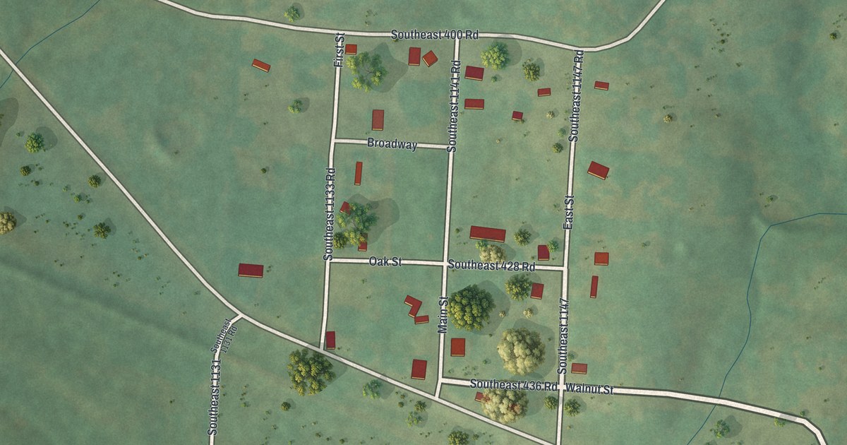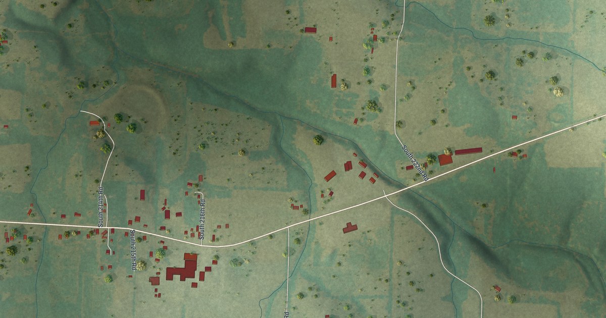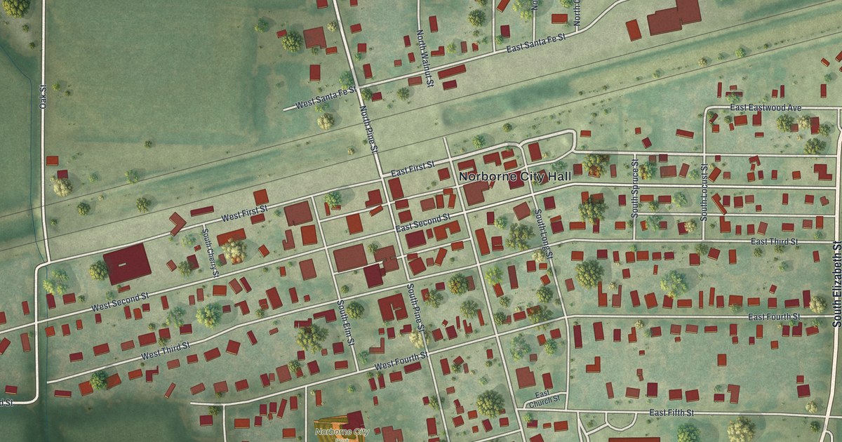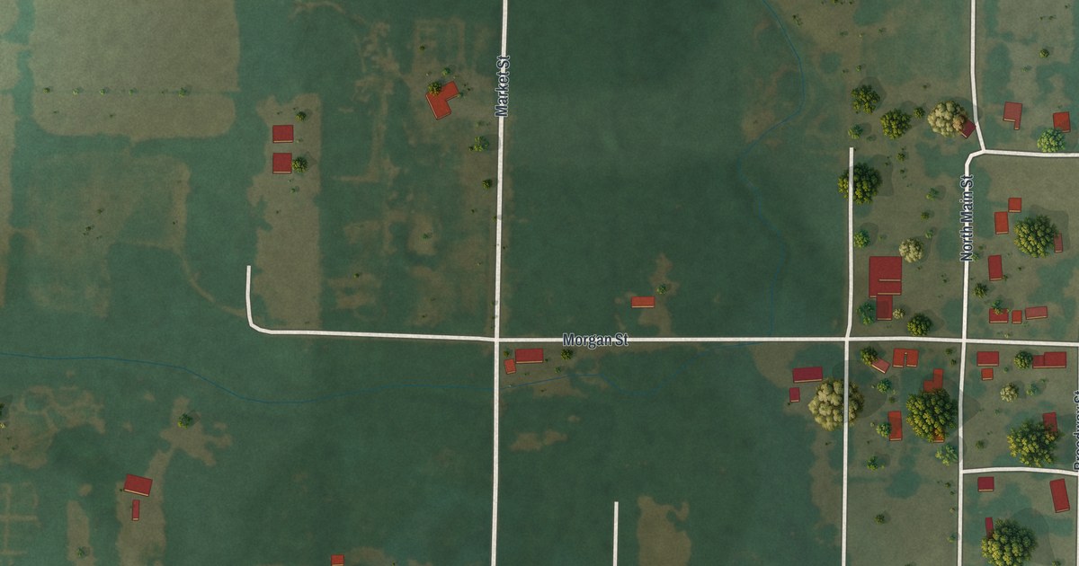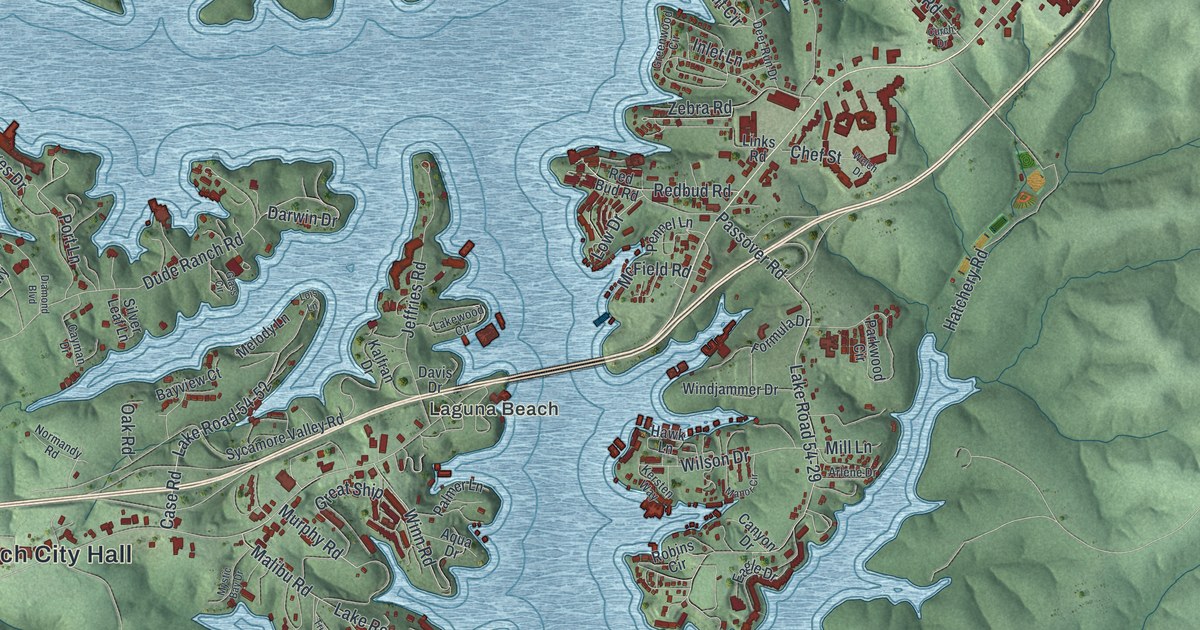
If you live off Osage Beach Parkway, or your family has a place down one of the coves, this map is for you. It's a modern aerial view of Osage Beach in Camden County, Missouri, built from modern data with a vintage feel. Long arms of blue water reach into green, shaded hills. Red buildings line the shore, and Damsel, Osage Beach City Hall and Laguna Beach are all printed on it.
How Osage Beach got its name
On this map you'll find Osage Beach Parkway, Osage Beach Road, Osage Beach City Hall, Laguna Beach, Damsel, Old US Highway 54, Hospital Drive, Columbia Boulevard, College Boulevard, Passover Road, Nichols Road, Beach Drive, Key Largo Road, Dude Ranch Road, Lazy Days Road, and more. Each red shape is a building, so zoom in on the preview and look for yours.
The name tells the story. The town sits on the eastern shore of the Lake of the Ozarks. The State Historical Society file describes the lake as the Osage River, for which the town was named. An old place-name file at the State Historical Society of Missouri says the town was named for the Osage River. So the river is in the name, and it's in the picture too.
Look at how much of this print is water. The blue reaches into nearly every hollow. You can see it in the street names. Beach Drive, Cove Road, Inlet Lane, Bayview Court and Lakeshore Drive all point back to the water. Pogue Hollow Lane and Bluff Drive point to the hills around it.
Keep Osage Beach Parkway and the coves close
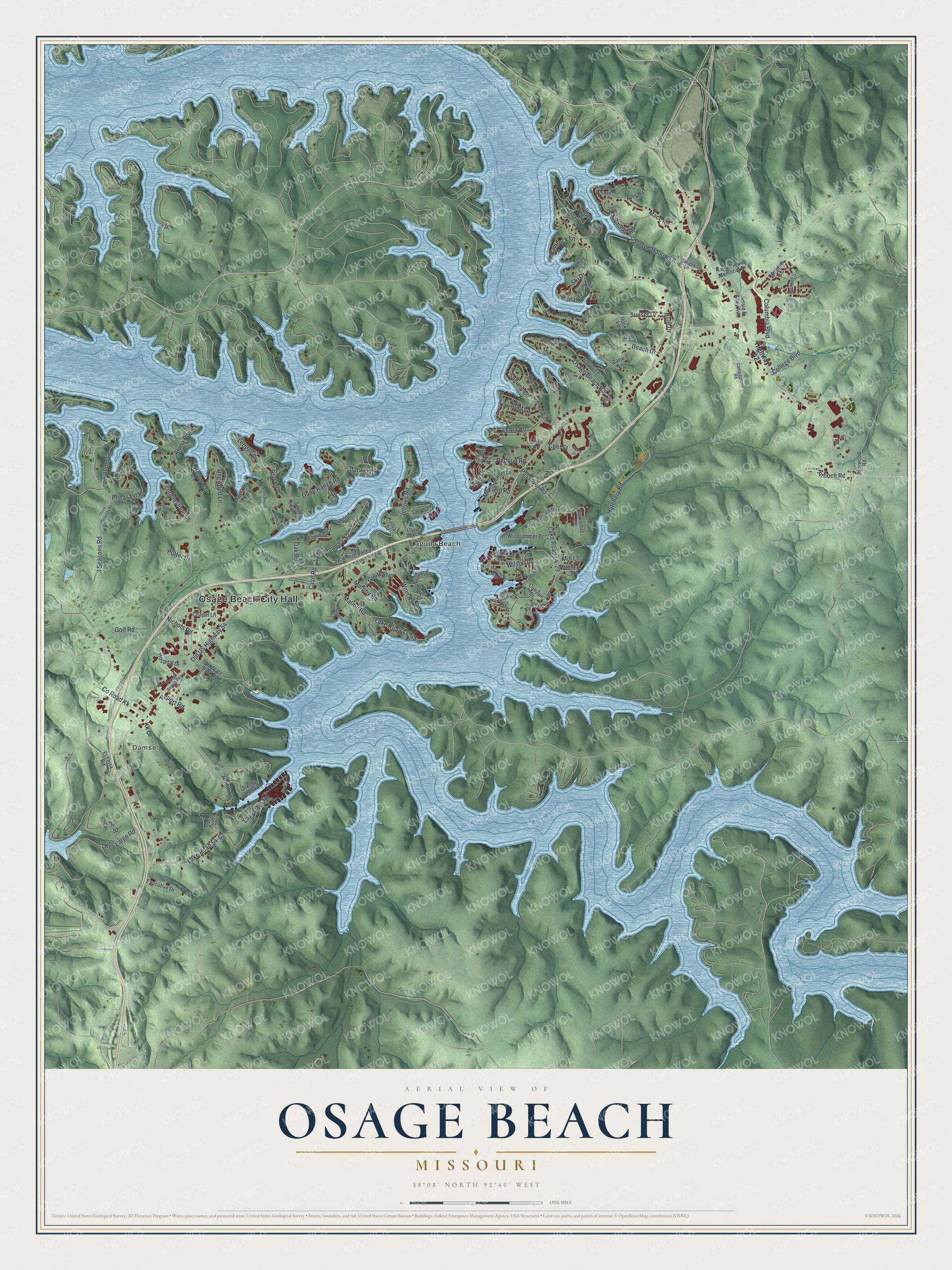
Created by KNOWOL in 2026, this print shows Osage Beach from above, with soft green hills, pale blue water and small red buildings along the shore. The title panel at the bottom reads "Aerial View of Osage Beach, Missouri" with the coordinates 38°08' North 92°40' West.
It fits a lake house, a living room or a den. It makes a good gift for someone who grew up near Osage Beach City Hall, or for a family that has come back to the same cove for years. Open the preview and find your stretch of shore. See sizes and frames for the Osage Beach map.