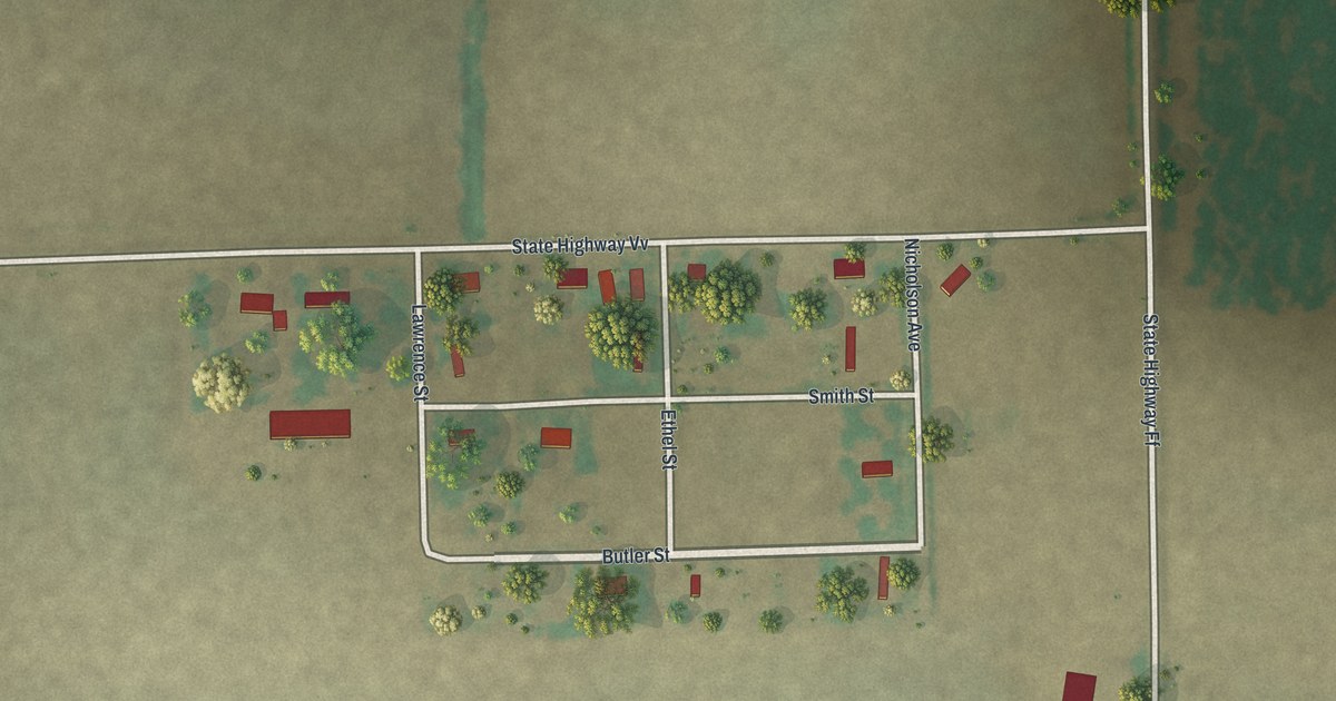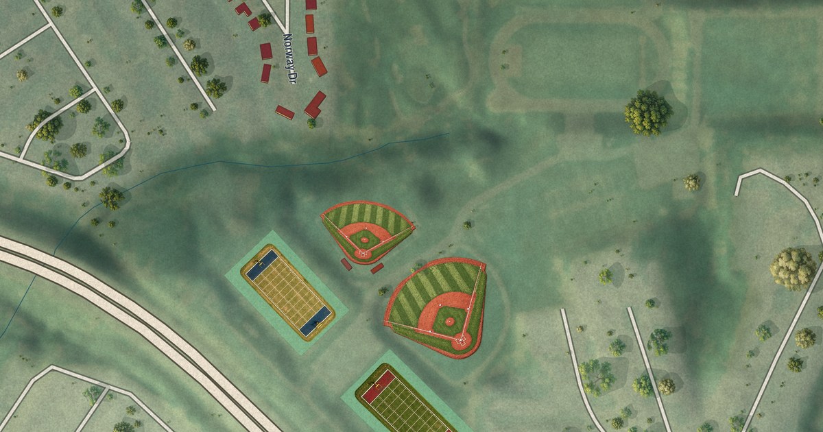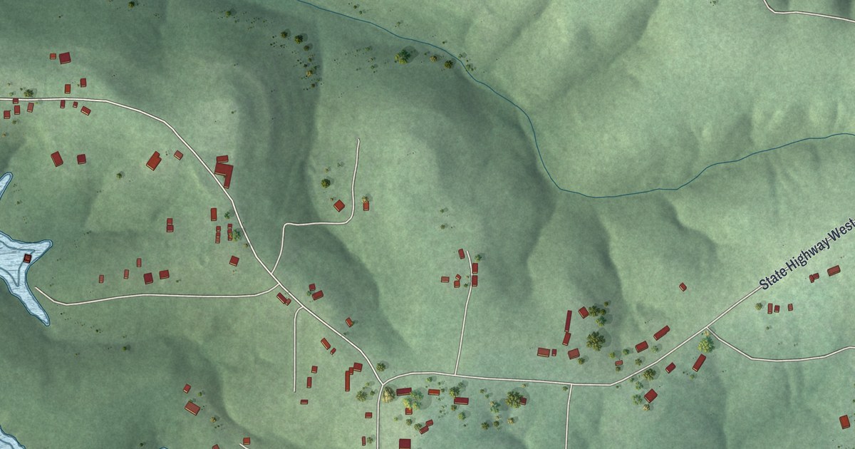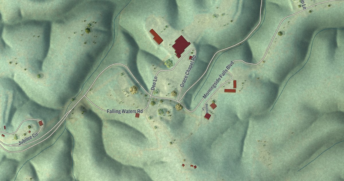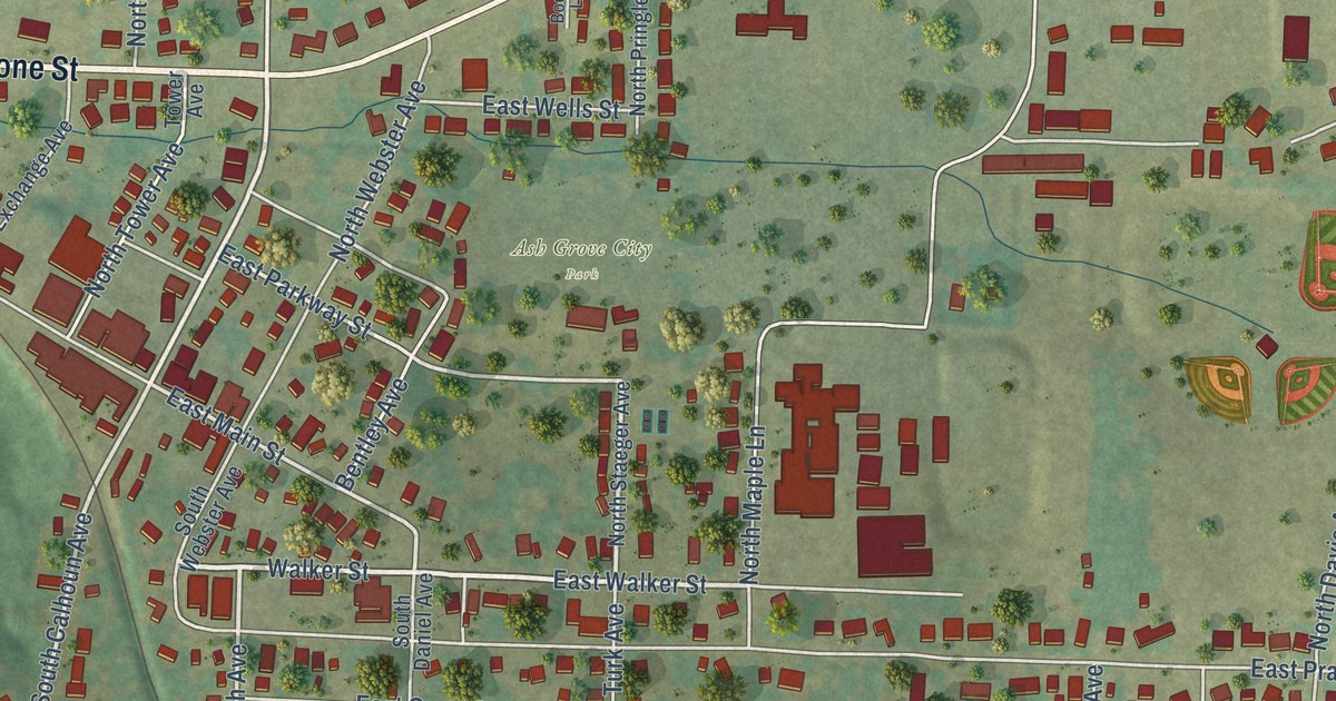
This beautifully detailed map of Ash Grove, Missouri was created in 2026 using aerial imagery combined with modern topographical, census, street and landmark data. It’s a one-of-a-kind view of Ash Grove that combines accurate data with a vintage aesthetic. The map shows every building in its true location, many of the roads carry their names, and the shaded topographic relief shows the shape of the land.
Explore an aerial view of Ash Grove, Missouri
On the map you’ll find Ash Grove City Park and North FM Road 33, along with West Boone Street, East Boone Street, Walker Street, East Murray Street, East Walker Street, South Calhoun Avenue, South Sayre Avenue, East Parkway Street, South High Avenue, East Main Street, and more. If you look closely you can even find your house accurately drawn in its correct location. Zoom in on the preview to look for yours.
Did you know this piece of Ash Grove, Missouri history?
Ash Grove takes its name from a stand of ash trees near the first town site. A post office by that name opened in 1849, and the town was laid out in 1853. The homestead of Nathan and Olive Boone is now a state historic site.
Take a closer look at the Ash Grove map
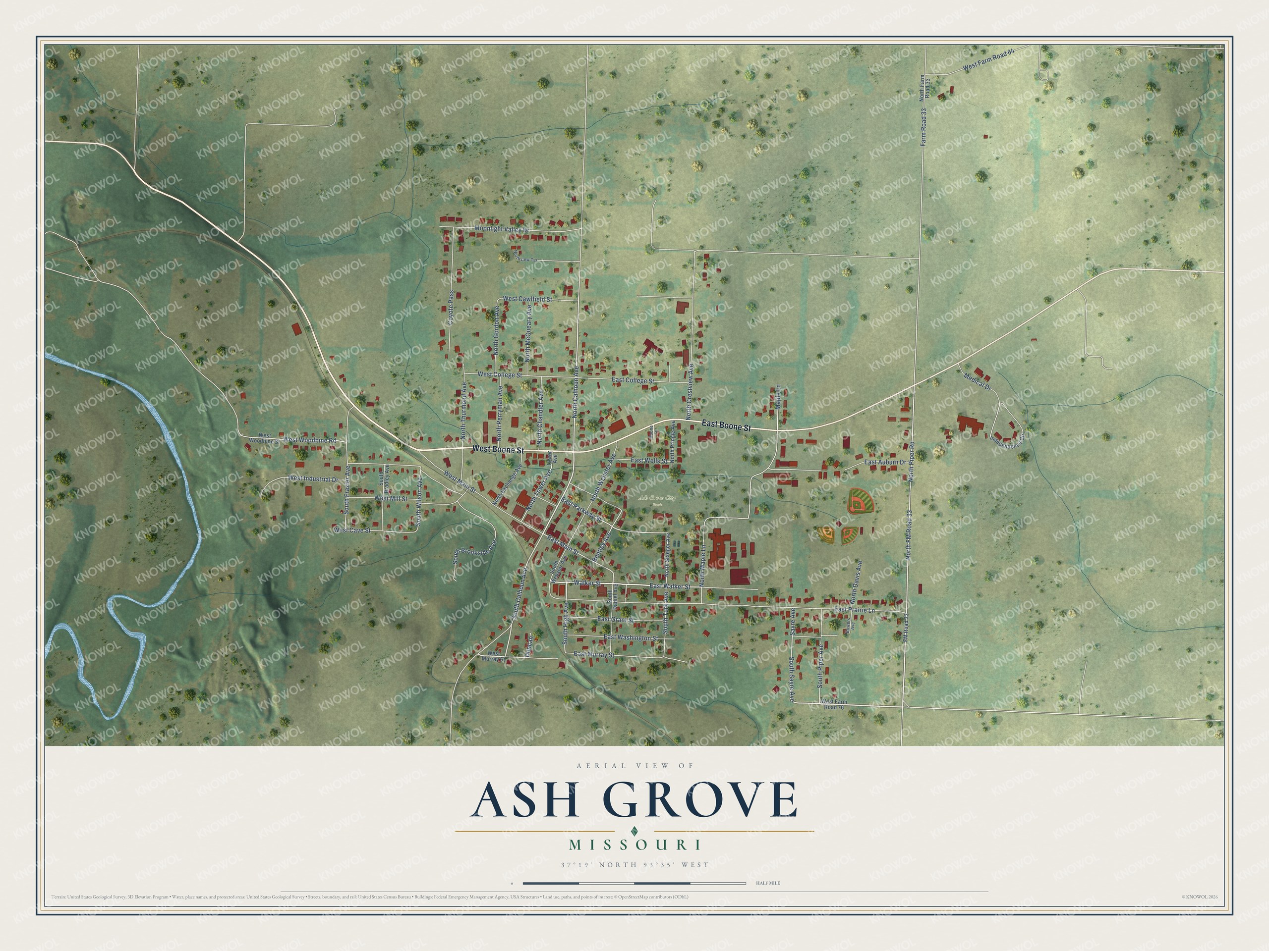
Street and place names on the Ash Grove, Missouri map
These names are printed on the map of Ash Grove, Missouri.
Places: Ash Grove City Park.
Streets and roads: West Boone Street, East Boone Street, Walker Street, East Murray Street, East Walker Street, South Calhoun Avenue, South Sayre Avenue, East Parkway Street, South High Avenue, East Main Street, North FM Road 33, North Piper Road.
More street names, A to Z
Bentley Avenue, Boone Lane, Bowers Avenue, Coyote Pass, Duncan, East Auburn Drive, East College Street, East Grant Street, East Prairie Lane, East Washington Street, East Wells Street, Farm Road 33, FM Road 33, Independence Circle, Maple Lane, Medical Drive, Moonlight Valley Drive, North Calhoun Avenue, North Chandler Avenue, North Crestview Avenue, North Davis Avenue, North Exchange Avenue, North Farm Road 33, North Gordon Avenue, North Maple Lane, North McQueary Avenue, North Perryman Avenue, North Pringle Avenue, North Staeger Avenue, North Thurmond Avenue, North Tower Avenue, Northview Terrace, North Webster Avenue, Sayre Avenue, South Bradley Avenue, South Brookside Avenue, South Daniel Avenue, South Frazier Avenue, South Piper Avenue, South Turk Avenue, South Webster Avenue, South Wilson Avenue, Tower Avenue, West Cave Street, West Cawlfield Street, West College Street, West Farm Road 64, West Farm Road 76, West Industrial Drive, West Main Street, West Mill Street, West Murray Street, West Woodbine Road, West Woodbine Street.
See the Ash Grove, Missouri map on a wall
The Ash Grove map as an 18 x 24 inch print in a black frame.

This beautifully detailed map of Ash Grove makes an attractive addition to your office, library, or den, and it can even be used to teach children the geography and history of the area. It also makes a great gift for someone who left Ash Grove and still calls it home. When you’re done exploring, click here to get your copy of the Ash Grove map.