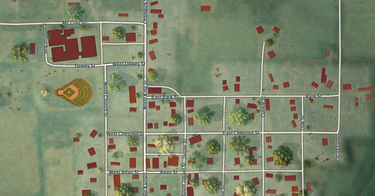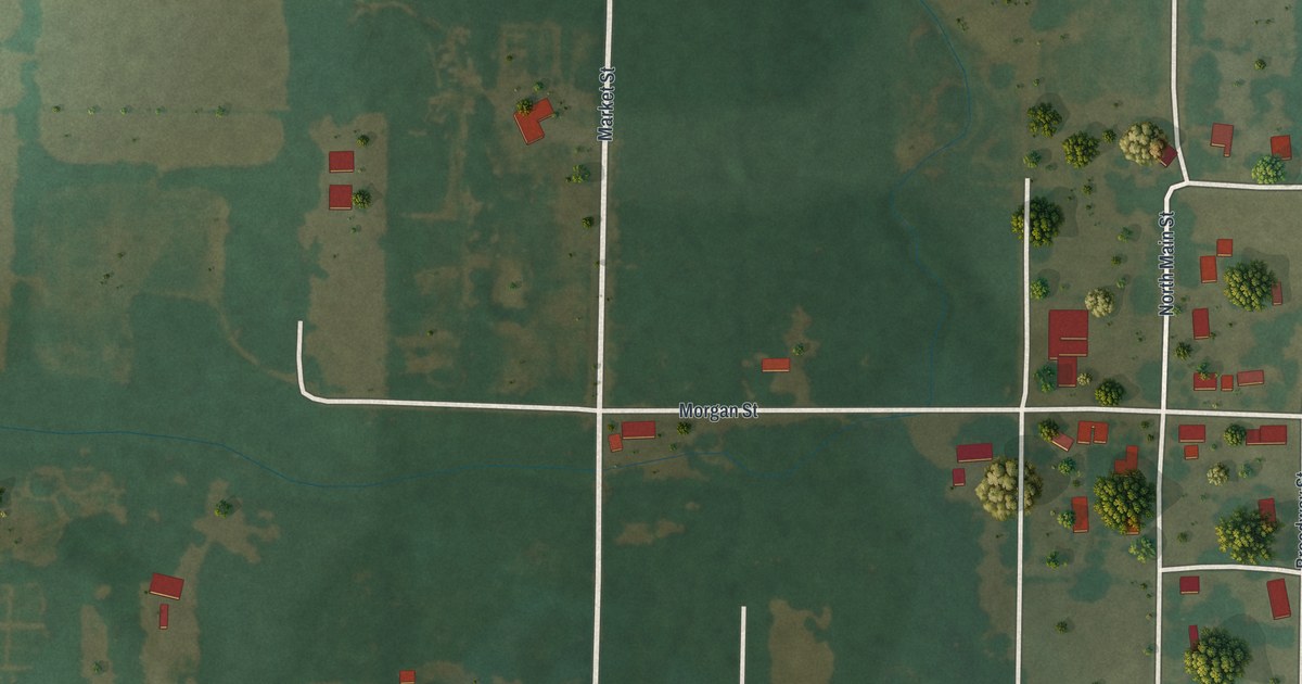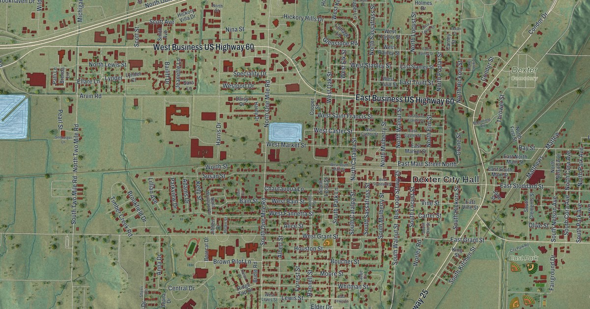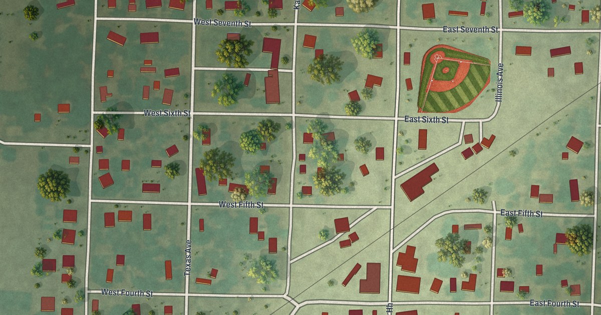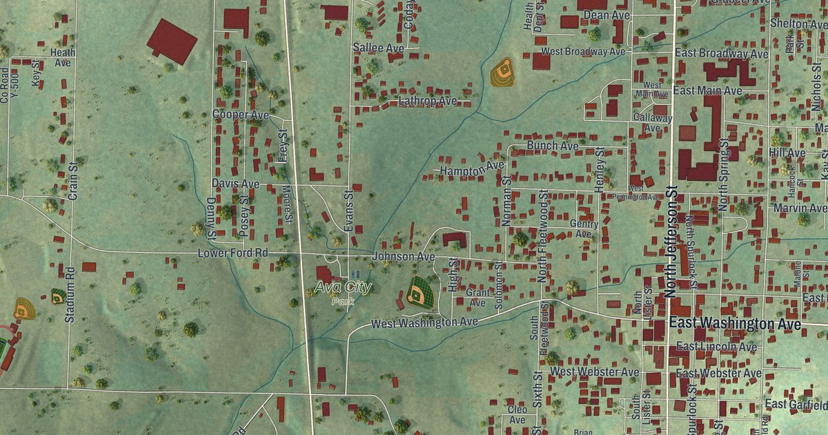
If you grew up in Ava, look for your old street on this print. It's a modern aerial view of Ava in Douglas County, Missouri, made with modern data and a vintage feel. Red buildings fill the town's blocks, with green hills and thin blue streams around them.
Ava's streets and its Bible name
On this map you'll find North Jefferson Street, South Jefferson Street, Springfield Road, East Washington Avenue, West Washington Avenue, East Main Avenue, West Main Avenue, East Ozark Avenue, West Webster Avenue, North Mansfield Road, and more. Each red shape is a building, so zoom in on the preview and look for yours.
Ava's name comes from a Bible verse, according to the State Historical Society of Missouri's place-name account. The account points to 2nd Kings 17:24. That short name gets plenty of room on this print. You'll see AVA in large letters in the cream title panel below the town's streets and hills.
Keep Ava and Springfield Road close
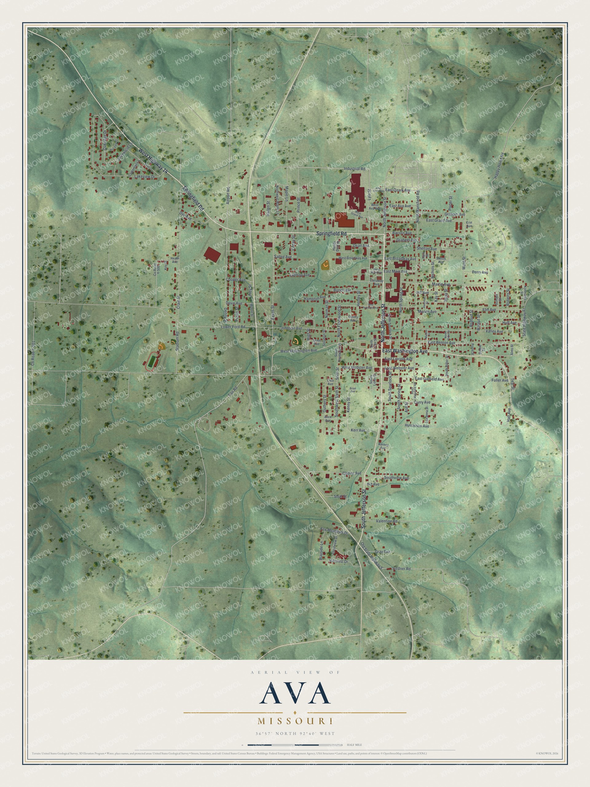
Created by KNOWOL in 2026, the print pairs soft green hills with red buildings, pale roads and blue streams. A thin border surrounds the view. The cream title panel reads AERIAL VIEW OF, AVA, MISSOURI, and 36°57' NORTH 92°40' WEST.
Hang it in a living room, office or entryway. It's a gift for someone who grew up near Springfield Road and now lives far from Ava. Open the preview to look for a familiar block and read the street names. See sizes and frames for the Ava map.