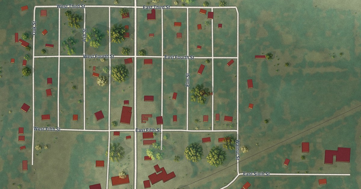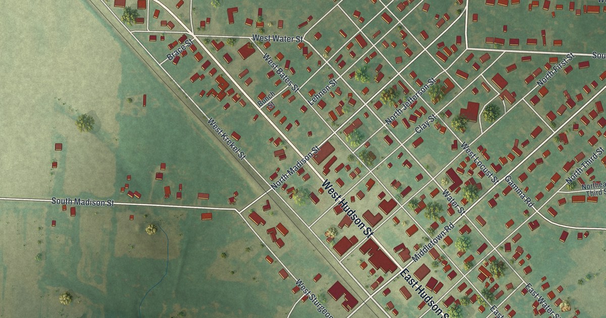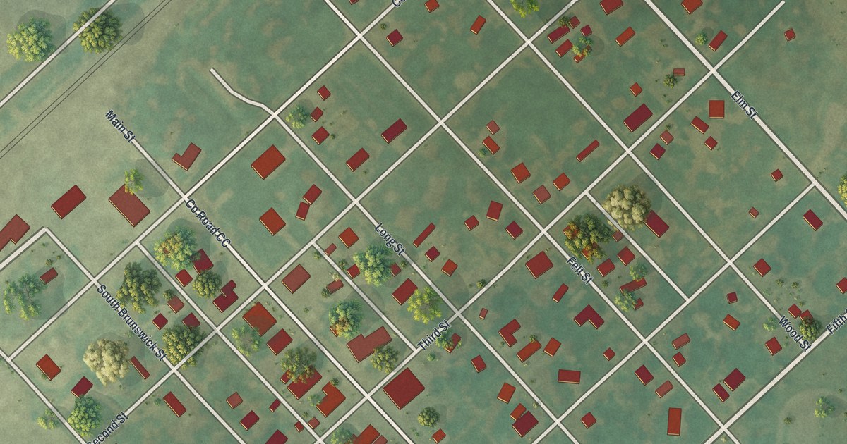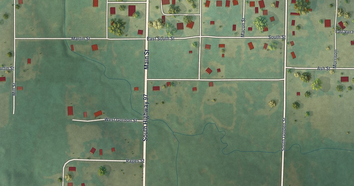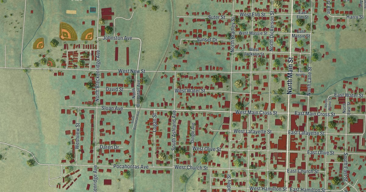
If you grew up in Palmyra, or you still have family on North Main Street, this map was made with you in mind. It's a new aerial view of Palmyra in Marion County, Missouri, made from modern data with a vintage feel. Soft green hills roll around the edges. Blue water curls across the top. The town fills the middle, with white streets and small red buildings packed close along Main Street.
From North Main Street to Greenwood Cemetery
On this map you'll find North Main Street, South Main Street, West Ross Street, East Main Cross Street, West Lafayette Street, East Hamilton Street, North Spring Street, South Dickerson Street, North Breckenridge Avenue, Johnston Avenue, Greenwood Cemetery, Flower City Park, Hinds Park, Dodge City, and more. Each red shape is a building, so zoom in on the preview and look for yours.
Palmyra, the first settlement in Liberty Township
Palmyra is an old town. The State Historical Society of Missouri keeps a file of place names gathered from 1928 to 1945. That file says Palmyra has had a post office since 1830. It also calls Palmyra the first settlement in Liberty Township. The town sits twelve miles northwest of Hannibal. The Mississippi River is about seven miles away.
National Register houses on Main Street and Ross Street
Several Palmyra buildings are on the National Register of Historic Places. The Gardner House is at Hamilton and Main. The Dryden-Louthan House is at 402 East Ross Street. The Speigle House is on South Dickerson Street. The Marion County Jail and Jailor's House is at 210 West Lafayette Street. The Walker-Woodward-Schaffer House is at 1425 South Main Street. Find those streets on the map, and you'll see the blocks where these houses stand.
Keep Palmyra and North Main Street close
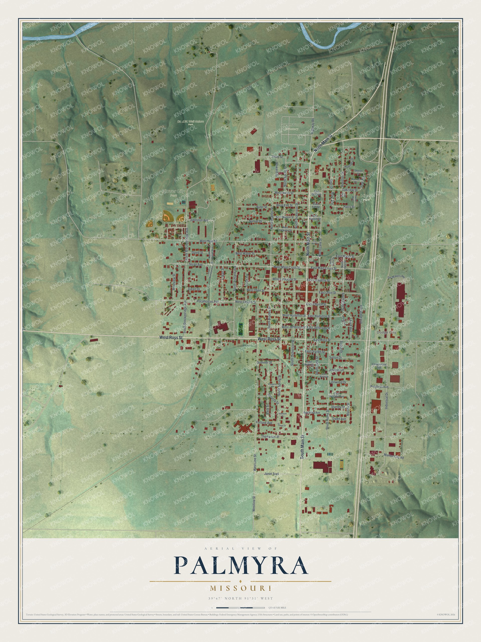
Created by KNOWOL in 2026, this print shows Palmyra from above in soft greens, with red buildings, white roads and blue water. The title panel reads Aerial View of Palmyra, Missouri, with 39°47' North 91°31' West set beneath it.
It suits a living room, a hallway or a home office. It makes a good gift for someone who moved away and still remembers North Main Street, Flower City Park or the Dryden-Louthan House on East Ross Street. Open the preview and find your own street first. See sizes and frames for the Palmyra map.