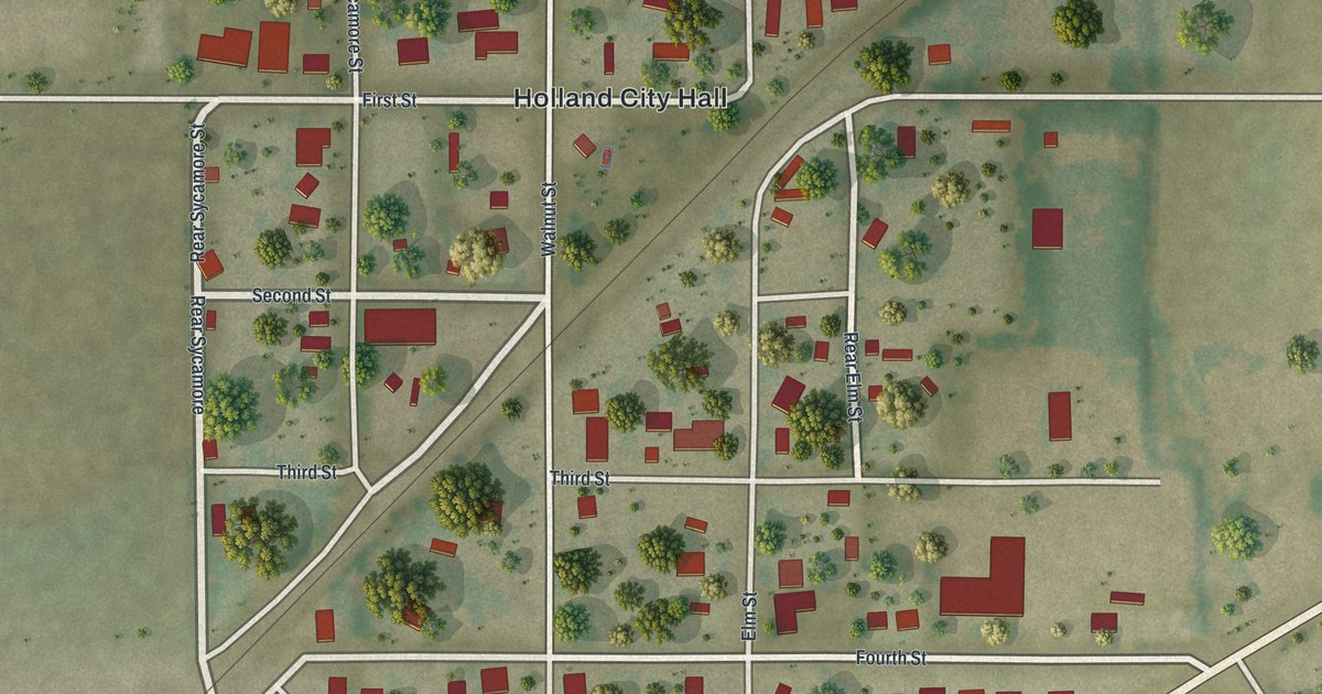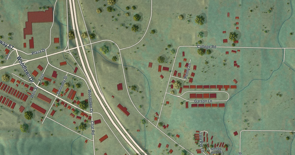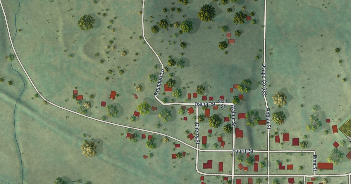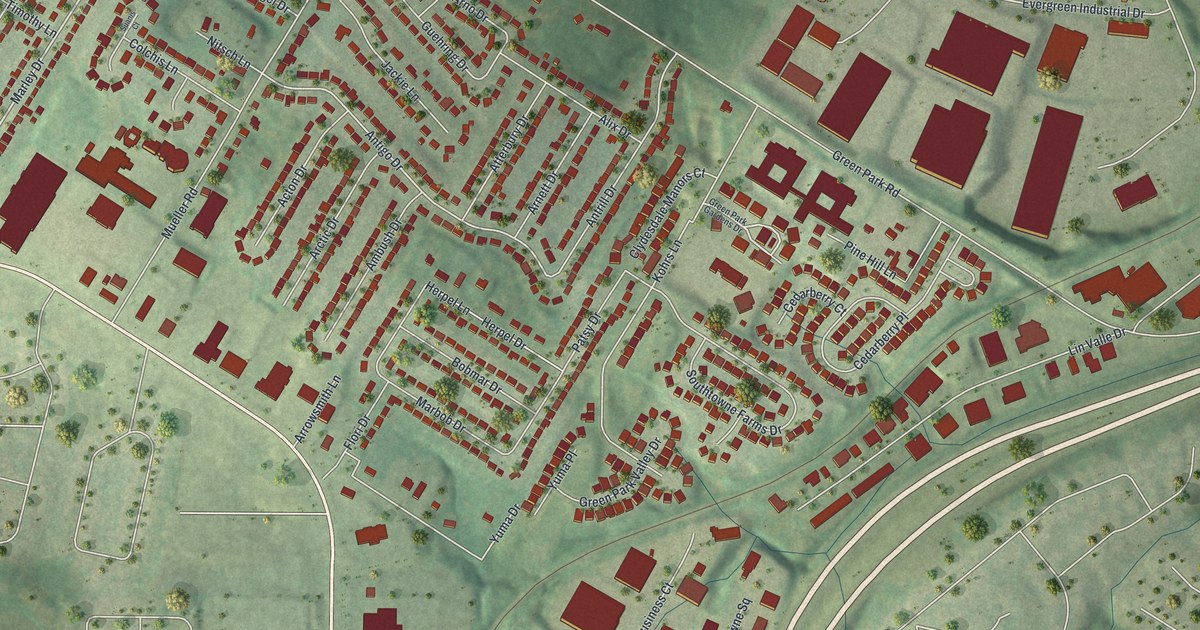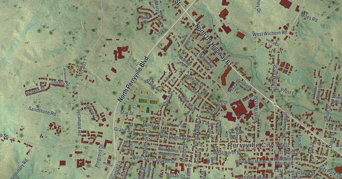
If you grew up in Perryville, or your family still lives off Saint Joseph Street, you'll know these blocks. This is a modern aerial view of Perryville in Perry County, Missouri, built from modern data with a vintage feel. The town sits in the middle of green, rolling hills. Thousands of small red buildings crowd around Perryville City Hall. A blue lake lies off to the west, and quiet farm country fills the edges.
Cinque Hommes Drive and Perryville's first settler
On this map you'll find North Kingshighway Street, Perryville City Hall, North Main Street, South Main Street, West Saint Joseph Street, East Saint Joseph Street, North Perryville Boulevard, Veterans Memorial Parkway, South Spring Street, Jefferson Street, Church Street, Cinque Hommes Drive, Big Spring Boulevard, and more. Each red shape is a building, so zoom in on the preview and look for yours.
Perryville's story starts with two creeks. The State Historical Society of Missouri keeps an old file of Missouri place names. It says the first settlement here was made in 1801 by Isadore Moore. He settled between the forks of the Saline and Cinque Hommes creeks. The name lives on in Cinque Hommes Drive, which is printed on the map.
Old homes on Saint Joseph Street
Three Perryville homes are on the National Register of Historic Places. The Shelby-Nicholson-Schindler House is at 701 West Saint Joseph Street. It was listed in 1974. The Doerr-Brown House is at 17 East Saint Joseph Street, and it was listed in 1980. The newest is the Faherty House at 11 South Spring Street, added in 2025. Two of them sit on West Saint Joseph Street and East Saint Joseph Street, both printed on the map.
Keep Perryville and Saint Joseph Street close
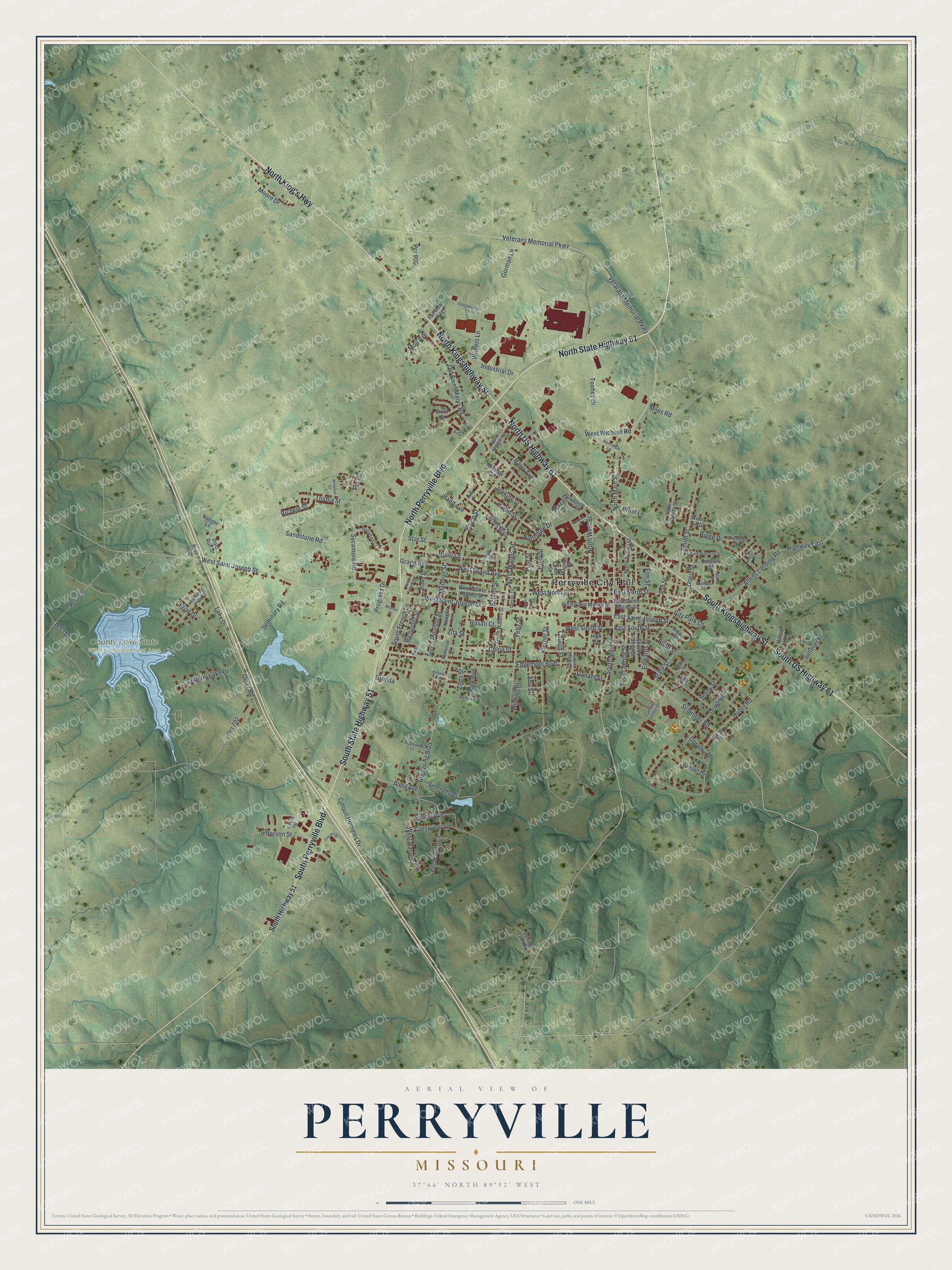
Created by KNOWOL in 2026, this print shows Perryville from above. Shaded green hills surround the town, the buildings are red, and a blue lake sits to the west. The title panel reads Aerial View of Perryville, Missouri, with the coordinates 37°44' North 89°52' West.
It fits a living room, a home office or the hallway by the front door. It's a good gift for someone who moved away from Perryville, or for a family with a house on Saint Joseph Street. Open the preview and find your own block. See sizes and frames for the Perryville map.