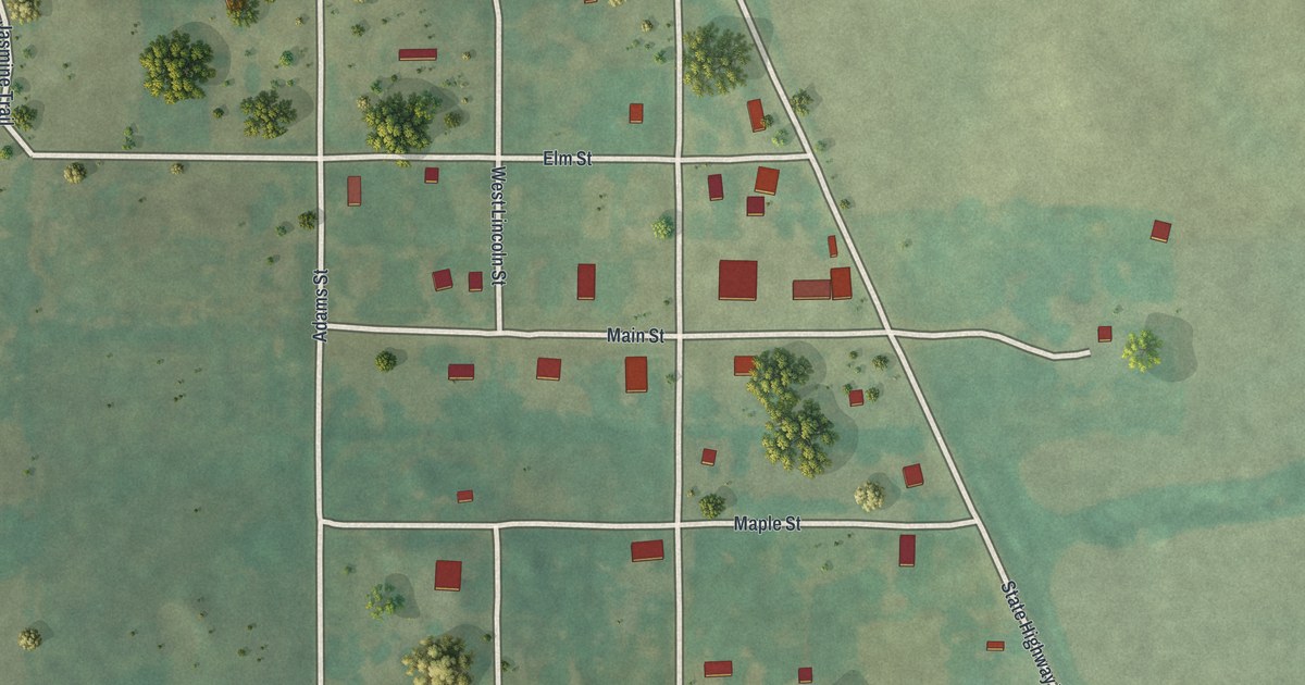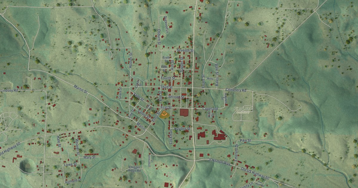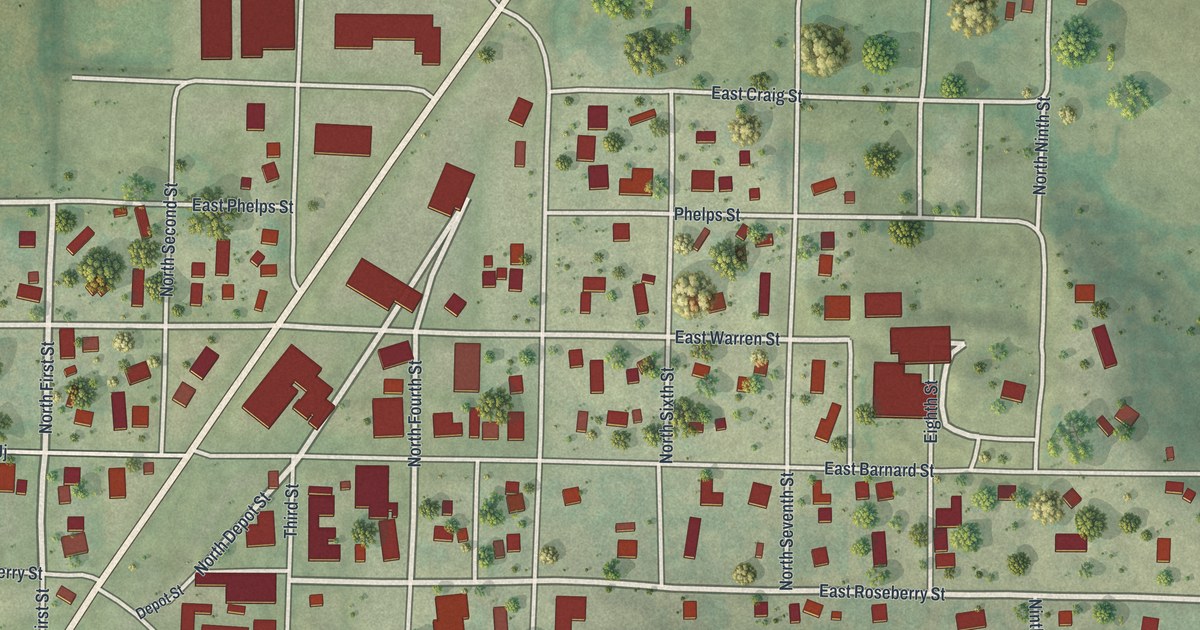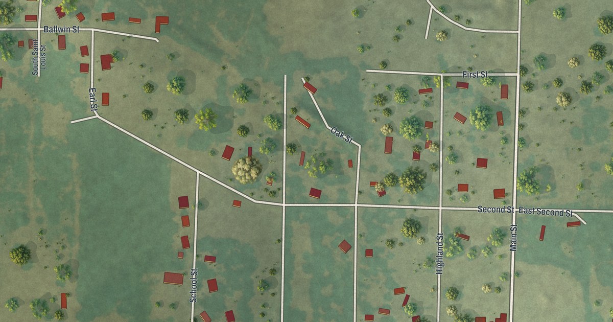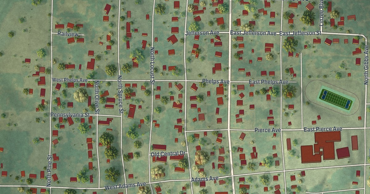
If you grew up in Pierce City, or you still picture Commercial Street, this map is for you. It's a new aerial view of Pierce City in Lawrence County, Missouri, made with modern data and a vintage feel. You'll see the rail line cutting across town, the ball fields up on Ball Park Road, and hundreds of buildings on the streets you know.
How Pierce City got its name from a railroad man
On this map you'll find West Commercial Street, East Commercial Street, North Elm Street, East Morris Avenue, Lindsey Boulevard, Front Street, Ball Park Road, North Walnut Street, West Main Street, East Adams Avenue, West Newman Avenue, Pierce City Park, Pierce City Cemetery, and more. Each red shape is a building, so zoom in on the preview and look for yours.
Pierce City's name comes from the railroad. The town was named for Andrew Peirce of Boston. He was for some time a president of the Frisco Railroad. That's how the State Historical Society of Missouri tells it in its old place names file. Note the spelling of his name: Peirce, with the e first. On the print, the rail line still runs across town just below Commercial Street. Front Street runs right beside it.
Two buildings on the map are on the National Register of Historic Places. The Lawrence County Bank Building stands at 100 West Commercial Street. The Pierce City Fire Station, Courthouse and Jail is on Walnut Street.
Commercial Street and the rail line on your wall
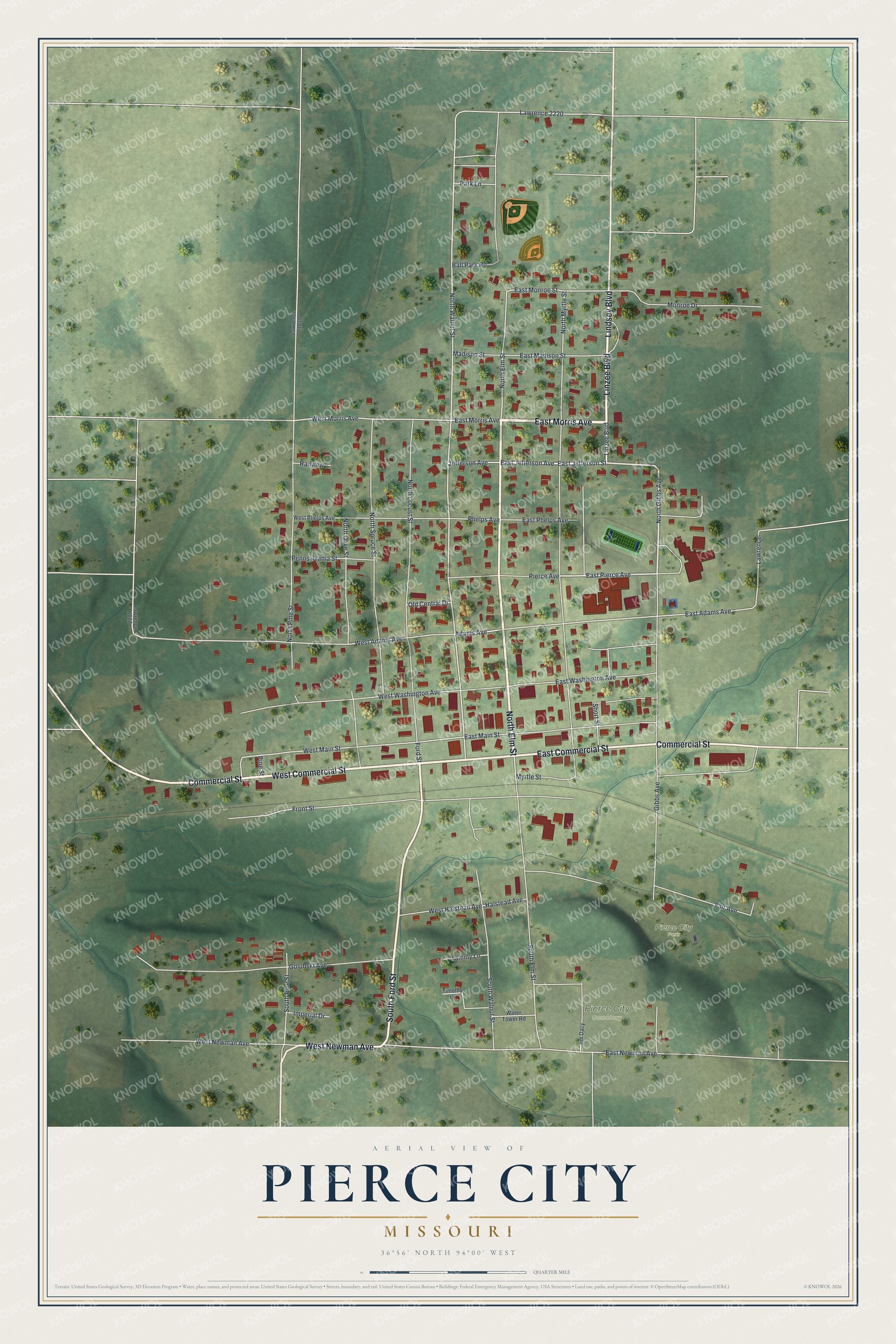
Created by KNOWOL in 2026, this print shows Pierce City from above in soft greens, with shaded hills, trees, and red rooftops. The title panel reads "Aerial View of Pierce City, Missouri" with the coordinates 36°56' North 94°00' West.
It fits a living room, a front hall, or an office. It's a good gift for anyone who knows Ball Park Road or Commercial Street, and for anyone from Pierce City who lives far away now. Open the preview and find the streets you remember. See sizes and frames for the Pierce City map.