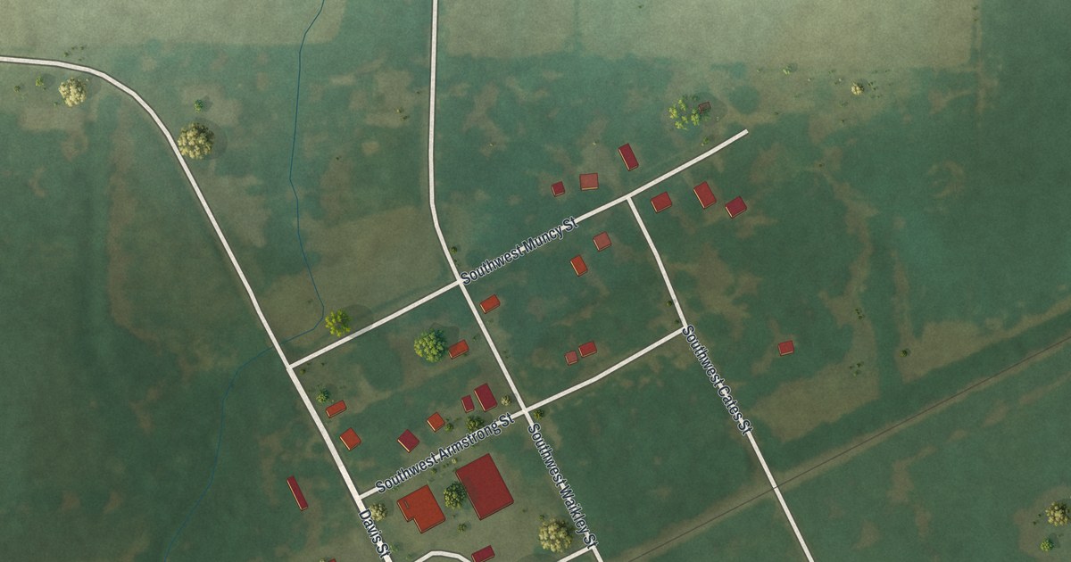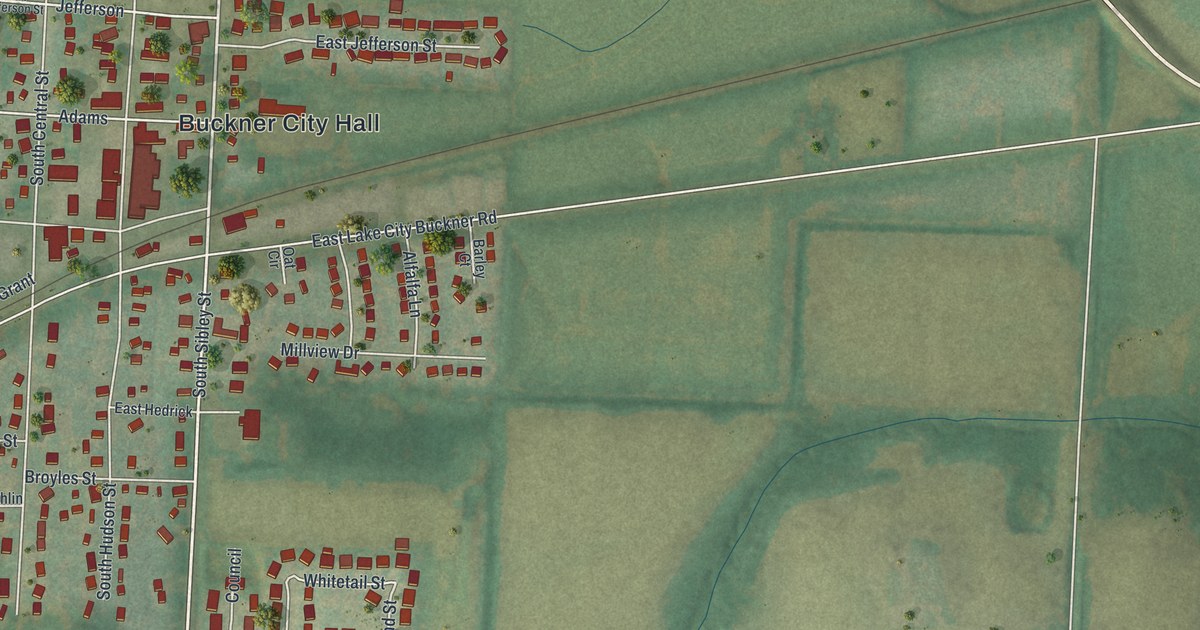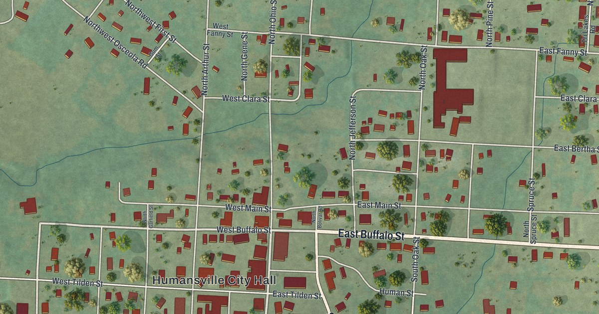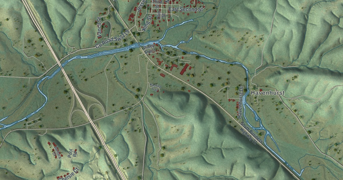
If you grew up in Pineville or still have family near the old courthouse on Main Street, this map was made with you in mind. It's a new aerial view of Pineville in McDonald County, Missouri, drawn from modern data and given a vintage look. Deep green hills fold in from every side. A blue river winds across the middle of the sheet, and the town's small grid of streets sits right where the water bends.
Main Street and the streets of Pineville
On this map you'll find Main Street, Third Street, East Second Street, Fifth Street, Eighth Street, King Street, Clay Street, Olin Street, Vancil Street, Old US Highway 71, Big Sugar Road, Jesse James Road, Pleasant Ridge Road, Havenhurst Drive, Havenhurst, and more. Each red shape is a building, so zoom in on the preview and look for yours.
How Pineville became the McDonald County seat
Pineville wasn't always the county seat. The county's first vote picked Rutledge. The two towns then contended over it. The 1897 history of McDonald County says two sets of officers each claimed the job. Rival courts met at the same time, one in Pineville and one in Rutledge. The seat was finally fixed at Pineville in 1857. Two buildings from that county seat past are now on the National Register of Historic Places. The Old McDonald County Courthouse stands at 400 North Main Street. The Old McDonald County Jail is at 200 East Third Street. Find where Main Street and Third Street meet on the map, and you're right beside them.
Where Big Sugar and Little Sugar creeks meet
The same history explains the water you see on the sheet. Big Sugar Creek and Little Sugar Creek join at Pineville. Together they form the Elk River, which the book also calls the Cowskin. The book says both creeks got their names from the sugar maples that once grew thick along their banks. Big Sugar Road still carries the name today. Some of the county's first families settled near here around 1840. One of them, Hugh L. Testerman, came in 1839 and farmed a quarter mile east of town for more than fifty years.
The town itself was surveyed for Samuel Burke in 1847 and became a city in 1873. The State Historical Society of Missouri keeps two stories about the name. One says it came from a pine forest nearby. The other says it was named for Pineville in Bell County, Kentucky.
A Pineville map for home or for someone far away
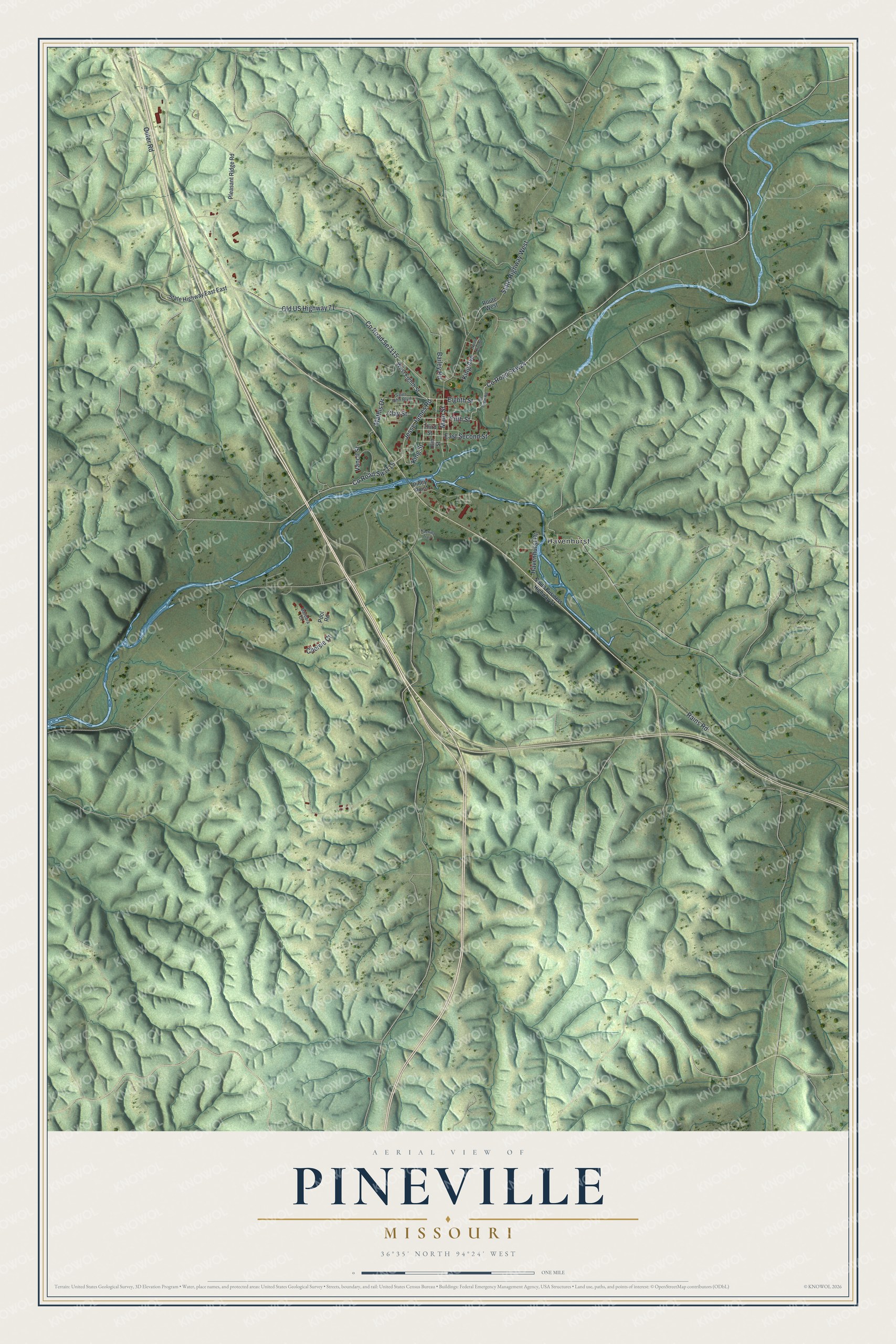
Created by KNOWOL in 2026, this print shows Pineville's hills in soft greens and shadow, with the rivers in blue and every building in red. The title panel reads "Aerial View of Pineville, Missouri" with the coordinates 36°35' North 94°24' West.
It fits a living room, a front hall or an office wall. It's a good gift for anyone who remembers the old courthouse on Main Street, or who grew up in the town where the Sugar creeks meet. Open the preview and look for your own street. See sizes and frames for the Pineville map.