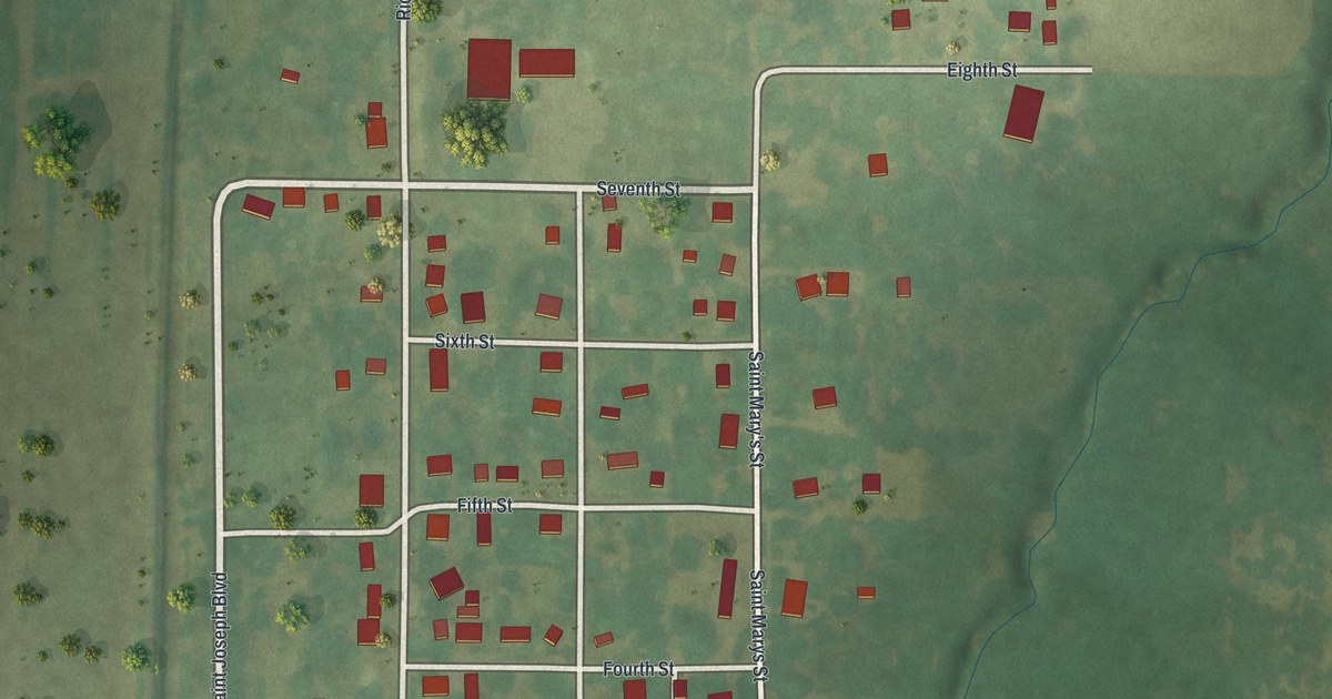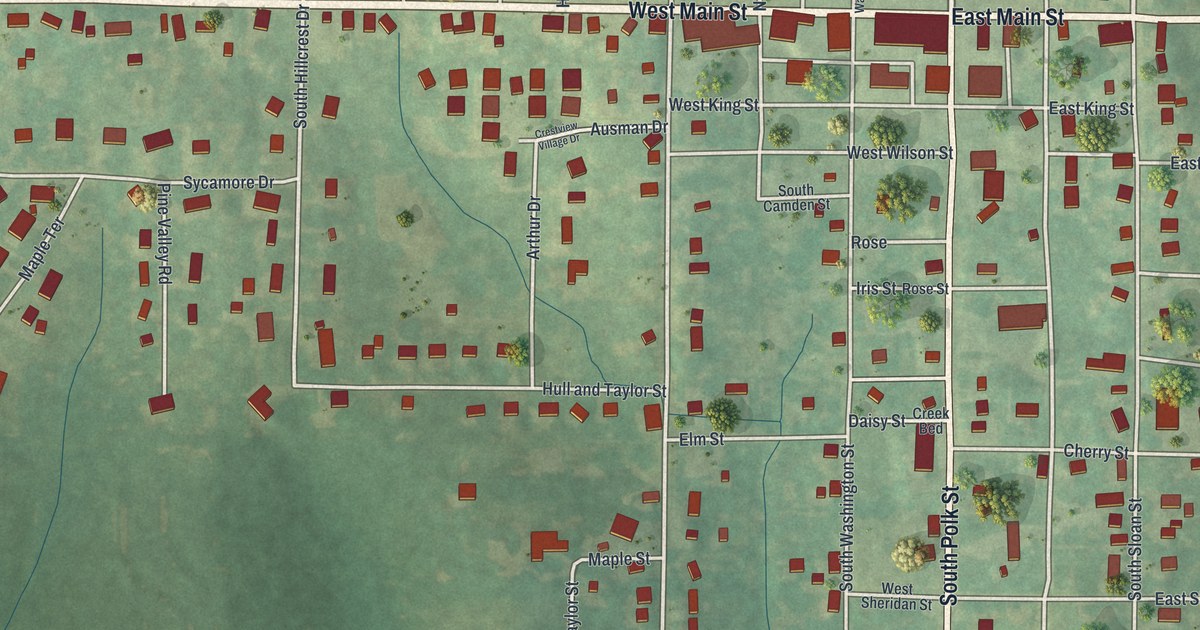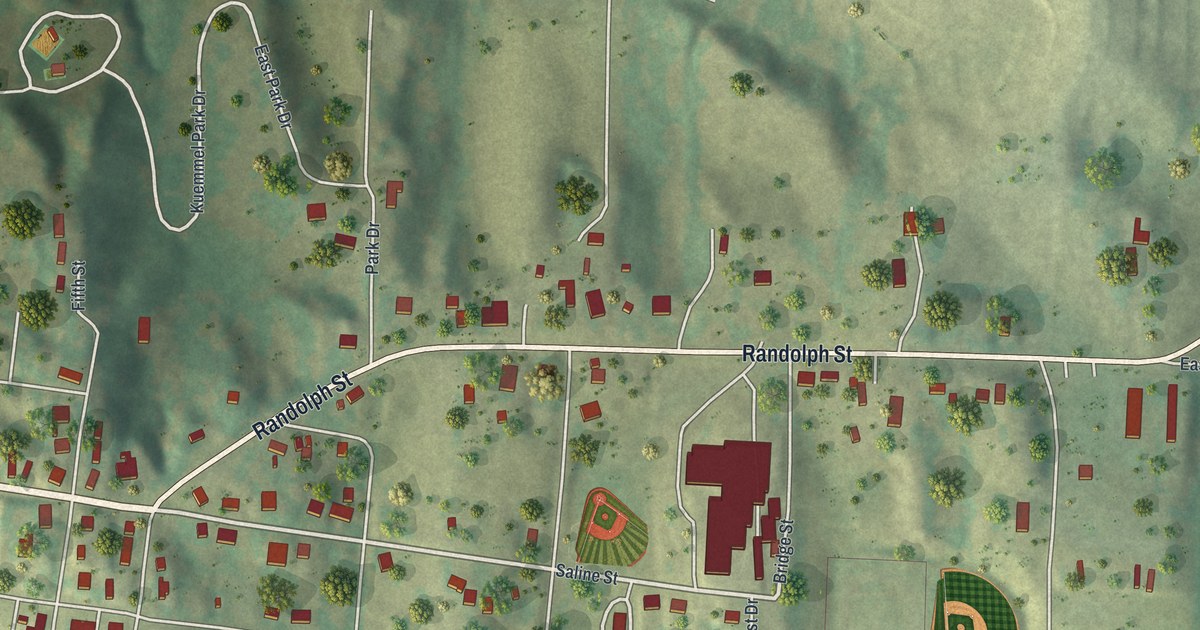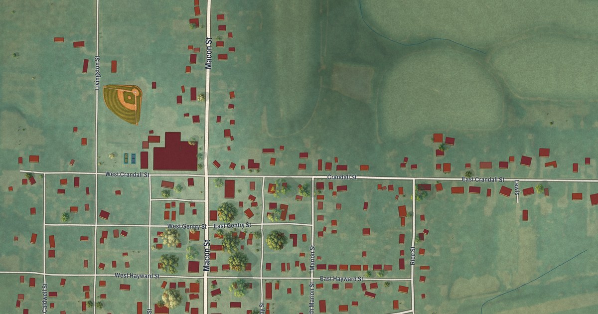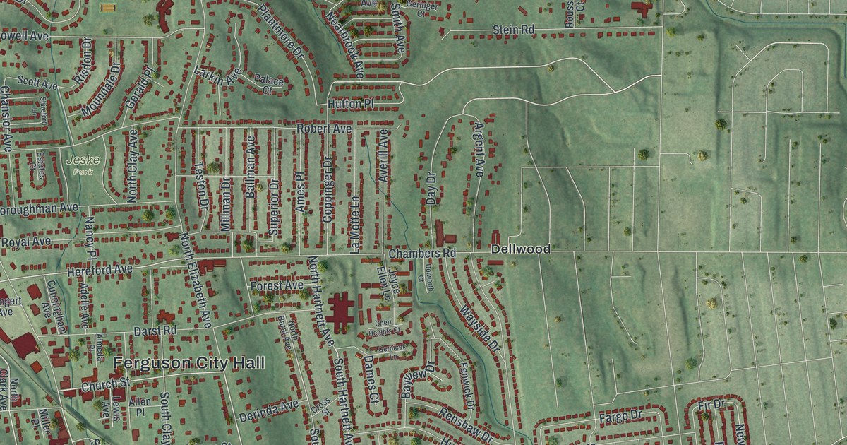
If you grew up in Ferguson, or you still know your way down Church Street, this map is for you. It's a modern aerial view with a vintage feel, made from modern data, showing Ferguson in St. Louis County, Missouri. Soft green hills roll across the sheet. Thousands of small red buildings fill the blocks around Ferguson City Hall. A rail line cuts across the middle of town on a slant, and Hudson Park, Jeske Park and Forestwood Park show up as named green spots.
From Church Street to Pershall Road
On this map you'll find Church Street, South Florissant Road, North Florissant Road, West Florissant Avenue, Wesley Avenue, Pershall Road, Airport Road, New Halls Ferry Road, Hudson Road, Chambers Road, Ferguson City Hall, Jeske Park, Hudson Park, Central City Shopping Center, and more. Each red shape is a building, so zoom in on the preview and look for yours.
Ferguson's post office and its 1894 start
Ferguson's story as a town goes back a long way. The State Historical Society of Missouri keeps an old file of Missouri place names, gathered between 1928 and 1945. It says Ferguson has had a post office since 1876. It also says the town was incorporated in 1894. That's the year it became its own city. Today the map draws more than 21,000 buildings in red across the town and the land around it.
Church Street and Ferguson's National Register places
Some of that past is still standing. The Church Street Commercial District was added to the National Register of Historic Places in 1984. The Ferguson School Central School, at 201 Wesley Avenue, joined the list that same year. Wildwood House, at 40 Dames Court, was added in 2006. The John C. and Georgie Atwood House, at 100 South Clay Avenue, followed in 2018. Church Street, Wesley Avenue, Dames Court and South Clay Avenue are all printed on the map, so you can find each spot.
A map of Ferguson, from Hudson Park to Cool Valley
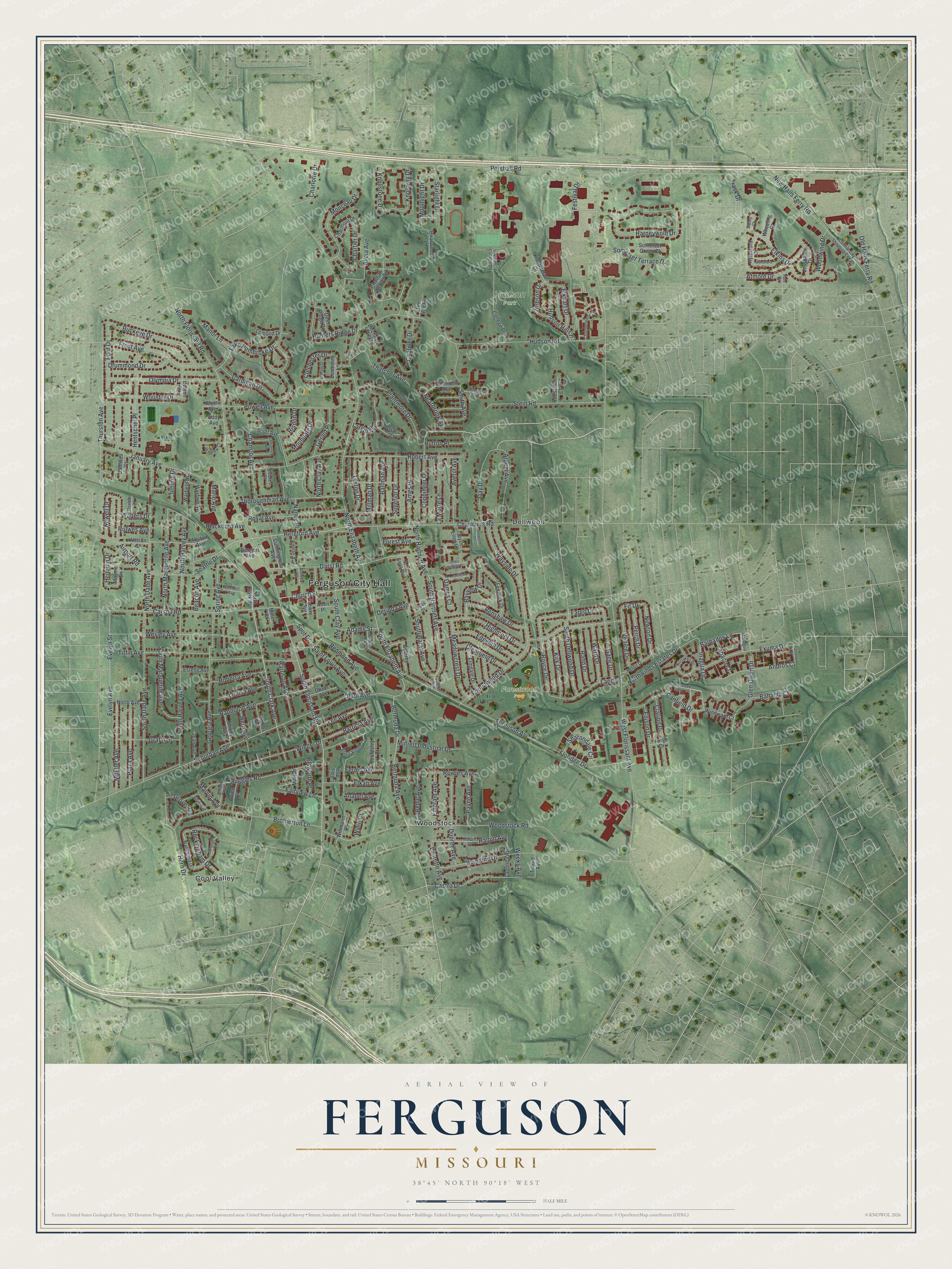
Created by KNOWOL in 2026, the print shows Ferguson in soft green shaded hills, with red buildings and thin light street lines. The cream title panel reads "Aerial View of Ferguson, Missouri" with 38°45' North 90°18' West set below it.
It fits a living room, a hallway or a home office. It's a good gift for someone who grew up near Jeske Park or shopped on Church Street and has since moved away. Open the preview and find your own street. See sizes and frames for the Ferguson map.