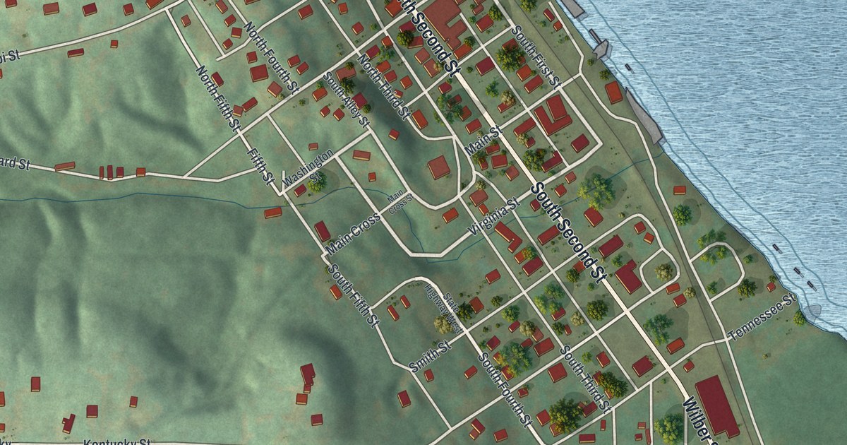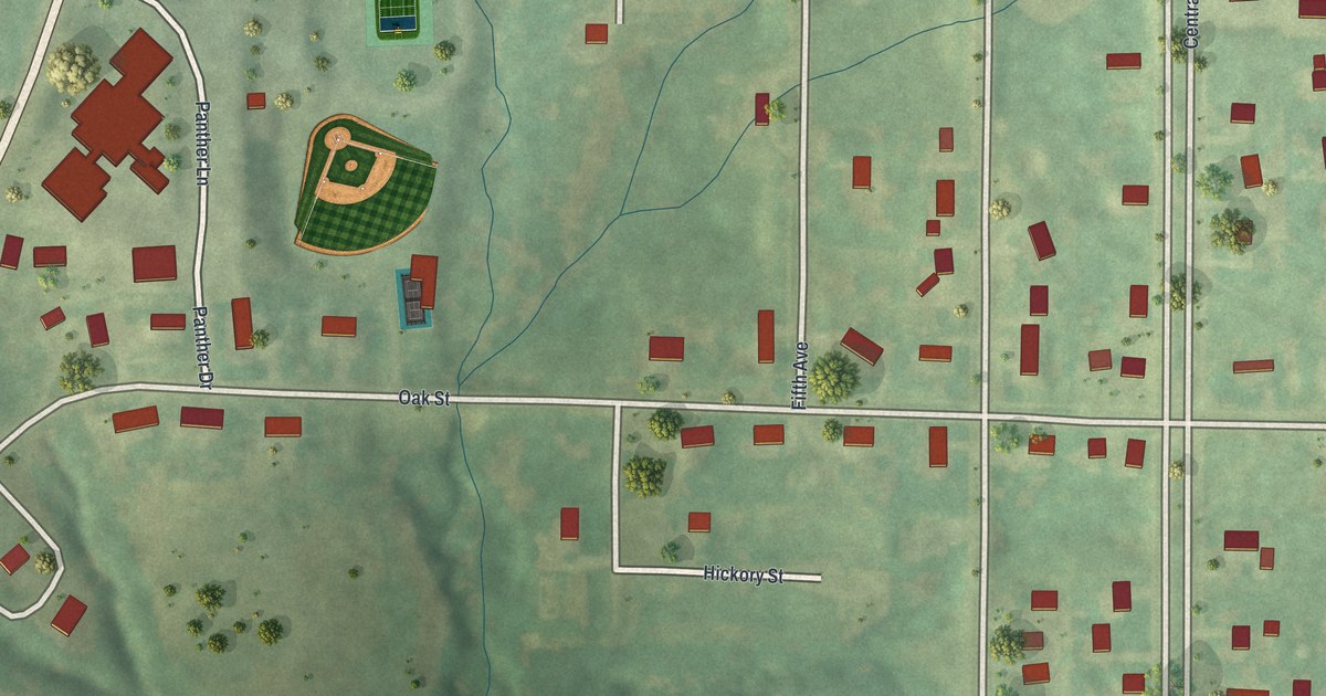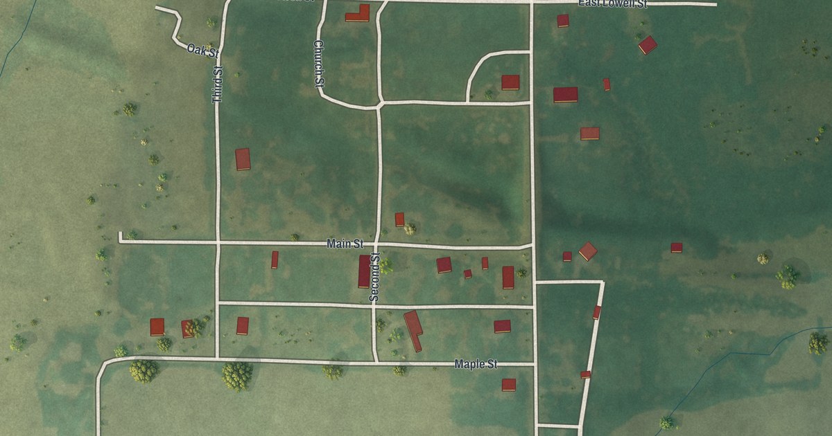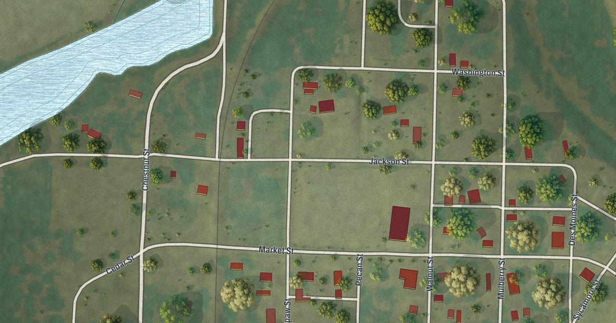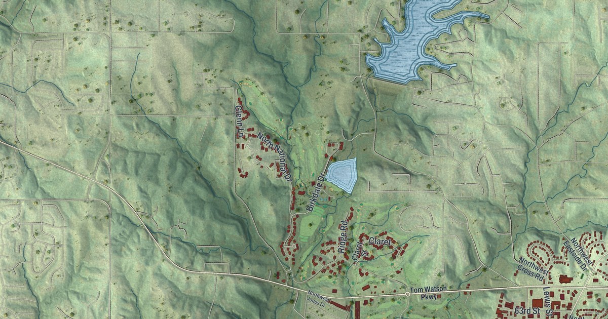
If you grew up in Parkville, walked down Main Street toward the river, or have family in the hills above town, this map gives you plenty to find. It's a modern aerial view of Parkville in Platte County, Missouri, made from modern data and given a vintage look. A wide blue river curves across the bottom of the sheet. Green shaded hills fill the rest, and Parkville City Hall sits just right of center with the town's buildings drawn in dark red around it.
From Parkville City Hall down Main Street to the river
On this map you'll find Main Street, Parkville City Hall, Platte Landing Park, Tom Watson Parkway, Riss Lake Drive, Northwest 64th Street, East Street, Walnut Street, Northwest River Park Drive, West Street, Elm Street, Park College Circle, Parma Woods Conservation Area, and more. Each red shape is a building, so zoom in on the preview and look for yours.
Parkville's founder and an ox wagon trip to mill
An 1885 county history says a man named Park founded the town of Parkville. It calls him one of the most public-spirited citizens of the county. The same book mentions a farmer named David Greeg. He had been to mill at Parkville that day. He was heading home with his grists in an ox wagon. Look at the shaded hills behind Main Street and the river below town, both visible on the map.
Washington Chapel and Parkville's National Register places
The National Register of Historic Places lists several Parkville places. The National Register lists Washington Chapel C.M.E. Church at 1137 West Street, and West Street is printed near the bottom right of the map. Its records give the Benjamin Banneker School's address as 31 West Eighth Street. The Scott Memorial Observatory has its address on River Park Drive. The Mackay Building is at Park College. The Waddell "A" Truss Bridge crosses Rush Creek in English Landing Park.
The full Parkville map, hills to river
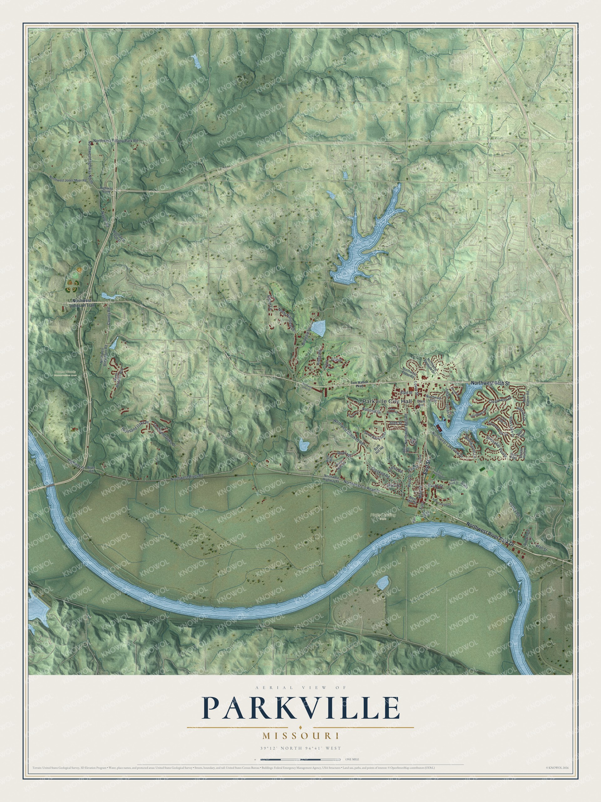
Created by KNOWOL in 2026, this Parkville map shows shaded hills, a blue river bending across the bottom and buildings drawn in dark red. The title panel reads "Aerial View of Parkville, Missouri" with the coordinates 39°12' North, 94°41' West.
It suits an office, a den or a kitchen wall. It's a gift for someone who grew up in Parkville, has family here, or moved away and wants a map of home. Open the preview, zoom in and find your street. See sizes and frames for the Parkville map.