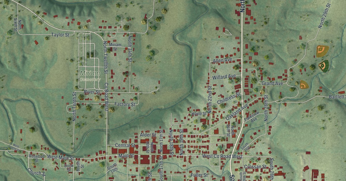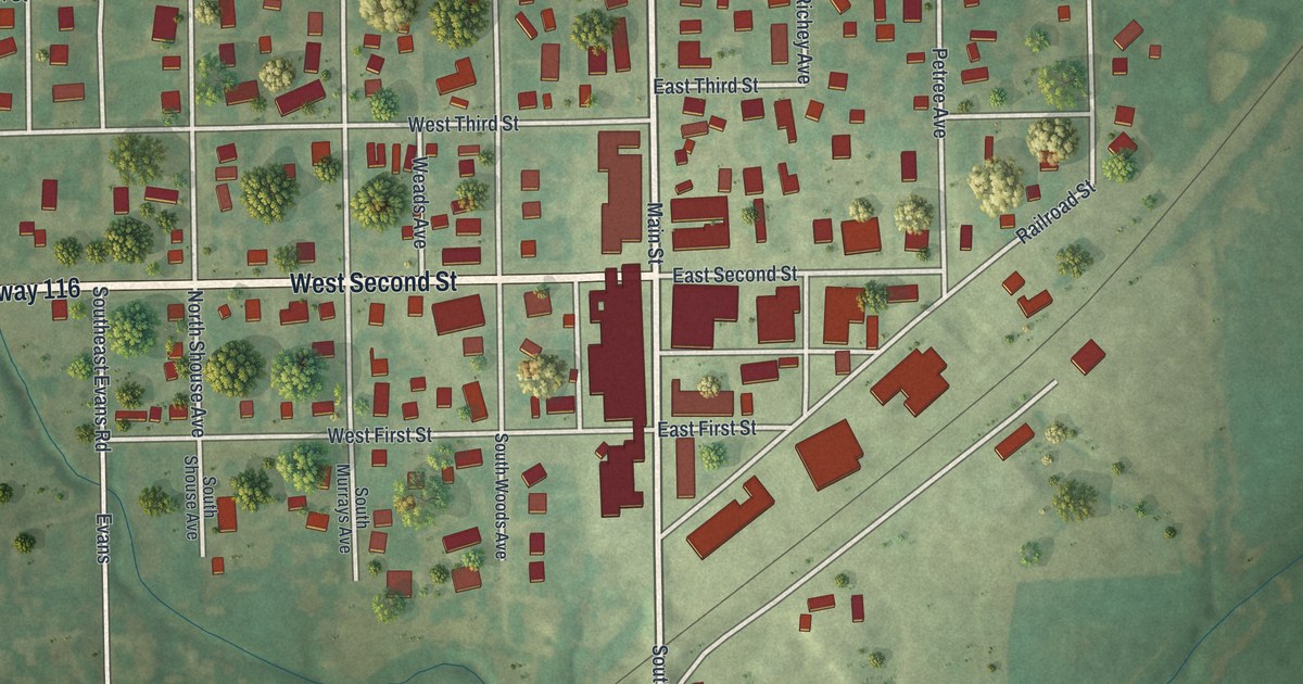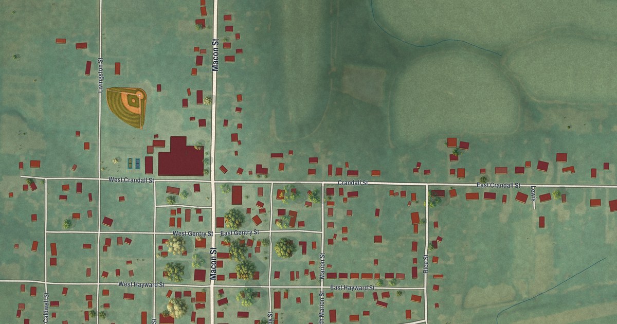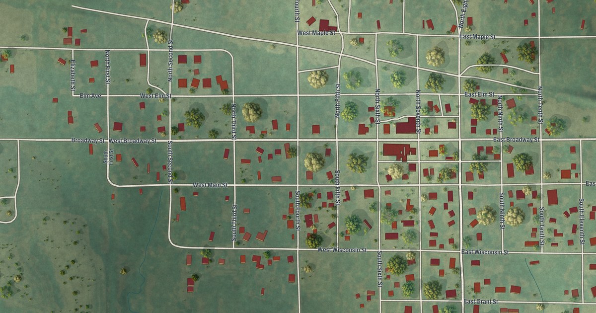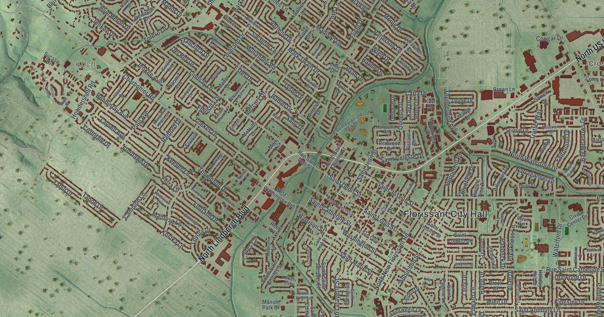
If you grew up in Florissant or still have family on its quiet side streets, this map was made for you. It's a modern aerial view with a vintage feel, drawn from modern data, showing Florissant in St. Louis County, Missouri. Soft green hills roll around a crowded town of small red building shapes. A wide blue river curves across the top left corner, and the old French street names sit right in the middle of it all.
From Rue Saint Denis to Dunn Road
On this map you'll find Florissant City Hall, North Lindbergh Boulevard, New Halls Ferry Road, North New Florissant Road, Rue Saint Denis, Saint Catherine Street, Saint Francois Street, Washington Street, Parker Road, Dunn Road, Koch Park, Sunset Park, Dunegant Park, Cross Keys, and more. Each red shape is a building, so zoom in on the preview and look for yours.
Why Florissant Was Once Called San Fernando
Florissant once had a Spanish name. The story is kept in the Ramsay Place Names File at the State Historical Society of Missouri. It says a writer named Schard found that the Baron de Carondelet called it a new settlement "by the name of San Fernando." That's Spanish for Saint Ferdinand. A writer named Perrin du Lac said people from St. Louis started the town in 1790. The historian Houck said no one knows the year of the first settlement. The old name still shows on the map. Look for Saint Ferdinand Park Drive.
The town's past is easy to find on its streets, too. The National Register of Historic Places lists more than 30 places in Florissant, and most were added in 1979. Casa Alvarez and the Archambault House stand on Rue Saint Denis. The Narrow Gauge Railroad Station is on Saint Catherine Street. The St. Ferdinand's Shrine Historic District sits between Cold Water and Fountain Creeks.
A Florissant Map to Keep or Give
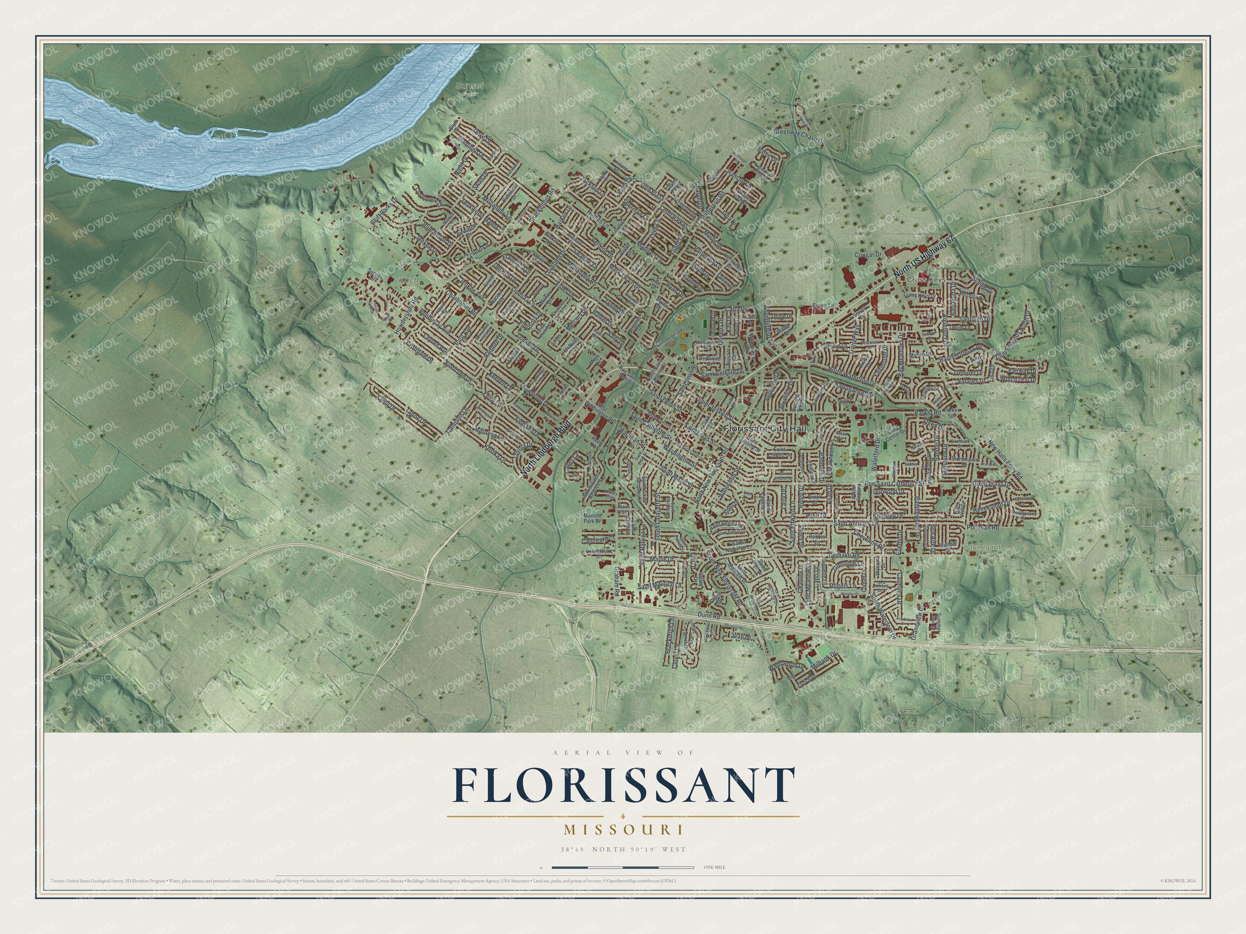
Created by KNOWOL in 2026. The print shows Florissant from above, with soft green hills, small red building shapes and a wide blue river along the top left. The cream title panel reads AERIAL VIEW OF FLORISSANT, MISSOURI, with 38°48' NORTH 90°19' WEST printed below.
It fits a living room, a hallway or a home office. It's a kind gift for anyone who grew up near Koch Park or Rue Saint Denis and has since moved away. Open the preview and find your own street. See sizes and frames for the Florissant map.