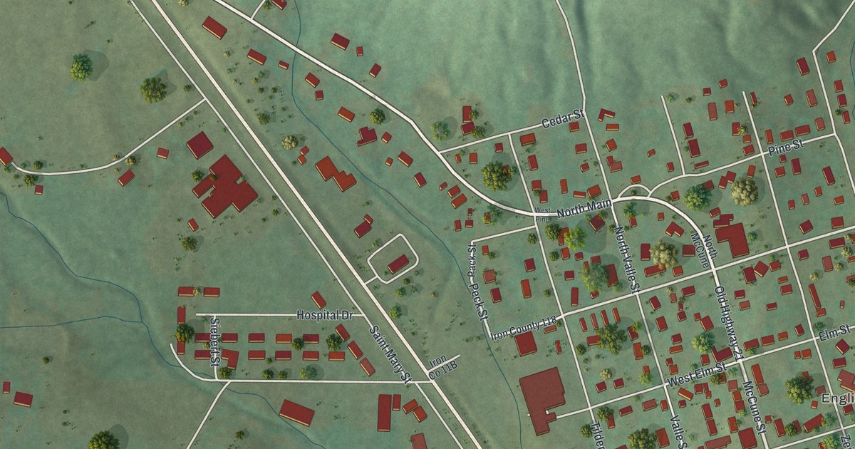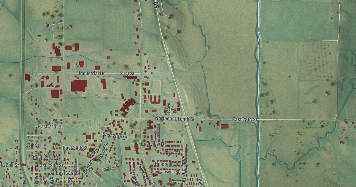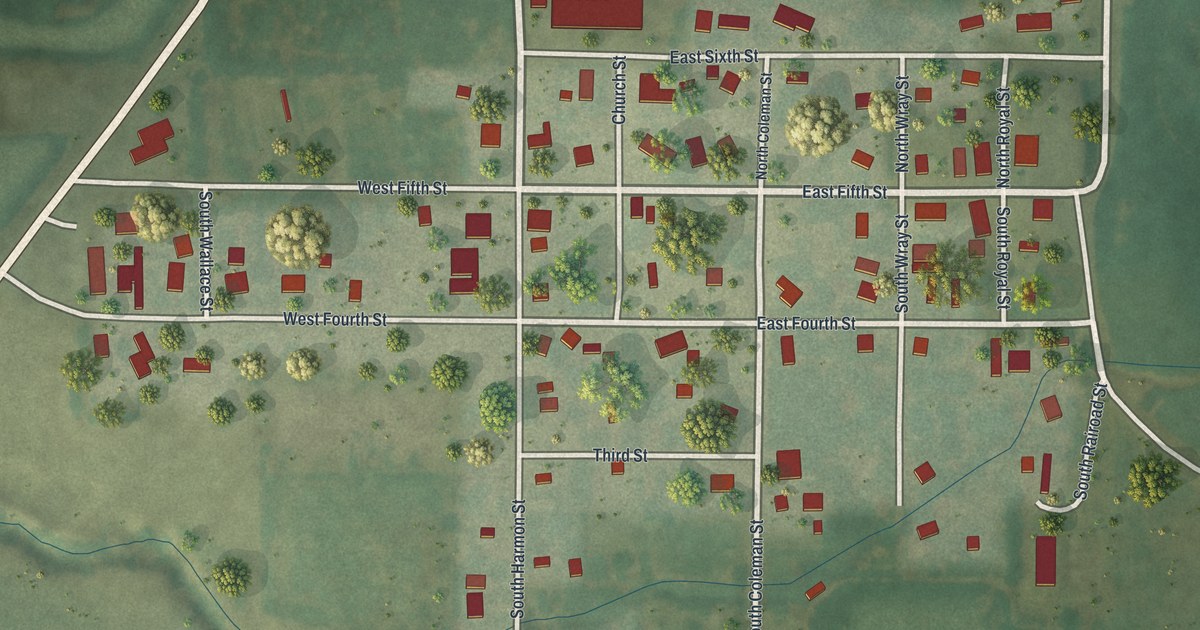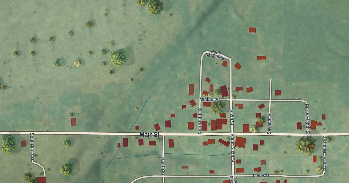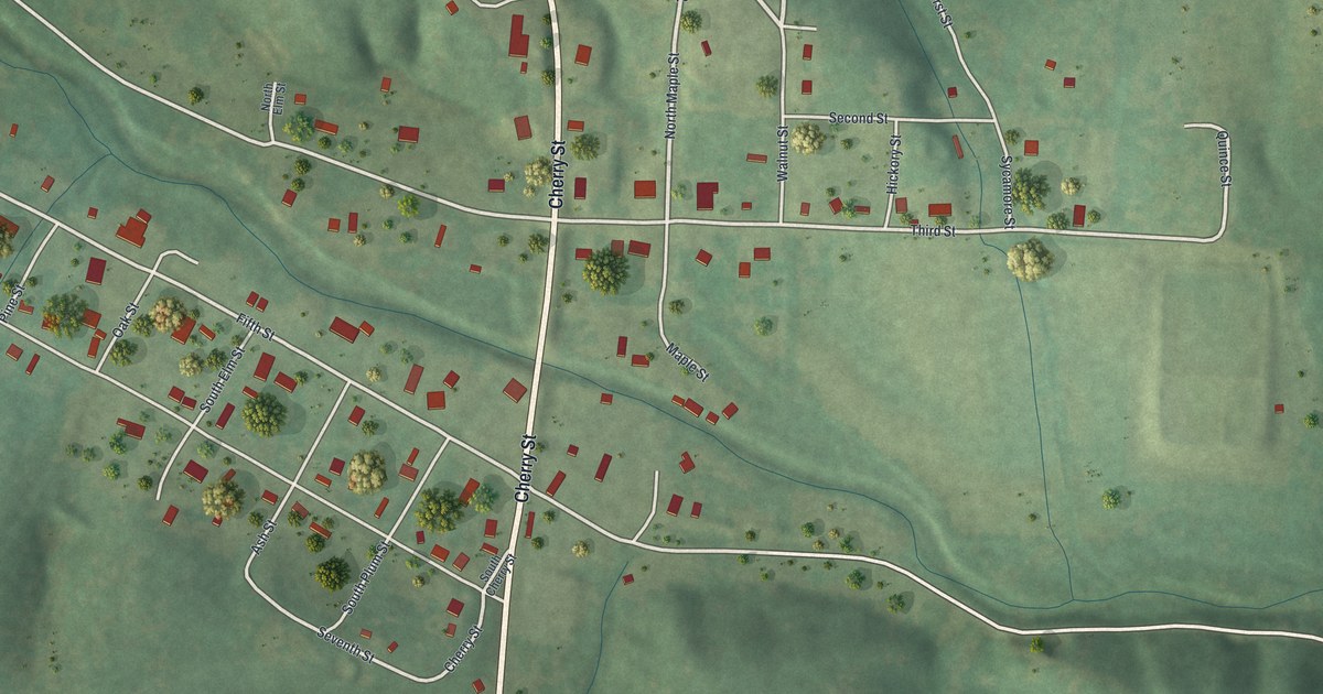
If you grew up on Sixth Street, or you still have family near Cherry Street, this map is a way to see home from above. It's a modern aerial view of Grandin in Carter County, Missouri, made from modern data and given a soft vintage look. Every building in town shows as a small red shape. The streets cross in a tidy grid, and green hills rise on all sides. Thin blue creeks wind through the valleys around town.
Cherry Street, Sixth Street and the Streets of Grandin
On this map you'll find Cherry Street, Sixth Street, Fifth Street, Third Street, Walnut Street, Maple Street, South Elm Street, Oak Street, Pine Street, Hickory Street, Spruce Street, Poplar Street, Carter Co 243, and more. Each red shape is a building, so zoom in on the preview and look for yours.
One of the Largest Lumber Mills in Missouri
Grandin's story starts with timber. The State Historical Society of Missouri keeps an old file of place names. It says that about 1885, the Missouri Lumber and Mining Company started one of the largest lumber mills in the state right here. That's a big claim for a small town. Look at the street names on the print. Oak, Pine, Hickory, Walnut and Spruce all show up in a town that once ran on wood.
The Sixth Street Historic District
Grandin has another thing to be proud of. In October 1980, the Sixth Street Historic District was added to the National Register of Historic Places. More than twenty homes around town were listed that same month, along with the Masonic Lodge. The lodge stands where Fifth Street meets South Elm Street. The Mrs. Louis Bedell House is at Third Street and Maple Street. Find those corners on the map, and you'll see where these old buildings stand today.
A Grandin Map for Home or for Someone Far Away
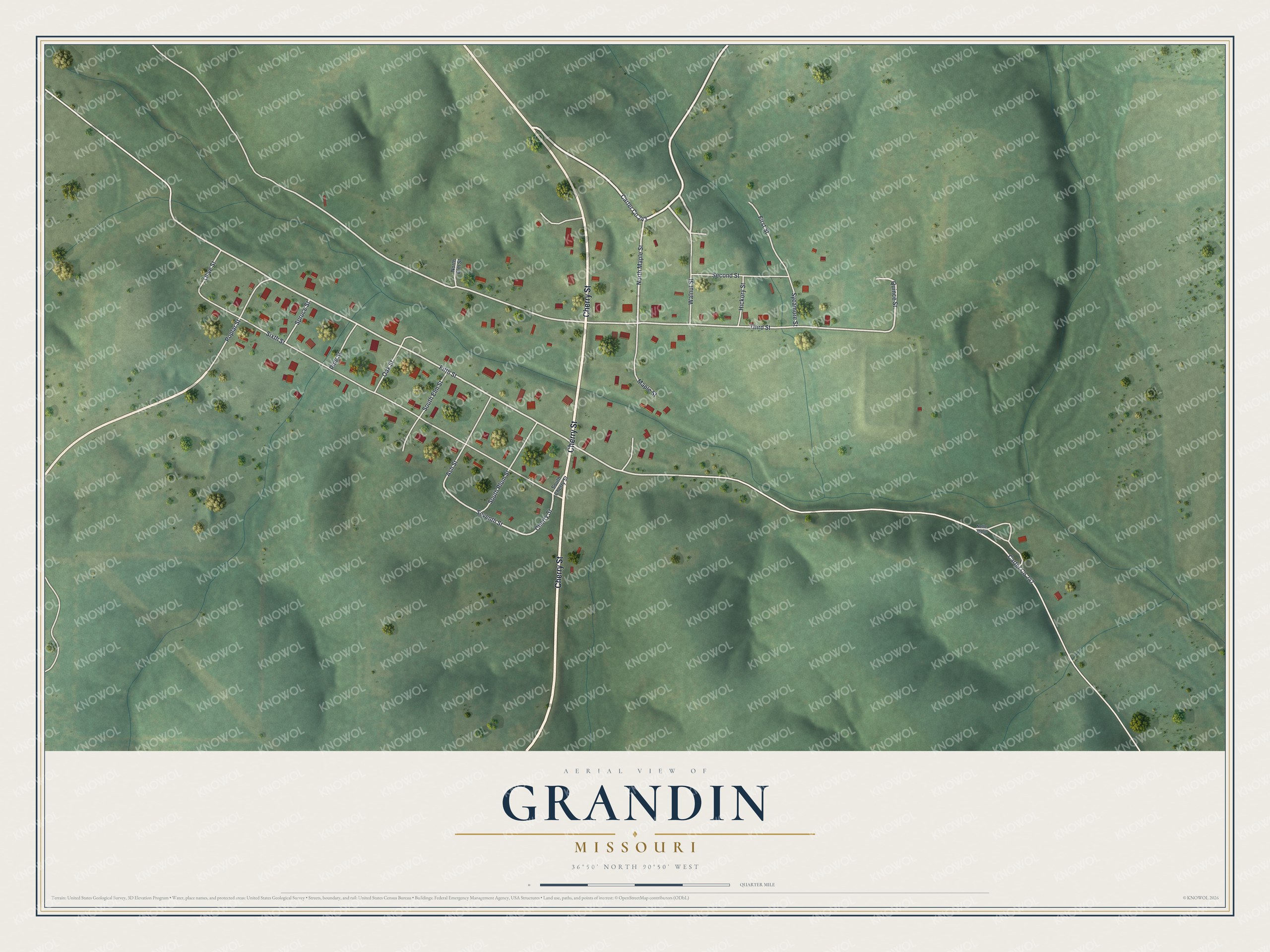
Created by KNOWOL in 2026, this print sets Grandin's streets and red building shapes over shaded green hills. A cream panel runs along the bottom. It reads Aerial View of Grandin, Missouri, with the coordinates 36°50' North 90°50' West.
It fits a living room, a front hall, a den or an office. It's a good gift for someone who grew up near the Masonic Lodge on South Elm Street, or for anyone with family on Sixth Street who moved away. Open the preview and find the street you know best. See sizes and frames for the Grandin map.