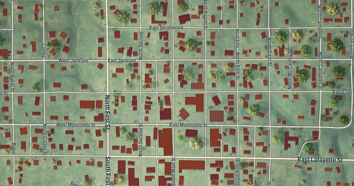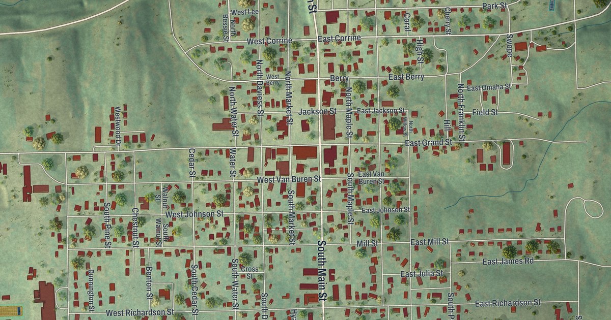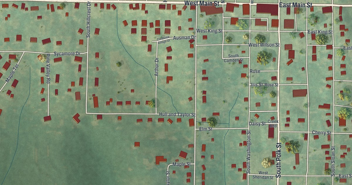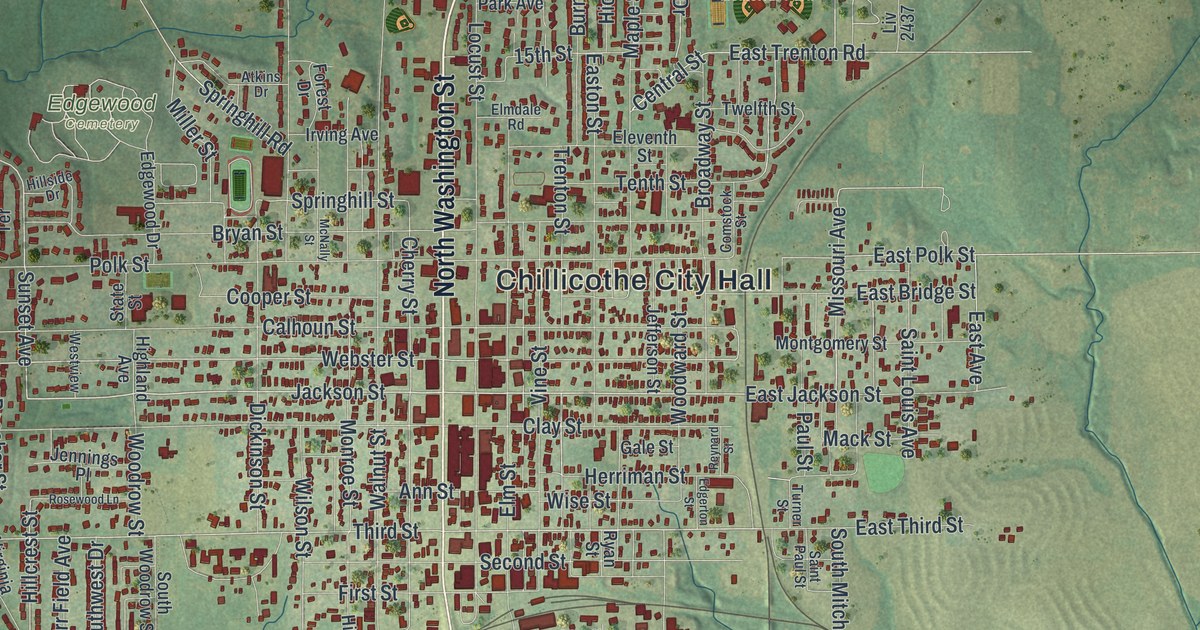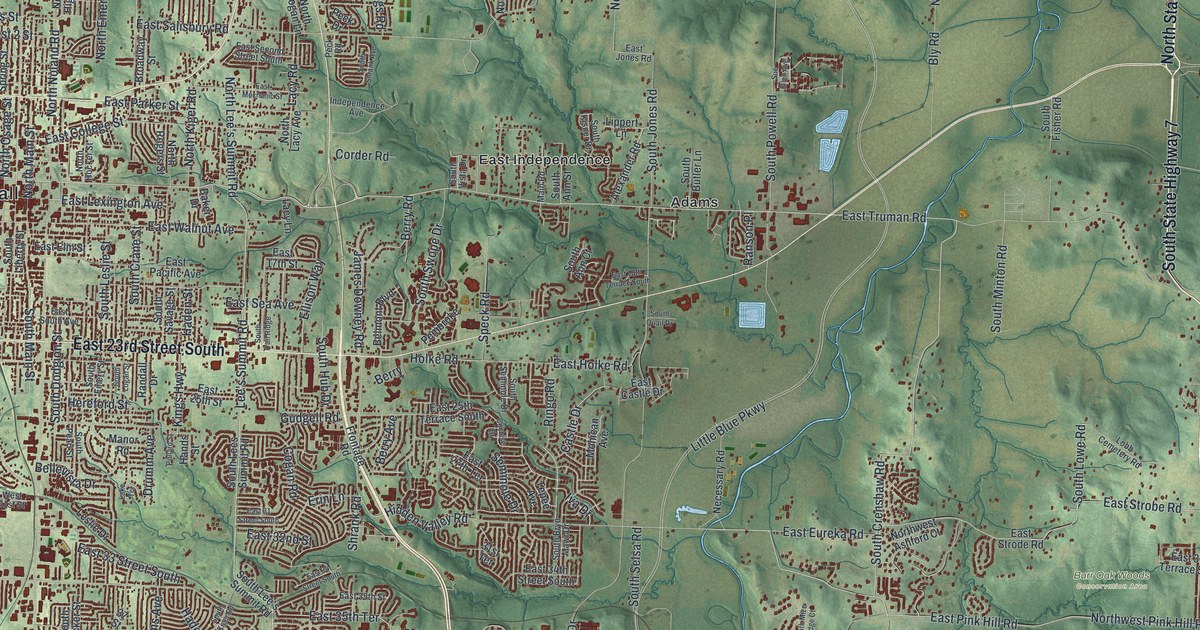
If you grew up in Independence, or your family still lives off North Main Street or East Truman Road, this map was made with you in mind. It's a modern aerial view of Independence in Jackson County, Missouri, built from modern data and finished with a vintage feel. Green hills roll across the whole sheet. A blue river curves through the top left corner. Thousands of small red shapes mark the homes, schools and shops of the city.
Englewood, Fairmount and the streets of Independence
On this map you'll find North Main Street, North Liberty Street, East Lexington Avenue, North Delaware Street, East Truman Road, East Independence Avenue, East 23rd Street South, South Noland Road, Blue Ridge Boulevard, Little Blue Parkway, Independence City Hall, Englewood, Fairmount, Mount Washington, Maywood, and more. Each red shape is a building, so zoom in on the preview and look for yours.
The Truman site on North Delaware Street
Independence is an old town. The State Historical Society of Missouri says it was founded in 1827. Its best-known address today is 219 North Delaware Street. That's the Harry S Truman National Historic Site. It was added to the National Register of Historic Places in 1985. North Delaware Street is printed on this map, so you can find the block yourself. The name Truman shows up again on East Truman Road.
The courthouse block on North Main Street
The old center of town is easy to spot, too. The Jackson County Courthouse is also on the National Register. Its block sits between Lexington and Maple Avenues and Liberty and Main Streets. A short way up, at 217 North Main Street, is the Jackson County Jail and Marshal's House. It was listed in 1970. Look for North Main Street, North Liberty Street and East Lexington Avenue on the print to find that part of town.
Bring Independence and North Delaware Street home
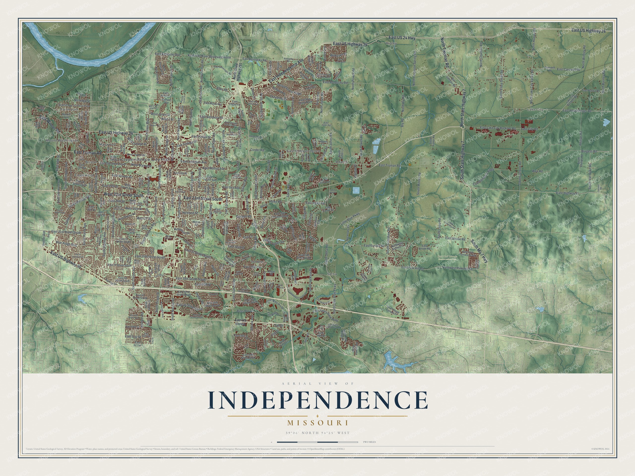
Created by KNOWOL in 2026, this print shows Independence from above, with shaded green hills, blue water and red buildings. The title panel reads "Aerial View of Independence, Missouri" with the coordinates 39°06' North 94°25' West.
It suits a living room, a home office or the hallway by the front door. It's a good gift for someone who grew up near the Truman site on North Delaware Street. It's also a kind way to send home to a friend who moved away from Englewood or Fairmount. Open the preview and find your street. See sizes and frames for the Independence map.