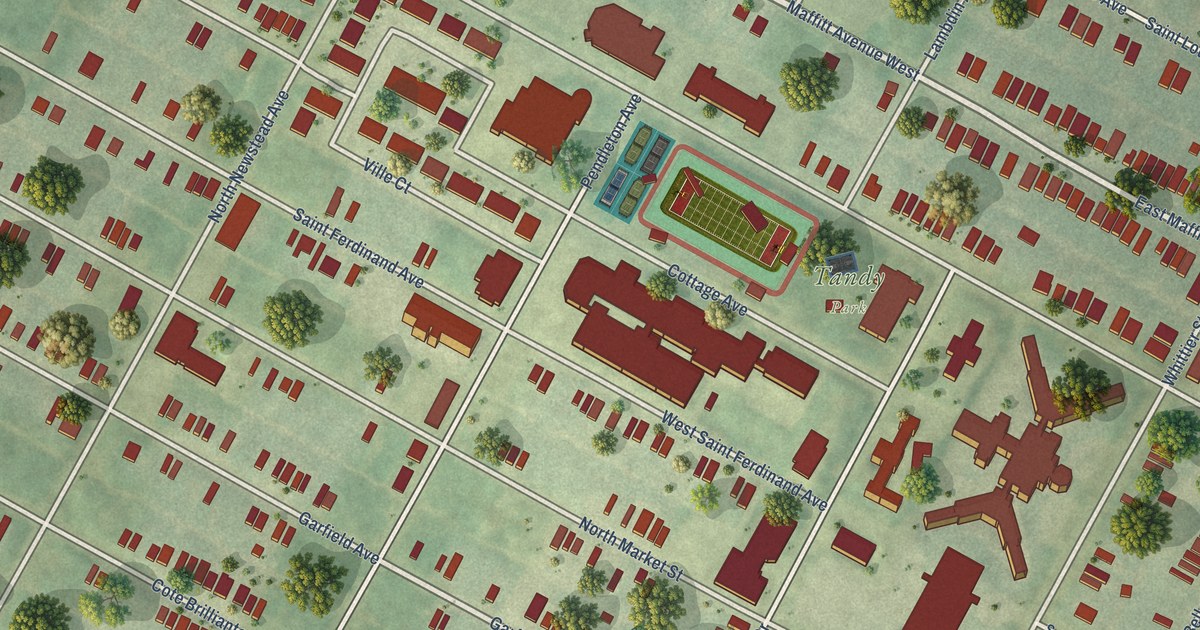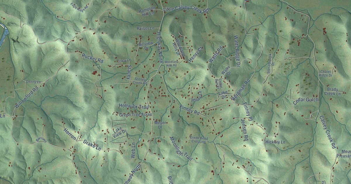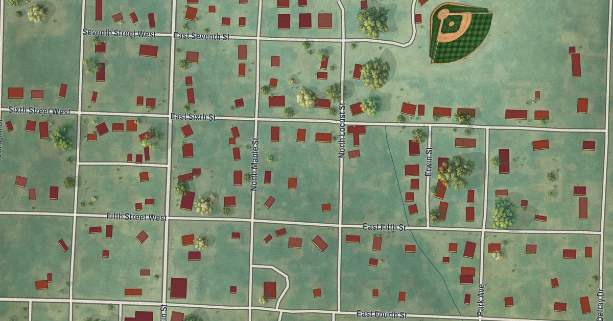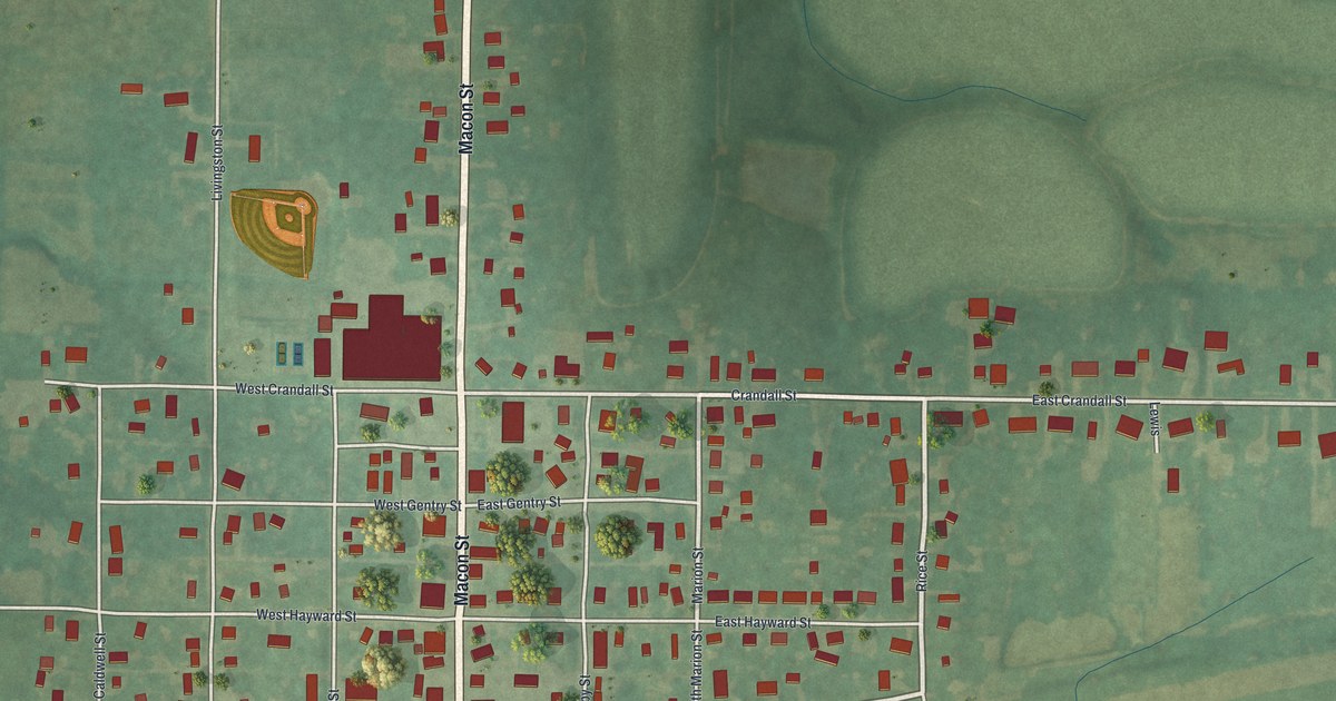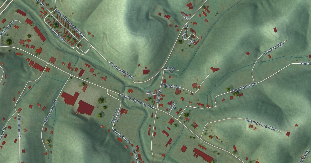
This beautifully detailed map of House Springs, Missouri was created in 2026 using aerial imagery combined with modern topographical, census, street and landmark data. It’s a one-of-a-kind view of House Springs that combines accurate data with a vintage aesthetic. The map shows every building in its true location, many of the roads carry their names, and the shaded topographic relief shows the shape of the land.
Explore an aerial view of House Springs, Missouri
On the map you’ll find Scotsdale and Dellwood, along with Gravois Road, Dellwood Lane, Grandview Road, Northwest Point Drive, Fawn Hollow Drive, Kc Lane, Scotsdale Creek Road, Scottsdale Road, State Highway Mm, Dulin Creek Road, and more. If you look closely you can even find your house accurately drawn in its correct location. Zoom in on the preview to look for yours.
Take a closer look at the House Springs map
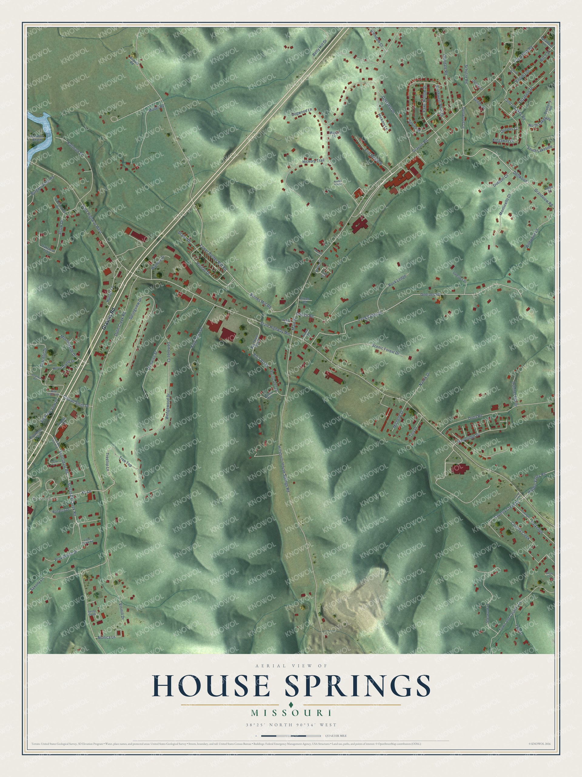
Names on this map
These names are printed on this map.
Places: Scotsdale.
Streets and roads: Gravois Road, Dellwood Lane, Grandview Road, Northwest Point Drive, Fawn Hollow Drive, Kc Lane, Dellwood, Scotsdale Creek Road, Scottsdale Road, State Highway Mm, Dulin Creek Road, Lower Byrnes Mill Road.
More street names, A to Z
Airport Road, Apache Lane, Arlow Drive, Betty Hill Drive, Big 3 Acres, Big Three Acres, Birch Drive, Boemler Lane, Bonanza Drive, Burgan Grove Road, Burnau Drive, Byrnes Mill Road, Calico Drive, Carol Park Road, Church Road, Conrad Smith Drive, Country Creek, Country Creek Drive, Demaree Street, Demoree Court, Dewberry Hill, Doetzel Court, Dogwood Lane, Duda Road, Elizabeth Drive, Erin Meadow, Fawn Lane, First Street, Franz Road, Geerdes Drive, Geerdes Road, Glendale Court, Glendale Road, Green Road, Green Street, Hallmark Drive, Hickory Lane, Hickory Trail, Hidden Valley Road, Hillsboro-House Springs Road, Hunter Lane, Justamere Hill, Kingsway Drive, King Terra Drive, Land of Lakes Road, Lang Valley Drive, Little Creek Road, Main Street, Maple Lane, Michelle Drive, Moder Road, Monica Lane, Monticello Court, Morningside Drive, Nahlik Drive, Nesbitt Hollow, North Lakeside, Notre Dame Drive, Oakcrest Drive, Oakcrest Trail, October Hill Drive, Oetjen Drive, Parkedge, Parkedge Drive, Patient Way, Peaceful Drive, Pleasant View Drive, Providence Drive, Queens Court, Raetta Lane, Ridge Drive, Rivermont Trail, Rockford Beach, Rock Ledge, Saxony Lane, Scenic Forest Drive, Schulze Road, Scottsdale Creek Boulevard, Sembr Place, Shawn Drive, Sherwood Lane, South Lakeside, Spring Creek, Spring Glen Drive, Springview Drive, Spruce Drive, State Highway West, Sunset Circle, Sycamore Lane, Tina Drive, Town and Country Lane, Tree Top, Treetop Lane, Victoria Drive, Vinmill Drive, Virginia Drive, Walnut Street, Walters Drive, Washington Drive, Wedgewood Drive, Wild Cherry Drive, Wildwood Lane, Woodridge Drive.
See it on a wall
The House Springs map as a framed print. Swipe for more.


This beautifully detailed map of House Springs makes an attractive addition to your office, library, or den, and it can even be used to teach children the geography and history of the area. It also makes a great gift for anyone with House Springs roots. When you’re done exploring, click here to get your copy of the House Springs map.