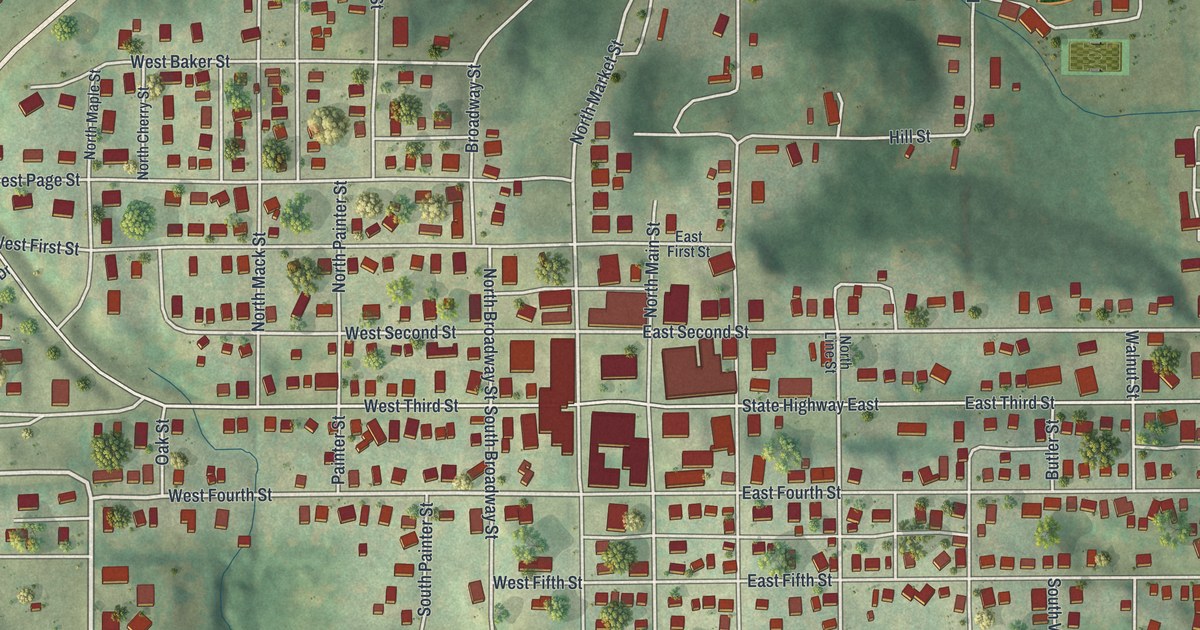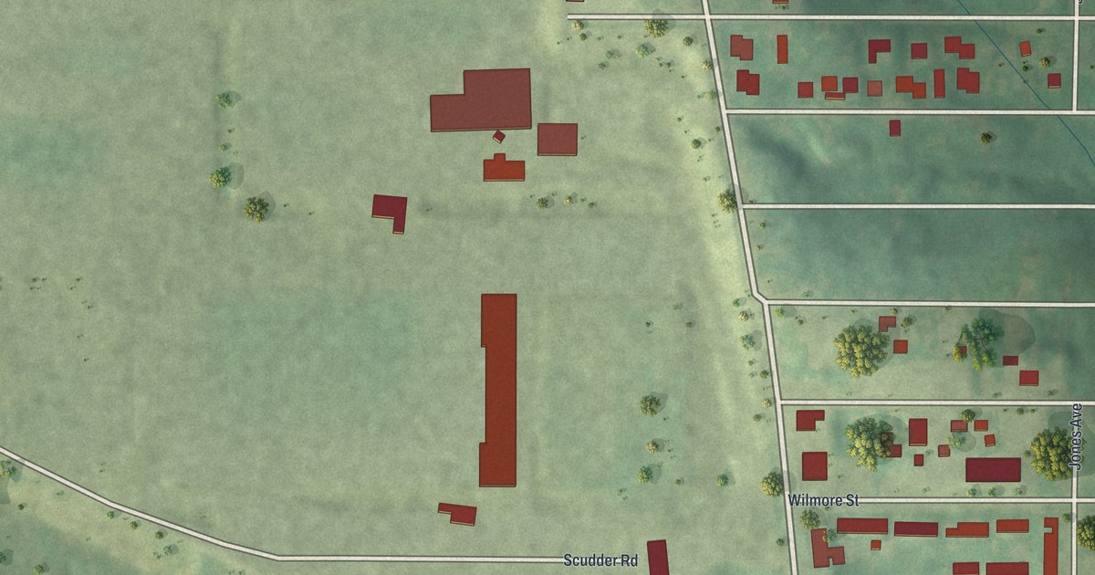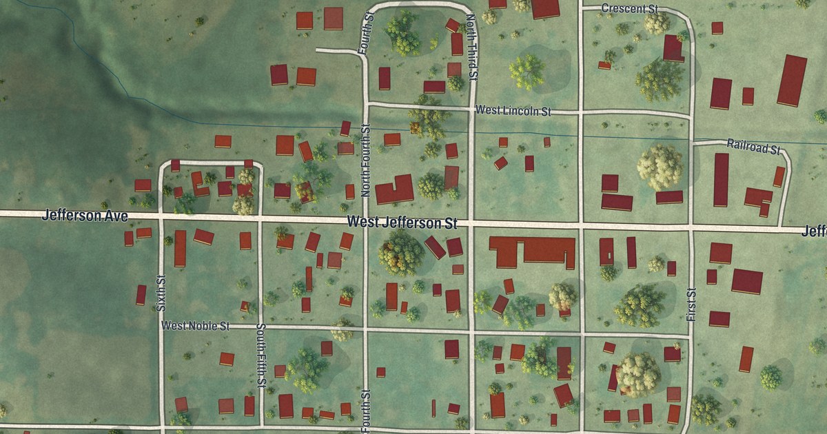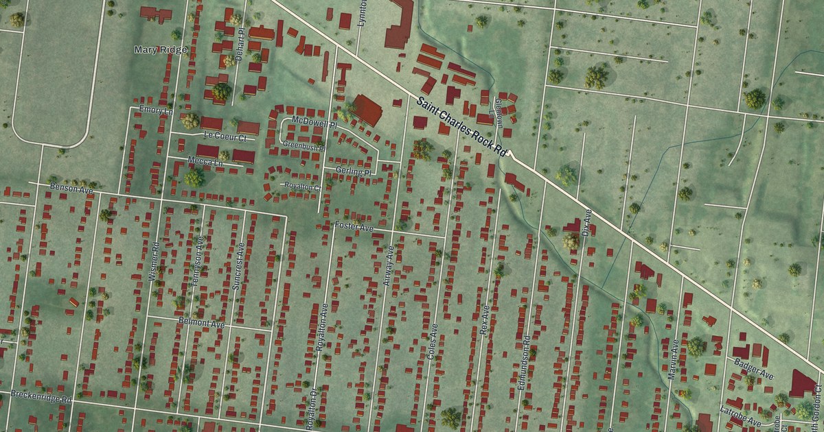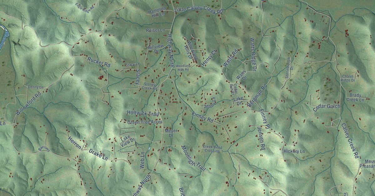
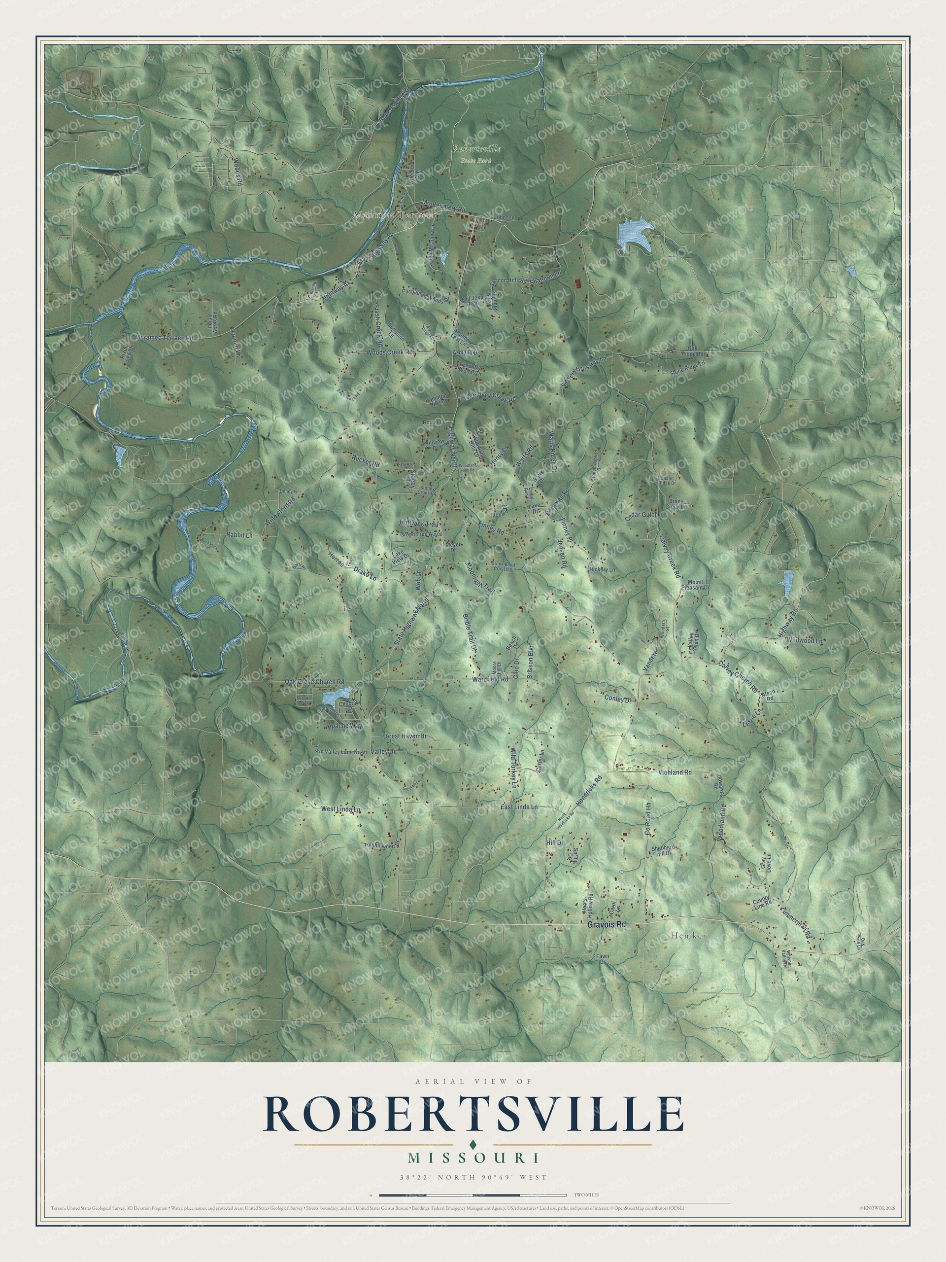
This beautifully detailed map of Robertsville, Missouri was created in 2026 using aerial imagery combined with modern topographical, census, street and landmark data. It’s a one-of-a-kind view of Robertsville that combines accurate data with a vintage aesthetic. The map shows every building in its true location, many of the roads carry their names, and the shaded topographic relief shows the shape of the land.
Explore an aerial view of Robertsville, Missouri
On the map you’ll find Hemker and Robertsville State Park, along with Meramec Terrace, Gravois Road, Highway North, State Highway North, Meramec Terrace Road, Highway Ak, Brisson Boulevard, County Road HH, Highway Hh, State Highway Ak, and more. If you look closely you can even find your house accurately drawn in its correct location. Zoom in on the preview to look for yours.
Did You Know?
From Internet Archive: "The lowland or alluvial soils are grouped into three series, the Osage (first-bottom) soils and the Chariton and Robertsville (secondbottom or terrace) soils."
Robertsville is a community in Franklin County.
Take a closer look at the Robertsville map
Names on this map
These names are printed on this map.
Places: Hemker, Meramec Terrace and Robertsville State Park.
Streets and roads: Gravois Road, Highway North, State Highway North, Meramec Terrace Road, Highway Ak, Brisson Boulevard, County Road Hh, Highway Hh, State Highway Ak, Wardfield Road, Willowford Road, Calvey Creek Road.
More street names, A to Z
Adams Street, Algoriquin Drive, Alson Road, Angelina Lane, Apache Way, Ashland Drive, Autumn Leaf Lane, Barrows, Beach Drive, Bergman Road, Brady Creek Lane, Brandy Lane, Bridle Trail Drive, Buchanan Lane, Calvery Crossing Lane, Calvey Church Road, Carol Lane, Carter Lane, Cedar Gulch, Cedar Run Court, Chalet Ridge Drive, Choctaw Court, Circle Drive, Cleo Drive, Conley Drive, Country Woods Drive, County Line Road, Creek Bend Crossing, Denny Lane, Drake Lane, Eagle Ridge Road, East Linda Lane, Enchanted Woods Drive, Fawn Drive, Finney Place, Finney Road, Flash Creek Road, Forest Haven Drive, Gray Dove Lane, Green Tree Acres, Hampton Hill Lane, Hendricks Road, Henry Court, Herron, Hickory Lane, High Meadow Drive, Hill Drive, Hillview Drive, Holtwick Trail, Hoots Hollow Road, Howard's Road, Indian Acres Road, Jenny Lane, Jensen Road, Johnson Lane, Jones Lane, Lake Drive, Lake View Drive, Leslie Lane, Little Calvey Creek Road, Meyer Drive, Montgomery Road, Moonlight Trail, Moore Hill Lane, Mount Pleasant Drive, North Hendricks Road, Oak Grove Church Road, Oak Ridge Road, Oak Tree Lane, Old Jeep Trail, Rabbit Lane, Reiser Lane, River View Drive, Robertsville Road, Rock Ridge Road, Rucker Road, Shannon Hills Lane, Shannon Lane, Shanon Hills Road, Shawnee Way, Shenandoah Lane, Shepherd Hill Drive, Spring Drive, Stacey, Stacy Lane, Stonebroook Drive, Stone Ridge Lane, Stoney Creek Road, Thompson Lane, Trunko Lane, Tumbleweed Drive, Twin Valley Lane North, Valley Drive, Valley Glen Drive, Vandera, Viehland Road, Vondera Street, Watts Drive, Watts Ridge Drive, Watts Road, Web Lane, West Linda Lane, Wheeler Avenue, Whisper Valley Road, Wild Turkey Lane, Wildwood Lane, Woodland Hills Drive, Woodland Hills Road, Woodland Road, Woods Creek Road, Woods Road, Zimmerman Road.
See it on a wall
The Robertsville map as a framed print. Swipe for more.


This beautifully detailed map of Robertsville makes an attractive addition to your office, library, or den, and it can even be used to teach children the geography and history of the area. It also makes a great gift for anyone who grew up in Robertsville or moved away. When you’re done exploring, click here to get your copy of the Robertsville map.