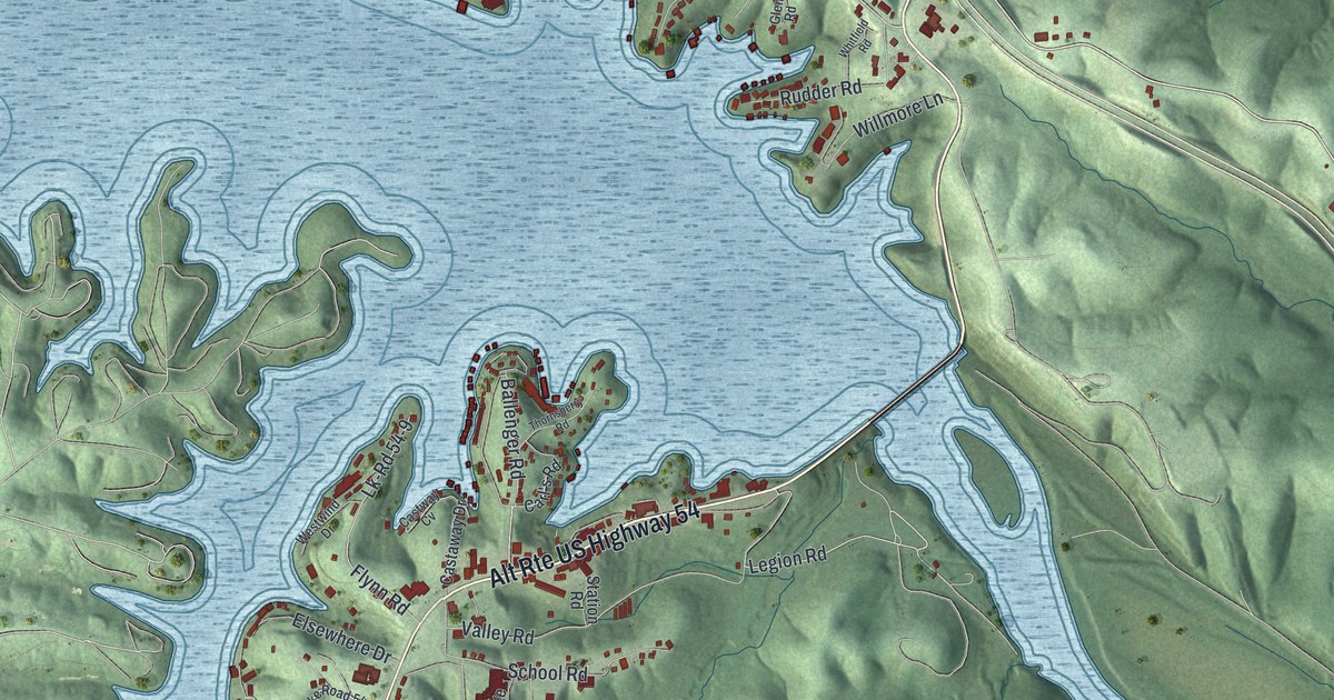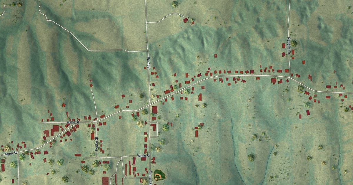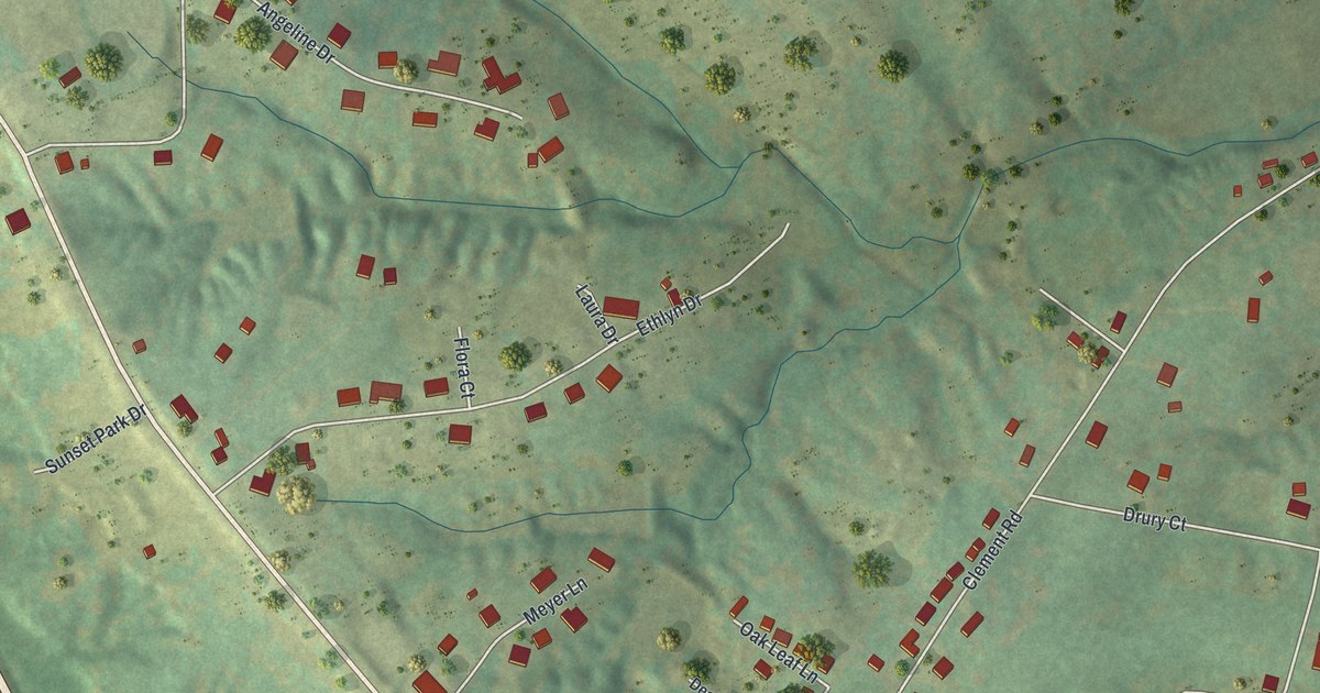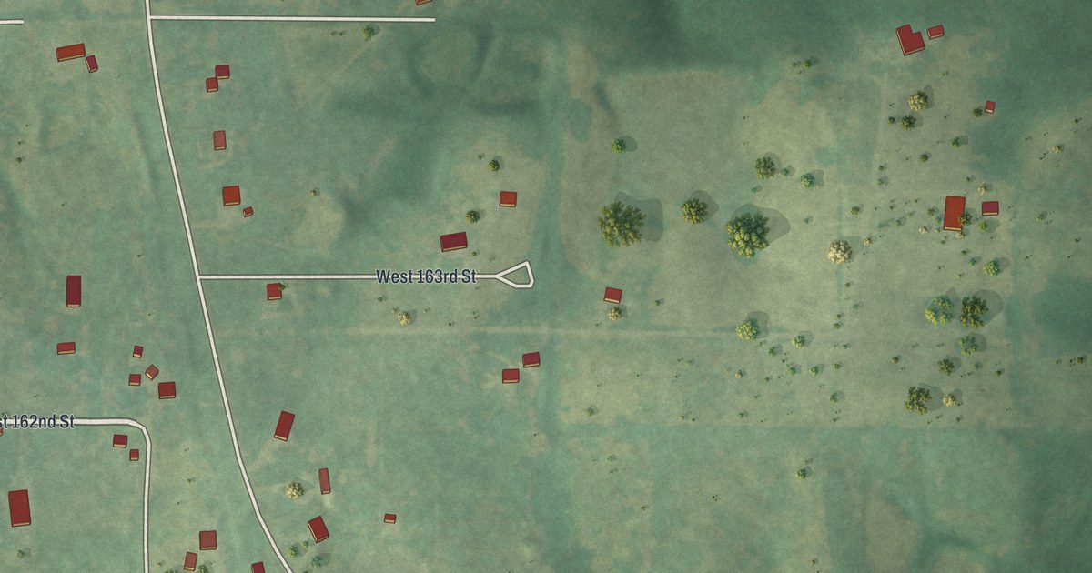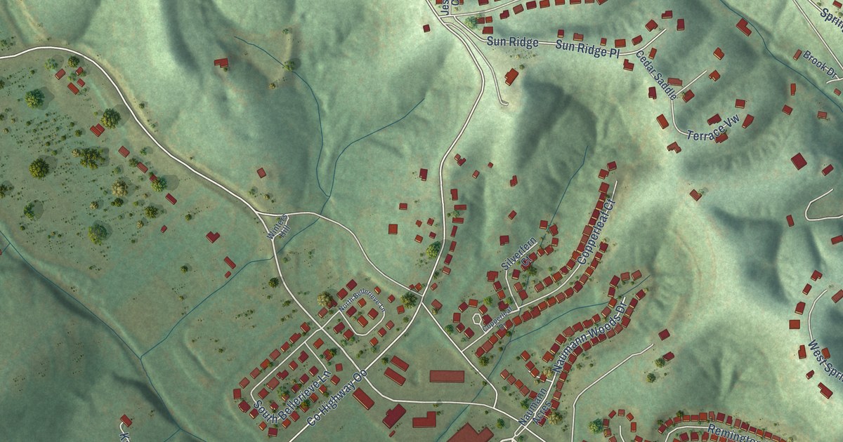
This beautifully detailed map of Seckman, Missouri was created in 2026 using aerial imagery combined with modern topographical, census, street and landmark data. It’s a one-of-a-kind view of Seckman that combines accurate data with a vintage aesthetic. The map shows every building in its true location, many of the roads carry their names, and the shaded topographic relief shows the shape of the land.
Explore an aerial view of Seckman, Missouri
On the map you’ll find Spring Forest and Lions Den, along with Lions Den Road, Lemay Ferry Road, County Highway OO, Lemay Ferry Road North, Driftwood Court, Old Lemay Ferry Road, Valley Oaks Drive, Frisco Hill Road, Seckman Road, East Rock Creek Road, and more. If you look closely you can even find your house accurately drawn in its correct location. Zoom in on the preview to look for yours.
Take a closer look at the Seckman map
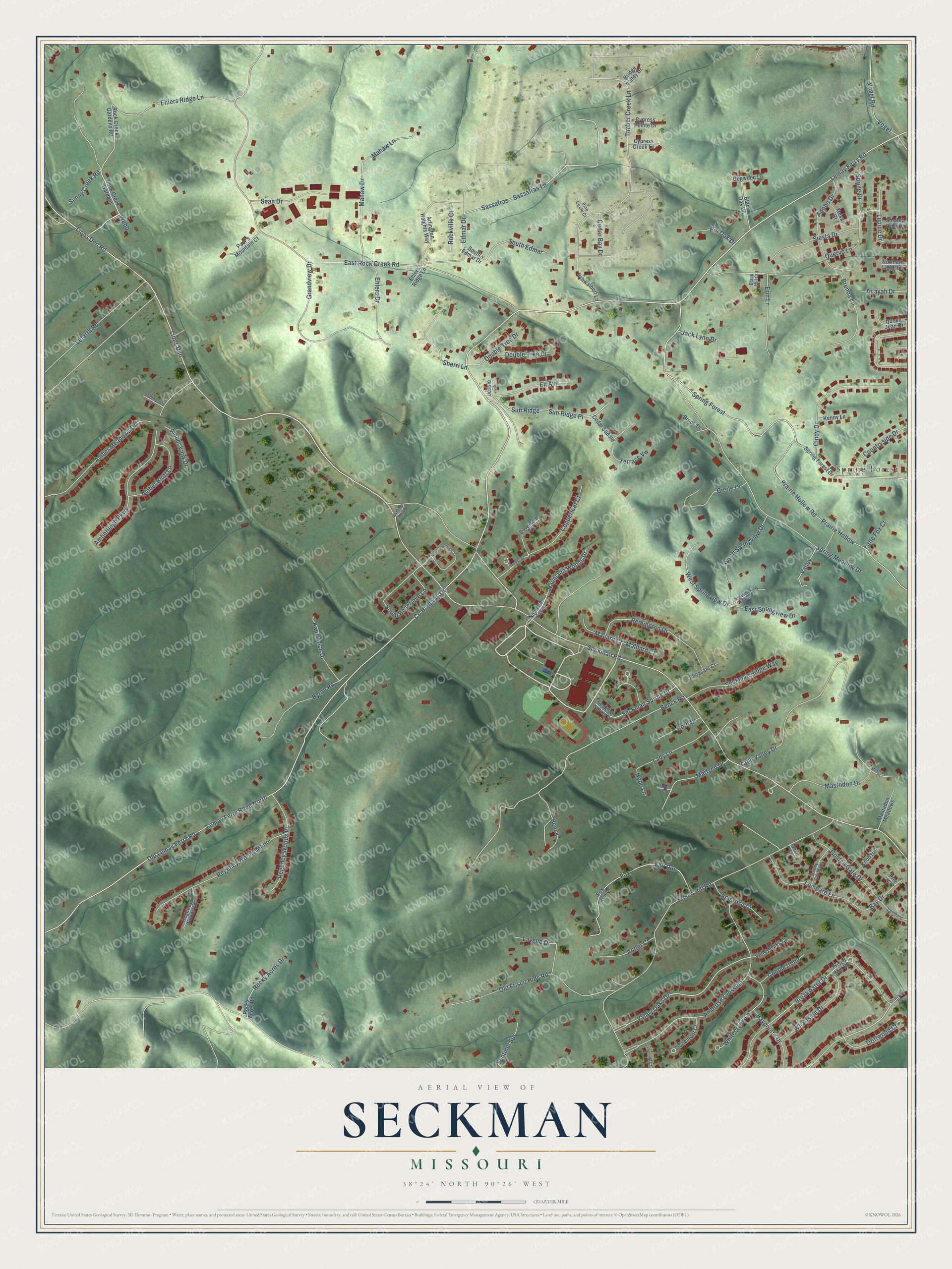
Names on this map
These names are printed on this map.
Places: Spring Forest.
Streets and roads: Lions Den Road, Lemay Ferry Road, County Highway Oo, Lemay Ferry Road North, Driftwood Court, Old Lemay Ferry Road, Valley Oaks Drive, Frisco Hill Road, Seckman Road, Lions Den, East Rock Creek Road, Benck Road.
More street names, A to Z
Adayah Drive, Adobe Drive, Amber Bluff Lane, Amberleigh Parkway, Amber Meadows Drive, Amber View Drive, Ambrose Court, Ambrose Crossing, Antler Court, Arlington Heights Way, Bay Drive, Baypointe Drive, Benck, Black Hill Court, Black Oak Drive, Breakwater Drive, Brenda Lane, Bridge Valley Drive, Brook Drive, Byrne Road, Cedar Bay Drive, Cedar Saddle, Cindy Drive, Circle Drive, Clubhouse Drive, Cobblestone, Copperleaf Court, Copperleaf Drive, Countryside Drive, Cypress Creek Lane, Cypress Pointe Drive, Dogwood Lane, Double Tree Court, Double Tree Drive, Driftwood Drive, East Springview Drive, Edmar Drive, Ehiers Ridge Lane, Ehlers Drive, Ehlers Ridge Lane, Eli Avenue, Erin Lane, Fox, Fox Run, Fox Run Drive, Frisco Mill Road, Golden Gate Drive, Grandview Drive, Greenmont Court, Hope Lane, Jack Lynn Drive, Jessie Court, Katie Valley Drive, Kauzlarich Drive, Kenny Lane, Knob Hill, Lady Lane, Lavelle Drive, Lefarth Road, Little Fox Court, Lombard, Lombard Lane, Lupine Drive, Mahaw Drive, Mahaw Lane, Mallard Court, Malllard Court, Marlynn Court, Marlynn Drive, Mastadon Meadows, Mastodon Court, Mastodon Drive, Mesa Court, Naumann Acres, Naumann Woods Drive, North Bellerieve Lane, Northern Lights Drive, North Springview Drive, North Spring View Drive, Old Frisco Hills Road, Paul's Mountain Court, Pheasant Court, Pier Court, Pine Circle Court, Pin Oak Drive, Prairie Hollow, Prairie Hollow Road, Queen Jean Drive, Quervo Lane, Regency Woods Lane, Regency Woods Manor, Regency Woods Place, Remington Drive, Rock Creek Gardens, Rock Creek Gardens Road, Rockville Court, Rocky Acres Drive, Rocky Acres Road, Roth Drive, Sassafras, Sassafras Lane, Schwalbert Lane, Sean Drive, Seckman Ridge Way, Seckman Spring Drive, Seckman Spring Lane, Sentinel Spr, Shelley Lynn Drive, Sherri Lane, Siesta Drive, Silverfern Court, South Bellerieve Lane, South Edmar, South Edmar Drive, Spring Drive, Spring Forest Drive, Spring Meadow Drive, Stonemont Court, Sunny Creek Road, Sun Ridge, Sun Ridge Place, Terrace Vw, Timber Creek Lane, Trolley Crossing, Valley, Valley Oaks Court, Vogel, Vogel Road, Webb, West Springview Drive, Wharf Court, Wharfside Drive, Whitecreek Lane, Winters Hill.
See it on a wall
The Seckman map as a framed print. Swipe for more.


This beautifully detailed map of Seckman makes an attractive addition to your office, library, or den, and it can even be used to teach children the geography and history of the area. It also makes a great gift for someone who left Seckman and still calls it home. When you’re done exploring, click here to get your copy of the Seckman map.