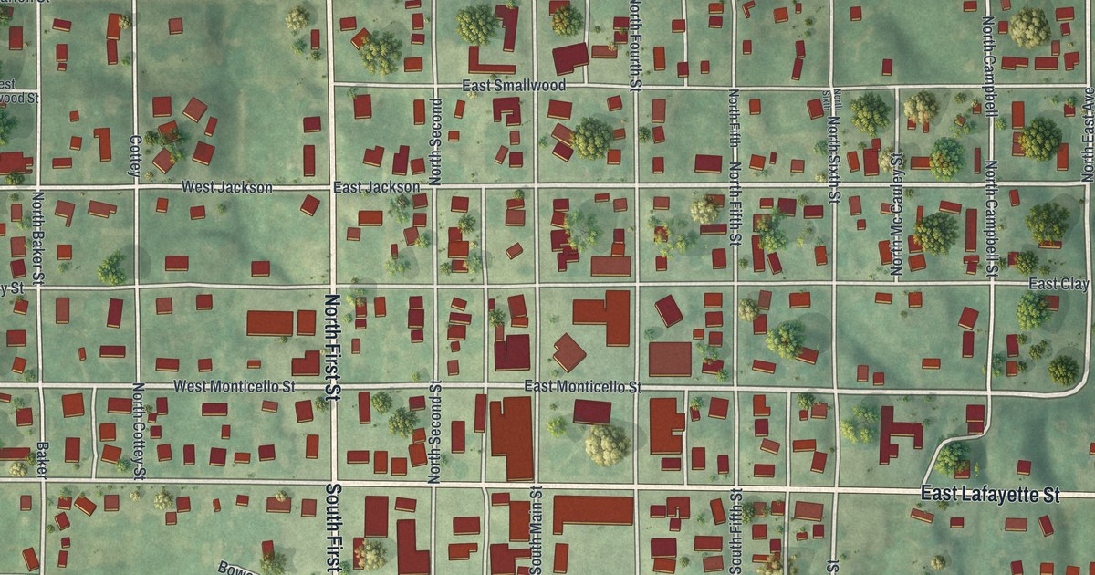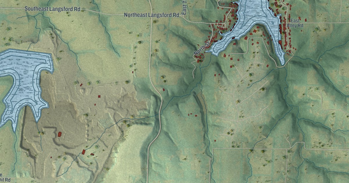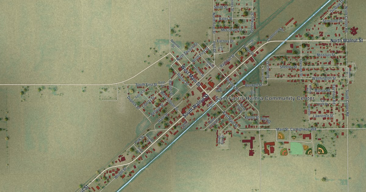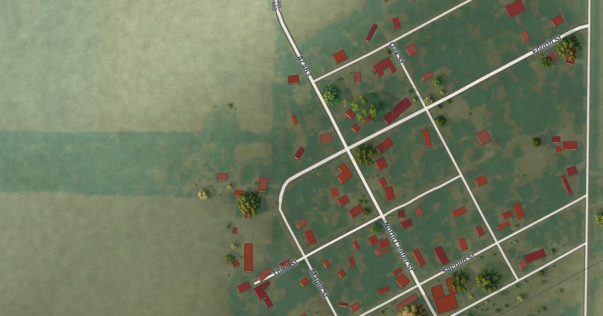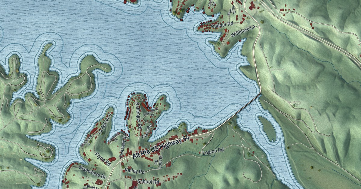
If you grew up in Lake Ozark, this print gives your hometown a place on the wall. It's a modern aerial view of Lake Ozark in Miller County, Missouri, made in 2026 with a vintage feel. Blue coves reach into green hills, with red buildings along the shore.
Lake Ozark's name and its first post office
On this map you'll find Bagnell Dam Boulevard, Lake Ozark City Hall, Horseshoe Bend Parkway, North Shore Drive, Osage Hills Road, School Road, Fish Haven Road, Arrowhead Beach, Lakeview, Lakeland, and more. Each red shape is a building, so zoom in on the preview and look for yours.
The State Historical Society of Missouri's place-name account dates the post office to 1932. It stood on the southwest side of the Osage Dam. Frank Andrews, the first postmaster, named it for the nearby lake. On the print, that lake is the big blue shape, with its coves reaching into the hills and red buildings along the shore.
Lake Ozark and its coves on your wall
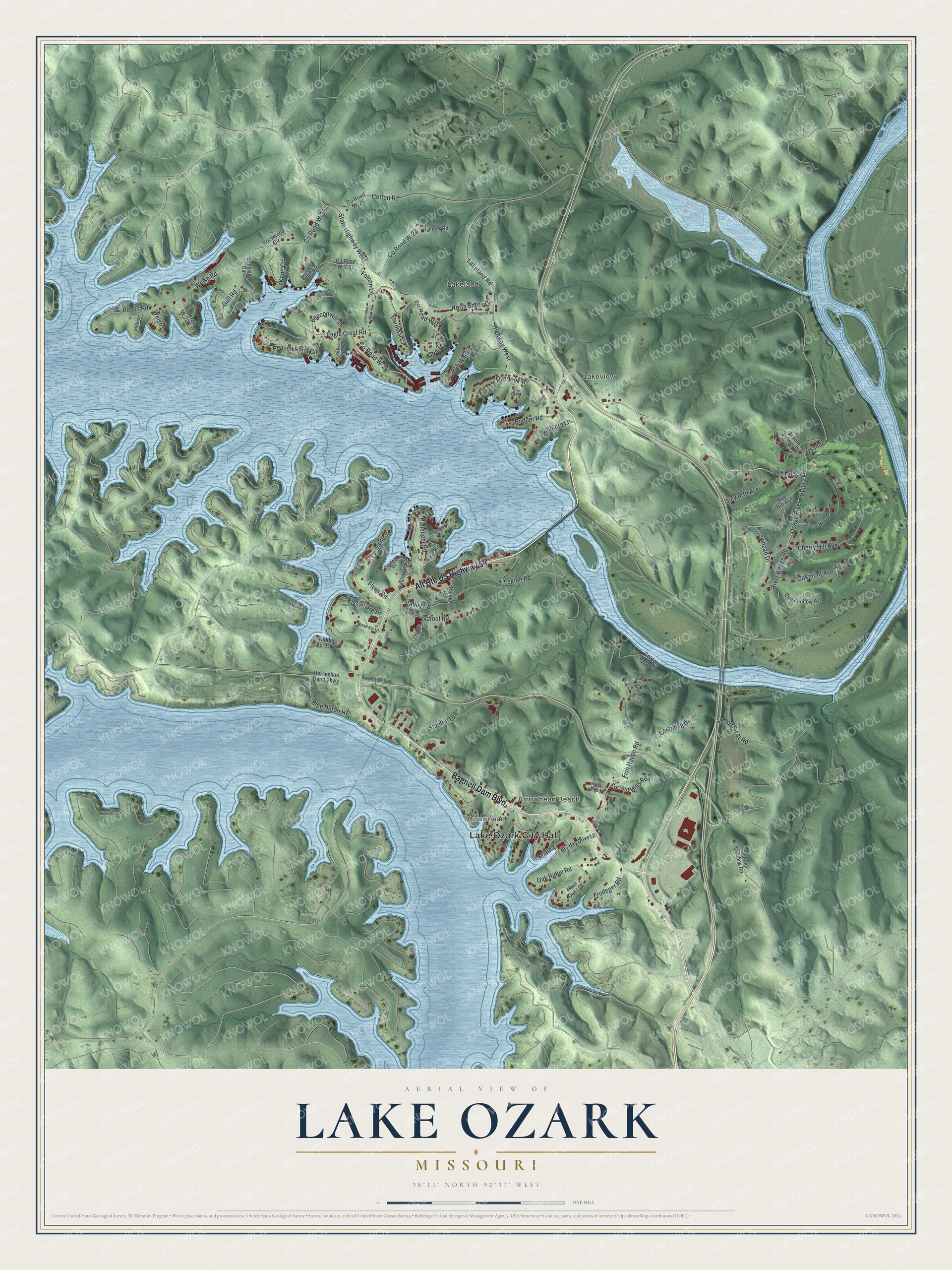
Created by KNOWOL in 2026, the print pairs green shaded hills with pale blue water and small red buildings. A cream border surrounds the view. The title panel reads AERIAL VIEW OF, LAKE OZARK, MISSOURI, with 38°11' NORTH 92°37' WEST below.
Hang it in a living room, home office or lake house. It's a gift for someone with family near Arrowhead Beach, or someone who's moved away from Lake Ozark. Open the preview and take a closer look at the streets and shore you know. See sizes and frames for the Lake Ozark map.