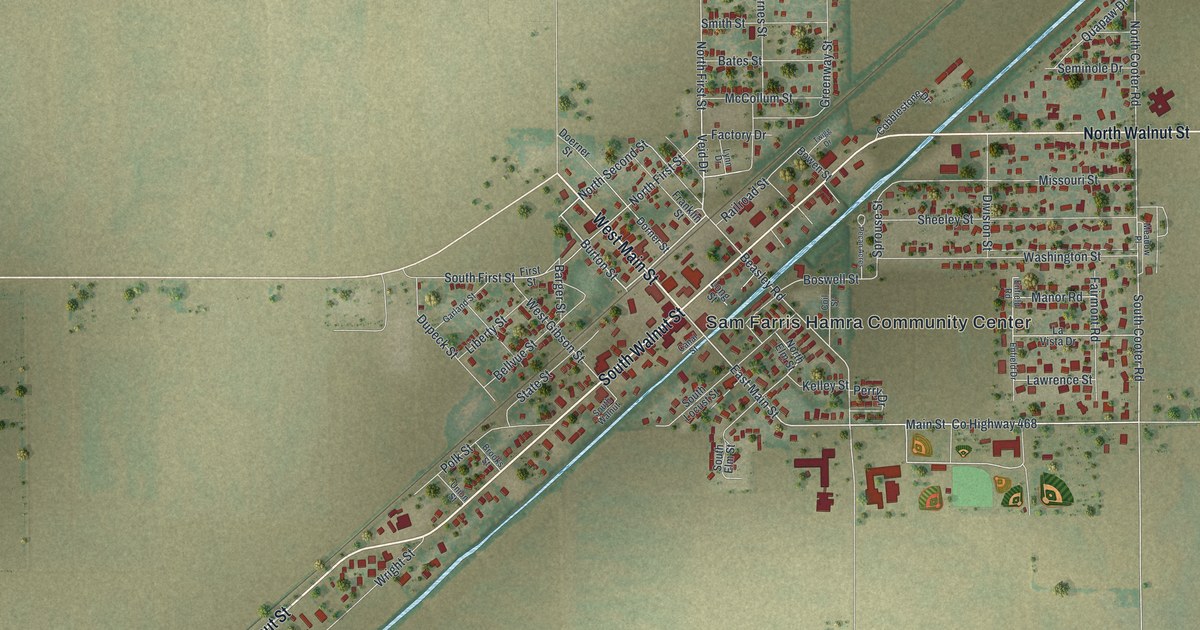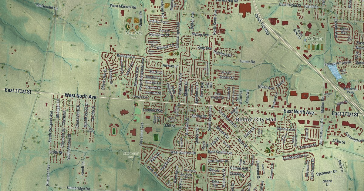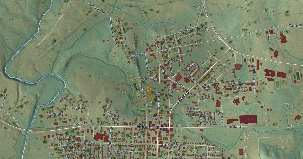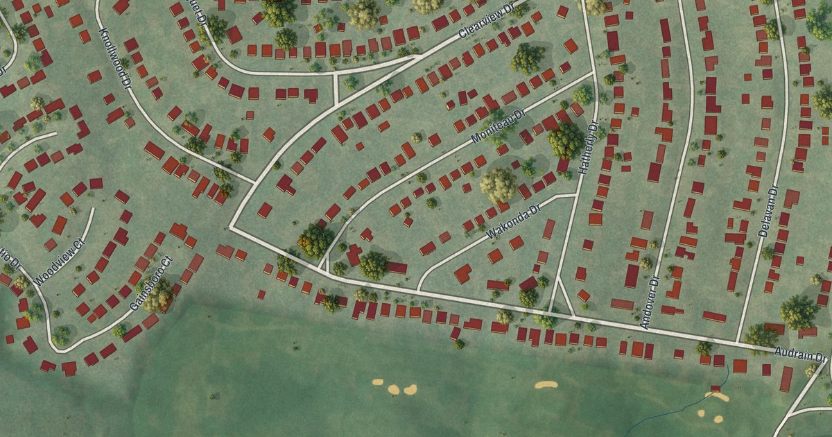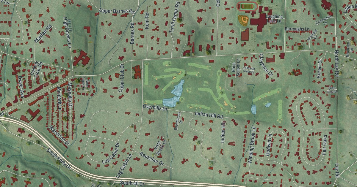
If you grew up in Ladue, this print gives you familiar streets to find again. It's a modern aerial view, built from public terrain, street and building data, with a vintage feel, showing Ladue in St. Louis County, Missouri. Red buildings dot the green landscape, with winding lanes, golf courses and small blue ponds.
Ladue Road and Tilles Park on the map
On this map you'll find Ladue Road, Clayton Road, Conway Road, Litzsinger Road, Warson Road, South McKnight Road, South Price Road, Cella Road, Tilles Park, Saint Louis Country Club, Old Warson Country Club, and more. Each red shape is a building, so zoom in on the preview and look for yours.
The open greens of Saint Louis Country Club and Old Warson Country Club stand out among the homes. Small ponds add blue touches to both courses. There's a piece of Ladue's history along these streets, too. The National Register has listed the Samuel Plant House at 800 Cella Road since 1984. You can find Cella Road by name on the print.
Keep Ladue's streets close
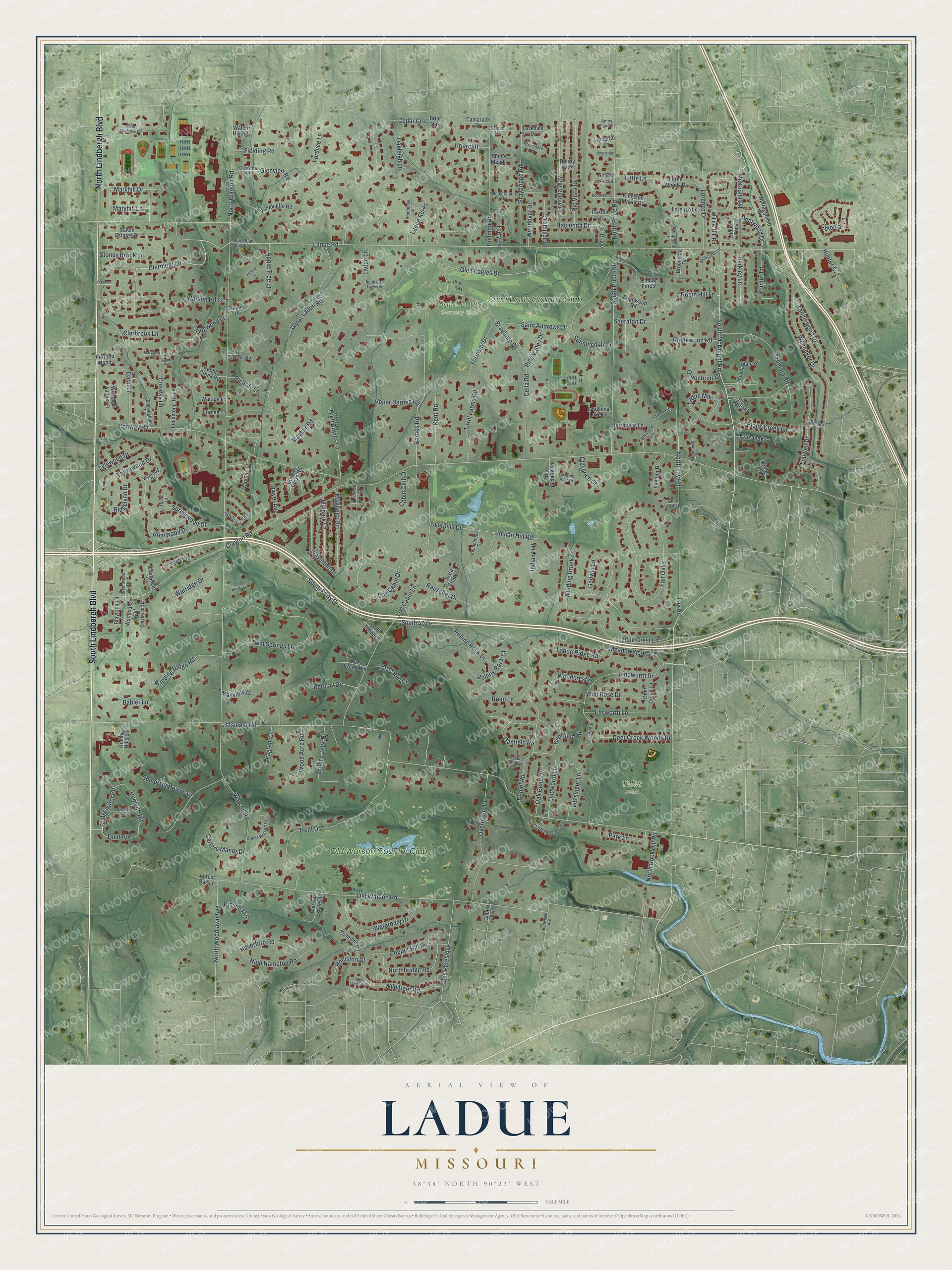
Created by KNOWOL in 2026, the print pairs soft green land with red buildings and blue water. A cream border surrounds the map. The title panel reads AERIAL VIEW OF, LADUE, MISSOURI, with 38°38' NORTH 90°23' WEST below.
Hang it in a living room, office or entryway. It's a gift for someone who grew up near Tilles Park and now lives far from home. Open the preview to look for their street and the places you both know. See sizes and frames for the Ladue map.