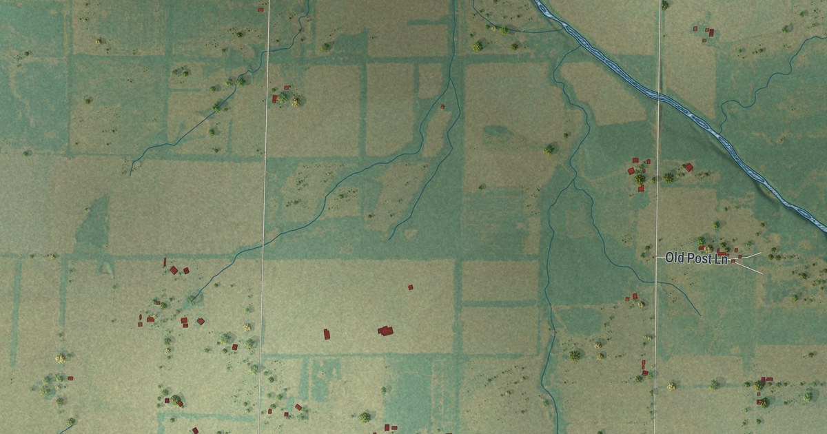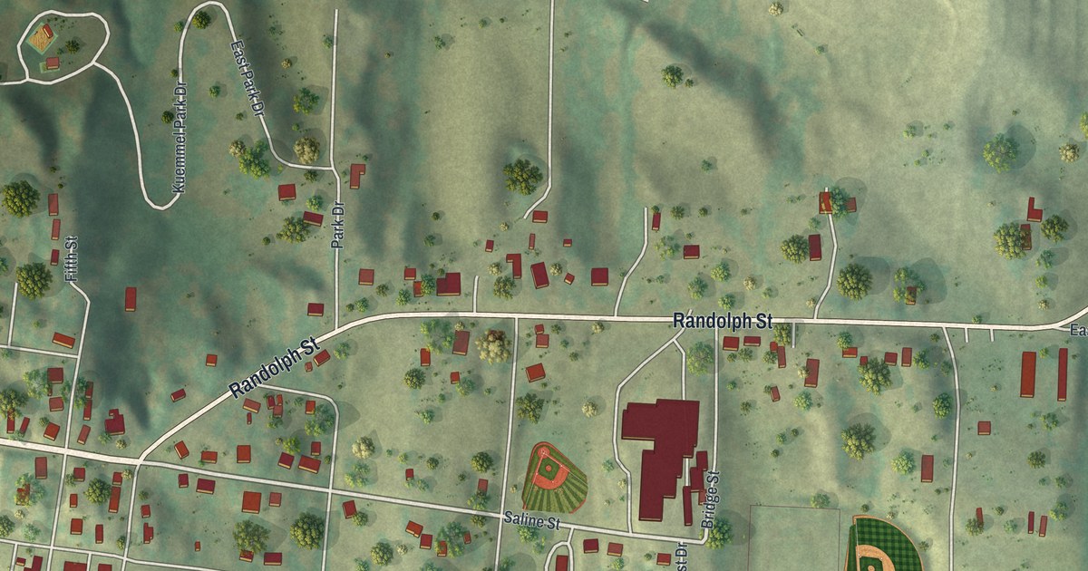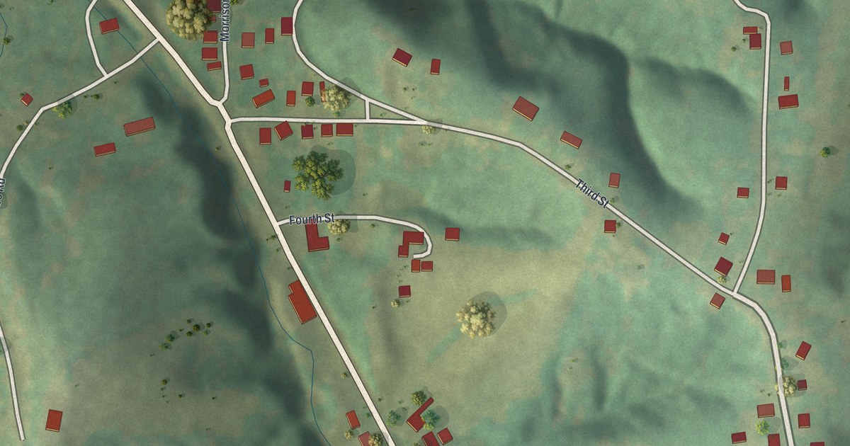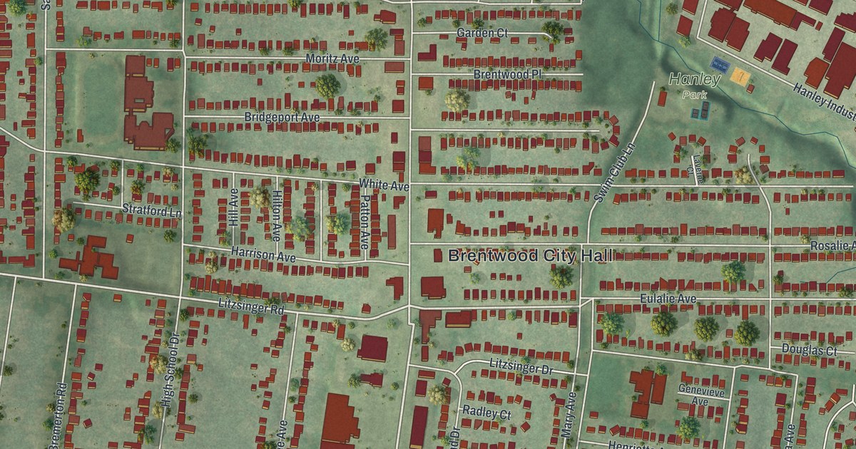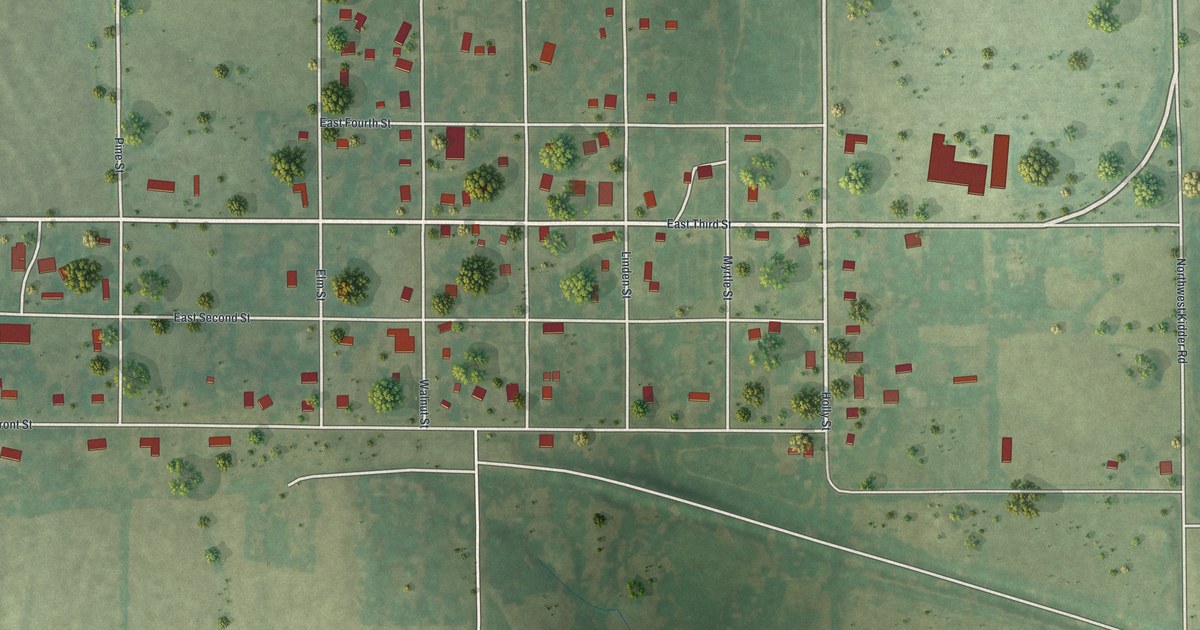
If you grew up in Kidder, have family on Holly Street or went to school here, this map gives you plenty to find. It's a modern aerial view of Kidder in Caldwell County, Missouri, built from modern data and finished with a vintage feel. The town grid sits in the middle of the sheet, with more than 200 buildings marked in red. Green fields and scattered trees fill the land around it.
Holly Street, East Front Street and Northwest College Drive
Start with Holly Street near the top center of the map. It runs south through the town grid toward the bottom of the sheet. Elm Street, Walnut Street and Maple Street also run north to south through the middle. In the lower half, you'll find Linden Street, Pine Street and Myrtle Street running the same way. Look farther left for Locust Street. Many roads are named, and each red shape is a building, so zoom in on the preview and look for yours.
Kidder township in 1867
A county history says Kidder township was first organized in May 1867. It then covered all of range 29 north of Shoal Creek. Its boundaries were reduced in May 1870. That account describes the township, not the founding of the city shown on this map. The Census Bureau counted 267 people in Kidder city in 2020. On the print, look for the open green spaces between the red buildings along East Front Street.
For someone who knows Holly Street and East Front Street
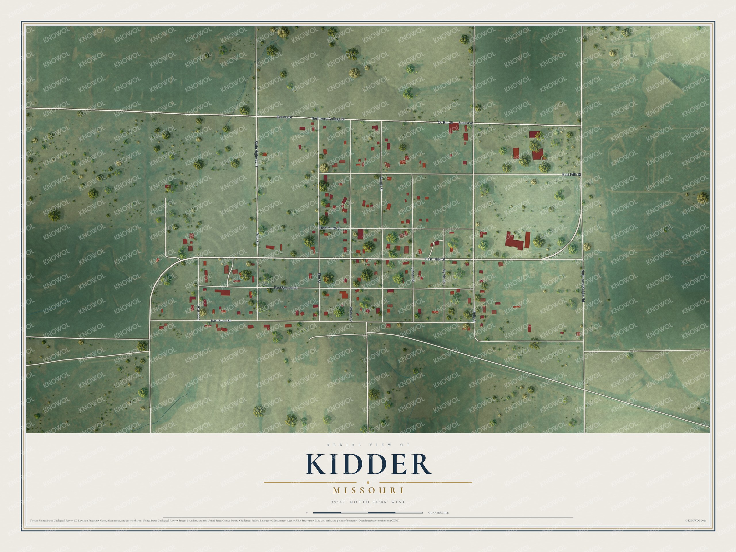
Created by KNOWOL in 2026, this Kidder map shades the fields in soft green, dots them with trees and marks each building in deep red. The land shading comes from USGS elevation data. The title panel reads "Aerial View of Kidder, Missouri," with the coordinates 39°47' North, 94°06' West and a quarter-mile scale bar.
It suits a kitchen, a hallway or an office wall, and it looks right at home in a farmhouse. It's a thoughtful gift for someone who grew up on Holly Street or one of the streets named for trees, or for anyone who moved away and still calls Kidder home. Open the watermarked preview, zoom in and find the street you know. See sizes and frames for the Kidder map.