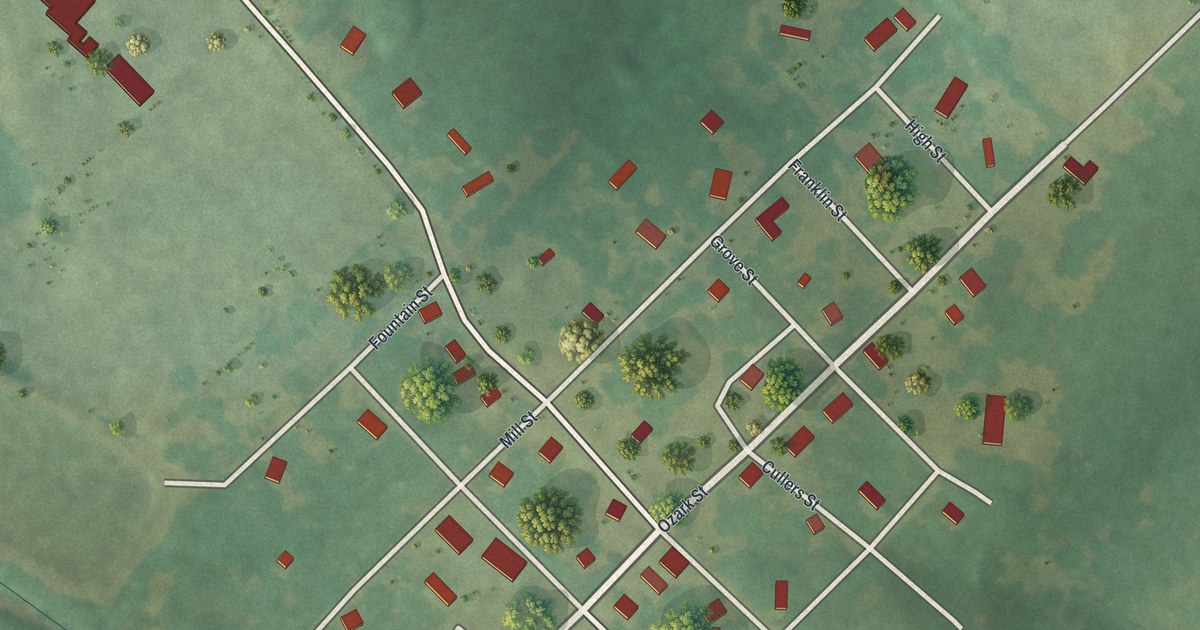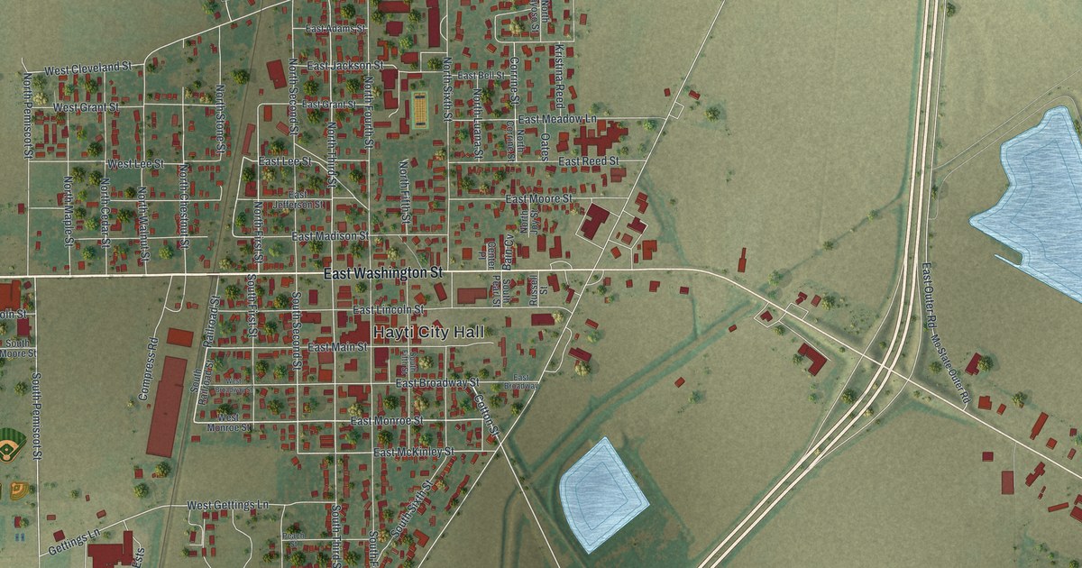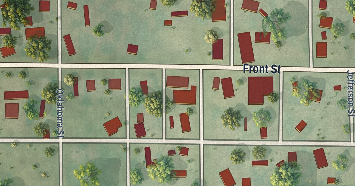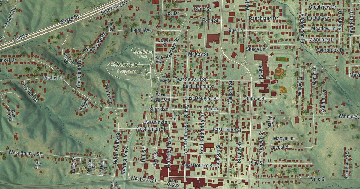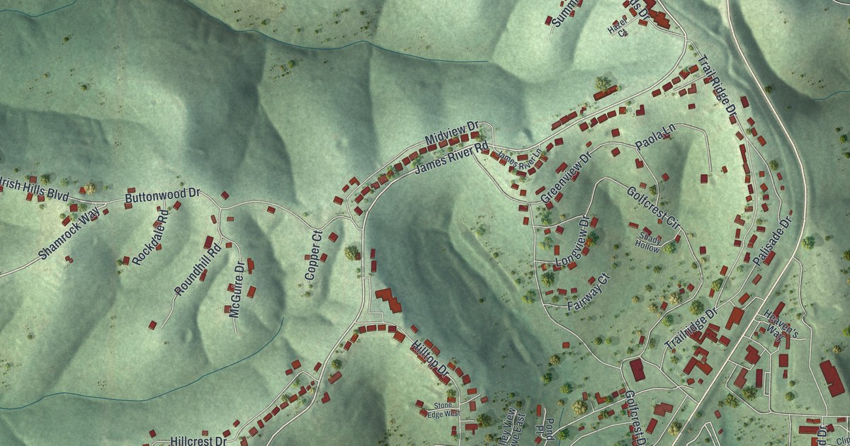
This beautifully detailed map of Kimberling City, Missouri was created in 2026 using aerial imagery combined with modern topographical, census, street and landmark data. It’s a one-of-a-kind view of Kimberling City that combines accurate data with a vintage aesthetic. The map shows every building in its true location, many of the roads carry their names, and the shaded topographic relief shows the shape of the land.
Explore an aerial view of Kimberling City, Missouri
On the map you’ll find James River Road, Shamrock Way, Irish Hills Boulevard, Sycamore Drive, Lakeshore Drive, Whiterock Lane, Woodland Avenue, Cape Kimberling Road, Kimberling Boulevard, Northwoods Drive, Skyline Drive, Oak Drive, and more. If you look closely you can even find your house accurately drawn in its correct location. Zoom in on the preview to look for yours.
Did you know this piece of Kimberling City, Missouri history?
From the City of Kimberling City: "The City was named after the Kimberling Family, who for many years had operated a ferry approximately where the present State Highway 13 bridge is now located."
Take a closer look at the Kimberling City map
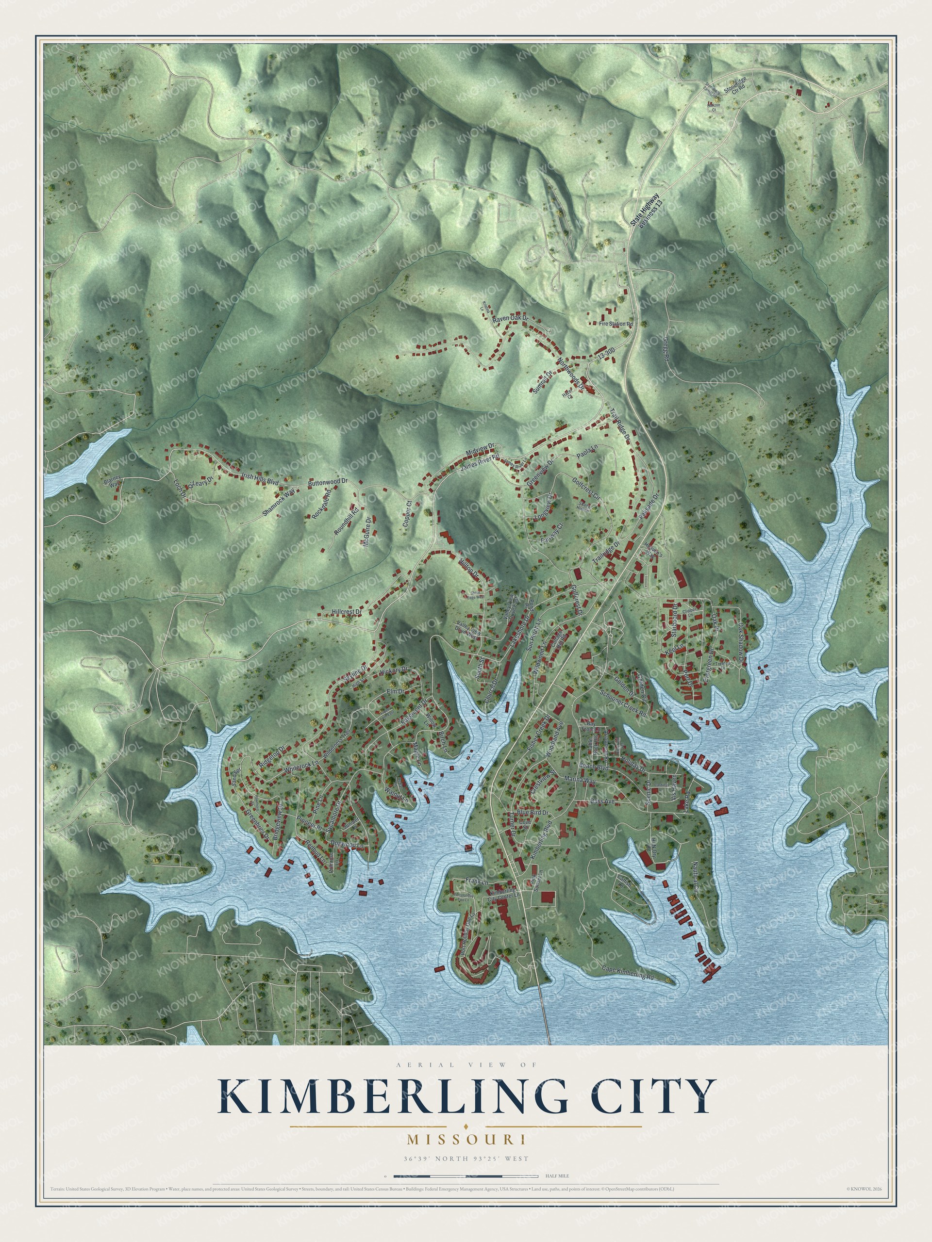
Street names on the Kimberling City, Missouri map
These names are printed on the map of Kimberling City, Missouri.
Streets and roads: James River Road, Shamrock Way, Irish Hills Boulevard, Sycamore Drive, Lakeshore Drive, Whiterock Lane, Woodland Avenue, Cape Kimberling Road, Kimberling Boulevard, Northwoods Drive, Skyline Drive, Oak Drive.
More street names, A to Z
Arrowhead Road, Aspen Lane East, Bass Avenue, Bay Front Lane, Beach Boulevard, Birch Lane, Blarney Way, Blue Bird Drive, Bridgeview Drive, Buttonwood Drive, Cardinal Lane, Catfish Lane, Cedar Lane, Church Drive, Clipper Lane, Copper Court, Cottage Hill Road, Cove Street, Crestview Street, Dogwood Lane, Edgemont Drive, Elm Drive, Emerald Terrace, Evergreen Drive, Fairway Court, Fire Station Road, Fisher Creek Drive, Frank Lane, Golden Circle, Golden Drive, Golfcrest Circle, Golfcrest Drive, Greenbrier Drive, Greenview Drive, Gregg Road, Hawthorn Street, Hazel Court, Heaven's Way, Hi-N-Dry Road, Hickory Drive, High Street, Hillcrest Drive, Hilltop Drive, Holiday Drive, Horizon Court, James River Lane, Juniper Lane, Keel Lane, Kimberling City Center Lane, Kristina Lane, Lake Road, Loch Drive, Longview Drive, Maple Lane, Marina Way, McGuire Drive, Midview Drive, Nautical Circle, O'Leary Drive, Oak Shadow Drive, Palisade Drive, Paola Lane, Pine Lane, Pink Sunset Lane, Pioneer Place, Pond Place, Port Drive, Port Holiday One Lane, Port Holiday Two Lane, Primrose Lane, Raven Oak Drive, Redbud Lane, Ridgetop Drive, Rockdale Road, Roundhill Road, Sand Spr, Scenic Drive, Schooner Creek Road, Shady Hollow, South Street, Starboard Drive, State Highway Business 13, Stone Edge West, Stoneridge Center Road, Stoneridge Ctr Road, Summit Drive, Sun Perch Lane, Table Rock Heights, Trail Ridge Drive, Trailridge Drive, Treetop Drive, Turner Drive, Valley View Drive East, Valley View Drive West, Vis Haven, Walnut Lane, Wilderness Trail, Wildwood Lane, Willow Lane.
See the Kimberling City, Missouri map on a wall
The Kimberling City map as an 18 x 24 inch print in a black frame.

This beautifully detailed map of Kimberling City makes an attractive addition to your office, library, or den, and it can even be used to teach children the geography and history of the area. It also makes a great gift for anyone with Kimberling City roots. When you’re done exploring, click here to get your copy of the Kimberling City map.