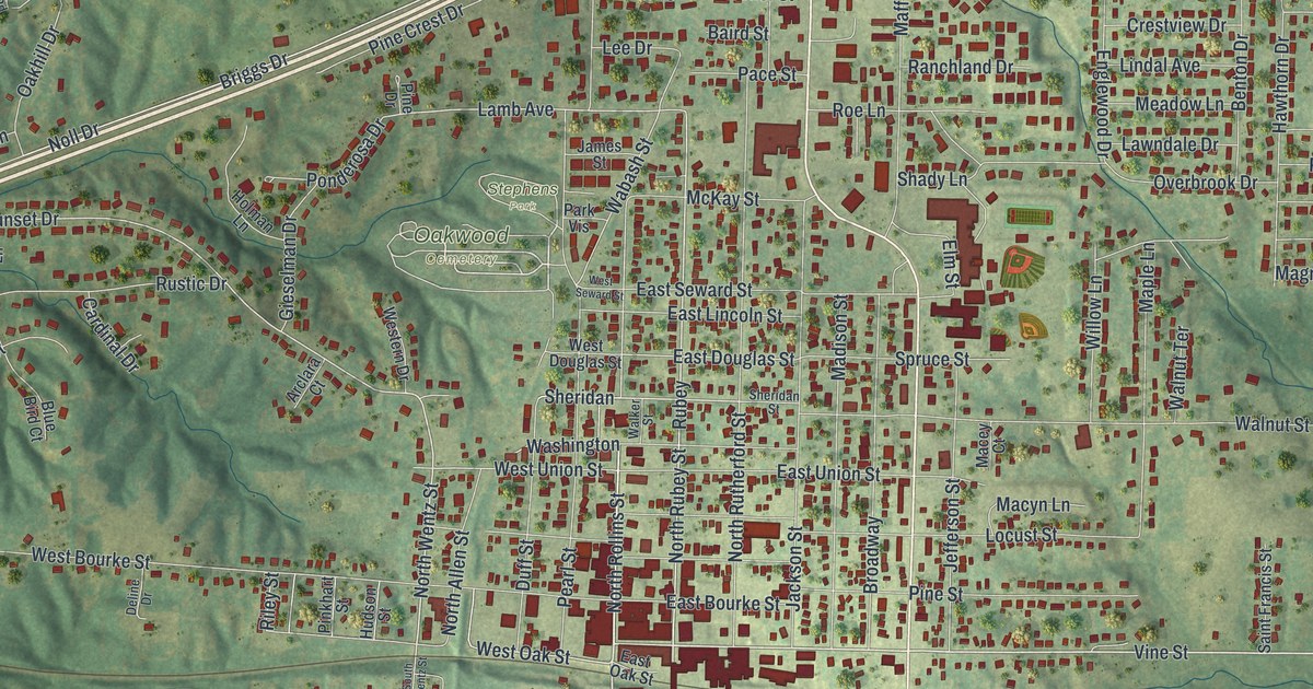
If you grew up in Macon, this print gives you a way to keep home close. It's a modern aerial view of Macon in Macon County, Missouri, made with modern data and a vintage feel. Red buildings gather along the town's streets, with green hills around them. A long blue lake fills the upper left of the print.
Macon, the Macon County seat
On this map you'll find North Missouri Street, South Missouri Street, East Briggs Drive, North Rollins Street, Main Street, Vine Street, Wabash Street, Blees Park, Stephens Park, Oakwood Cemetery, Woodlawn Cemetery, and more. Each red shape is a building, so zoom in on the preview and look for yours.
The State Historical Society of Missouri's place-name account identifies Macon as the county seat. It records that the town was laid out in 1856. On this view, you can pick out today's town center by its close-set red buildings. North Rollins Street and Vine Street are among the names you can read there, with smaller blocks and open ground beyond.
Keep Macon and Blees Park close
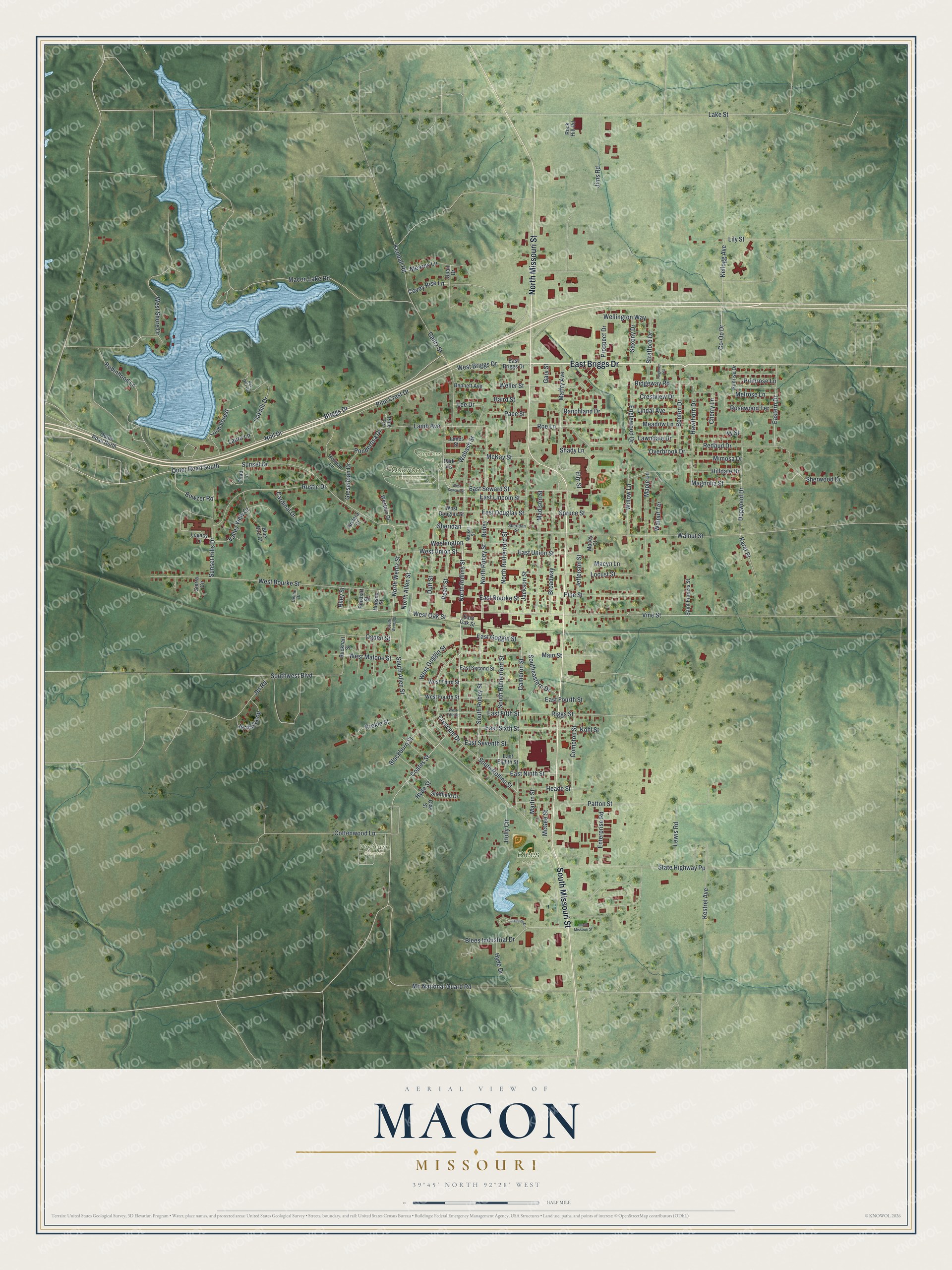
Created by KNOWOL in 2026, the print pairs green shaded hills with blue water and dark red buildings. A fine border surrounds the view above a cream title panel. The panel reads AERIAL VIEW OF MACON, MISSOURI, with 39°45' NORTH 92°28' WEST below.
Hang it in a living room, office, or entryway for a daily view of home. It's a gift for someone who knows Blees Park or has family in Macon. Open the preview and take a closer look at the streets you know. See sizes and frames for the Macon map.