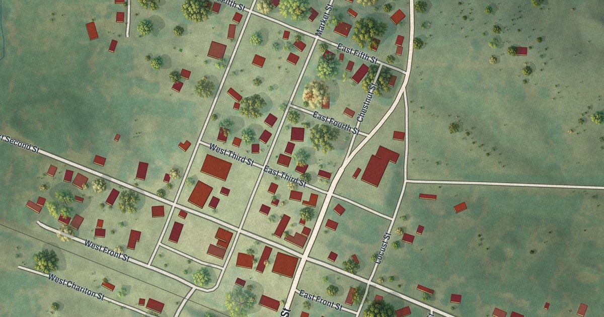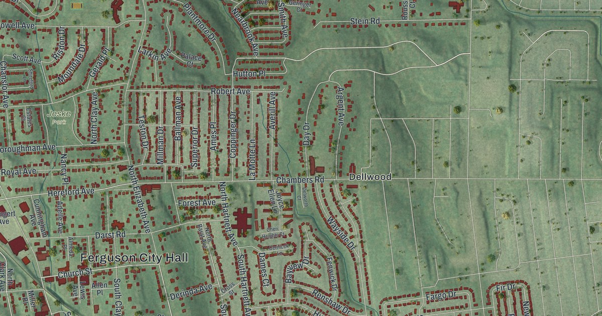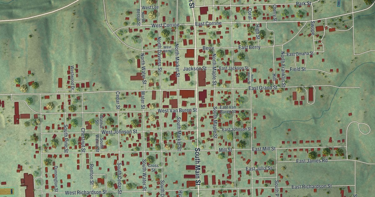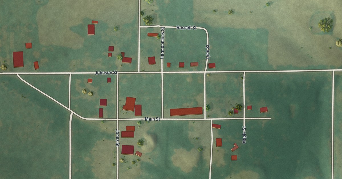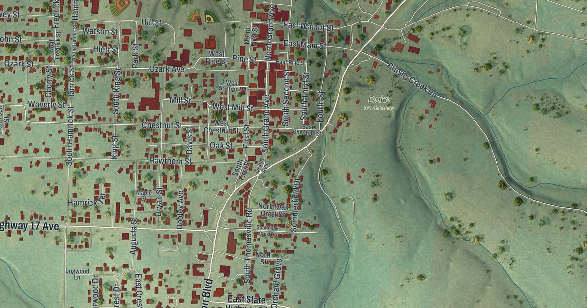
If you grew up in Houston or have family here, look for your block. This modern aerial view of Houston in Texas County, Missouri uses modern data with a vintage feel. Red buildings cluster along the town's streets, with green hills and winding blue waterways around them.
Sam Houston Boulevard and Houston's name
On this map you'll find Sam Houston Boulevard, Grand Avenue, Pine Street, Mill Street, Ozark Avenue, Chestnut Street, East Main Street, West Pine Street, North Second Street, Mineral Springs City, Duke Cemetery, and more. Each red shape is a building, so zoom in on the preview and look for yours.
Houston takes its name from Sam Houston, according to the State Historical Society of Missouri's place-name account. He was twice president of the independent state of Texas. He also served as a United States senator from Texas. On this print, you'll spot his full name on Sam Houston Boulevard among the red buildings and street labels.
Houston and the hills around town
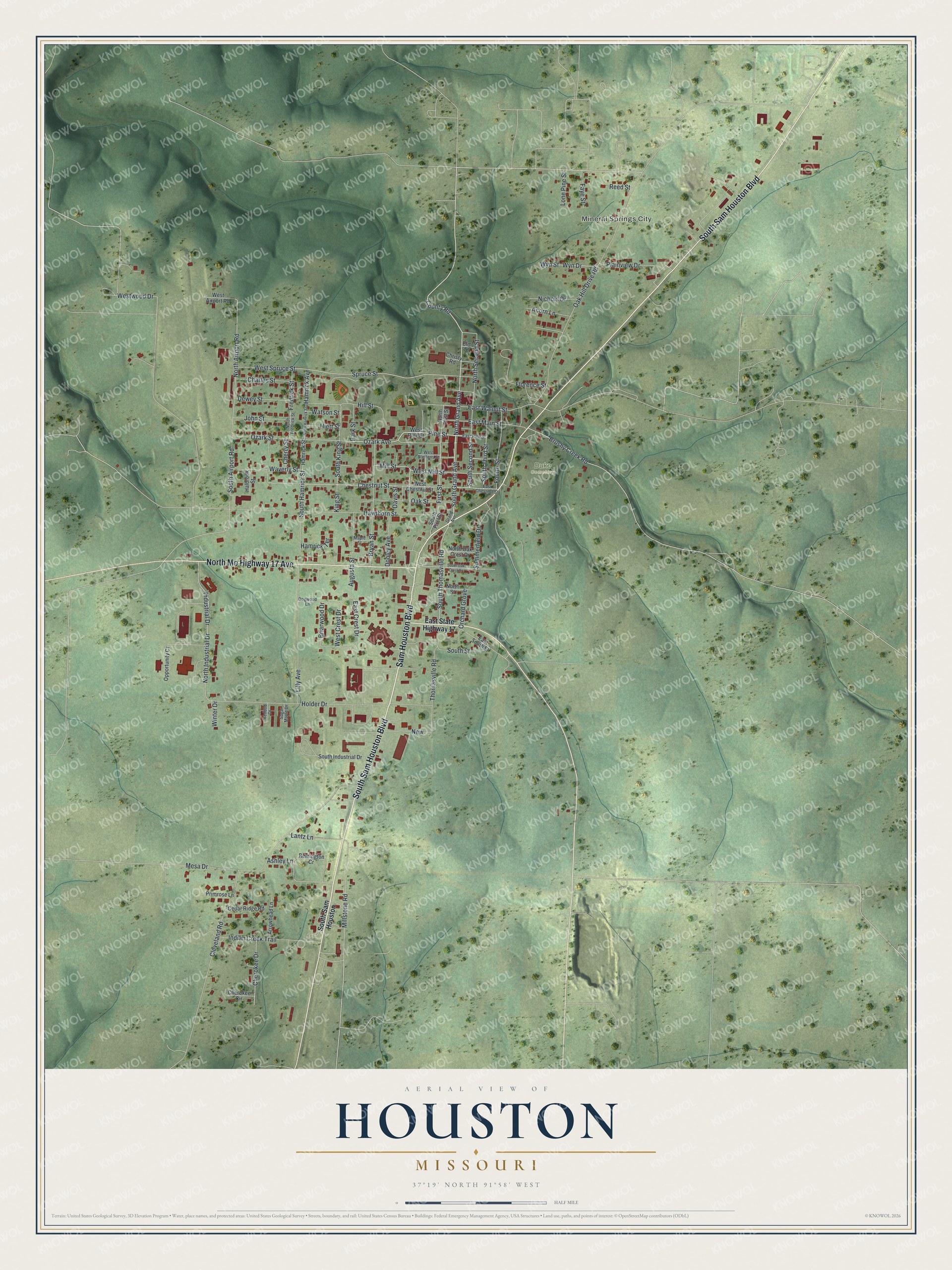
Created by KNOWOL in 2026, this print pairs soft green hills with red buildings and thin blue waterways. A cream border surrounds the view. The title panel reads AERIAL VIEW OF HOUSTON, MISSOURI, with 37°19' NORTH 91°58' WEST below.
Hang it in a living room, home office or entryway. It's a gift for someone who grew up near Pine Street and now lives far from home. Open the preview to explore the streets and find the block you know best. See sizes and frames for the Houston map.