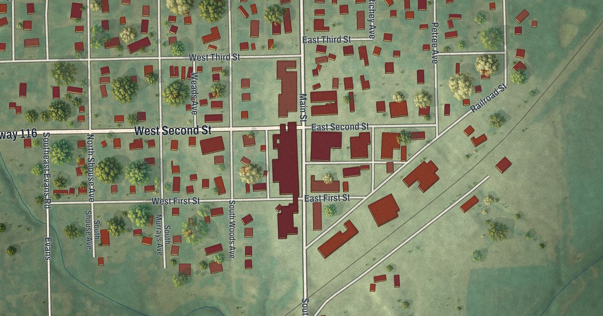
If you grew up in Braymer, went to school here or still have family on these streets, this map has plenty for you to find. It's a modern aerial view of Braymer in Caldwell County, Missouri, made from modern data and given a vintage look. Nearly 700 buildings are marked in red. In town, the numbered streets run from West First and East First Streets up to Ninth Street. Green fields and gently shaded hills wrap around the town on every side.
Main Street, West Second Street and Railroad Street
On this map you'll find Main Street, West Second Street, East Second Street, Railroad Street, School Street, Bobcat Avenue, Wooden Avenue, South Main Street, Southeast Tait Park Drive, West First Street, West Third Street, West Fourth Street, Ninth Street, and more. Each red shape is a building, so zoom in on the preview and look for yours.
How the railroad started Braymer
Braymer is a railroad town. A 1923 county history says a new rail line opened up "a fine farming community" in this part of Caldwell County. The book calls that line "the direct cause of the founding of Braymer and Cowgill." It also says the first building in the new town was an office. It stood on the corner later held by the Bank of Braymer. The first school was a frame house with four rooms. A larger building soon took its place. By the time the book came out, another large building had been added. On the map, Railroad Street still runs on its slant, cutting across the square grid of numbered streets.
Braymer's aerial view and Main Street
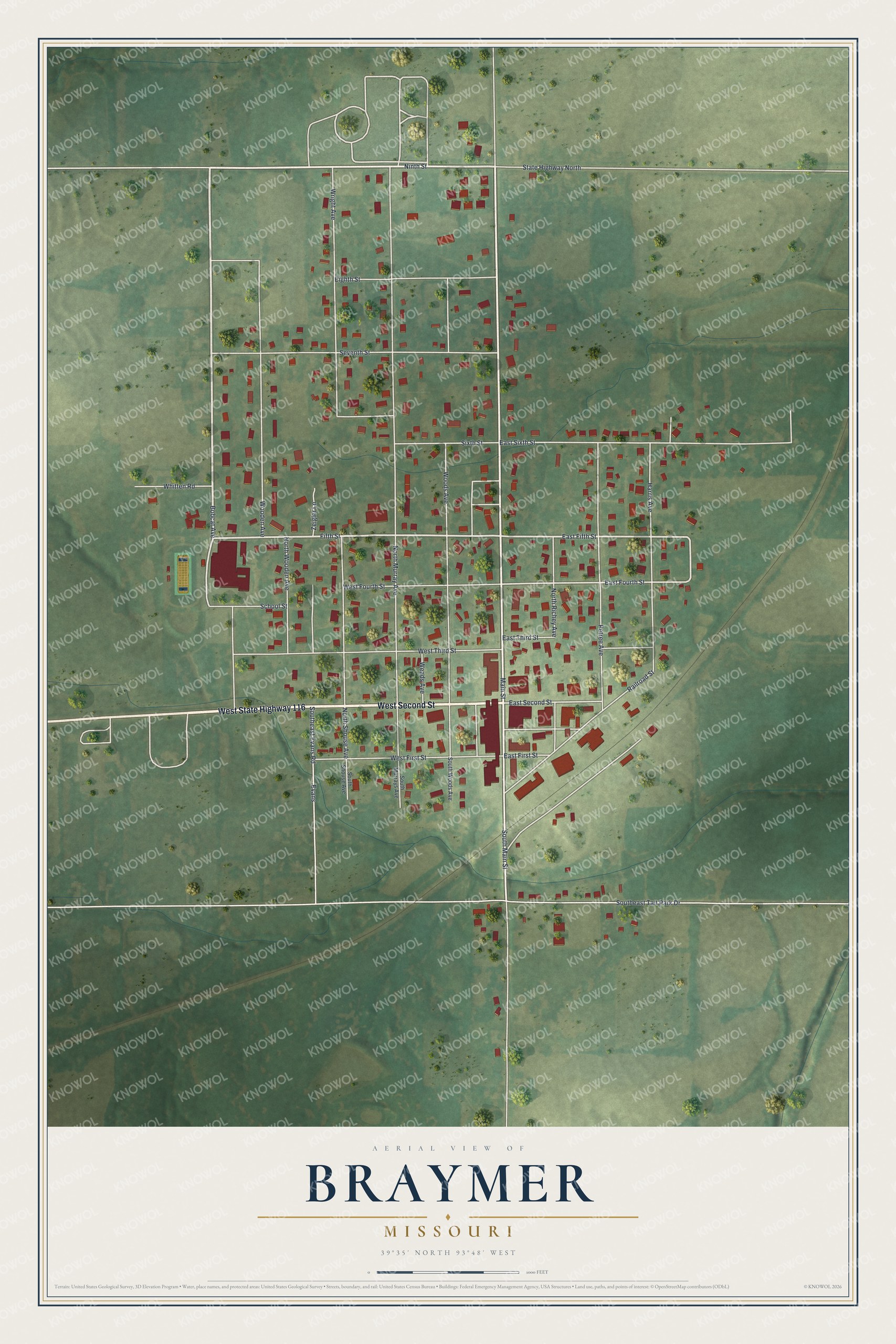
Created by KNOWOL in 2026, this Braymer map shades the land in soft greens and marks each building in deep red. The hills come from USGS elevation data. The title panel reads "Aerial View of Braymer, Missouri," with the coordinates 39°35' North, 93°48' West and a scale bar in feet.
It suits a kitchen, a den or an office wall. It's a thoughtful gift for someone who grew up here and moved away, or for anyone who knows downtown Braymer by heart. Open the watermarked preview, zoom in and find the street you know. See sizes and frames for the Braymer map.