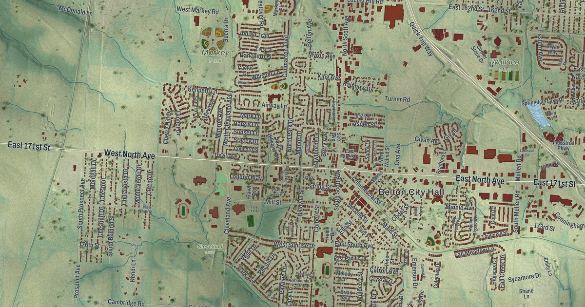
If you grew up in Belton, went to school here, or still drive past City Hall most days, this map has a lot for you to find. It's a modern aerial view of Belton in Cass County, Missouri, made from modern data and given a vintage look. More than 13,000 buildings are drawn in dark red, spreading out from the middle of town. Around them, green hills roll off to every edge, cut by creek valleys. Small blue lakes sit out in the hills, and a long one runs down the left side.
From Belton City Hall along North Avenue
On this map you'll find Belton City Hall, East North Avenue, West North Avenue, East 171st Street, Mullen Road, Main Street, Mill Street, Commercial Street, Hargis Lane, Markey Park, Wallace Park, Cleveland Lake, Springdale Drive, County Line Road, East Cambridge Road, Peculiar Drive, and more. Each red shape is a building, so zoom in on the preview and look for yours.
How Belton started in 1871
Belton was platted in 1871. That means the town was laid out in lots and streets that year. Nine years later it was a city of the fourth class, with 1,000 people. That's from the 1917 History of Cass County, Missouri. The same book says the Bank of Belton was started in 1884. It also says Hargis started the first bank in Belton. The 1917 history also says Belton's first brick building was still standing and in good repair. Find City Hall, then look nearby for Hargis Lane.
For someone who knows Markey Park and North Avenue
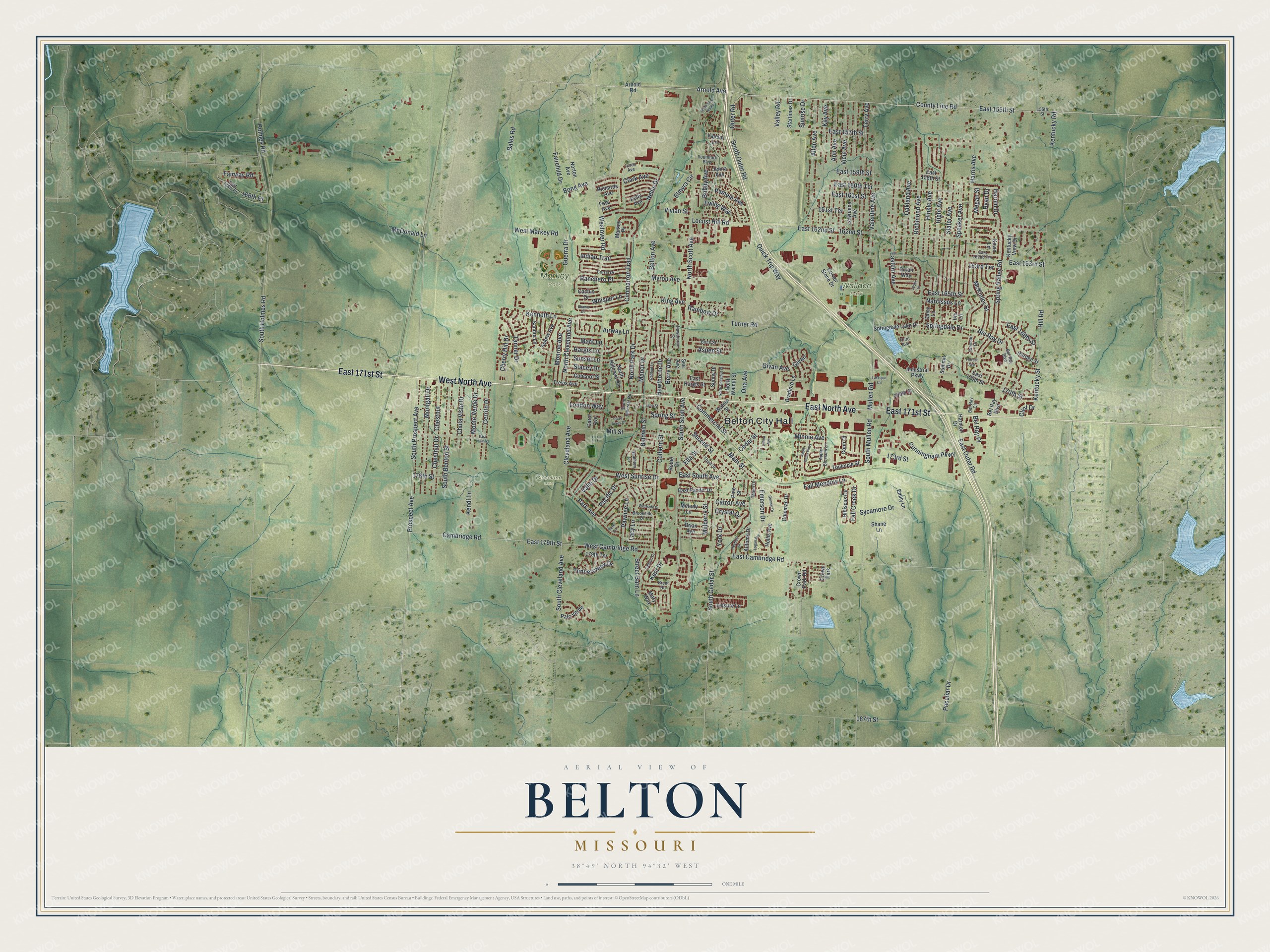
Created by KNOWOL in 2026, this Belton map shows the town center and open green country around it. The shaded hills come from USGS elevation data, and buildings appear as small dark red shapes you can pick out up close. The title panel reads "Aerial View of Belton, Missouri" with 38°49' North, 94°32' West and a one-mile scale bar.
It fits a family room, a home office or a hallway where people stop and look. It's a good gift for someone who knows Markey Park, or for anyone who grew up in Belton and moved away. Open the preview and look for North Avenue and the street you know. See sizes and frames for the Belton map.