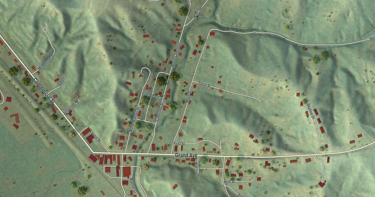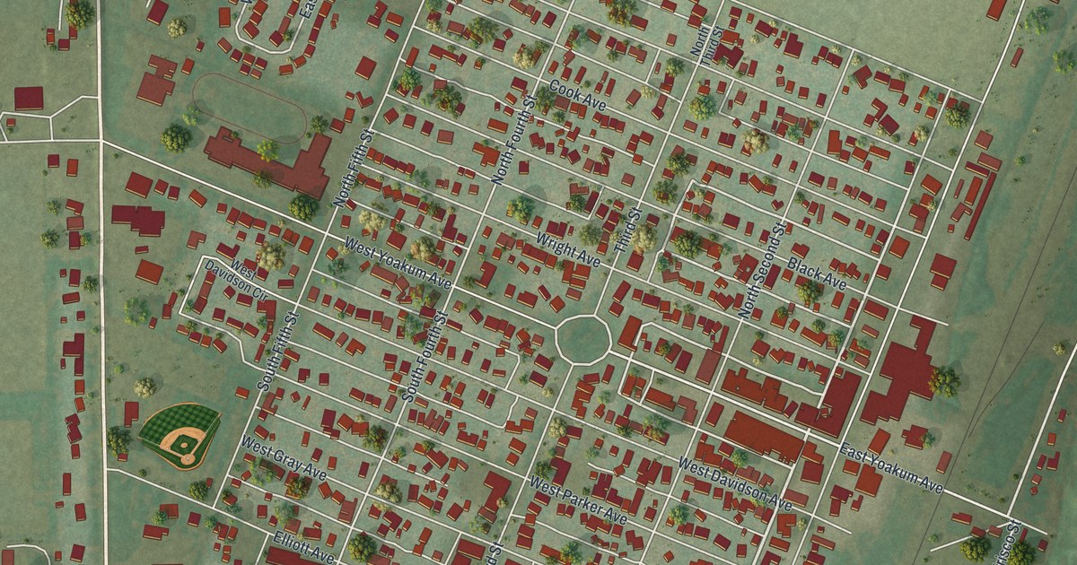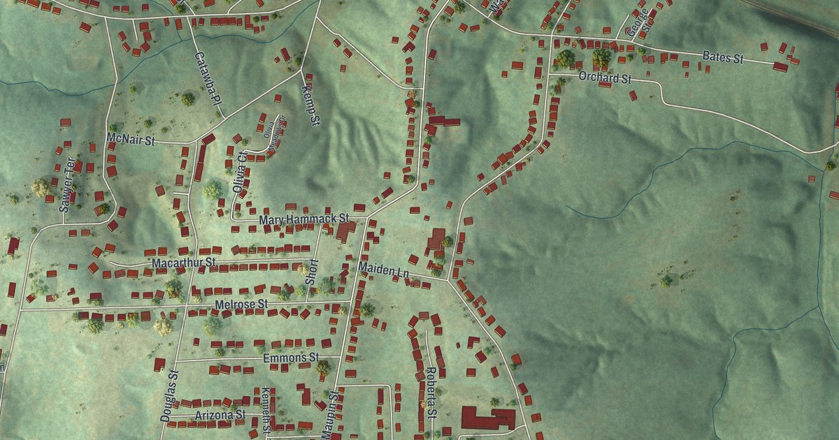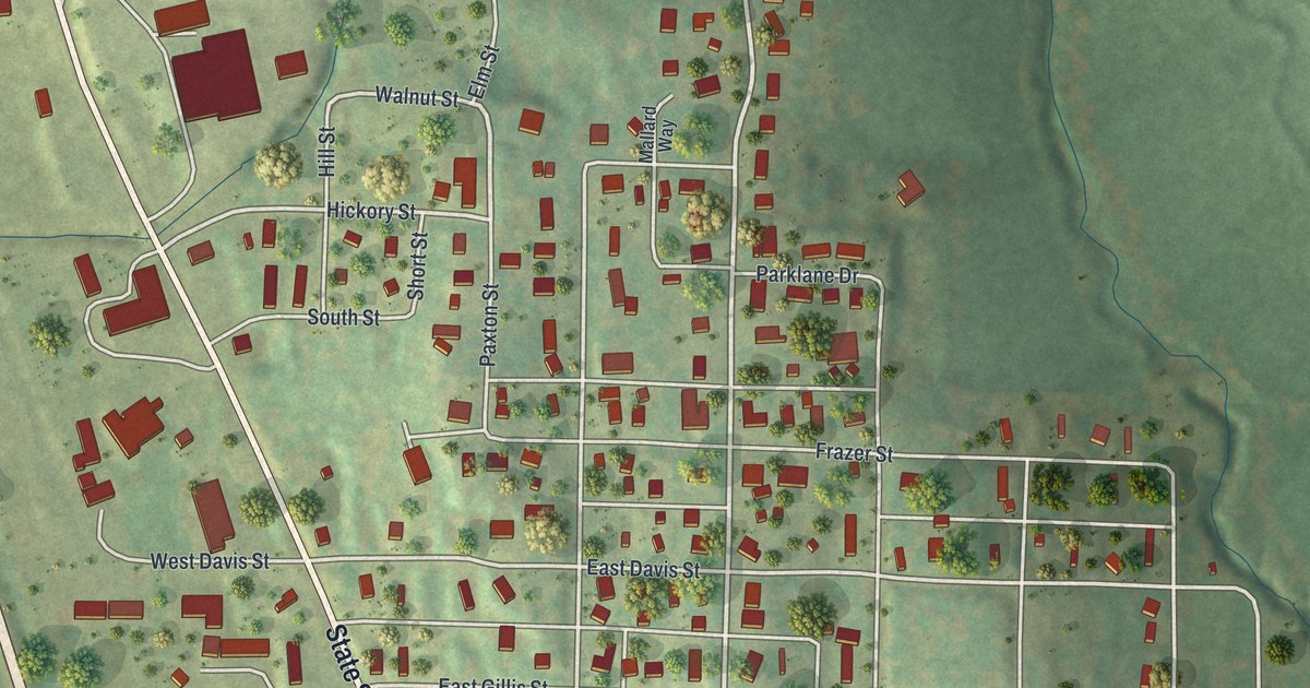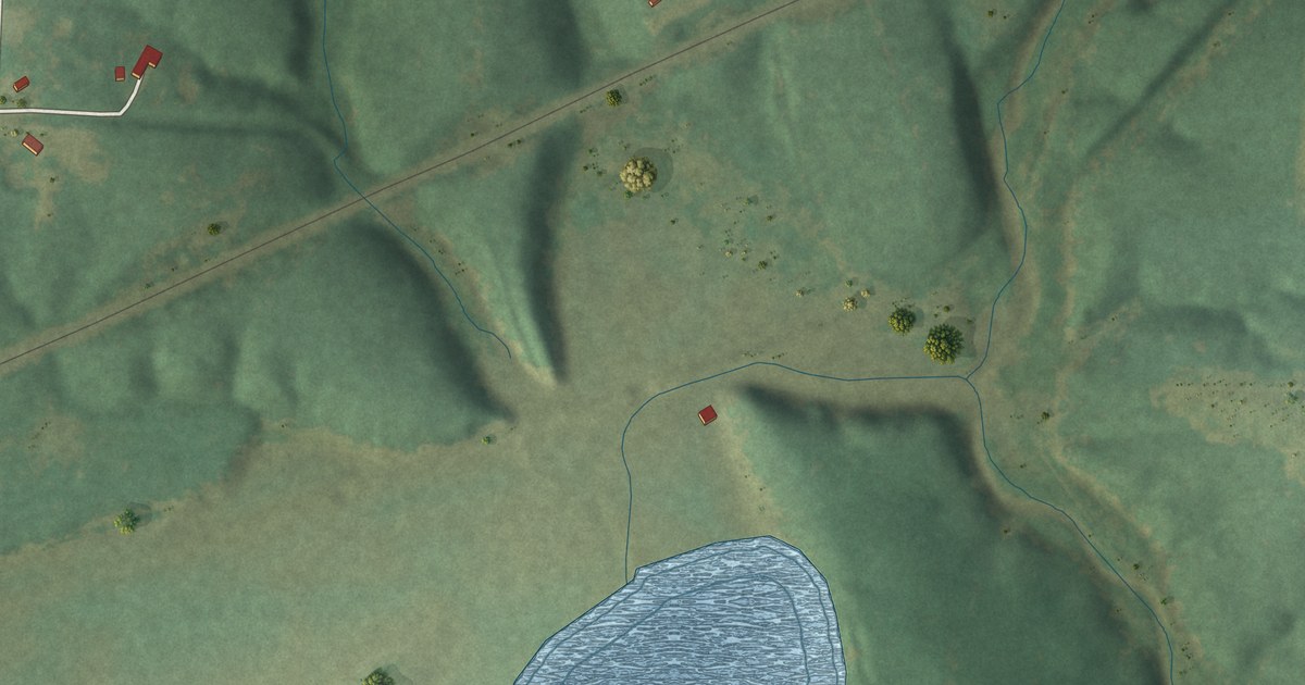
If you grew up in Stoutsville, these streets may bring a bit of home close. This modern aerial view of Stoutsville in Monroe County, Missouri uses modern data with a vintage feel. Red building shapes dot the green land, and blue water curves across the lower part of the print.
Stoutsville's streets and its railroad start
On this map you'll find Woodson Street, Church Street, North Priest Street, Pollard Street, Monroe Road 439, Monroe Road 480, Monroe Road 486, Monroe Road 357, and more. Each red shape is a building, so zoom in on the preview and look for yours.
The 1884 Monroe County history says Stoutsville was laid out in 1871. It stood on the Missouri, Kansas and Texas Railroad in Jefferson Township. On this print, a rail line cuts across the green land near the village streets. It's a visible link to the railroad setting described in that early account.
Keep Stoutsville close to home
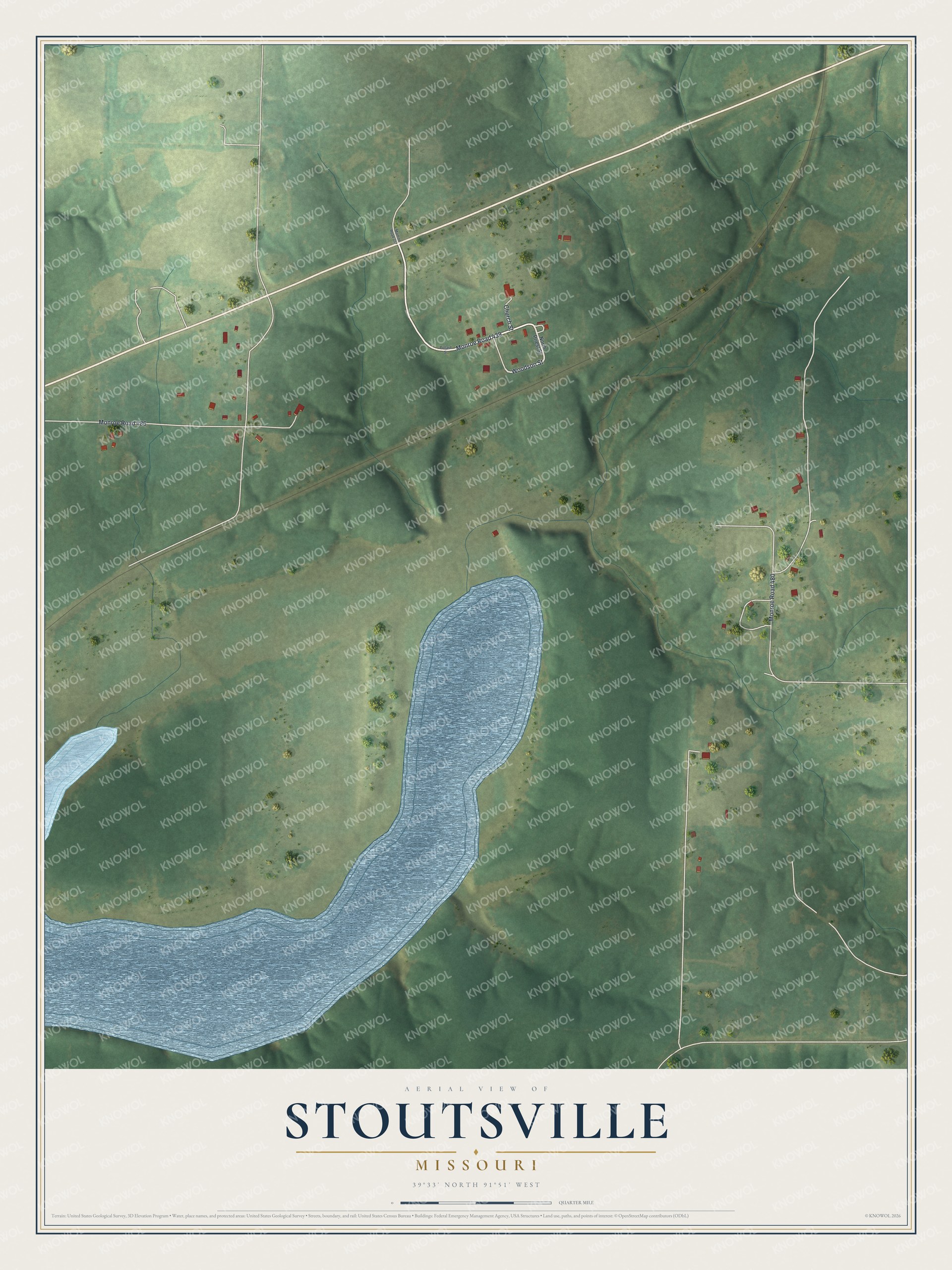
Created by KNOWOL in 2026, the print pairs shaded green land with blue water and small red building shapes. A cream border surrounds the view. The title panel reads AERIAL VIEW OF, STOUTSVILLE, MISSOURI, with 39°33' NORTH 91°51' WEST below.
This Stoutsville print suits a living room, office or entryway. It's a gift for someone who grew up on Woodson Street or has family here. Open the preview to take a closer look at the streets and water. See sizes and frames for the Stoutsville map.