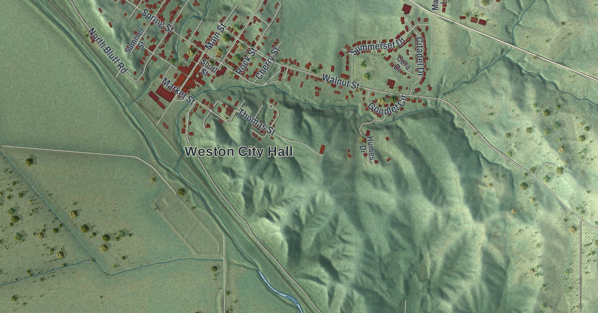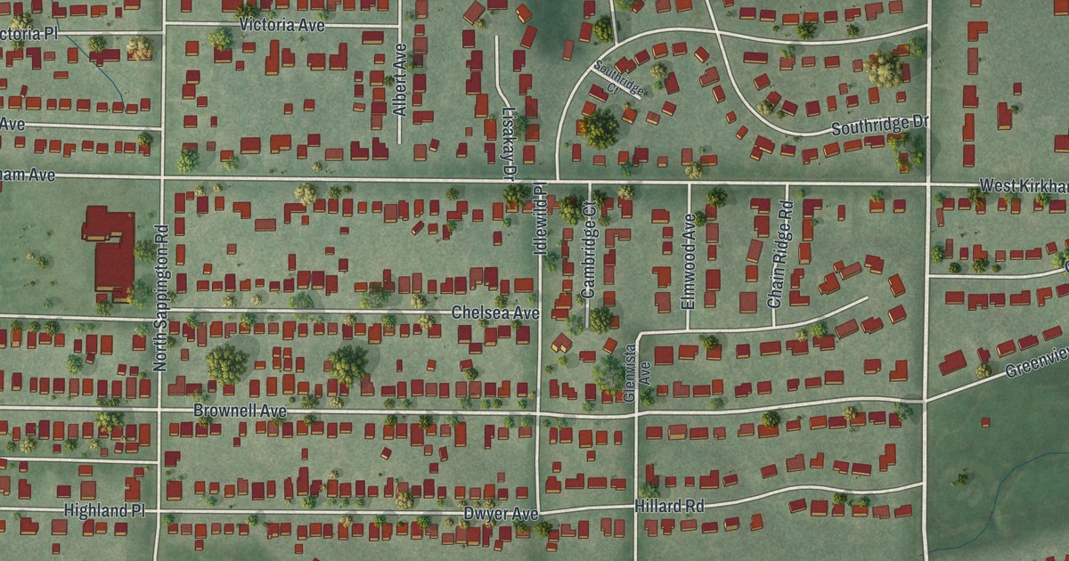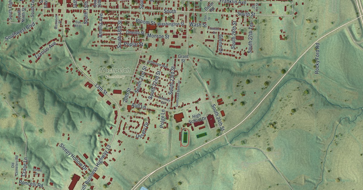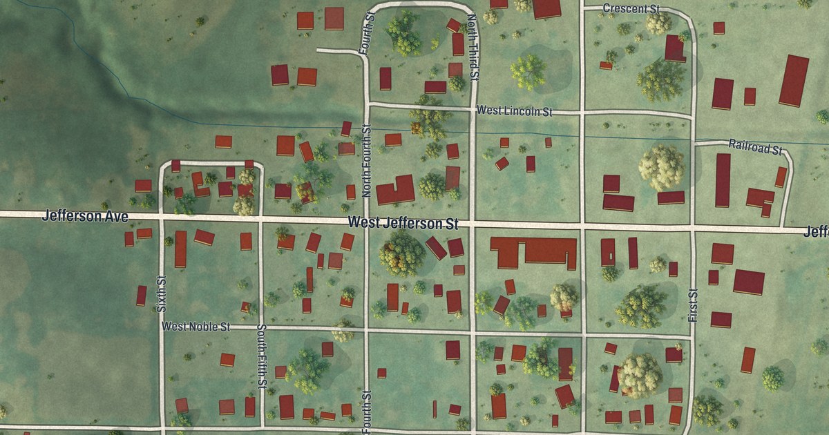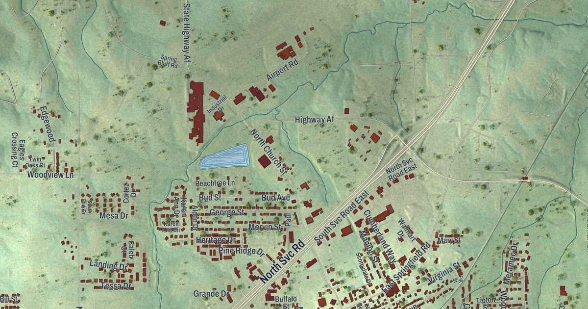
If you grew up in Sullivan or still have family on its hilly streets, this map was made with you in mind. It's a modern aerial view of Sullivan in Franklin County, Missouri, built from modern data and given a soft vintage look. Green hills fold around the town, a wide highway cuts across the sheet from corner to corner, and more than 5,000 red buildings fill the blocks around Sullivan City Hall. Two small blue ponds sit near the edges of town.
Sullivan's first name was Mount Helicon
On this map you'll find West Main Street, East Main Street, Sullivan City Hall, North Church Street, South Mansion Street, North Olive Street, East Springfield Road, Elmont Road, Franklin Street, Airport Road, Pump Hollow Road, Sappington Bridge Road, Hughes Ford Road, and more. Each red shape is a building, so zoom in on the preview and look for yours.
Sullivan had another name before this one. The State Historical Society of Missouri keeps old place-name records, and they say its earliest name was Mount Helicon. A post office opened under that name in 1856. It closed in 1860. On this map, the hills still rise in green folds around town. The steepest ones sit southeast of Sullivan City Hall, near Pump Hollow Road.
The Harney summer home on South Mansion Street
Sullivan also has two places on the National Register of Historic Places. One is the summer home of Major General William S. Harney, listed in 1984. Its address is on South Mansion, so look along South Mansion Street near the middle of the map. The other is Shamrock Court, on South Service Road, listed in 2022. Both sit inside the city, among the red buildings you can see on the print.
From Sullivan City Hall to Pump Hollow Road
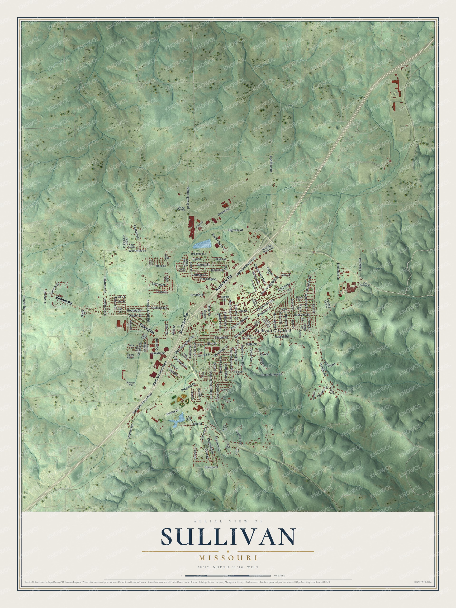
Created by KNOWOL in 2026, this print shows Sullivan in soft greens, with shaded hills, thin blue streams and deep red buildings. The title panel reads Aerial View of Sullivan, Missouri, with 38°12' North 91°10' West printed below.
It fits a living room, a den, a hallway or an office wall. It's a warm gift for someone who grew up near Main Street and Sullivan City Hall, or for a friend who moved away and still calls Sullivan home. Open the preview and find your street. See sizes and frames for the Sullivan map.